

Village Abalá, Yucatán Municipality of Abalá Yucatán's cenote route Camino Real (Yucatán)
A quiet Maya village south of Mérida, seat of a municipality of old henequen haciendas and cenotes such as Mucuyché, Kankirixché and Yaal Utzil.
From Mérida: 45 min by car (49 km by road) How to get there ↓
Near here
See everything nearby ↓


Plan your visit to Abalá
Where to stay near Abalá
Compare hotels, posadas and guest houses in Abalá.
Tours to Abalá
Day trips and guided outings from Maní often include Abalá; with a local guide you can get there without a car.
 Tours from Merida
From Merida: Chichen Itza Tour, Izamal, Cenote Ik Kil and Food
★ 4.9 (578) · From US$74
How to get to Abalá
- From Mérida: about 45 min by road (~49 km)
- Nearest airport: Mérida (MID), 1 h 27 min by car to Maní
Links open a partner site. We may earn a commission if you book, at no cost to you.
Tours from Merida, near Abalá


Tours, prices and ratings from Viator, checked weekly. We may earn a commission if you book.
About Abalá
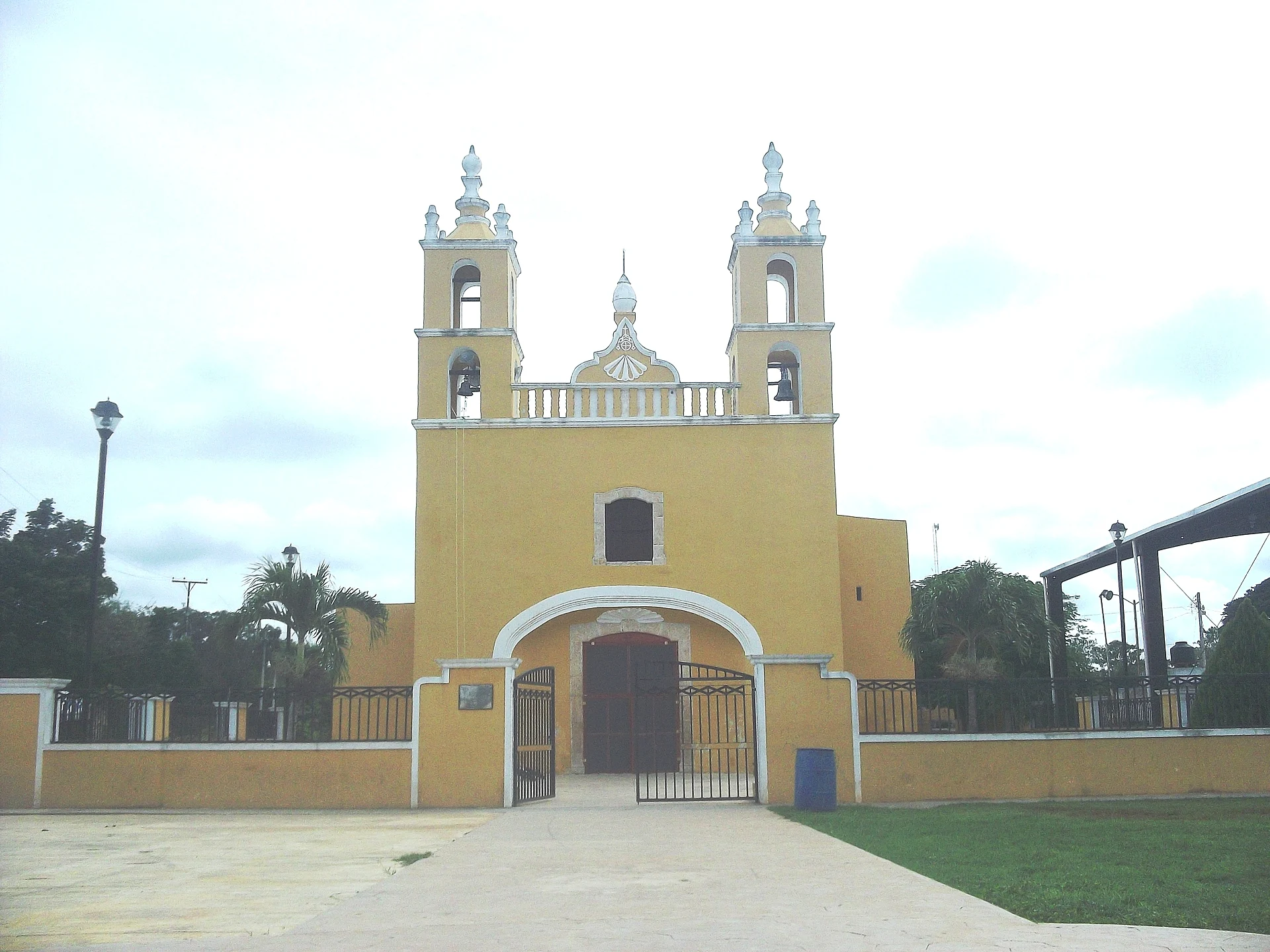
Abalá is a small town of about 2,040 people (2020 census) and the seat of the municipality of the same name, about 37 km south of Mérida in the southwest of Yucatán state. The name is Maya and is usually explained as "place where plum juice is drunk", from abal, the native plum (ciruela), and a contraction of ja', water; it used to be written Abalhá. Like most villages in this part of the state, it is low and flat, set among scrub and old henequen fields, and life centers on the main plaza with its yellow church, its two bell towers facing the square, and the blue municipal palace.
In the colonial period Abalá was an encomienda: the right to its people's tribute was granted in 1549 to Francisco de Montejo the Younger, son of the conqueror of Yucatán, and later passed through a string of Spanish nobles, including the Countess of Olivares and the Duchess of Medina Sidonia; in 1727 the holder, Josefa Díaz Bolio, had 211 Maya under her charge. The municipality as it exists today dates from 1921. Its borders shifted with the haciendas: Maxal and Kambriche went to Muna in 1902, and Yaxcopoil passed to Umán in 1926. The area lies in the old henequen zone, and the economy is still mostly small-scale farming. Many people speak Maya; in 2010 about 3,800 of the municipality's residents aged three and over did.
The town itself is modest, but it is the gateway to some of the best day-trip stops south of Mérida. The municipality's 301 km² hold nine localities and around 6,550 people, many of them living in former haciendas: Uayalceh (the largest), Temozón Sur with its luxury hacienda hotel, Mucuyché with its cenotes, Pebá, Cacao and Sihunchén. Within a few kilometers of town are Hacienda Ochil on the Uxmal road, the semi-open cenote Kankirixché, Cenote Yaal Utzil and the Hacienda Mucuyché cenotes. Every year from 10 to 17 May, Abalá holds its fiesta in honor of the Virgin Mary.
How to get to Abalá
Drive from Mérida: 45 min, 49 km
From Mérida take Highway 261, the road to Uxmal, south through Umán. At Hacienda San Pedro Ochil turn east off the highway; Abalá is about 4 km along that road, roughly 45 minutes to an hour from Mérida. The same road continues east to Mucuyché. Without a car, shared vans to Abalá leave downtown Mérida from Calle 54 between 69 and 71, and mototaxis in Abalá cover the short hops to Mucuyché.
Directions to Abalá on Google Maps
Distances are in a straight line; the road is usually longer.
Links open a partner site. We may earn a commission if you book, at no cost to you.
From the nearest cities to Abalá
- Mérida · 49 km by road, 45 min
- Campeche · 161 km by road, 2 h 10 min
- Valladolid · 189 km by road, 2 h 40 min
Drive times by road from OpenStreetMap, without traffic or stops. Times marked ~ are estimated from the straight-line distance.
Before you go to Abalá: hours, prices and tips
- Best season
- Fiesta in honor of the Virgin Mary, 10–17 May every year. Wikipedia (Abalá Municipality) · checked Oct 2026
Hours and prices change, especially around holidays. Each fact links to where we checked it.
Visiting Abalá: what to see and do
Stroll the main plaza and visit the yellow twin-towered church.
Come for the town fiesta for the Virgin Mary, 10–17 May.
Swim in Cenote Kankirixché, a few kilometers east on the road to Mucuyché.
Take the guided tour and swim at the Hacienda Mucuyché cenotes.
Stop at Hacienda Ochil on Highway 261 on the way in or out.
Plan your trip
Places to stay in Abalá
Compare hotels, posadas, and rentals in and around Abalá.
Tours & activities
Day trips and guided outings from Maní often include Abalá; with a local guide you can get there without a car.
Rental cars
Pick up a car at MID (Mérida): about 1 h 27 min by road to Maní, then 42 km more to Abalá, on your own schedule.
Flights
The nearest airport with scheduled flights is Mérida (MID), about 1 h 27 min by road from Maní, the base for Abalá.
Mobile data
Signal can drop away from Maní: download a map of the way to Abalá before you set out, or carry an eSIM with data.
Links open a partner site. We may earn a commission if you book, at no cost to you.
Photos
When to go to Abalá warm
Abalá shares the climate of Maní, 42 km away. The best months to visit are January, February, November, and December.
See the month-by-month climate of Maní
Weather in Abalá now and the next 7 days
Live forecast from Open-Meteo. Chance of rain is the day's highest.
The closest Pueblo Mágico: Maní

Maní is the Pueblo Mágico closest to Abalá, with places to stay, food, and more to see.
Also close to
Closest to Abalá
-
Hacienda Ochil · Landmark · 4 km away
-
Cenote Kankirixché · Cenote · 5 km away
-
Hacienda Temozón Sur · Landmark · 5 km away
-
Cenote Yaal Utzil · Cenote · 8 km away
-
Cenotes Hacienda Mucuyché · Cenote · 8 km away
-
Hacienda Yaxcopoil · Landmark · 11 km away
-
Yunkú · Village · 11 km away
-
San Antonio Tzacalá · Village · 12 km away


Near Abalá


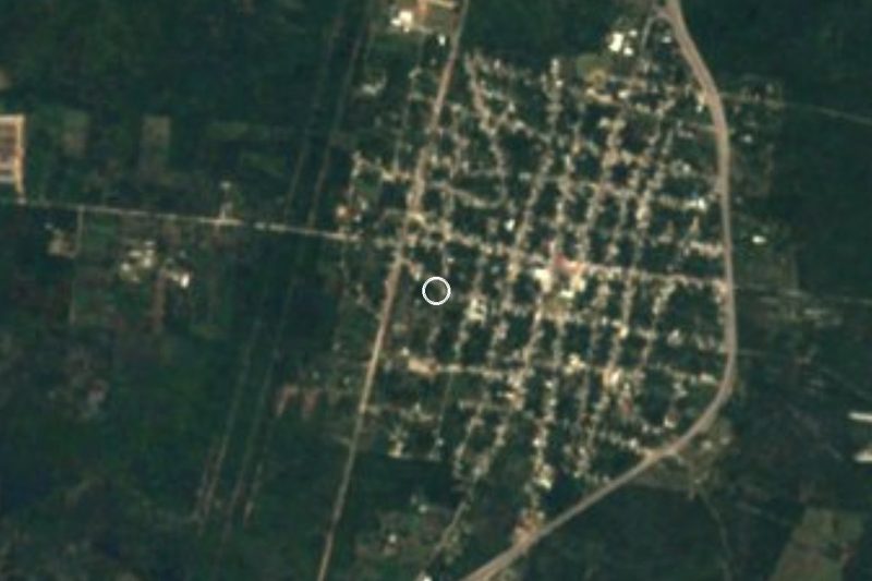


Drive times by road from OpenStreetMap, without traffic. Times marked ~ are estimated from the straight-line distance.
Location from OpenStreetMap. Written by Puebloteca.