Town Río Grande, Zacatecas
Bean-trading city on the Aguanaval River in northern Zacatecas, with a Carnival held since 1823 and the Santa Elena fair in August.
From Fresnillo: about 1 h 25 min by road (~95 km) How to get there ↓
Near here
See everything nearby ↓

Plan your visit to Río Grande
Where to stay near Río Grande
Compare hotels, posadas and guest houses in Río Grande.
Tours to Río Grande
Day trips around Sombrerete sometimes stop in Río Grande; a tour is the easy way to see it without a car.
How to get to Río Grande
- From Fresnillo: about 1 h 25 min by road (~95 km)
- Nearest airport: Durango (DGO), 1 h 53 min by car to Sombrerete
Links open a partner site. We may earn a commission if you book, at no cost to you.
About Río Grande
Río Grande calls itself "the Granary of the Nation": it is the largest town in the bean belt shared by Zacatecas and Durango, and more beans are bought and sold here than anywhere else in Mexico. With 35,050 people it is the state's fifth city, and its grain warehouses, farm-supply shops and three public markets (Juárez, Río Grande and Hidalgo) serve shoppers from Nieves, Sombrerete, Miguel Auza and Saín Alto.
Local tradition dates the Spanish settlement to August 18, 1562, the feast of Saint Helena, which gave it its first name, Santa Elena del Río Grande. The "big river" is the Aguanaval, which runs on into the Laguna region. The founder was Alonso López de Lois; his son-in-law, Captain Francisco de Urdiñola, made peace with the Guachichil chief Nimanea, went on to govern Nueva Vizcaya and came back to die here in 1618. The Audiencia of Guadalajara recognised the town in 1689. A decree of 1861 renamed it Villa Ortega, a name residents simply ignored, and it was made a city in 1968.
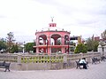
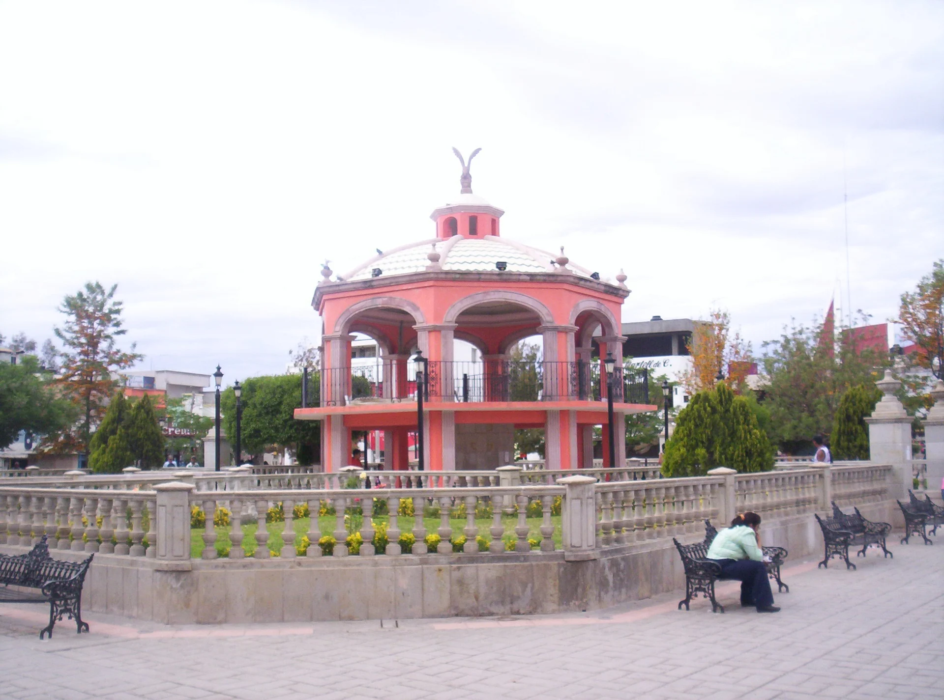
Downtown has the main plaza and its bandstand, the Alameda, the Santa Veracruz parish church and the station on the old Cañitas-Durango railway, listed as railway heritage. Two local dances, the Pardos or Matlachines and the Caballitos, are on Mexico's intangible heritage inventory. The dish to look for is reliquia, wedding-style asado served with pasta "sopas" and cooked over mesquite wood; the region also makes gorditas de horno, sweet flour panochas with cinnamon, and quince paste.
How to get to Río Grande
Río Grande lies on federal highway 49, the toll-free road that leaves the Fresnillo area heading north towards Cuencamé and Torreón. From Fresnillo it is 76 km by road, about 1 h by car; from Sombrerete, the nearest Pueblo Mágico, 96 km and about 1 h 30 min. Coming from Zacatecas city you go through Fresnillo first.
Without a car: the town has its own bus station, with departures to other states and even the United States, but we found no published timetables for buses between Fresnillo and Río Grande; ask at Fresnillo's Central de Autobuses on Calle Durango 402. Chihuahuenses buses run from Zacatecas's bus station to Fresnillo every 30 minutes.
Directions to Río Grande on Google Maps
Distances are in a straight line; the road is usually longer.
Links open a partner site. We may earn a commission if you book, at no cost to you.
From the nearest cities to Río Grande
- Fresnillo · about 95 km by road, ~1 h 25 min
- Zacatecas · about 165 km by road, ~2 h 25 min
- Durango · about 215 km by road, ~3 h 10 min
Drive times by road from OpenStreetMap, without traffic or stops. Times marked ~ are estimated from the straight-line distance.
Before you go to Río Grande: hours, prices and tips
- Best season
- Ten-day Carnival fair before Ash Wednesday; Santa Elena regional fair August 14-22, with the 18th dedicated to the patron saint. Wikipedia (es), Río Grande (Zacatecas) · checked Oct 2026
- Rules
- The US State Department advises against all travel to Zacatecas over crime. US State Department, Mexico travel advisory · checked Oct 2026
Hours and prices change, especially around holidays. Each fact links to where we checked it.
Visiting Río Grande: what to see and do
The main plaza and its bandstand
The Alameda
The Santa Veracruz parish church
The railway station, listed as railway heritage
The Archivo Histórico museum, with coins, banknotes and hacienda-era objects
The Juárez, Río Grande and Hidalgo markets
The ten-day Carnival fair leading up to Ash Wednesday
The former Pastelera hacienda, with its Catalan vault and carved stone altarpiece
The big house of the former El Fuerte hacienda
The hot-spring balnearios at Almoloya, Las Palomas and Las Esperanzas
El Cazadero dam on the Aguanaval
Plan your trip
Places to stay in Río Grande
Compare hotels, posadas, and rentals in and around Río Grande.
Tours & activities
Day trips around Sombrerete sometimes stop in Río Grande; a tour is the easy way to see it without a car.
Rental cars
Pick up a car at DGO (Durango): about 1 h 53 min by road to Sombrerete, then 65 km more to Río Grande, on your own schedule.
Flights
The nearest airport with scheduled flights is Durango (DGO), about 1 h 53 min by road from Sombrerete, the base for Río Grande.
Mobile data
Signal can drop away from Sombrerete: download a map of the way to Río Grande before you set out, or carry an eSIM with data.
Links open a partner site. We may earn a commission if you book, at no cost to you.
When to go to Río Grande cool
Río Grande shares the climate of Sombrerete, 65 km away. The best months to visit are February, March, April, and December.
See the month-by-month climate of Sombrerete
Weather in Río Grande now and the next 7 days
Live forecast from Open-Meteo. Chance of rain is the day's highest.
The closest Pueblo Mágico: Sombrerete

Sombrerete is the Pueblo Mágico closest to Río Grande, with places to stay, food, and more to see.
Closest to Río Grande
-
Nieves · Town · 19 km away
-
Sain Alto · Town · 35 km away
-
Cañitas de Felipe Pescador · Town · 40 km away
Near Río Grande



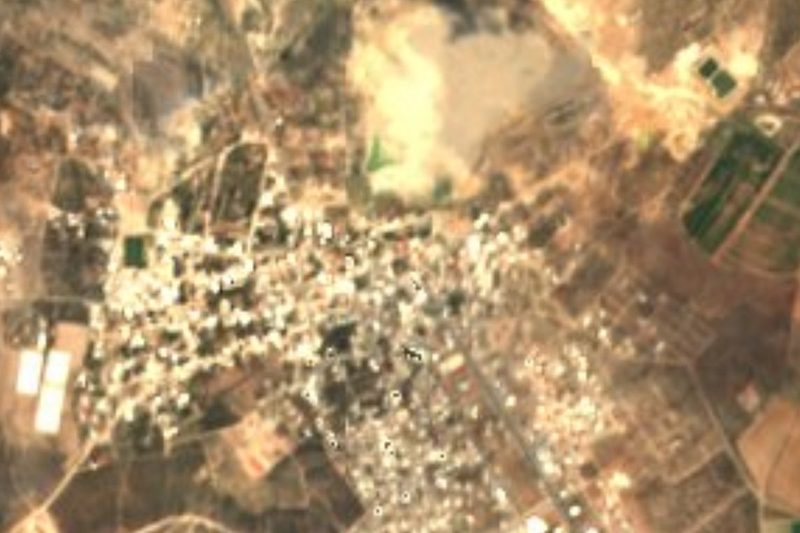
Drive times by road from OpenStreetMap, without traffic. Times marked ~ are estimated from the straight-line distance.
Location from OpenStreetMap. Written by Puebloteca.