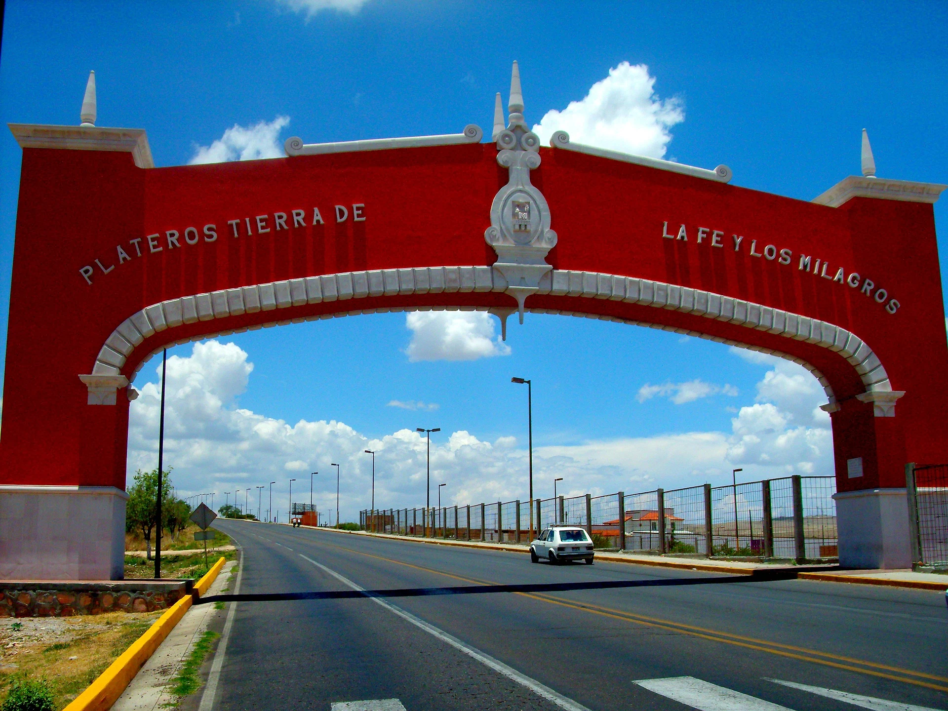
Town Fresnillo, Zacatecas
Mining town next to Fresnillo, home to the Sanctuary of the Santo Niño de Atocha, one of Mexico's most visited churches.
From Fresnillo: about 5 min by road (~10 km) How to get there ↓
Plan your visit to Plateros
Where to stay near Plateros
Compare hotels, posadas and guest houses in Plateros.
Tours to Plateros
Day trips around Guadalupe sometimes stop in Plateros; a tour is the easy way to see it without a car.
How to get to Plateros
- From Fresnillo: about 5 min by road (~10 km)
- Nearest airport: Zacatecas (ZCL), 34 min by car to Guadalupe
Links open a partner site. We may earn a commission if you book, at no cost to you.
About Plateros
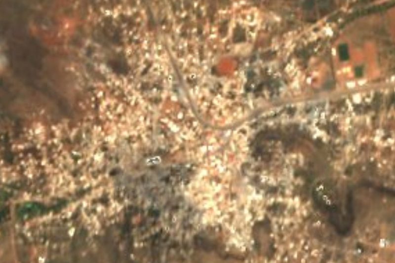
Plateros sits on rolling hills 2,175 metres up, just northeast of Fresnillo, and lives off its pilgrims. Its sanctuary holds the image of the Santo Niño de Atocha, a devotion born in the silver mines of Zacatecas that now draws about 1.5 million visitors a year, behind only the Basilica of Guadalupe and San Juan de los Lagos among Mexico's shrines.
The town began by mistake in 1566, when miners looking for the camp at Fresnillo lost their way, struck silver on Saint Demetrius's day and named the spot San Demetrio. By 1621 it was called Plateros, after the silver miners who settled it.
The present church was finished over two hundred years ago (keystones over some openings read 1790), a late folk baroque building whose side altarpieces were later replaced with neoclassical ones carved by José Rosas Montaño. Its facade honours the Señor de los Plateros, a heavy wooden Christ from the 16th century on a cross plated in silver in the 17th. The Child came as part of a Virgin of Atocha that a wealthy mine owner brought from Spain; over time the little figure took over the devotion, and the first accounts of his miracles date from 1829. In 1882 the bishop of Zacatecas ordered the Salón de Retablos built to hold the ex-voto paintings pilgrims leave in thanks, finished the next year: walls covered in small painted stories of accidents survived and illnesses cured.
The big feast is December 25; the older July 1 feast faded as the Child's grew. Huichol people come down from the sierra to sell their crafts to the crowds. About 6,000 people live here, and the streets around the sanctuary are lined with stalls selling candles and keepsakes.
How to get to Plateros
Plateros is 7 km from Fresnillo, about 10 minutes by car on the road heading northeast out of the city. From Zacatecas take federal highway 45 to Fresnillo (about 45 minutes), then on to Plateros; from Guadalupe, the nearest Pueblo Mágico, it is 73 km, around 1 h 5 min.
Without a car: Chihuahuenses buses leave Zacatecas's bus station for Fresnillo every 30 minutes (about 55 minutes, from 200 pesos in 2024) and arrive at Fresnillo's Central de Autobuses on Calle Durango 402. From Fresnillo the easiest way on is a taxi; book one by phone and note its plates and number.
Directions to Plateros on Google Maps
Distances are in a straight line; the road is usually longer.
Links open a partner site. We may earn a commission if you book, at no cost to you.
From the nearest cities to Plateros
- Fresnillo · about 10 km by road, ~5 min
- Zacatecas · about 75 km by road, ~1 h 5 min
- Aguascalientes · about 210 km by road, ~3 h 5 min
Drive times by road from OpenStreetMap, without traffic or stops. Times marked ~ are estimated from the straight-line distance.
Before you go to Plateros: hours, prices and tips
- Best season
- The Santo Niño's main feast is December 25; July 1 is also celebrated. Wikipedia (es), Santuario de Plateros · checked Oct 2026
- Rules
- The US State Department advises against all travel to Zacatecas over crime; in Fresnillo use taxis booked by phone. Wikivoyage, Fresnillo · checked Oct 2026
Hours and prices change, especially around holidays. Each fact links to where we checked it.
Visiting Plateros: what to see and do
The Sanctuary of the Santo Niño de Atocha and its image of the Child
The Señor de los Plateros, a 16th-century Christ on the high altar
The Salón de Retablos and its painted ex-votos
Huichol craft stalls outside the sanctuary
The Proaño silver mine in Fresnillo, 7 km away, which runs tours
Plan your trip
Places to stay in Plateros
Compare hotels, posadas, and rentals in and around Plateros.
Tours & activities
Day trips around Guadalupe sometimes stop in Plateros; a tour is the easy way to see it without a car.
Rental cars
Pick up a car at ZCL (Zacatecas): about 34 min by road to Guadalupe, then 63 km more to Plateros, on your own schedule.
Flights
The nearest airport with scheduled flights is Zacatecas (ZCL), about 34 min by road from Guadalupe, the base for Plateros.
Mobile data
Signal can drop away from Guadalupe: download a map of the way to Plateros before you set out, or carry an eSIM with data.
Links open a partner site. We may earn a commission if you book, at no cost to you.
When to go to Plateros cool
Plateros shares the climate of Guadalupe, 63 km away. The best months to visit are January, March, April, and December.
See the month-by-month climate of Guadalupe
Weather in Plateros now and the next 7 days
Live forecast from Open-Meteo. Chance of rain is the day's highest.
The closest Pueblo Mágico: Guadalupe

Guadalupe is the Pueblo Mágico closest to Plateros, with places to stay, food, and more to see.
Also close to
- Jerez · Zacatecas · 66 km away
Closest to Plateros
-
Santuario de Plateros · Landmark · 0 km away
-
Cañitas de Felipe Pescador · Town · 43 km away

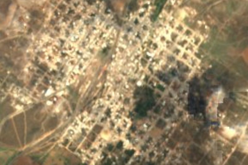
Near Plateros
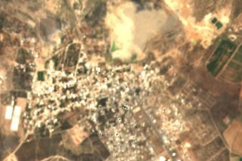




Drive times by road from OpenStreetMap, without traffic. Times marked ~ are estimated from the straight-line distance.
Location from OpenStreetMap. Written by Puebloteca.