Town Miguel Auza, Zacatecas
The old silver camp of San Miguel del Mezquital, 2,020 m up in the semi-desert of northwest Zacatecas, on the Durango line.
From Durango: about 2 h 25 min by road (~165 km) How to get there ↓
Plan your visit to Miguel Auza
Where to stay near Miguel Auza
Compare hotels, posadas and guest houses in Miguel Auza.
Tours to Miguel Auza
Day trips around Sombrerete sometimes stop in Miguel Auza; a tour is the easy way to see it without a car.
How to get to Miguel Auza
- From Durango: about 2 h 25 min by road (~165 km)
- Nearest airport: Durango (DGO), 1 h 53 min by car to Sombrerete
Links open a partner site. We may earn a commission if you book, at no cost to you.
About Miguel Auza
For nearly four hundred years this town was San Miguel del Mezquital, named for the mesquite trees on the plain. A decree of January 9, 1935 renamed it after General Miguel Auza Arrenechea, a Sombrerete native and veteran of the Reform War and the fight against the French.
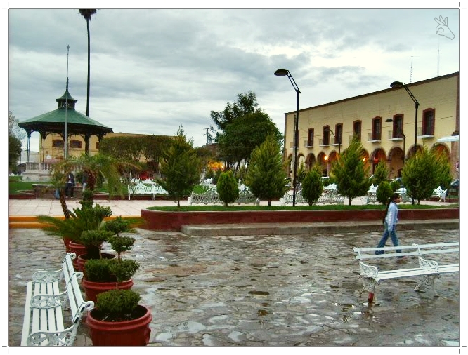
Francisco de Ibarra's expedition rode in on September 29, 1554, Saint Michael's day, and met a Zacateco village of some four hundred armed men; interpreters kept the peace. By the early 1600s it was listed as a mining camp, and in the late 19th century more than fifteen silver mines were worked around it. The Revolution hit hard: Orozco's rebels sacked the town in 1912 and burned the municipal archive. Around the main plaza stand the Portal Fernández, once the big house of the San Marcos hacienda, the Portal Aguilera and the parish church of San Miguel.
The town sits at 2,020 metres among prickly pear, mesquite, agave and creosote bush, with frosts and the odd snowfall in winter. Beans and cattle are the living here. Mennonite families arrived from Chihuahua and Durango in 1964 and now number 4,000 to 5,000 people on more than twenty farm camps around La Honda. The September 29 fair for Saint Michael brings home the townspeople who live up north, after nine days of processions from the Guadalupe shrine on the little hill down to the parish church. On May 3, with matlachín and pardo dancers, families hand out "reliquias", meals of asado, soup, rice and beans given to the town in thanks to a saint.
How to get to Miguel Auza
Miguel Auza is 1 h 55 min from Fresnillo, 147 km by road, and 2 h from Sombrerete, the nearest Pueblo Mágico, 95 km by road. From Fresnillo take toll-free federal highway 49 through Río Grande and Juan Aldama towards Cuencamé, Durango; Miguel Auza is the next municipality after Juan Aldama, right on the Durango line. The last stretch to the Santiago reservoir and La Boquilla is dirt track.
Public transport: we found no published bus timetable to Miguel Auza. Buses on the Zacatecas–Torreón corridor leave Fresnillo's Central de Autobuses on Calle Durango 402; ask at the ticket windows which departures stop in Miguel Auza or Juan Aldama.
Directions to Miguel Auza on Google Maps
Distances are in a straight line; the road is usually longer.
Links open a partner site. We may earn a commission if you book, at no cost to you.
From the nearest cities to Miguel Auza
- Durango · about 165 km by road, ~2 h 25 min
- Torreón · about 180 km by road, ~2 h 40 min
- Fresnillo · about 180 km by road, ~2 h 40 min
Drive times by road from OpenStreetMap, without traffic or stops. Times marked ~ are estimated from the straight-line distance.
Before you go to Miguel Auza: hours, prices and tips
- Best season
- Saint Michael's fair on September 29, preceded by nine days of processions; Virgin of Guadalupe feast on December 12; matlachín and pardo dances on May 3. INAFED, Enciclopedia de los Municipios de México: Miguel Auza · checked Oct 2026
Hours and prices change, especially around holidays. Each fact links to where we checked it.
Visiting Miguel Auza: what to see and do
The main plaza with its bandstand, the Portal Fernández and the Portal Aguilera
The parish church of San Miguel Arcángel
The Guadalupe shrine on the little hill, where the September processions start
The Santiago reservoir, 6 km out on a dirt road, fished for tilapia and carp
Ojo Caliente hot springs, 13 km out on the road to 20 de Noviembre
The Sierra de Santa María, the municipality's high point at about 2,554 m, on the Durango line
The Mennonite farm camps around La Honda
Plan your trip
Places to stay in Miguel Auza
Compare hotels, posadas, and rentals in and around Miguel Auza.
Tours & activities
Day trips around Sombrerete sometimes stop in Miguel Auza; a tour is the easy way to see it without a car.
Rental cars
Pick up a car at DGO (Durango): about 1 h 53 min by road to Sombrerete, then 76 km more to Miguel Auza, on your own schedule.
Flights
The nearest airport with scheduled flights is Durango (DGO), about 1 h 53 min by road from Sombrerete, the base for Miguel Auza.
Mobile data
Signal can drop away from Sombrerete: download a map of the way to Miguel Auza before you set out, or carry an eSIM with data.
Links open a partner site. We may earn a commission if you book, at no cost to you.
When to go to Miguel Auza cool
Miguel Auza shares the climate of Sombrerete, 76 km away. The best months to visit are February, March, April, and December.
See the month-by-month climate of Sombrerete
Weather in Miguel Auza now and the next 7 days
Live forecast from Open-Meteo. Chance of rain is the day's highest.
The closest Pueblo Mágico: Sombrerete

Sombrerete is the Pueblo Mágico closest to Miguel Auza, with places to stay, food, and more to see.
Closest to Miguel Auza
-
Juan Aldama · Town · 6 km away

Near Miguel Auza


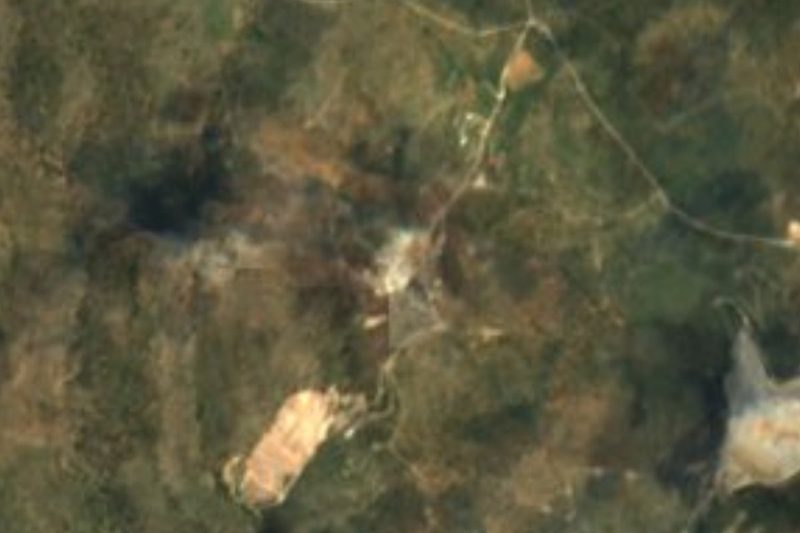

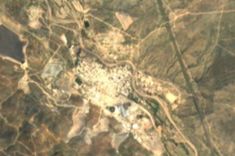
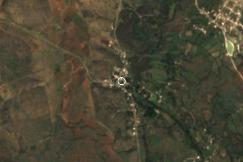


Drive times by road from OpenStreetMap, without traffic. Times marked ~ are estimated from the straight-line distance.
Location from OpenStreetMap. Written by Puebloteca.