Village Cuencamé, Durango
Semi-desert mining village in Cuencamé: the 1907 Terneras mine fire, the old ASARCO smelter and a zinc plant that reopened in 2013.
From Torreón: about 1 h 10 min by road (~80 km) How to get there ↓
Plan your visit to Velardeña
Where to stay near Velardeña
Compare hotels, posadas and guest houses in Velardeña.
Tours to Velardeña
Day trips and guided outings from Mapimí often include Velardeña; with a local guide you can get there without a car.
How to get to Velardeña
- From Torreón: about 1 h 10 min by road (~80 km)
- Nearest airport: Torreón (TRC), 1 h 16 min by car to Mapimí
Links open a partner site. We may earn a commission if you book, at no cost to you.
About Velardeña
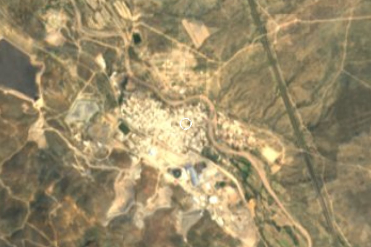
Velardeña is a mining village of 2,923 people (2020 census) in Cuencamé municipality, about 80 km from Gómez Palacio. It spreads along the Arroyo Cuencamé, with the Sierra de San Lorenzo behind it and mesquite scrub all around. Everything here revolves around the ore in the hills: the mine sits a kilometre north of the houses, and next to town lie the waste heaps of the old ASARCO smelter.
The date people remember is 9 May 1907, when the Terneras mine caught fire. Ninety-nine workers died; the blaze is thought to have started from a torch or candle used for light, and the deposit kept burning for about a month. A nearly 10-metre obelisk in the municipal cemetery honours them, and for the centenary in 2007 a statue of a miner went up on the median of Calzada Centenario.
The last century brought booms and busts. When Grupo México shut down its operation, many young people left for other regions or the United States, and residents described the place as a ghost town. Peñoles revived the mine and opened a zinc plant of roughly US$230 million in 2013. Since then streets have been paved with stamped concrete, a footbridge crosses the arroyo, sports courts have roofs, the baseball field moved out toward the highway, and the church, the plaza and a small museum have been renovated. On 11 July, Miners' Day, there are processions, a dance and a shared meal.
How to get to Velardeña
By car from Torreón, cross into Gómez Palacio and take the 40D toll highway toward Durango and Cuencamé; Velardeña lies north of the municipal seat, about 20 km away in a straight line. It is 91 km by road, about 1 h 10 min from Torreón. From Mapimí, the nearest Pueblo Mágico, it is 139 km, about 1 h 55 min.
Without a car: we found no bus line with a published timetable into Velardeña. The practical option is the Valle del Guadiana stopping service between Durango and La Laguna to Cuencamé (it leaves from Durango's Central de Autobuses), then a taxi.
Directions to Velardeña on Google Maps
Distances are in a straight line; the road is usually longer.
Links open a partner site. We may earn a commission if you book, at no cost to you.
From the nearest cities to Velardeña
- Torreón · about 80 km by road, ~1 h 10 min
- Durango · about 195 km by road, ~2 h 50 min
- Fresnillo · about 295 km by road, ~4 h 20 min
Drive times by road from OpenStreetMap, without traffic or stops. Times marked ~ are estimated from the straight-line distance.
Before you go to Velardeña: hours, prices and tips
- Best season
- Miners' Day, 11 July: processions, a dance and a community meal. El Siglo de Torreón · checked Oct 2026
- Rules
- Stay off the smelter waste heaps: they are toxic industrial waste. Wikimedia Commons (descripción del fotógrafo) · checked Oct 2026
Hours and prices change, especially around holidays. Each fact links to where we checked it.
Visiting Velardeña: what to see and do
The nearly 10-metre obelisk to the 99 miners of 1907, in the municipal cemetery
The miner statue on Calzada Centenario
The renovated church and main plaza
The Arroyo Cuencamé and the view of the Sierra de San Lorenzo
From outside, the waste heaps of the old ASARCO smelter
Plan your trip
Places to stay in Velardeña
Compare hotels, posadas, and rentals in and around Velardeña.
Tours & activities
Day trips and guided outings from Mapimí often include Velardeña; with a local guide you can get there without a car.
Rental cars
Pick up a car at TRC (Torreón): about 1 h 16 min by road to Mapimí, then 86 km more to Velardeña, on your own schedule.
Flights
The nearest airport with scheduled flights is Torreón (TRC), about 1 h 16 min by road from Mapimí, the base for Velardeña.
Mobile data
Signal can drop away from Mapimí: download a map of the way to Velardeña before you set out, or carry an eSIM with data.
Links open a partner site. We may earn a commission if you book, at no cost to you.
When to go to Velardeña mild
Velardeña shares the climate of Mapimí, 86 km away. The best months to visit are January, March, April, and December.
See the month-by-month climate of Mapimí
Weather in Velardeña now and the next 7 days
Live forecast from Open-Meteo. Chance of rain is the day's highest.
The closest Pueblo Mágico: Mapimí

Mapimí is the Pueblo Mágico closest to Velardeña, with places to stay, food, and more to see.
Closest to Velardeña
-
Cuencamé · Town · 22 km away
-
Presa Francisco Zarco · Lake · 23 km away


Near Velardeña


Drive times by road from OpenStreetMap, without traffic. Times marked ~ are estimated from the straight-line distance.
Location from OpenStreetMap. Written by Puebloteca.