Town Matamoros, Coahuila La Laguna
Cotton and brick-making town just east of Torreón, home to the Cueva del Tabaco, where Juárez's national archive was hidden in 1864.
From Torreón: about 20 min by road (~25 km) How to get there ↓
Near here
See everything nearby ↓


Plan your visit to Matamoros
Where to stay near Matamoros
Compare hotels, posadas and guest houses in Matamoros.
Tours to Matamoros
Day trips around Viesca sometimes stop in Matamoros; a tour is the easy way to see it without a car.
How to get to Matamoros
- From Torreón: about 20 min by road (~25 km)
- Nearest airport: Torreón (TRC), 1 h 24 min by car to Viesca
Links open a partner site. We may earn a commission if you book, at no cost to you.
About Matamoros
Matamoros sits right against Torreón's eastern edge and belongs to the La Laguna metro area along with Torreón, Gómez Palacio and Lerdo. It is the seat of a municipality of roughly 118,000 people, about 60,000 of them in the city itself, at around 1,110 m in the Laguna desert. The name honours Mariano Matamoros, the independence-war leader.
The town grew out of the flood meadows of the Nazas River. Around 1839 settlers moved onto the Vega de Marrufo, land of the Marquisate of Aguayo, and floods pushed them to higher ground; the municipal coat of arms gives 1842 as the founding year, when the neighbouring San Juan Nepomuceno ranch, wrecked in an Apache raid, was rebuilt with help from the people of San José de Matamoros. In September 1864, with the French in Mexico, Benito Juárez came through on his way north to Chihuahua, made the settlement a villa and granted house lots to its farmers. During that stay Juan de la Cruz Borrego of El Gatuño (now Congregación Hidalgo) and a group of muleteers hid the wagons carrying the national archive in a bat cave that has been called the Cueva del Tabaco ever since. The guardians kept the papers safe for three years. The public clock of 1927 marks the decree that made Matamoros a city.
Farming carried the place for a century: cotton first, then wheat, maize, fodder and dairy cattle, with watermelon, melon and grapes also on the coat of arms. North of town, brickworks dating from the early 1900s fire a prized local clay, and mesquite from the scrub supplies the firewood and charcoal used by the bakeries. In 2023 more than a hundred Cretaceous marine fossils, including ammonites about 94 million years old, were recorded at Puerto del Perico; the municipal museum displays them.
Expect dry heat: highs sit around 35 °C from May to August, and most of the under-200 mm of yearly rain falls from July to September. December and January nights drop to 7 or 8 °C.
How to get to Matamoros
From Torreón, head east on Federal Highway 40, the road to Saltillo; Matamoros practically touches the edge of the city, about 30 minutes and 20 km by road from central Torreón on paved highway. Highway 40 also links to Federal 30 for San Pedro de las Colonias and Cuatro Ciénegas. Torreón's international airport and the Central de Autobuses de Torreón, served by bus lines from across Mexico, are about half an hour away.
By public transport, the Torreón-Matamoros-Viesca buses, known locally as Los Rojos, leave from Torreón and run on to Congregación Hidalgo; in July 2022 the Torreón-Matamoros fare rose to 25 pesos (13 reduced) and to Congregación to 44.
The Cueva del Tabaco lies out of town on the ejido lands of Congregación Hidalgo, the old El Gatuño; from the village, go on by car or taxi. The nearest Pueblo Mágico is Viesca, 1 hour and 54 km east by road.
Directions to Matamoros on Google Maps
Distances are in a straight line; the road is usually longer.
Links open a partner site. We may earn a commission if you book, at no cost to you.
From the nearest cities to Matamoros
- Torreón · about 25 km by road, ~20 min
- Durango · about 285 km by road, ~4 h 15 min
- Saltillo · about 295 km by road, ~4 h 20 min
Drive times by road from OpenStreetMap, without traffic or stops. Times marked ~ are estimated from the straight-line distance.
Before you go to Matamoros: hours, prices and tips
- Best time of day
- October to April, when highs stay below about 30 °C; from May to September they top 32 °C. Wikipedia, Matamoros (Coahuila), normales del SMN 2007-2024 · checked Oct 2026
- Best season
- 21 March: Juárez's birthday, marked at the Cueva del Tabaco. 27 February: city anniversary. 4 July: feast and fair of the Virgen del Refugio, the patron saint. September: Independence fair. Gobierno de Coahuila, ficha municipal de Matamoros · checked Oct 2026
Hours and prices change, especially around holidays. Each fact links to where we checked it.
Visiting Matamoros: what to see and do
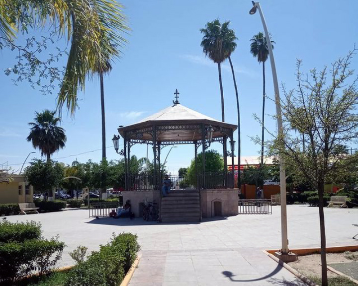
The main plaza with its bandstand and the town hall esplanade, used for dances and concerts
The 19th-century parish church of Nuestra Señora del Refugio
The public clock of 1927
The Cueva del Tabaco and its monument, at Congregación Hidalgo
The Congregación Hidalgo museum and the Juárez monument holding the ashes of the archive's guardians
The General Jesús González Herrera municipal museum, with the Puerto del Perico fossils
The brickworks on the north side of town
The sluice gates of the Victoria dam
The Wet Laguna water park
Plan your trip
Places to stay in Matamoros
Compare hotels, posadas, and rentals in and around Matamoros.
Tours & activities
Day trips around Viesca sometimes stop in Matamoros; a tour is the easy way to see it without a car.
Rental cars
Pick up a car at TRC (Torreón): about 1 h 24 min by road to Viesca, then 47 km more to Matamoros, on your own schedule.
Flights
The nearest airport with scheduled flights is Torreón (TRC), about 1 h 24 min by road from Viesca, the base for Matamoros.
Mobile data
Signal can drop away from Viesca: download a map of the way to Matamoros before you set out, or carry an eSIM with data.
Links open a partner site. We may earn a commission if you book, at no cost to you.
When to go to Matamoros warm
Matamoros shares the climate of Viesca, 47 km away. The best months to visit are January, February, March, and December.
See the month-by-month climate of Viesca
Weather in Matamoros now and the next 7 days
Live forecast from Open-Meteo. Chance of rain is the day's highest.
The closest Pueblo Mágico: Viesca

Viesca is the Pueblo Mágico closest to Matamoros, with places to stay, food, and more to see.
Also close to
- Mapimí · Durango · 70 km away
Closest to Matamoros
-
Santa Ana de los Hornos · Landmark · 34 km away
-
Dunas de Bilbao · Nature reserve · 36 km away
-
San Pedro de las Colonias · Town · 36 km away
Near Matamoros


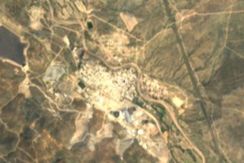

Drive times by road from OpenStreetMap, without traffic. Times marked ~ are estimated from the straight-line distance.
Location from OpenStreetMap. Written by Puebloteca.