Beach Zihuatanejo de Azueta, Guerrero Municipality of Zihuatanejo de Azueta Costa Grande of Guerrero
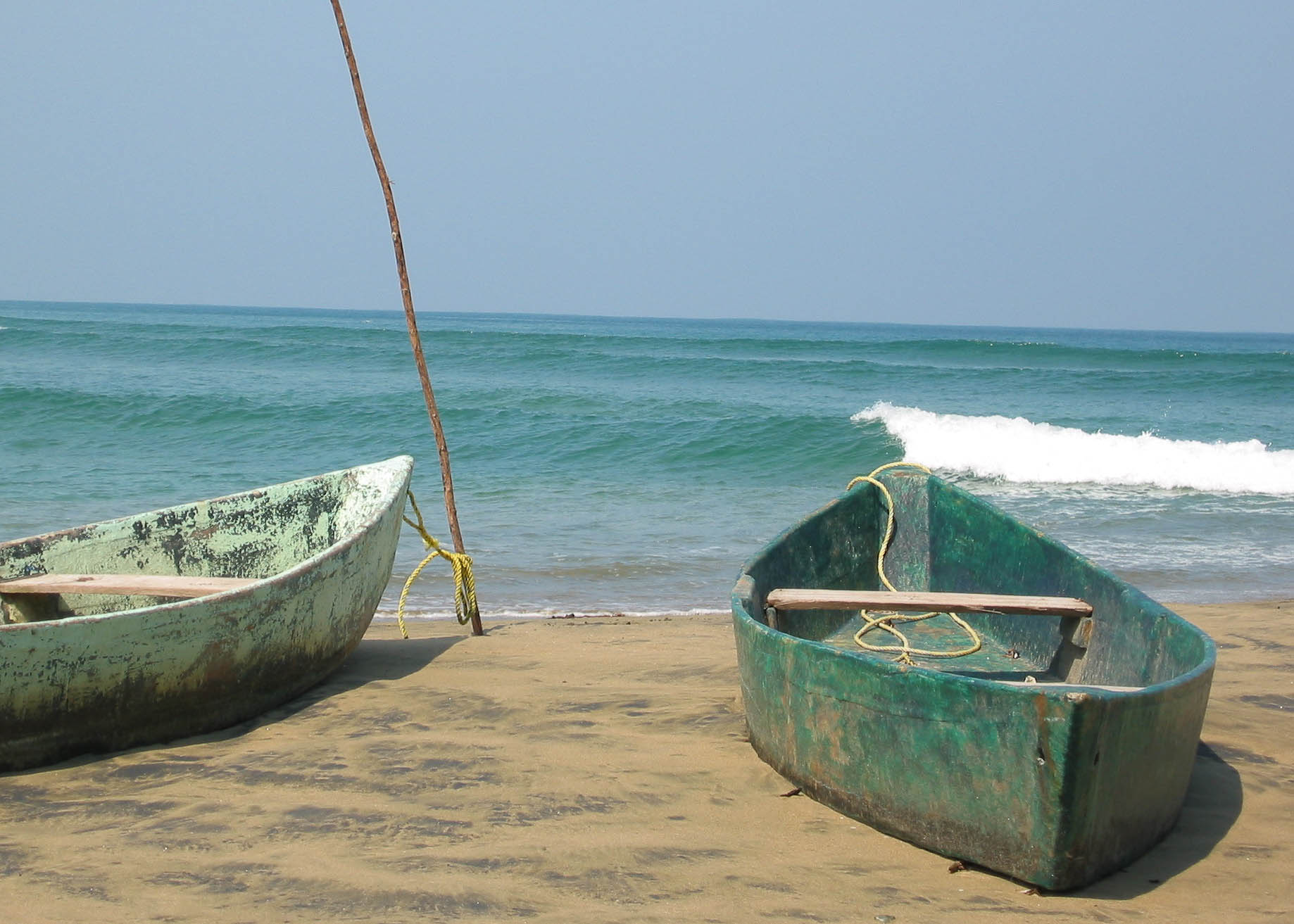
Southern half of the long Bahía de Potosí beach by Zihuatanejo airport: open surf, palm-roofed seafood shacks and the Barra de Potosí lagoon at its end.
From Zihuatanejo: about 15 min by road (~15 km) How to get there ↓
Near here
See everything nearby ↓


Plan your visit to Playa Blanca
Where to stay near Playa Blanca
Compare hotels, posadas and guest houses in Playa Blanca.
Tours to Playa Blanca
Day trips and guided outings from Zihuatanejo often include Playa Blanca; with a local guide you can get there without a car.
 Turtle Release Playa Blanca
★ 4.8 (52) · From US$90
How to get to Playa Blanca
- From Zihuatanejo: about 15 min by road (~15 km)
- Nearest airport: Zihuatanejo (ZIH), 12 min by car to Zihuatanejo
Links open a partner site. We may earn a commission if you book, at no cost to you.
Popular tours to Playa Blanca
Tours, prices and ratings from Viator, checked weekly. We may earn a commission if you book.
About Playa Blanca
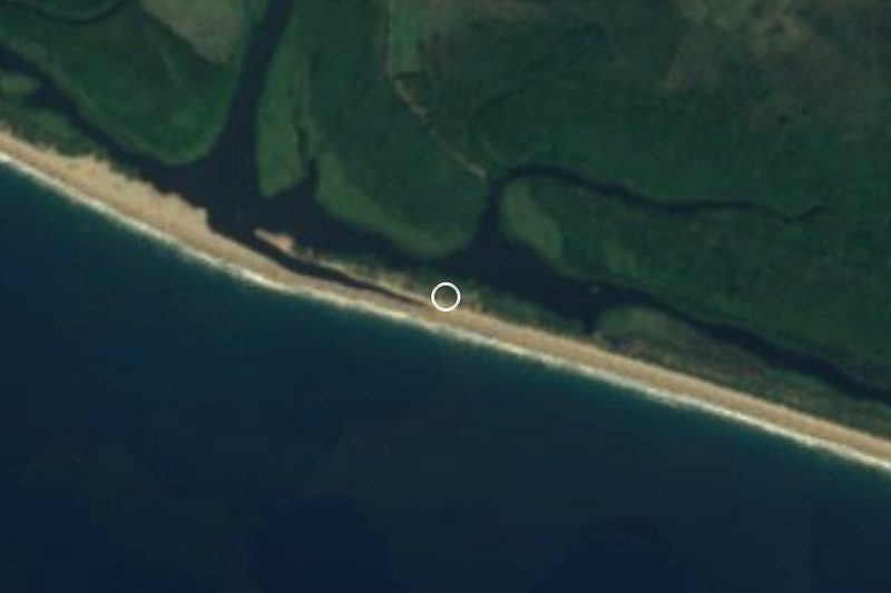
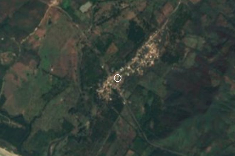
Playa Blanca is the southern half of the very long sweep of sand around Bahía de Potosí, southeast of Zihuatanejo: 13.2 kilometres of unbroken shore whose northern half is called Playa Larga and whose southern tip ends at Barra de Potosí. The Playa Blanca stretch sits right beside Ixtapa-Zihuatanejo International Airport, about five minutes' drive from the terminal, and it also gives its name to a small locality of Zihuatanejo de Azueta municipality, the cluster of homes and villas that has grown up behind the beach.
This is an open-ocean beach, long and rarely crowded, lined with private houses and holiday rentals and a few enramadas, the palm-roofed seafood restaurants where you eat fish and nap in a hammock. Waves can be big, and every beach facing the open Pacific around here can have dangerous waves and strong undertow; for easy swimming, Zihuatanejo's sheltered bay or the coves of Isla Ixtapa are the better bet. Here the point is to walk for miles along the waterline and stay for the sunset.
At the southern end lies Barra de Potosí, a fishing village beside a large lagoon where boat tours are cheap. Endangered white pelicans, roseate spoonbills and great blue herons can still be seen on the lagoon, and the Cerro de Guamilule viewpoint is close by. Further north in the same bay rise the Morros de Potosí, rocky islets whitened by seabird guano.
There are almost no shops nearby, so bring water, food and whatever else you need for the day. Most visitors stay in Zihuatanejo or Ixtapa and come out by car or taxi.
How to get to Playa Blanca
Playa Blanca is a 20-minute drive from Zihuatanejo, 19 km by road: take federal highway 200 towards Acapulco and, just before the airport entrance, turn right onto the paved road down to the beach. Barra de Potosí, at the southern end, can be reached along the same coast road or from the mostly paved turn-off at Los Achotes, also on highway 200.
No public transport runs to the beach itself. Shared vans (urvans) leave central Zihuatanejo for the airport (21 pesos) and Los Achotes (28 pesos); a taxi from the centre to the airport costs about 250 pesos, and there is no official fare to Barra de Potosí, so agree the price before you get in. Local taxis cannot pick up passengers on airport grounds.
From Mexico City, buses leave the Terminal del Sur (Taxqueña) for Zihuatanejo's bus station with Estrella de Oro, Costa Line and Senda, taking about 10 to 11 hours; by car it is about 620 km via Toluca, Morelia and Uruapan. Aeroméxico, Viva Aerobus and Volaris fly to Zihuatanejo's airport, a few minutes from the beach. The US State Department advises against all travel to Guerrero; travel by day and ask about local conditions before you go.
Directions to Playa Blanca on Google Maps
Distances are in a straight line; the road is usually longer.
Links open a partner site. We may earn a commission if you book, at no cost to you.
From the nearest cities to Playa Blanca
- Zihuatanejo · about 15 km by road, ~15 min
- Lázaro Cárdenas · about 115 km by road, ~1 h 45 min
- Acapulco · about 240 km by road, ~3 h 30 min
Drive times by road from OpenStreetMap, without traffic or stops. Times marked ~ are estimated from the straight-line distance.
Before you go to Playa Blanca: hours, prices and tips
- What to bring
- There are almost no shops nearby: bring water, food and what you need for the day. Beach Atlas · checked Oct 2026
- Rules
- Open ocean: there can be dangerous waves and strong undertow; Zihuatanejo's bay or Isla Ixtapa are safer for swimming. Zihuatanejo.net · checked Oct 2026
Hours and prices change, especially around holidays. Each fact links to where we checked it.
Visiting Playa Blanca: what to see and do
A long walk along the Bahía de Potosí shoreline, from Playa Blanca towards Playa Larga or the lagoon mouth.
Sunsets over the open Pacific.
Fresh fish at an enramada with hammocks.
Barra de Potosí and its lagoon, with boat trips among white pelicans, roseate spoonbills and herons.
The Cerro de Guamilule viewpoint near the lagoon.
The Morros de Potosí, guano-covered rock islets in the same bay.
Plan your trip
Places to stay in Playa Blanca
Compare hotels, posadas, and rentals in and around Playa Blanca.
Tours & activities
Day trips and guided outings from Zihuatanejo often include Playa Blanca; with a local guide you can get there without a car.
Rental cars
Pick up a car at ZIH (Zihuatanejo): about 12 min by road to Zihuatanejo, then 13 km more to Playa Blanca, on your own schedule.
Flights
The nearest airport with scheduled flights is Zihuatanejo (ZIH), about 12 min by road from Zihuatanejo, the base for Playa Blanca.
Travel insurance
If you plan on swimming or surfing at Playa Blanca, check that your policy covers it: some plans leave adventure activities out.
Mobile data
Signal can drop away from Zihuatanejo: download a map of the way to Playa Blanca before you set out, or carry an eSIM with data.
Links open a partner site. We may earn a commission if you book, at no cost to you.
When to go to Playa Blanca warm
Playa Blanca shares the climate of Zihuatanejo, 13 km away. The best months to visit are January, February, March, and April.
Playa Blanca is best for swimming and time on the water in the warmest months (May, July, and August); in the rainiest ones (August, September, and October) expect storms in the afternoon.
See the month-by-month climate of Zihuatanejo
Weather in Playa Blanca now and the next 7 days
Live forecast from Open-Meteo. Chance of rain is the day's highest.
The closest Pueblo Mágico: Zihuatanejo

Zihuatanejo is the Pueblo Mágico closest to Playa Blanca, with places to stay, food, and more to see.
Closest to Playa Blanca
-
Barra de Potosí · Town · 4 km away
-
Laguna de Potosí · Lagoon · 6 km away
-
Playa Larga · Beach · 7 km away
-
Playa La Ropa · Beach · 11 km away
-
Playa La Madera · Beach · 12 km away
-
Playa Las Gatas · Beach · 12 km away
-
Museo Arqueológico de la Costa Grande · Landmark · 13 km away
-
Playa Contramar · Beach · 13 km away


Near Playa Blanca





Drive times by road from OpenStreetMap, without traffic. Times marked ~ are estimated from the straight-line distance.
Lists with Playa Blanca
Beaches in Guerrero · 19 Beaches near Zihuatanejo · 12Location from OpenStreetMap. Written by Puebloteca.