Archaeological site Petatlán, Guerrero Municipality of Petatlán Costa Grande of Guerrero
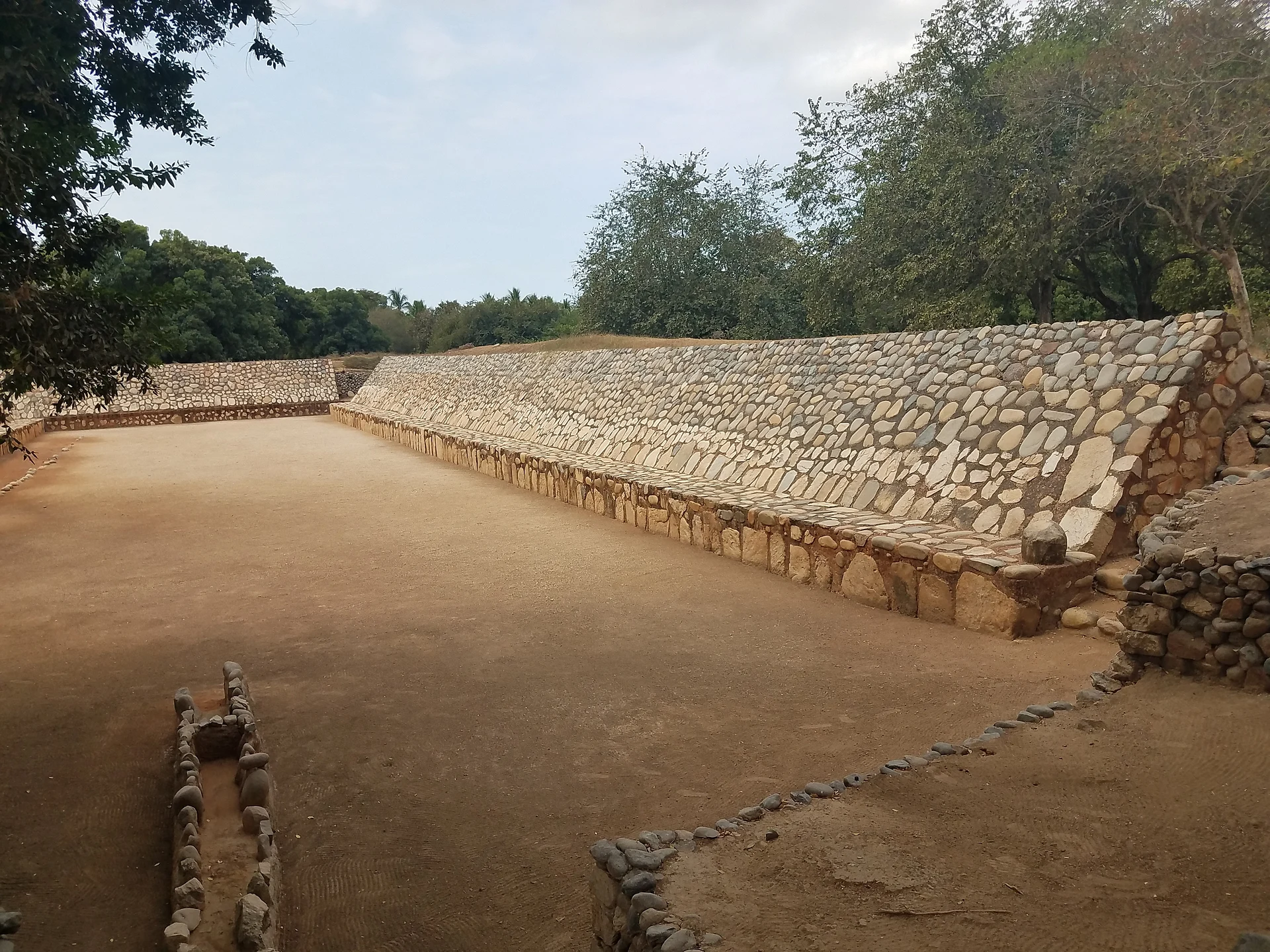
Xihuacan, the great ceremonial centre of the Costa Grande, with a 160 m ball court and an INAH site museum. Free entry, Tuesday to Sunday.
From Zihuatanejo: about 30 min by road (~35 km) How to get there ↓
Near here
See everything nearby ↓


Plan your visit to Soledad de Maciel (La Chole)
Where to stay near Soledad de Maciel (La Chole)
Compare hotels, posadas and guest houses in Soledad de Maciel (La Chole).
Tours to Soledad de Maciel (La Chole)
A guide brings Soledad de Maciel (La Chole) to life: look for tours from Zihuatanejo that include the site and the ride there.
 Tours from Zihuatanejo
Private Ixtapa and Zihuatanejo City Tour
★ 5.0 (153) · From US$56
How to get to Soledad de Maciel (La Chole)
- From Zihuatanejo: about 30 min by road (~35 km)
- Nearest airport: Zihuatanejo (ZIH), 12 min by car to Zihuatanejo
Links open a partner site. We may earn a commission if you book, at no cost to you.
Tours from Zihuatanejo, near Soledad de Maciel (La Chole)


Tours, prices and ratings from Viator, checked weekly. We may earn a commission if you book.
About Soledad de Maciel (La Chole)
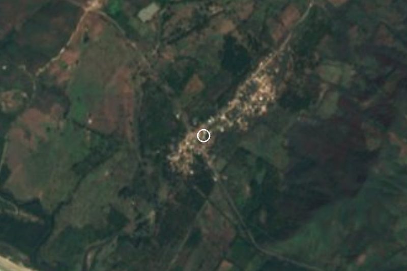
La Soledad de Maciel, a village of about 400 people in the municipality of Petatlán known locally as La Chole, sits on the remains of Xihuacan, the main ceremonial centre of Guerrero's coastal plain. The Nahuatl name means "place of the owners of turquoise", and by extension "the owners of time", the people who kept the calendar. The site was lived in for some three thousand years, from the Preclassic to the Early Postclassic, and peaked in the Epiclassic (650-950 AD), when it was the largest town between Acapulco and Zacatula. Around 1350 a great flood swamped the complex and its people drifted to higher ground.
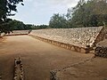
The headline is the ball court, 160 by 29 metres; part of it is still unexcavated, so it may be the largest in Mesoamerica. It was sunk below the level of the plazas to stand for the underworld the Sun crossed at night, and digs turned up offerings, human bones and ceramic figures, many of them jaguars. One of its blocks carries the glyph that spells the city's name. Mound B, about 14 metres high with nine sloping tiers, had temples on top and was used for water rites, the New Fire ceremony and sky-watching; the whole ceremonial centre was laid out by Venus, the Sun and the North Star. The pyramids are built of river stone and adobe, unusual in Mexico, and man-made channels fed by the San Jeronimito river still run between them. Cerro de los Brujos, the oldest part, has rock carvings.
The site museum, built between 2007 and 2010, shows the round stone with the Xihuacan glyph found beside the ball court, plus figurines, vessels, shellwork, copper axes and necklaces, with an ethnobotanical garden next door. The bas-relief stela known as the King of La Chole, found in 1944, still stands by the village church. In 2021 the family of a Petatlán schoolteacher handed INAH 969 pieces he had gathered in the 1950s and 60s, mostly from villages around Xihuacan.
How to get to Soledad de Maciel (La Chole)
The site is 25 minutes from Zihuatanejo, 32 km by road. Head southeast on federal highway 200 towards Petatlán and Acapulco; a few kilometres before Petatlán, the road to La Soledad de Maciel turns off, and the museum and ruins are about 3 km from the junction. From Mexico City, buses to Zihuatanejo leave the Terminal del Sur (Taxqueña), including Estrella de Oro and Costa Line, taking about 10 to 11 hours. In Zihuatanejo, several bus lines and urvans leave the centre for Petatlán every hour (about 52 pesos); ask to be dropped at the Soledad de Maciel turn-off and take a local taxi from there. A taxi or a tour from Zihuatanejo or Ixtapa also works. The US State Department advises against all travel to Guerrero; travel by day and ask about local conditions before you go.
Directions to Soledad de Maciel (La Chole) on Google Maps
Distances are in a straight line; the road is usually longer.
Links open a partner site. We may earn a commission if you book, at no cost to you.
From the nearest cities to Soledad de Maciel (La Chole)
- Zihuatanejo · about 35 km by road, ~30 min
- Lázaro Cárdenas · about 135 km by road, ~2 h
- Acapulco · about 220 km by road, ~3 h 15 min
Drive times by road from OpenStreetMap, without traffic or stops. Times marked ~ are estimated from the straight-line distance.
Before you go to Soledad de Maciel (La Chole): hours, prices and tips
- Hours
- Tuesday to Sunday, 9:00 to 17:00; last entry at 16:00. INAH · checked Oct 2026
- Entry
- Free entry. INAH · checked Oct 2026
- Guide or tour
- There is an information desk, toilets and guided tours. Tours: Viator GetYourGuide INAH · checked Oct 2026
- Rules
- No smoking, food, pets or flash; professional cameras pay an extra fee. INAH · checked Oct 2026
Hours and prices change, especially around holidays. Each fact links to where we checked it.
Visiting Soledad de Maciel (La Chole): what to see and do
The 160-metre ball court, possibly the largest in Mesoamerica.
The glyph spelling Xihuacan carved into one of the ball court's blocks.
Mound B, the nine-tier pyramid of river stone and adobe.
The pre-Hispanic channels that still carry water from the San Jeronimito river.
The rock carvings on Cerro de los Brujos.
The site museum, with the round Xihuacan glyph stone, figurines and copper axes.
The ethnobotanical garden beside the museum.
The King of La Chole stela by the village church.
Plan your trip
Places to stay in Soledad de Maciel (La Chole)
Compare hotels, posadas, and rentals in and around Soledad de Maciel (La Chole).
Tours & activities
A guide brings Soledad de Maciel (La Chole) to life: look for tours from Zihuatanejo that include the site and the ride there.
Rental cars
Pick up a car at ZIH (Zihuatanejo): about 12 min by road to Zihuatanejo, then 27 km more to Soledad de Maciel (La Chole), on your own schedule.
Flights
The nearest airport with scheduled flights is Zihuatanejo (ZIH), about 12 min by road from Zihuatanejo, the base for Soledad de Maciel (La Chole).
Mobile data
Signal can drop away from Zihuatanejo: download a map of the way to Soledad de Maciel (La Chole) before you set out, or carry an eSIM with data.
Links open a partner site. We may earn a commission if you book, at no cost to you.
When to go to Soledad de Maciel (La Chole) warm
Soledad de Maciel (La Chole) shares the climate of Zihuatanejo, 27 km away. The best months to visit are January, February, March, and April.
See the month-by-month climate of Zihuatanejo
Weather in Soledad de Maciel (La Chole) now and the next 7 days
Live forecast from Open-Meteo. Chance of rain is the day's highest.
The closest Pueblo Mágico: Zihuatanejo

Zihuatanejo is the Pueblo Mágico closest to Soledad de Maciel (La Chole), with places to stay, food, and more to see.
Closest to Soledad de Maciel (La Chole)
-
Xihuacan · Archaeological site · 2 km away
-
Playa Valentín · Beach · 5 km away
-
Petatlán · Town · 6 km away
-
Barra de Potosí · Town · 12 km away
-
Laguna de Potosí · Lagoon · 13 km away
-
Juluchuca · Village · 14 km away
-
Playa Blanca · Beach · 14 km away
-
Playa Larga · Beach · 20 km away


Near Soledad de Maciel (La Chole)
-
Playa Las Gatas · Beach · Guerrero
~40 min: drive to Muelle Municipal, Zihuatanejo, then 10 min by boat


Drive times by road from OpenStreetMap, without traffic. Times marked ~ are estimated from the straight-line distance.
Lists with Soledad de Maciel (La Chole)
Ruins in Guerrero · 8Location from OpenStreetMap. Written by Puebloteca.