
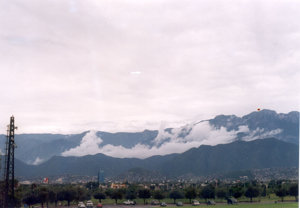
5 mountains · within 60 km
There are 5 mountains within 60 km of Monterrey in a straight line, an hour or a little more by road. The closest is Cerro del Chupón, 8 km away; the farthest, Bosques de Monterreal, is 51 km. They are all listed under Arteaga, a Pueblo Mágico that makes a good base.
Start early: summits are usually clearest in the morning, and rainy-season afternoons bring clouds and storms. Nights get cold at altitude.
Best months, when most of these towns are dry with comfortable afternoons: Jan, Feb, Mar, Dec.
The Mountains 5
-
Cerro del Chupón · Mountain · 8 km from Monterrey · Nuevo León
A pacifier-shaped peak on Monterrey's southern edge: a steep half-day hike from Colonia Villa Sol to a 360° view of the city and the Sierra Madre. -
Cerro de la Silla · Mountain · 10 km from Monterrey · Nuevo León
Monterrey's saddle-shaped emblem, a 1,820-meter natural monument with trails past an abandoned 1961 cable car to Pico Norte and the antenna peak. -
Cerro de las Mitras · Mountain · 13 km from Monterrey · Nuevo León
The 21 km saw-toothed ridge on Monterrey's western skyline, topping out at about 2,060 m, with old silver mines, climbing peaks and a famous full traverse. -
Cerro Agujerado · Mountain · 23 km from Monterrey · Nuevo León
A mountain with a great hole in its flank, south of Monterrey: a mostly level river hike with wading and small waterfalls. -
Bosques de Monterreal · Mountain · 51 km from Monterrey · Near Arteaga
A mountain resort in the high Sierra de Arteaga with Mexico's year-round artificial ski slope, cabins, and pine-forest trails.


On the map
Distances are in a straight line; roads add about a third.
Where to stay
The Pueblos Mágicos these places are closest to, each with hotels, food and getting-there notes.

More places like these
More around Monterrey
Mountains elsewhere
Names and locations from OpenStreetMap; notes and write-ups are our own.