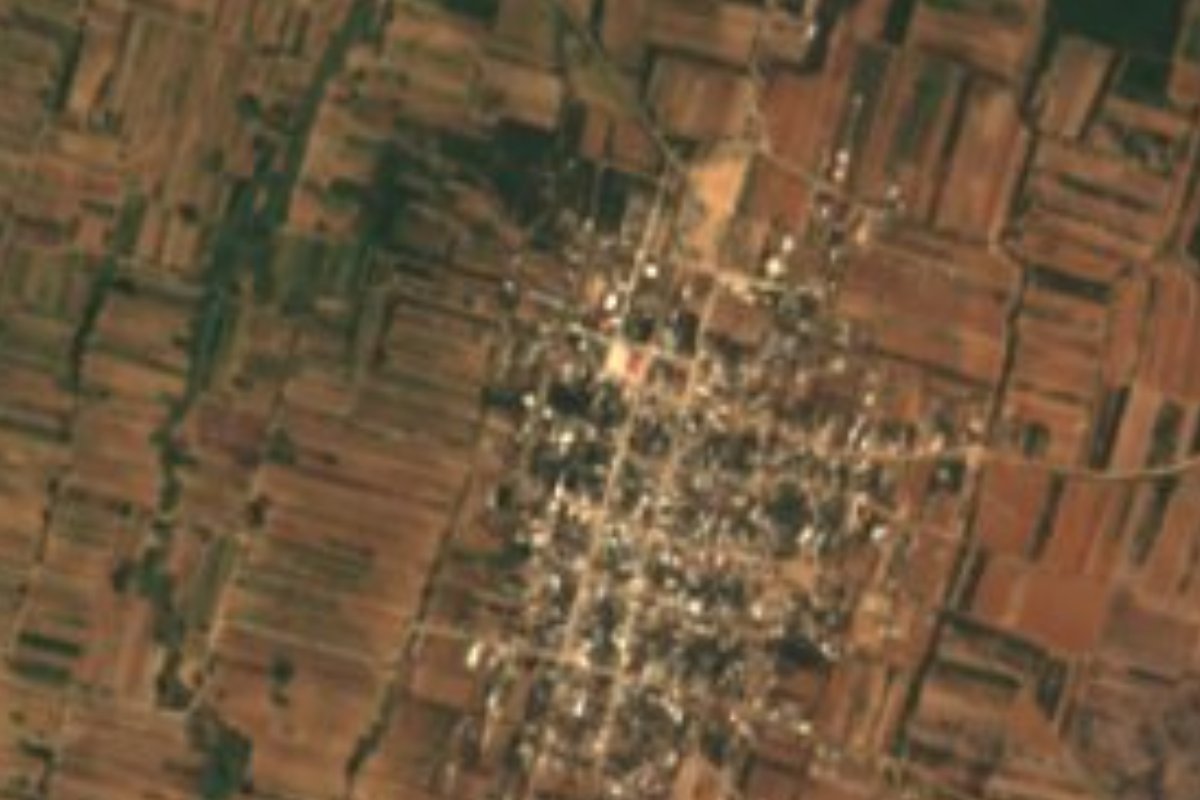
Town Santa Cruz Papalutla, Oaxaca Central Valleys of Oaxaca
Central Valleys town at 1,585 m, founded in 1615, where people weave carrizo-cane baskets and cages and the Santa Cruz church stands at the entrance.
From Oaxaca: 30 min by car (27 km by road) How to get there ↓
Near here
See everything nearby ↓


Plan your visit to Santa Cruz Papalutla
Where to stay near Santa Cruz Papalutla
Compare hotels, posadas and guest houses in Santa Cruz Papalutla.
Tours to Santa Cruz Papalutla
Day trips around Mitla sometimes stop in Santa Cruz Papalutla; a tour is the easy way to see it without a car.
 Tours from Oaxaca City
Hierve el Agua 2.5 hours, Mitla, Tule, Rugs and Mezcal for a Day
★ 4.9 (1,558) · From US$70
How to get to Santa Cruz Papalutla
- From Oaxaca: about 30 min by road (~27 km)
- Nearest airport: Oaxaca (OAX), 47 min by car to Mitla
Links open a partner site. We may earn a commission if you book, at no cost to you.
Tours from Oaxaca City, near Santa Cruz Papalutla


Tours, prices and ratings from Viator, checked weekly. We may earn a commission if you book.
About Santa Cruz Papalutla
Papalutla can be explained in one word: butterflies. The name comes from Nahuatl and means roughly "where butterflies abound", though today the town is better known for what its artisans make than for insects. It sits at 1,585 m in the eastern end of Oaxaca's Central Valleys, inside the Tlacolula district, and is the seat of a very small municipality: the 2010 census gave it only three localities and 1,972 inhabitants, and in 2020 the town itself counted 2,242 people.
What is known of its history is short and dated. The town was founded in 1615, its land titles are from 1786, in 1844 it was a dependency of the Tectipac parish within the Tlacolula subprefecture, and in 1891 it became a town council of the district. At the entrance to the town stands the Santa Cruz church, built of quarried stone and thought to date to the 16th century. Growth has been slow: 1,134 people in 1900, 1,876 in 1980 and 1,597 in 1995, before the count began to climb again.
The local craft is carrizo-cane basketry: bird cages, baskets, barrel-shaped containers, coin purses, key rings, lamps and folding screens, plus small baskets. The traditional table includes pork liver with egg, mole tamales, mezcal as an aperitif and, for dessert, preserved and candied fruit. More than 80% of the land around the town is farmed, in a semi-dry, semi-warm climate of 18 to 22 °C with 600 to 700 mm of rain a year, and only seasonal streams run through, La Bomba and El Salado. Flowers are grown and there is some livestock.
How to get to Santa Cruz Papalutla
Drive from Oaxaca: 30 min, 27 km
Papalutla is in the east of the Central Valleys, about 19 km as the crow flies from the city of Oaxaca (roughly 30 to 40 minutes by car). Your landmark is federal highway 190 (the Pan-American) toward Tlacolula and Mitla, which passes the neighbouring towns of Abasolo and Teitipac, both of which border Papalutla. You leave that highway for the last few kilometres; confirm the turn on a phone map or ask in Tlacolula.
We could not find a published bus or colectivo timetable straight to Papalutla. The practical options are to drive, or to ride public transport to Tlacolula (buses toward Mitla leave from the Niños Héroes de Chapultepec avenue area in Oaxaca) and ask there for a taxi or the pickup that runs to Papalutla.
Directions to Santa Cruz Papalutla on Google Maps
Distances are in a straight line; the road is usually longer.
Links open a partner site. We may earn a commission if you book, at no cost to you.
From the nearest cities to Santa Cruz Papalutla
- Oaxaca · 27 km by road, 30 min
- Tuxtepec · about 175 km by road, ~2 h 35 min
- Huajuapan de León · 197 km by road, 2 h 50 min
Drive times by road from OpenStreetMap, without traffic or stops. Times marked ~ are estimated from the straight-line distance.
Visiting Santa Cruz Papalutla: what to see and do
Visit the quarry-stone Santa Cruz church at the entrance to the town.
Ask for the carrizo basketry workshops and watch baskets being woven.
Look for carrizo cages, lamps, screens and coin purses to buy direct from the maker.
Try pork liver with egg and mole tamales.
Walk out through the fields and flower plots around the town.
Taste the local mezcal and the candied fruit.
Plan your trip
Places to stay in Santa Cruz Papalutla
Compare hotels, posadas, and rentals in and around Santa Cruz Papalutla.
Tours & activities
Day trips around Mitla sometimes stop in Santa Cruz Papalutla; a tour is the easy way to see it without a car.
Rental cars
Pick up a car at OAX (Oaxaca): about 47 min by road to Mitla, then 24 km more to Santa Cruz Papalutla, on your own schedule.
Flights
The nearest airport with scheduled flights is Oaxaca (OAX), about 47 min by road from Mitla, the base for Santa Cruz Papalutla.
Mobile data
Signal can drop away from Mitla: download a map of the way to Santa Cruz Papalutla before you set out, or carry an eSIM with data.
Links open a partner site. We may earn a commission if you book, at no cost to you.
When to go to Santa Cruz Papalutla mild
Santa Cruz Papalutla shares the climate of Mitla, 24 km away. The best months to visit are January, February, March, and December.
See the month-by-month climate of Mitla
Weather in Santa Cruz Papalutla now and the next 7 days
Live forecast from Open-Meteo. Chance of rain is the day's highest.
The closest Pueblo Mágico: Mitla

Mitla is the Pueblo Mágico closest to Santa Cruz Papalutla, with places to stay, food, and more to see.
Also close to
- Capulálpam de Méndez · Oaxaca · 41 km away
Closest to Santa Cruz Papalutla
-
San Sebastián Teitipac · Town · 3 km away
-
San Juan Guelavía · Town · 4 km away
-
Dainzú · Archaeological site · 6 km away
-
Rojas de Cuauhtémoc · Town · 6 km away
-
Tlacochahuaya · Landmark · 6 km away
-
San Marcos Tlapazola · Town · 8 km away
-
Lambityeco · Archaeological site · 10 km away
-
Teotitlán del Valle · Town · 10 km away


Near Santa Cruz Papalutla


Drive times by road from OpenStreetMap, without traffic. Times marked ~ are estimated from the straight-line distance.
Location from OpenStreetMap. Written by Puebloteca.