Town San Sebastián Teitipac, Oaxaca Central Valleys of Oaxaca
Zapotec town in the Central Valleys at 1,604 m: red-quarry-stone church, hand-carved metates and molcajetes, tejate made on a metate.
From Oaxaca: 30 min by car (25 km by road) How to get there ↓
Near here
See everything nearby ↓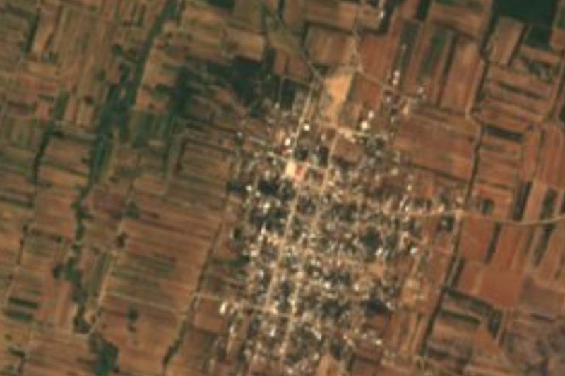


Plan your visit to San Sebastián Teitipac
Where to stay near San Sebastián Teitipac
Compare hotels, posadas and guest houses in San Sebastián Teitipac.
Tours to San Sebastián Teitipac
Day trips around Mitla sometimes stop in San Sebastián Teitipac; a tour is the easy way to see it without a car.
 Tours from Oaxaca City
Hierve el Agua 2.5 hours, Mitla, Tule, Rugs and Mezcal for a Day
★ 4.9 (1,558) · From US$70
How to get to San Sebastián Teitipac
- From Oaxaca: about 30 min by road (~25 km)
- Nearest airport: Oaxaca (OAX), 47 min by car to Mitla
Links open a partner site. We may earn a commission if you book, at no cost to you.
Tours from Oaxaca City, near San Sebastián Teitipac


Tours, prices and ratings from Viator, checked weekly. We may earn a commission if you book.
About San Sebastián Teitipac
Teitipac lies on the Tlacolula branch of the Central Valleys at 1,604 m, at the foot of land that climbs to 2,600 m. It is said to have been founded around 1370 by descendants of Zapotecs, and to have first been called San Sebastián de las Flores for the flowers around a spring. Two rivers, the Río Seco and the Río Grande, cross the municipality, which has 8 localities and about 31 km².
The church of San Sebastián dates from the 17th century and stands out for its mottled red quarry stone. The municipality also has the archaeological site of El Popote, with Monte Albán II and V phases. The town is governed by usos y costumbres and changes authorities every three years; about 486 people speak Zapotec. The population was 987 in 1900, peaked at 2,043 in 1980 and was 1,857 in 2020.
Stone and reed are the local crafts: artisans carve metates and molcajetes from quarried stone, and weave baskets and chiquihuites. The fields give maize, beans and chickpeas. Local cooking includes mole, higadito, molcajete salsas, banana-leaf tamales, nicuatole, champurrado and tejate prepared on a metate.
The patron saint's fiestas are on 20 January, San Sebastián Mártir, and 8 December, with a procession, fireworks, a rodeo and a closing dance. At Día de Muertos altars are set up and the municipal cemetery is visited.
How to get to San Sebastián Teitipac
Drive from Oaxaca: 30 min, 25 km
Teitipac is on federal highway 190, toward Tlacolula, about 23 km by road from Oaxaca city (about 30 min by car). Once on the 190 you take the road up to the town.
Without a car: a Choferes del Sur bus leaves from Blvd. Eduardo Vasconcelos in Oaxaca (about every 10 minutes, about 17 minutes' ride) to the Oaxaca-Tehuantepec highway, and from there a taxi of about 20 minutes goes to the town. There is also a taxi stand for San Sebastián Teitipac at Periférico 1020 in Oaxaca. We found no timetable for a direct colectivo; ask at the stand before you go.
Directions to San Sebastián Teitipac on Google Maps
Distances are in a straight line; the road is usually longer.
Links open a partner site. We may earn a commission if you book, at no cost to you.
From the nearest cities to San Sebastián Teitipac
- Oaxaca · 25 km by road, 30 min
- Tuxtepec · about 180 km by road, ~2 h 40 min
- Huajuapan de León · 195 km by road, 2 h 50 min
Drive times by road from OpenStreetMap, without traffic or stops. Times marked ~ are estimated from the straight-line distance.
Before you go to San Sebastián Teitipac: hours, prices and tips
- Best season
- Patron saint's fiestas on 20 January and 8 December; Día de Muertos altars and cemetery visits. Wikipedia (Municipio de San Sebastián Teitipac) · checked Oct 2026
Hours and prices change, especially around holidays. Each fact links to where we checked it.
Visiting San Sebastián Teitipac: what to see and do
Step into the church of San Sebastián and look at its mottled red quarry stone.
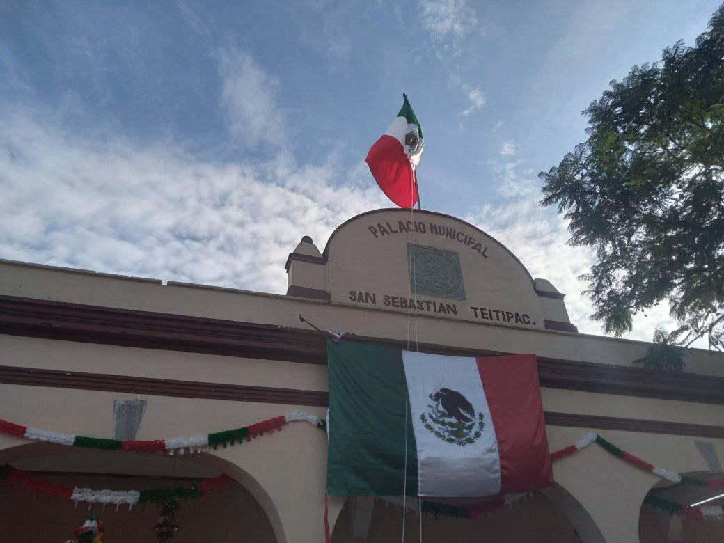
Stop by the municipal palace on the plaza.
Ask to see how a metate or molcajete is carved from quarry stone.
Look for reed baskets and chiquihuites woven in town.
Try tejate made on a metate and banana-leaf tamales.
Visit the archaeological site of El Popote in the municipality.
Come on 20 January or 8 December for the patron saint's fiestas.
Plan your trip
Places to stay in San Sebastián Teitipac
Compare hotels, posadas, and rentals in and around San Sebastián Teitipac.
Tours & activities
Day trips around Mitla sometimes stop in San Sebastián Teitipac; a tour is the easy way to see it without a car.
Rental cars
Pick up a car at OAX (Oaxaca): about 47 min by road to Mitla, then 27 km more to San Sebastián Teitipac, on your own schedule.
Flights
The nearest airport with scheduled flights is Oaxaca (OAX), about 47 min by road from Mitla, the base for San Sebastián Teitipac.
Mobile data
Signal can drop away from Mitla: download a map of the way to San Sebastián Teitipac before you set out, or carry an eSIM with data.
Links open a partner site. We may earn a commission if you book, at no cost to you.
When to go to San Sebastián Teitipac mild
San Sebastián Teitipac shares the climate of Mitla, 27 km away. The best months to visit are January, February, March, and December.
See the month-by-month climate of Mitla
Weather in San Sebastián Teitipac now and the next 7 days
Live forecast from Open-Meteo. Chance of rain is the day's highest.
The closest Pueblo Mágico: Mitla

Mitla is the Pueblo Mágico closest to San Sebastián Teitipac, with places to stay, food, and more to see.
Also close to
- Capulálpam de Méndez · Oaxaca · 43 km away
Closest to San Sebastián Teitipac
-
Santa Cruz Papalutla · Town · 3 km away
-
Rojas de Cuauhtémoc · Town · 6 km away
-
Tlacochahuaya · Landmark · 7 km away
-
Dainzú · Archaeological site · 8 km away
-
San Juan Guelavía · Town · 8 km away
-
San Bartolo Coyotepec · Town · 10 km away
-
San Marcos Tlapazola · Town · 11 km away
-
Ánimas Trujano · Town · 11 km away

Near San Sebastián Teitipac


Drive times by road from OpenStreetMap, without traffic. Times marked ~ are estimated from the straight-line distance.
Location from OpenStreetMap. Written by Puebloteca.