

Village Umán, Yucatán Municipality of Umán Mérida and around
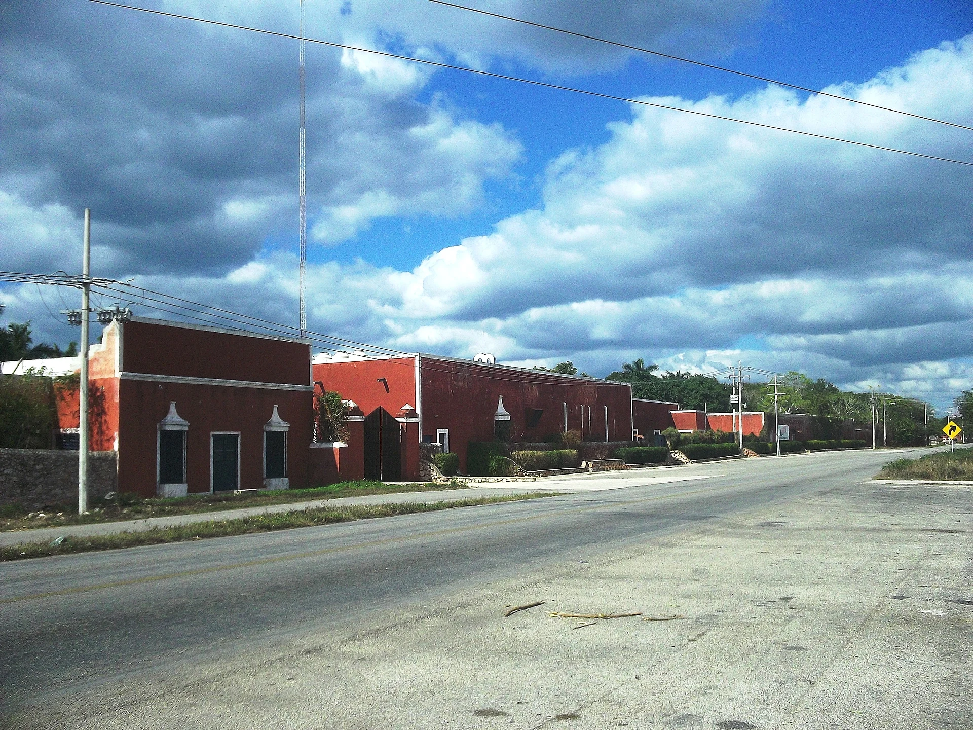
A hacienda village south-west of Umán whose long red estate buildings line the road, near the larger village of Bolón.
From Mérida: 30 min by car (27 km by road) How to get there ↓
Near here
See everything nearby ↓




Plan your visit to Poxilá
Where to stay near Poxilá
Compare hotels, posadas and guest houses in Poxilá.
Tours to Poxilá
Day trips and guided outings from Sisal often include Poxilá; with a local guide you can get there without a car.
 Tours from Merida
From Merida: Chichen Itza Tour, Izamal, Cenote Ik Kil and Food
★ 4.9 (578) · From US$74
How to get to Poxilá
- From Mérida: about 30 min by road (~27 km)
- Nearest airport: Mérida (MID), 1 h 7 min by car to Sisal
Links open a partner site. We may earn a commission if you book, at no cost to you.
Tours from Merida, near Poxilá


Tours, prices and ratings from Viator, checked weekly. We may earn a commission if you book.
About Poxilá
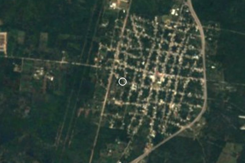
Some 9 km south-west of Umán, and about 25 km south-west of downtown Mérida as the crow flies, the hacienda village of Poxilá belongs to Umán municipality. Bolón, a noticeably bigger village, is around 4.5 km away. Population figures run from 198 in 1900 to 801 in 2005 and 888 in 2020.
Locals explain the Yucatec Maya name as 'the place of the custard apples (anonas) and the water'. Census records called it San Antonio Poxilá for much of the 20th century: it took that form in 1910, reverted to Poxilá in 1970, became San Antonio Poxilá again in 1980 and was recorded as Poxila in 1990. Like many settlements in Umán, it developed from a hacienda and appears on the list of Yucatecan haciendas.
Arriving, it is the old estate that catches your eye before anything else. Long hacienda buildings painted red, with doors and small windows, line the paved road, and a red wall closes off part of the former grounds; a small hacienda church stands behind a red gate. With no visitor services in the village, plan on a brief stop while driving the old hacienda villages south-west of Umán, combined with Bolón and Oxholón.
How to get to Poxilá
Drive from Mérida: 30 min, 27 km
Federal Highway 180 runs south-west from Mérida to Umán, about 18 km. Poxilá is a further 9 km south-west of Umán's centre in a straight line, along local roads; use a map for that final stretch.
Directions to Poxilá on Google Maps
Distances are in a straight line; the road is usually longer.
Links open a partner site. We may earn a commission if you book, at no cost to you.
From the nearest cities to Poxilá
- Mérida · 27 km by road, 30 min
- Campeche · 143 km by road, 1 h 45 min
- Valladolid · 190 km by road, 2 h 35 min
Drive times by road from OpenStreetMap, without traffic or stops. Times marked ~ are estimated from the straight-line distance.
Visiting Poxilá: what to see and do
Take in the line of long red hacienda buildings along the road.
Peer through the red gate at the little hacienda church.
Stroll beside the red wall that encloses part of the old grounds.
Go on to Bolón, about 4.5 km off, or to the ruined hacienda at Oxholón.
Plan your trip
Places to stay in Poxilá
Compare hotels, posadas, and rentals in and around Poxilá.
Tours & activities
Day trips and guided outings from Sisal often include Poxilá; with a local guide you can get there without a car.
Rental cars
Pick up a car at MID (Mérida): about 1 h 7 min by road to Sisal, then 45 km more to Poxilá, on your own schedule.
Flights
The nearest airport with scheduled flights is Mérida (MID), about 1 h 7 min by road from Sisal, the base for Poxilá.
Mobile data
Signal can drop away from Sisal: download a map of the way to Poxilá before you set out, or carry an eSIM with data.
Links open a partner site. We may earn a commission if you book, at no cost to you.
Photos
When to go to Poxilá warm
Poxilá shares the climate of Sisal, 45 km away. The best months to visit are January, February, November, and December.
See the month-by-month climate of Sisal
Weather in Poxilá now and the next 7 days
Live forecast from Open-Meteo. Chance of rain is the day's highest.
The closest Pueblo Mágico: Sisal

Sisal is the Pueblo Mágico closest to Poxilá, with places to stay, food, and more to see.
Also close to
Closest to Poxilá
-
Bolón · Village · 5 km away
-
Xtepén · Village · 6 km away
-
Oxholón · Village · 7 km away
-
Cenote San Ignacio · Cenote · 8 km away
-
Sac Nicté · Village · 9 km away
-
San Antonio Chun · Village · 9 km away
-
Umán · City · 9 km away
-
Dzibikak · Village · 10 km away


Near Poxilá


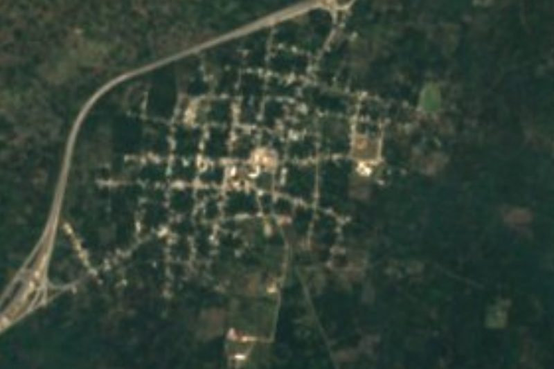


Drive times by road from OpenStreetMap, without traffic. Times marked ~ are estimated from the straight-line distance.
Location from OpenStreetMap. Written by Puebloteca.