Town Valparaíso, Zacatecas
Ranching valley in western Zacatecas: haciendas of the counts of San Mateo, hot springs at Atotonilco and the Purísima fair in December.
From Fresnillo: about 1 h 40 min by road (~110 km) How to get there ↓
Plan your visit to Valparaíso
Where to stay near Valparaíso
Compare hotels, posadas and guest houses in Valparaíso.
Tours to Valparaíso
Day trips around Jerez sometimes stop in Valparaíso; a tour is the easy way to see it without a car.
How to get to Valparaíso
- From Fresnillo: about 1 h 40 min by road (~110 km)
- Nearest airport: Zacatecas (ZCL), 1 h 4 min by car to Jerez
Links open a partner site. We may earn a commission if you book, at no cost to you.
About Valparaíso
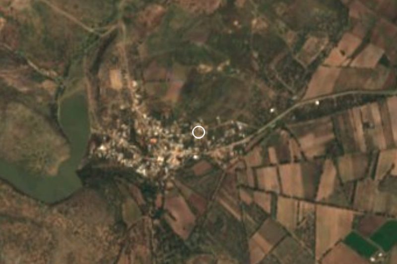
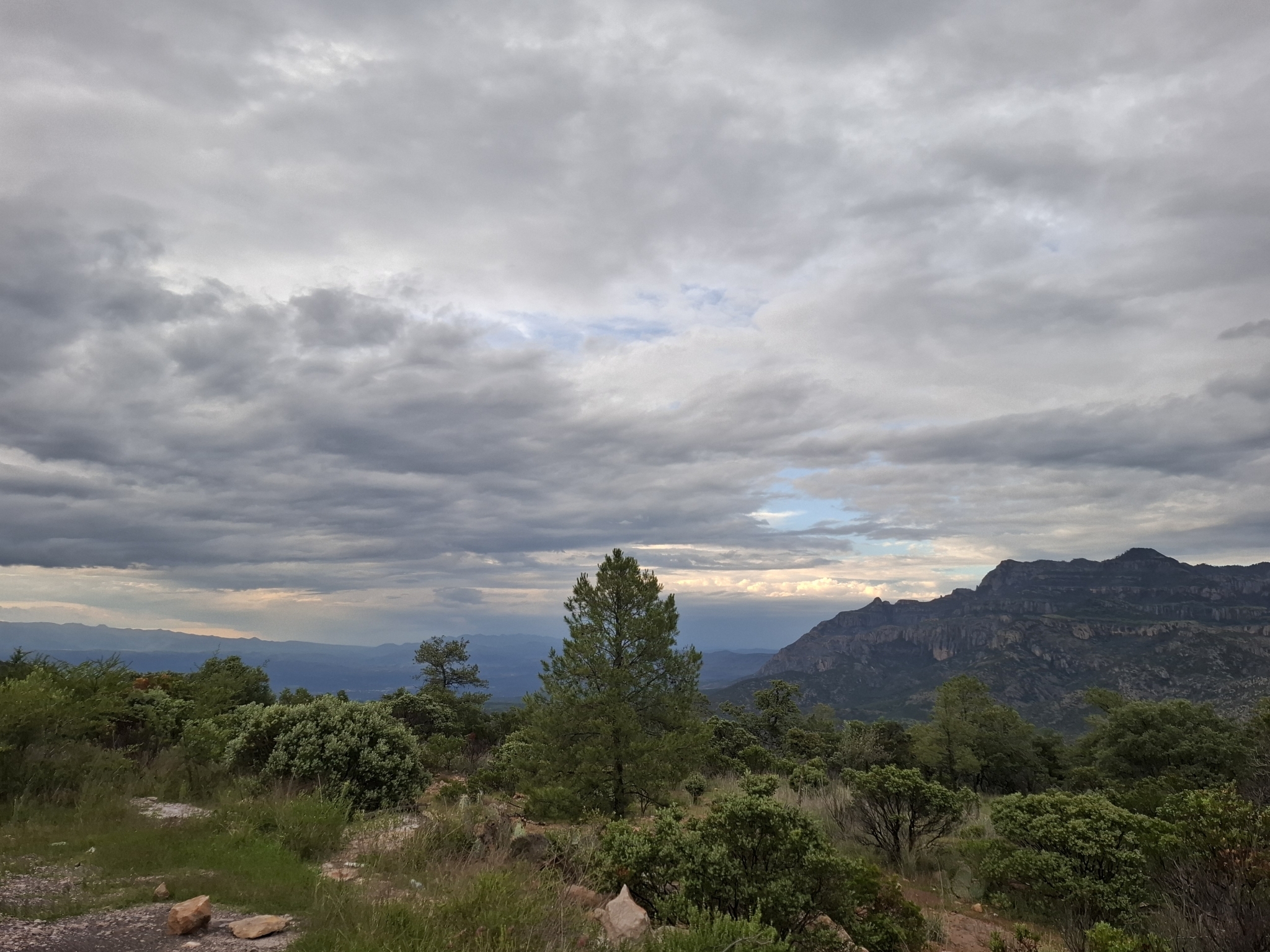
Valparaíso sits on a valley floor about 1,880 metres up, with the sierra climbing to nearly 2,900 to the west; the name is Latin for vale of paradise. The town of about 13,500 lives from corn, beans and cattle and heads a municipality that reaches Durango, Nayarit and Jalisco, with pine forest, sawmills and Huichol communities in the south.
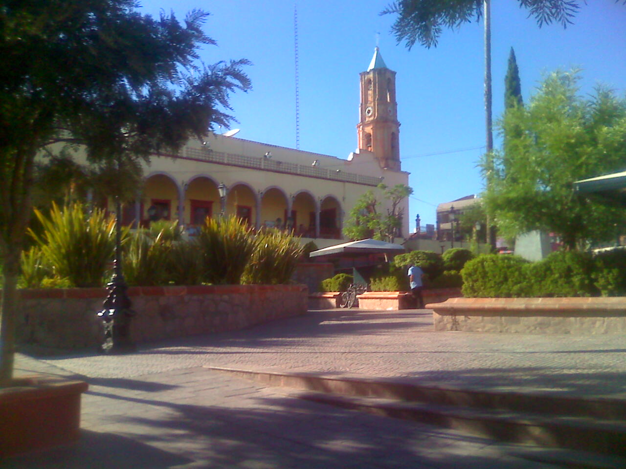
Diego de Ibarra reached the valley on December 8, 1568, and set up a cattle ranch here; as land was added, the hacienda grew to nearly half a million hectares. In the 18th century it passed to the de la Campa y Cos family, counts of San Mateo de Valparaíso, whose money built, in Mexico City, the Palacio de los Condes de San Mateo de Valparaíso and what is now the Palacio de Iturbide, both designed by Francisco Antonio de Guerrero y Torres. Back in the valley, the church of the Purísima Concepción was begun with a flat earthen roof in 1568, took its present form in 1737 and got its vaulted ceiling in 1870.
In August 1926 Pedro Quintanar rose up from these ranches and on the 29th rode into Huejuquilla el Alto, the first real battle of the Cristero War. The painter and sculptor Manuel Felguérez was born here.
The Museo Regional shows fossils, Indigenous embroidery and finds from the shaft tombs at La Florida, about 7 km away. Atotonilco, 3 km out, has thermal-water pools. The regional fair, FEREVA, takes over early December: the 8th belongs to the Purísima, the valley's patron, and the 12th to the Virgin of Guadalupe. There is a Sunday street market.
How to get to Valparaíso
From Fresnillo, federal highway 44 (Fresnillo-Valparaíso) runs straight southwest to the edge of town, where a truck bypass skirts it. It is 1 h 30 min from Fresnillo, 93 km by road. From Jerez, the nearest Pueblo Mágico, take federal highway 23 north, then state road 202 through Lobatos and Adjuntas del Refugio to join highway 44: 1 h 30 min, 83 km.
Without a car: intercity buses and taxis link Valparaíso with Fresnillo's Central de Autobuses (Calle Durango 402), which Chihuahuenses buses reach from Zacatecas every 30 minutes. We found no published timetable for the Fresnillo-Valparaíso leg; ask at the ticket windows in Fresnillo's station.
Directions to Valparaíso on Google Maps
Distances are in a straight line; the road is usually longer.
Links open a partner site. We may earn a commission if you book, at no cost to you.
From the nearest cities to Valparaíso
- Fresnillo · about 110 km by road, ~1 h 40 min
- Zacatecas · about 135 km by road, ~1 h 55 min
- Aguascalientes · about 215 km by road, ~3 h 10 min
Drive times by road from OpenStreetMap, without traffic or stops. Times marked ~ are estimated from the straight-line distance.
Before you go to Valparaíso: hours, prices and tips
- Best season
- Regional fair (FEREVA) in early December; the 8th is the Purísima Concepción's day and the 12th the Virgin of Guadalupe's. Wikipedia (es), Valparaíso (Zacatecas) · checked Oct 2026
- Rules
- The US State Department advises against all travel to Zacatecas over crime. US State Department, Mexico travel advisory · checked Oct 2026
Hours and prices change, especially around holidays. Each fact links to where we checked it.
Visiting Valparaíso: what to see and do
The church of the Purísima Concepción and the town hall on the main square
The Museo Regional, with fossils, embroidery and shaft-tomb finds
The Casa de la Cultura Manuel Felguérez, in a restored old house
The thermal pools at Atotonilco, 3 km away
The shaft tombs at La Florida, about 7 km away
The hacienda and church of San Mateo, once the counts' seat and later a fighting-bull ranch
Cerro de la Lechuguilla, looking out over the whole valley
The Sunday street market
Plan your trip
Places to stay in Valparaíso
Compare hotels, posadas, and rentals in and around Valparaíso.
Tours & activities
Day trips around Jerez sometimes stop in Valparaíso; a tour is the easy way to see it without a car.
Rental cars
Pick up a car at ZCL (Zacatecas): about 1 h 4 min by road to Jerez, then 60 km more to Valparaíso, on your own schedule.
Flights
The nearest airport with scheduled flights is Zacatecas (ZCL), about 1 h 4 min by road from Jerez, the base for Valparaíso.
Mobile data
Signal can drop away from Jerez: download a map of the way to Valparaíso before you set out, or carry an eSIM with data.
Links open a partner site. We may earn a commission if you book, at no cost to you.
When to go to Valparaíso mild
Valparaíso shares the climate of Jerez, 60 km away. The best months to visit are January, March, April, and December.
See the month-by-month climate of Jerez
Weather in Valparaíso now and the next 7 days
Live forecast from Open-Meteo. Chance of rain is the day's highest.
The closest Pueblo Mágico: Jerez

Jerez is the Pueblo Mágico closest to Valparaíso, with places to stay, food, and more to see.
Closest to Valparaíso
-
Mezquitic · Village · 45 km away

Near Valparaíso




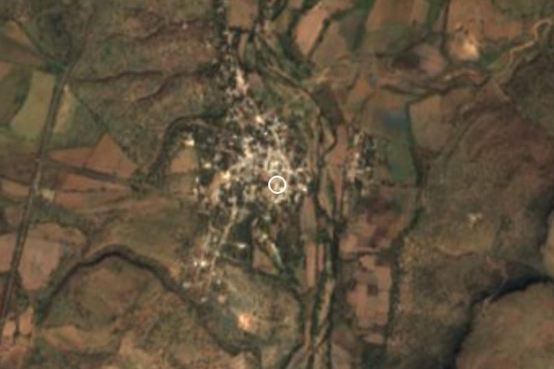
Drive times by road from OpenStreetMap, without traffic. Times marked ~ are estimated from the straight-line distance.
Location from OpenStreetMap. Written by Puebloteca.