Waterfall Chiapas Palenque and Northern Chiapas
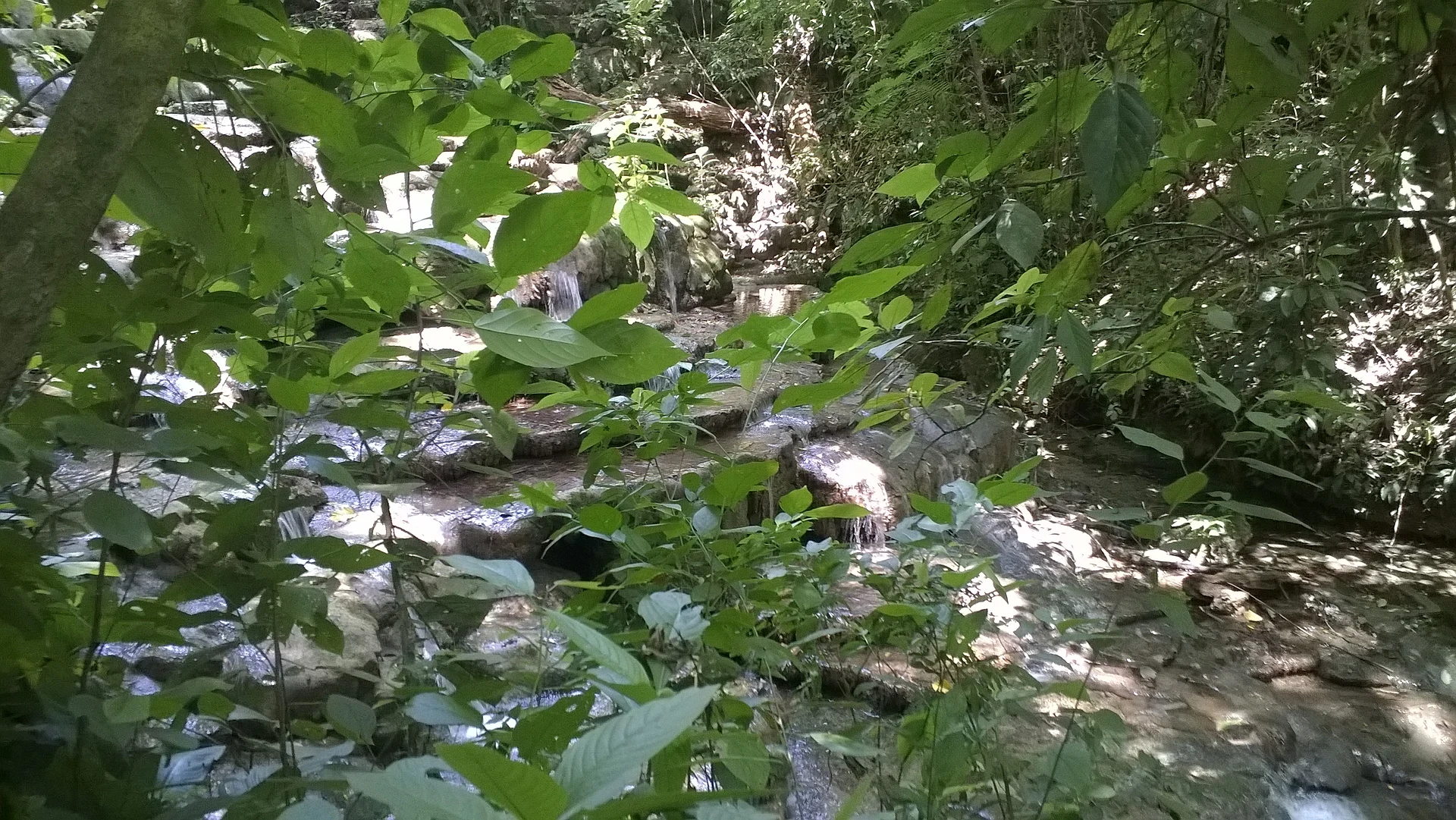
Small waterfall in the rainforest of Palenque National Park, at the end of a jungle trail that passes the Forgotten Temple.
From Palenque: about 10 min by road (~10 km) How to get there ↓
Near here
See everything nearby ↓



Plan your visit to Cascada Motiepá
Where to stay near Cascada Motiepá
Compare hotels, posadas and guest houses in Cascada Motiepá.
Tours to Cascada Motiepá
Day trips and guided outings from Palenque often include Cascada Motiepá; with a local guide you can get there without a car.
 Tours from Palenque
Yaxchilan & Bonampak: Hidden Maya Ruins from Palenque
★ 4.4 (41) · From US$133
How to get to Cascada Motiepá
- From Palenque: about 10 min by road (~10 km)
- Nearest airport: Villahermosa (VSA), 1 h 47 min by car to Palenque
Links open a partner site. We may earn a commission if you book, at no cost to you.
Tours from Palenque, near Cascada Motiepá


Tours, prices and ratings from Viator, checked weekly. We may earn a commission if you book.
About Cascada Motiepá
Motiepá waterfall lies inside Palenque National Park rather than within the archaeological zone itself, reached from around km 4.5 of the Palenque–Ruinas road. The park, decreed in 1981, protects about 1,772 hectares of tall evergreen rainforest and grassland between 200 and 800 metres above sea level, with a warm, humid climate (26 °C on average) and rain all year, heaviest in summer. The drop is small; the walk is the point. The Motiepá trail is well marked, starts under a wooden arch with the trail sign, crosses the jungle and passes the so-called Forgotten Temple. There is also a lookout over the falls. It is a good place for birds: the park has recorded 50 of Mexico's 87 raptor species, along with howler monkeys and scarlet macaws.
Park rules ban swimming in the waterfalls, smoking, campfires, feeding wildlife and marking trees. Bring insect repellent, cotton clothing, a hat and comfortable shoes that can get muddy.
How to get to Cascada Motiepá
From central Palenque it is about 9 km and 15 minutes by road toward the archaeological zone; the trail is in Palenque National Park, near km 4.5 of that road. Without a car, minibuses from town to Las Ruinas leave every 10 to 15 minutes (30 pesos in March 2025) and run up to the park entrance. From there you walk to the archaeological zone and pick up the trail. The park is open daily 8:30 am to 4:00 pm. Palenque is also the nearest Pueblo Mágico.
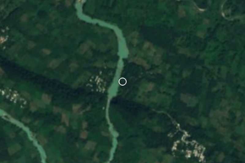
Directions to Cascada Motiepá on Google Maps
Distances are in a straight line; the road is usually longer.
Links open a partner site. We may earn a commission if you book, at no cost to you.
From the nearest cities to Cascada Motiepá
- Palenque · about 10 km by road, ~10 min
- San Cristóbal de las Casas · about 135 km by road, ~2 h
- Villahermosa · about 140 km by road, ~2 h 5 min
Drive times by road from OpenStreetMap, without traffic or stops. Times marked ~ are estimated from the straight-line distance.
Before you go to Cascada Motiepá: hours, prices and tips
- Hours
- Palenque National Park, daily 8:30 am to 4:00 pm. CONANP: Parque Nacional Palenque · checked Oct 2026
- Entry
- Park entry: 225 pesos per person per day (50% off for Mexican visitors; free for children under 12 and seniors with ID). CONANP: Parque Nacional Palenque · checked Oct 2026
- What to bring
- Insect repellent, cotton clothing, a hat and comfortable shoes. CONANP: Parque Nacional Palenque · checked Oct 2026
- Rules
- No swimming in the waterfalls, no smoking, campfires or feeding wildlife. CONANP: Parque Nacional Palenque · checked Oct 2026
Hours and prices change, especially around holidays. Each fact links to where we checked it.
Visiting Cascada Motiepá: what to see and do
The Motiepá trail, under the wooden arch, through the jungle.
The Forgotten Temple, beside the path.
The lookout and Motiepá waterfall.
Birds, howler monkeys and macaws in the park.
Plan your trip
Places to stay in Cascada Motiepá
Compare hotels, posadas, and rentals in and around Cascada Motiepá.
Tours & activities
Day trips and guided outings from Palenque often include Cascada Motiepá; with a local guide you can get there without a car.
Rental cars
Pick up a car at VSA (Villahermosa): about 1 h 47 min by road to Palenque, then 8 km more to Cascada Motiepá, on your own schedule.
Flights
The nearest airport with scheduled flights is Villahermosa (VSA), about 1 h 47 min by road from Palenque, the base for Cascada Motiepá.
Travel insurance
If you plan on swimming and hiking at Cascada Motiepá, check that your policy covers it: some plans leave adventure activities out.
Mobile data
Signal can drop away from Palenque: download a map of the way to Cascada Motiepá before you set out, or carry an eSIM with data.
Links open a partner site. We may earn a commission if you book, at no cost to you.
When to go to Cascada Motiepá warm
Cascada Motiepá shares the climate of Palenque, 8 km away. The best months to visit are January, February, March, and December.
Waterfalls like Cascada Motiepá run fullest in the rainiest months here (June, September, and October) and can thin out at the end of the dry season (March, April, and December).
See the month-by-month climate of Palenque
Weather in Cascada Motiepá now and the next 7 days
Live forecast from Open-Meteo. Chance of rain is the day's highest.
The closest Pueblo Mágico: Palenque

Palenque is the Pueblo Mágico closest to Cascada Motiepá, with places to stay, food, and more to see.
Also close to
- Tapijulapa · Tabasco · 78 km away
Closest to Cascada Motiepá
-
Zona Arqueológica de Palenque · Archaeological site · 0 km away
-
Misol-Há · Waterfall · 12 km away
-
Cascadas de Roberto Barrios · Waterfall · 22 km away
-
Profesor Roberto Barrios · Village · 22 km away
-
Agua Clara · Nature reserve · 25 km away
-
Agua Azul · Waterfall · 27 km away
-
Catazajá · Lake · 27 km away
-
Cascada Welib-Já · Waterfall · 29 km away

Near Cascada Motiepá


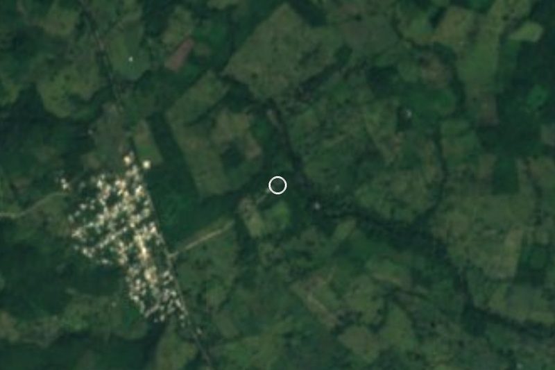
Drive times by road from OpenStreetMap, without traffic. Times marked ~ are estimated from the straight-line distance.
Lists with Cascada Motiepá
Waterfalls in Chiapas · 8 Waterfalls near Palenque · 5Location from OpenStreetMap. Written by Puebloteca.