Village Villa Guerrero, Estado de México Southern Estado de México
San José in Villa Guerrero: 2,412 people at 2,434 m in flower-growing country, with its church and a feast on 19 March; not a San José elsewhere.
From Toluca: 45 min by car (50 km by road) How to get there ↓
Near here
See everything nearby ↓


Plan your visit to San José
Where to stay near San José
Compare hotels, posadas and guest houses in San José.
Tours to San José
Day trips and guided outings from Malinalco often include San José; with a local guide you can get there without a car.
 Tours from Cuernavaca
3hr Cooking Class in Cuernavaca 8 Recipes and Bottomless Drinks
From US$59
How to get to San José
- From Toluca: about 45 min by road (~50 km)
- Nearest airport: Toluca (TLC), 1 h 14 min by car to Malinalco
Links open a partner site. We may earn a commission if you book, at no cost to you.
Tours from Cuernavaca, near San José


Tours, prices and ratings from Viator, checked weekly. We may earn a commission if you book.
About San José
This San José belongs to the municipality of Villa Guerrero, in the south of the State of Mexico, on the southern slopes of the Nevado de Toluca; many places in Mexico share the name, and this is the one about 6 km north of the municipal seat, Villa Guerrero. INEGI counted 2,412 residents in 2020, ninth among the municipality's 51 localities. It lies at about 2,430 metres, well above the municipal average of 2,095 m, and Villa Guerrero's monograph places the neighbouring Los Ranchos de San José in that northern zone near the Nevado, where frosts are often severe.
Villa Guerrero is the municipality of flower growing: chrysanthemums, alstroemerias, anthuriums, gladioli, gerberas and lilies are grown on a large scale, along with roses and carnations, and that activity shapes the regional landscape. The monograph describes San José as a ranchería with its own church, dedicated to the father of Jesus, and names it among the places that could qualify as a pueblo. The monograph counts it among the northern communities with erosion and gullies caused by the steep ground.
On 19 March San José and the nearby Los Ranchos de San José celebrate their patron feast, the best day to come. With no museums or organised tourist sites, a visit is about farmland, country roads and community life; ask in the seat about access.
How to get to San José
Drive from Toluca: 45 min, 50 km
From Toluca take Federal Highway 55 toward Tenancingo and Villa Guerrero, which according to the municipal monograph passes Palmillas and reaches the seat with a bypass that continues to Ixtapan de la Sal and Tonatico. There is also the Tenango-Ixtapan de la Sal toll road, with exits to Villa Guerrero at kilometres 19 and 23. San José is about 6 km from the seat, reached by local road, and the monograph lists taxi stands and pickups serving the outlying communities.
By bus, the company Tres Estrellas del Centro links Villa Guerrero with Mexico City and Toluca, and also with Ixtapan de la Sal, Coatepec Harinas, Tenancingo and Tonatico. From Toluca (about 31 km in a straight line) allow roughly 1 hour by car; Malinalco, the nearest pueblo, is about 18 km away in a straight line.
Directions to San José on Google Maps
Distances are in a straight line; the road is usually longer.
Links open a partner site. We may earn a commission if you book, at no cost to you.
From the nearest cities to San José
- Toluca · 50 km by road, 45 min
- Taxco · 85 km by road, 1 h 20 min
- Mexico City · 102 km by road, 1 h 40 min
Drive times by road from OpenStreetMap, without traffic or stops. Times marked ~ are estimated from the straight-line distance.
Before you go to San José: hours, prices and tips
- Best season
- The patron feast of San José is on 19 March; the northern zone near the Nevado has a cool, humid climate and frosts are often severe. Monografía municipal de Villa Guerrero · checked Oct 2026
Hours and prices change, especially around holidays. Each fact links to where we checked it.
Visiting San José: what to see and do
Templo de San José, dedicated to the father of Jesus
Patron feast on 19 March, shared with Los Ranchos de San José
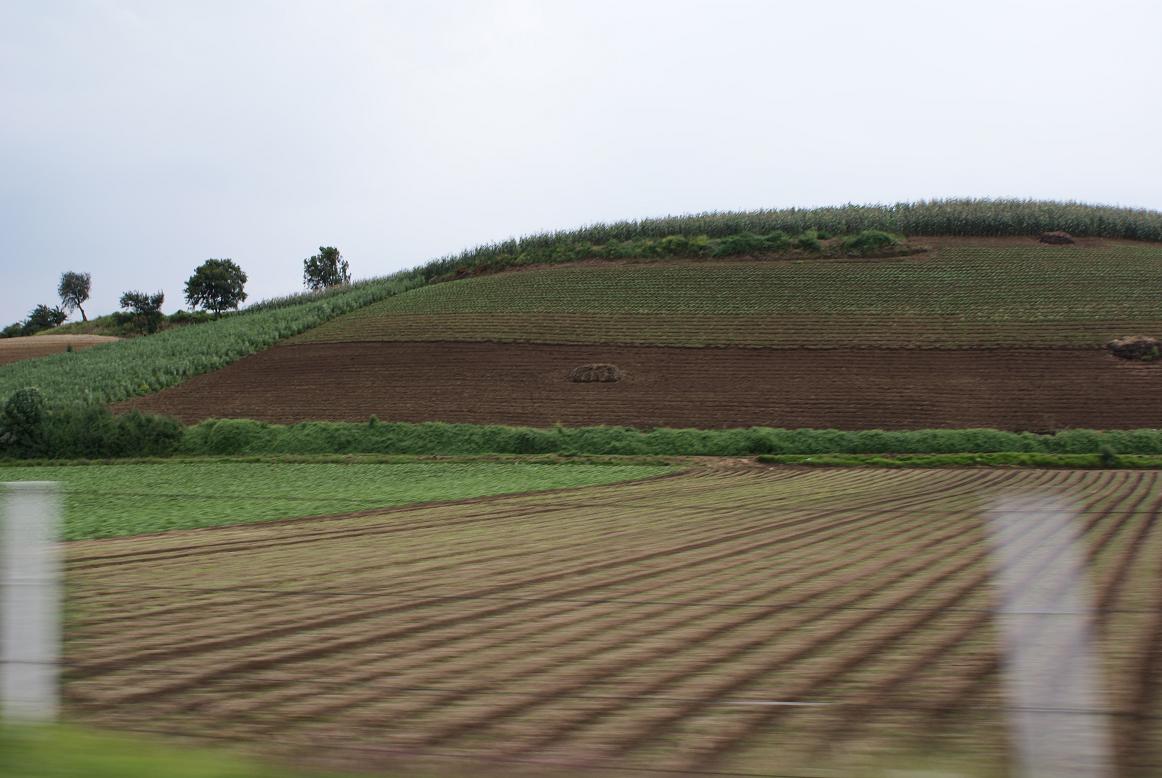
Flower fields on the Villa Guerrero hillsides
Views toward the Nevado de Toluca from the municipality's higher northern ground
Plan your trip
Places to stay in San José
Compare hotels, posadas, and rentals in and around San José.
Tours & activities
Day trips and guided outings from Malinalco often include San José; with a local guide you can get there without a car.
Rental cars
Pick up a car at TLC (Toluca): about 1 h 14 min by road to Malinalco, then 18 km more to San José, on your own schedule.
Flights
The nearest airport with scheduled flights is Toluca (TLC), about 1 h 14 min by road from Malinalco, the base for San José.
Mobile data
Signal can drop away from Malinalco: download a map of the way to San José before you set out, or carry an eSIM with data.
Links open a partner site. We may earn a commission if you book, at no cost to you.
When to go to San José mild
San José shares the climate of Malinalco, 18 km away. The best months to visit are January, February, March, and December.
See the month-by-month climate of Malinalco
Weather in San José now and the next 7 days
Live forecast from Open-Meteo. Chance of rain is the day's highest.
The closest Pueblo Mágico: Malinalco

Malinalco is the Pueblo Mágico closest to San José, with places to stay, food, and more to see.
Also close to
- Ixtapan de la Sal · Estado de México · 19 km away
- Tonatico · Estado de México · 23 km away
- Metepec · Estado de México · 27 km away
- Xochitepec · Morelos · 44 km away
- Taxco · Guerrero · 51 km away
Closest to San José
-
Santa Ana Ixtlahuatzingo · Village · 6 km away
-
Villa Guerrero · Town · 6 km away
-
San Bartolomé Atlatlahuca · Village · 8 km away
-
Tenancingo · Town · 9 km away
-
San Francisco Putla · Village · 13 km away
-
Tenango de Arista · Town · 13 km away
-
Teotenango · Archaeological site · 13 km away
-
Joquicingo · Town · 14 km away


Near San José


Drive times by road from OpenStreetMap, without traffic. Times marked ~ are estimated from the straight-line distance.
Location from OpenStreetMap. Written by Puebloteca.