

Town Mexicaltzingo, Estado de México Toluca Valley
Municipal seat next to Metepec, with its San Mateo parish church, a small railway museum and a name for chicharrón.
From Toluca: 10 min by car (13 km by road) How to get there ↓
Near here
See everything nearby ↓


Plan your visit to San Mateo Mexicaltzingo
Where to stay near San Mateo Mexicaltzingo
Compare hotels, posadas and guest houses in San Mateo Mexicaltzingo.
Tours to San Mateo Mexicaltzingo
Day trips around Metepec sometimes stop in San Mateo Mexicaltzingo; a tour is the easy way to see it without a car.
How to get to San Mateo Mexicaltzingo
- From Toluca: about 10 min by road (~13 km)
- Nearest airport: Toluca (TLC), 17 min by car to Metepec
Links open a partner site. We may earn a commission if you book, at no cost to you.
About San Mateo Mexicaltzingo
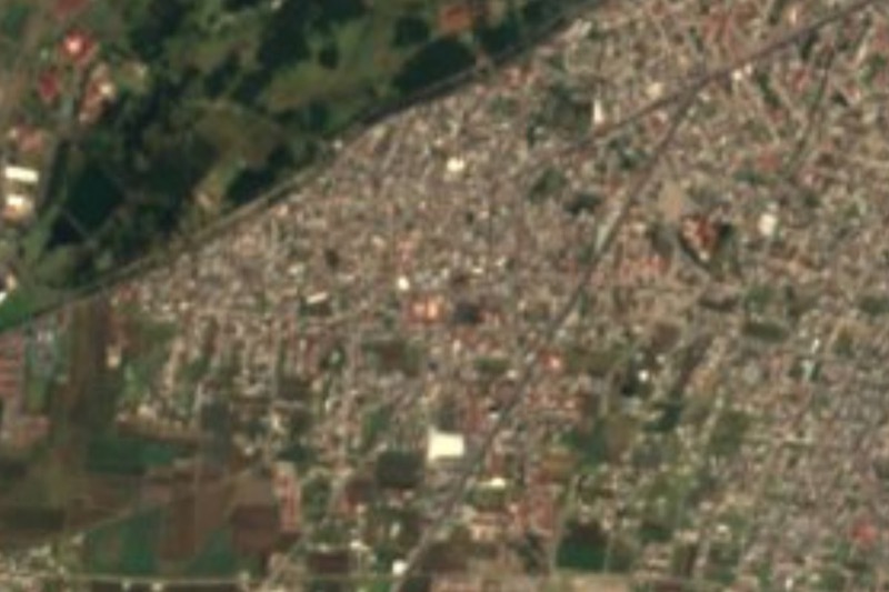
San Mateo Mexicaltzingo is the seat of the municipality of Mexicaltzingo in the Toluca valley, tucked against Metepec and Calimaya and about 12 km in a straight line from central Toluca. It stands at 2,600 m, and INEGI's 2020 census counted 10,854 people in the town and 13,807 in the whole municipality, which covers just 12.2 km2. The whole municipality fits in that small territory: the town and the fields around it.
The Nahuatl name is usually rendered as "place where the honourable Mexica live". The accepted account dates the settlement to about 1475, when Axayacatl ordered families from a village near Iztapalapa moved to this area south of today's Toluca. After the Conquest the Spanish largely destroyed it, including its place of worship, and around 1527 it was renamed San Mateo Mexicaltzingo. Some residents returned by about 1560 and set up a town under its own tlatoani. The first temple to Saint Matthew the Apostle went up in 1603 and the present church dates from 1776. The municipality was created in 1869, after a petition first filed in 1849, and the town hall was only built in 1921.
What you visit here is modest and runs at village pace: the parish church of San Mateo and its atrium, the plaza, and the Casa de Cultura, which houses a small museum on the Toluca–Tenango del Valle railway. Around the town are maize fields, plum, peach and apple orchards, barley, carrot and pea plots, and dairy sheds. Mexicaltzingo is best known for its chicharrón, sent to neighbouring municipalities, Toluca and Mexico City, so it is a fair place to try it. The archaeological sites of La Loma, Las Palmas, Tecacaxtitla and Bohuantilta in the municipality are unexplored and not open to visitors.
How to get to San Mateo Mexicaltzingo
Drive from Toluca: 10 min, 13 km
Mexicaltzingo sits in the south of the Toluca metropolitan area, bordered by Metepec to the north and by Calimaya and Chapultepec. From Toluca the axis is the Toluca–Tenango road, which runs through Metepec toward Calimaya; the town is about 12 km in a straight line from central Toluca, and roughly 20 to 30 minutes by car depending on traffic (our estimate, not an official figure). From Mexico City you normally take the Mexico–Toluca toll highway 15D to Toluca (or Metepec) and continue south on that road; allow roughly 1 h 15 min to 1 h 45 min, which varies a lot with traffic and the La Marquesa toll. By public transport, buses to Toluca leave Mexico City's Terminal Poniente (Observatorio); from Toluca and Metepec, combis and local buses run toward Mexicaltzingo and Calimaya along the same road, but we found no published routes or timetables, so ask at the Toluca terminal. Metepec, the nearest pueblo, is about 5 km away.
Directions to San Mateo Mexicaltzingo on Google Maps
Distances are in a straight line; the road is usually longer.
Links open a partner site. We may earn a commission if you book, at no cost to you.
From the nearest cities to San Mateo Mexicaltzingo
- Toluca · 13 km by road, 10 min
- Mexico City · 67 km by road, 1 h 10 min
- Cuernavaca · 72 km by road, 1 h 25 min
Drive times by road from OpenStreetMap, without traffic or stops. Times marked ~ are estimated from the straight-line distance.
Visiting San Mateo Mexicaltzingo: what to see and do
Parish church of San Mateo Apóstol and its atrium: the present church dates from 1776, replacing one from 1603.
The Casa de Cultura, with a small museum on the Toluca–Tenango del Valle railway.
The plaza and the town hall (built in 1921).
Chicharrón, the product the town is known for across the Toluca valley.
The plum, peach and apple orchards and fields around the town.
Plan your trip
Places to stay in San Mateo Mexicaltzingo
Compare hotels, posadas, and rentals in and around San Mateo Mexicaltzingo.
Tours & activities
Day trips around Metepec sometimes stop in San Mateo Mexicaltzingo; a tour is the easy way to see it without a car.
Rental cars
Pick up a car at TLC (Toluca): about 17 min by road to Metepec, then 5 km more to San Mateo Mexicaltzingo, on your own schedule.
Flights
The nearest airport with scheduled flights is Toluca (TLC), about 17 min by road from Metepec, the base for San Mateo Mexicaltzingo.
Mobile data
Signal can drop away from Metepec: download a map of the way to San Mateo Mexicaltzingo before you set out, or carry an eSIM with data.
Links open a partner site. We may earn a commission if you book, at no cost to you.
When to go to San Mateo Mexicaltzingo cool
San Mateo Mexicaltzingo shares the climate of Metepec, 5 km away. The best months to visit are January, February, March, and December.
See the month-by-month climate of Metepec
Weather in San Mateo Mexicaltzingo now and the next 7 days
Live forecast from Open-Meteo. Chance of rain is the day's highest.
The closest Pueblo Mágico: Metepec

Metepec is the Pueblo Mágico closest to San Mateo Mexicaltzingo, with places to stay, food, and more to see.
Also close to
- Malinalco · Estado de México · 30 km away
- Ixtapan de la Sal · Estado de México · 42 km away
- Tonatico · Estado de México · 46 km away
- Xochitepec · Morelos · 54 km away
- Tepoztlán · Morelos · 57 km away
Closest to San Mateo Mexicaltzingo
-
Chapultepec · Village · 3 km away
-
San Antonio la Isla · Town · 5 km away
-
Calimaya · Town · 6 km away
-
San Gaspar Tlahuelilpan · Village · 6 km away
-
San Felipe Tlalmimilolpan · Town · 7 km away
-
Santa María la Asunción · Village · 7 km away
-
San Juan Tilapa · Village · 8 km away
-
San Mateo Atenco · Town · 9 km away


Near San Mateo Mexicaltzingo




Drive times by road from OpenStreetMap, without traffic. Times marked ~ are estimated from the straight-line distance.
Location from OpenStreetMap. Written by Puebloteca.