

Village San Mateo Atenco, Estado de México Toluca Valley
Locality of 7,681 people in San Mateo Atenco, in the Toluca Valley, 8 km from Metepec; its double feast falls on New Year's Day and in August.
From Toluca: 15 min by car (13 km by road) How to get there ↓
Near here
See everything nearby ↓


Plan your visit to Santa María la Asunción
Where to stay near Santa María la Asunción
Compare hotels, posadas and guest houses in Santa María la Asunción.
Tours to Santa María la Asunción
Day trips and guided outings from Metepec often include Santa María la Asunción; with a local guide you can get there without a car.
How to get to Santa María la Asunción
- From Toluca: about 15 min by road (~13 km)
- Nearest airport: Toluca (TLC), 17 min by car to Metepec
Links open a partner site. We may earn a commission if you book, at no cost to you.
About Santa María la Asunción
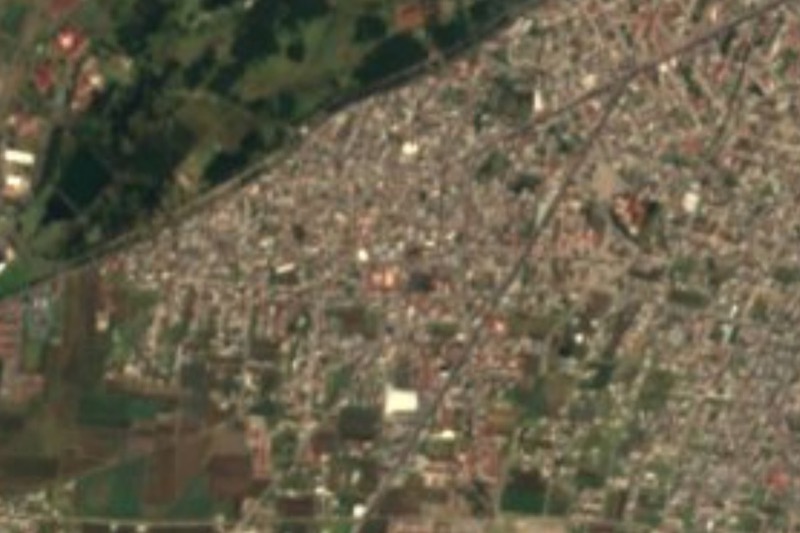
Santa María la Asunción is the second most populous locality in San Mateo Atenco, the State of Mexico municipality of just 12.58 sq km wedged against Toluca and Metepec in the Lerma basin. INEGI counted 7,681 residents here in 2020 (97,418 in the whole municipality), at about 2,580 metres. It is the place of that name in this municipality, not one of the other Santa María la Asunciones in Mexico, nor the neighbouring barrios of San Mateo itself.
The setting is Atenco, a Nahuatl word meaning at the water's edge: one of the lowest parts of the Toluca valley, where the Lerma river marks the eastern boundary and marshland remains. Two little-explored archaeological zones lie in the municipality, San Pedro Cuautenco and Espíritu Santo, and the Museo de las Culturas Lacustres del Valle de Toluca holds mammoth tusks and pieces from the peoples of the lake system.
According to the municipal monograph as summarised on Wikipedia, Santa María holds its feast twice a year: on 1 January and on 2 August, a date tied to the Assumption of Mary. San Mateo Atenco also stands out for its carnivals with mojigangas, its hand-made footwear industry, and 25 October, the day of Saints Crispin and Crispinian, patrons of shoemakers. The reed (tule) crafts and wooden chairs come from other barrios of the municipality.
How to get to Santa María la Asunción
Drive from Toluca: 15 min, 13 km
From Mexico City you reach Toluca by the México-Toluca road and the Paseo Tollocan, which the municipal monograph names as the main route into the municipality; from there continue on Av. Juárez, which crosses San Mateo Atenco north to south, or on Calle 2 de Abril, a direct road to Metepec. Toluca is about 11 km away in a straight line, roughly 20 to 30 minutes by road depending on traffic, and Metepec, the nearest Pueblo Mágico, is about 8 km (12 minutes by car, per Pueblos América).
By public transport, the El Insurgente train runs to Zinacantepec, and from Toluca there are local buses and taxis toward San Mateo Atenco; by long-distance bus, the Toluca terminal is the connection point. In Toluca there are taxis to the locality. Ask for the route to Santa María on Av. Juárez, since there is no published published line.
Directions to Santa María la Asunción on Google Maps
Distances are in a straight line; the road is usually longer.
Links open a partner site. We may earn a commission if you book, at no cost to you.
From the nearest cities to Santa María la Asunción
- Toluca · 13 km by road, 15 min
- Mexico City · 57 km by road, 1 h
- Cuernavaca · 76 km by road, 1 h 30 min
Drive times by road from OpenStreetMap, without traffic or stops. Times marked ~ are estimated from the straight-line distance.
Before you go to Santa María la Asunción: hours, prices and tips
- Best season
- The locality holds its feast on 1 January and 2 August; in San Mateo Atenco, 25 October is the day of San Crispín, patron of shoemakers. Wikipedia: Municipio de San Mateo Atenco · checked Oct 2026
Hours and prices change, especially around holidays. Each fact links to where we checked it.
Visiting Santa María la Asunción: what to see and do
Iglesia de Santa María, the heart of the locality
Feasts on 1 January and 2 August
Museo de las Culturas Lacustres del Valle de Toluca, with mammoth tusks
Hand-made footwear in San Mateo Atenco
Carnival with mojigangas and the San Crispín feast (25 October)
Ciénagas del Lerma wetlands, on the municipality's eastern edge
Plan your trip
Places to stay in Santa María la Asunción
Compare hotels, posadas, and rentals in and around Santa María la Asunción.
Tours & activities
Day trips and guided outings from Metepec often include Santa María la Asunción; with a local guide you can get there without a car.
Rental cars
Pick up a car at TLC (Toluca): about 17 min by road to Metepec, then 5 km more to Santa María la Asunción, on your own schedule.
Flights
The nearest airport with scheduled flights is Toluca (TLC), about 17 min by road from Metepec, the base for Santa María la Asunción.
Mobile data
Signal can drop away from Metepec: download a map of the way to Santa María la Asunción before you set out, or carry an eSIM with data.
Links open a partner site. We may earn a commission if you book, at no cost to you.
When to go to Santa María la Asunción cool
Santa María la Asunción shares the climate of Metepec, 5 km away. The best months to visit are January, February, March, and December.
See the month-by-month climate of Metepec
Weather in Santa María la Asunción now and the next 7 days
Live forecast from Open-Meteo. Chance of rain is the day's highest.
The closest Pueblo Mágico: Metepec

Metepec is the Pueblo Mágico closest to Santa María la Asunción, with places to stay, food, and more to see.
Also close to
- Malinalco · Estado de México · 36 km away
- Ixtapan de la Sal · Estado de México · 49 km away
- Villa del Carbón · Estado de México · 52 km away
- Tonatico · Estado de México · 53 km away
- Tepoztlán · Morelos · 57 km away
Closest to Santa María la Asunción
-
San Mateo Atenco · Town · 2 km away
-
San Gaspar Tlahuelilpan · Village · 3 km away
-
San Pedro Tultepec · Village · 4 km away
-
Isidro Fabela · Village · 5 km away
-
Amomolulco · Village · 7 km away
-
Chapultepec · Village · 7 km away
-
San Mateo Mexicaltzingo · Town · 7 km away
-
Santa Ana Tlapaltitlán · Village · 8 km away


Near Santa María la Asunción




Drive times by road from OpenStreetMap, without traffic. Times marked ~ are estimated from the straight-line distance.
Location from OpenStreetMap. Written by Puebloteca.