

Town Toluca, Estado de México Municipality of Toluca Toluca Valley
Old village south of Toluca at the foot of the Nevado: 18th-century churches, hacienda land turned ejido, and a community-run ecological park on the volcano.
From Toluca: 15 min by car (10 km by road) How to get there ↓
Near here
See everything nearby ↓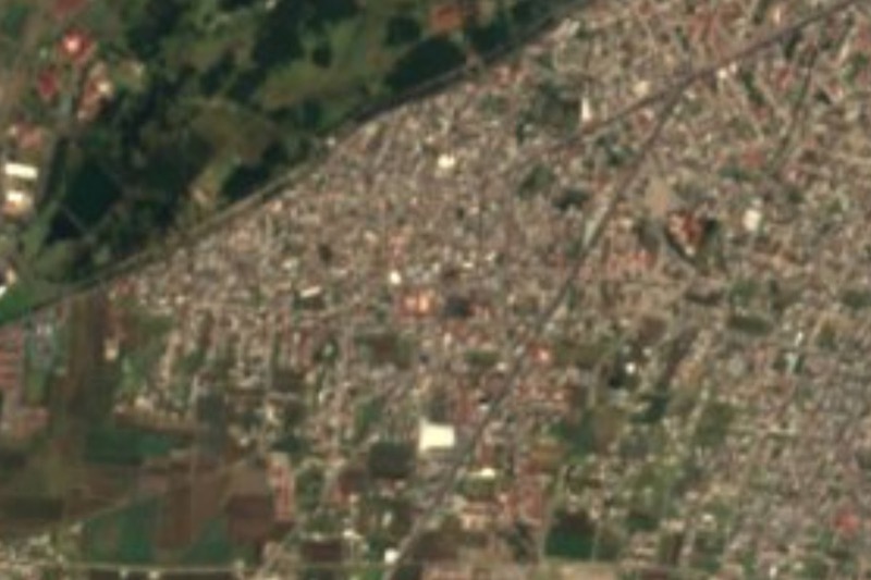


Plan your visit to Cacalomacán
Where to stay near Cacalomacán
Compare hotels, posadas and guest houses in Cacalomacán.
Tours to Cacalomacán
Day trips around Metepec sometimes stop in Cacalomacán; a tour is the easy way to see it without a car.
 Tours from Cuernavaca
3hr Cooking Class in Cuernavaca 8 Recipes and Bottomless Drinks
From US$59
How to get to Cacalomacán
- From Toluca: about 15 min by road (~10 km)
- Nearest airport: Toluca (TLC), 17 min by car to Metepec
Links open a partner site. We may earn a commission if you book, at no cost to you.
Tours from Cuernavaca, near Cacalomacán


Tours, prices and ratings from Viator, checked weekly. We may earn a commission if you book.
About Cacalomacán
Cacalomacán, Nahuatl for the place where crows are caught by hand, lies about 7 km south-west of Toluca and is now delegation number 22 of the municipality: 13,796 people in 2020 (12,001 in 2010), spread over nine barrios and several newer colonias. Its southern edge touches the Nevado de Toluca. A Matlatzinca settlement paid tribute to the Mexica; under the Spanish it was a república de indios, and in the 1500s haciendas took shape around it: San Antonio Abajo, La Garcesa and San Miguel Zacango. After the Revolution those estates lost land to the ejido, 277 ha from San Antonio Abajo in 1925 and another 606 in 1929.
The centre keeps vernacular architecture and a cluster of churches. The parish of the Asunción dates from the 18th century; San Francisco de Asís chapel stands in its atrium, and facing it is the Jesús Nazareno chapel, dated 1837, with neoclassical touches. There is also a cemetery chapel, a Guadalupe chapel and a humilladero at the southern end of Hidalgo street. Some civil buildings, the delegation among them, echo the portales of Toluca.
The other reason to come is the Parque Ecológico Ejidal de Cacalomacán: 240 hectares inside the Nevado de Toluca national park, roughly 2,800 to 3,250 m. The ejido pushed for it from 2003, on a volcanic cone reforested in the 1980s; a 2015 study logged 85 vertebrate species, 24 endemic to Mexico. Visitors hike, cycle, birdwatch and camp.
How to get to Cacalomacán
Drive from Toluca: 15 min, 10 km
From Mexico City: buses leave every few minutes from the Observatorio terminal (end of Metro Line 1) and from the Terminal Norte (Flecha Roja) for the Terminal de Toluca at Felipe Berriozábal 101, open 24 hours. By car, take the México-Toluca toll highway. Cacalomacán lies about 7 km south-west of central Toluca on the old Temascaltepec road (now Calzada del Pacífico), which links the capital with the south of the state; from Toluca allow about 15 to 20 minutes by car. From the Terminal de Toluca a taxi is the simplest way; there is no published published combi line for the village, so ask at the terminal. The ecological park, inside the Nevado de Toluca, is roughly half an hour from the city. Metepec is about 16 km away, around 22 minutes by car.
Directions to Cacalomacán on Google Maps
Distances are in a straight line; the road is usually longer.
Links open a partner site. We may earn a commission if you book, at no cost to you.
From the nearest cities to Cacalomacán
- Toluca · 10 km by road, 15 min
- Mexico City · 73 km by road, 1 h 15 min
- Zitácuaro · 89 km by road, 1 h 15 min
Drive times by road from OpenStreetMap, without traffic or stops. Times marked ~ are estimated from the straight-line distance.
Visiting Cacalomacán: what to see and do
Parish church of the Asunción (18th century) and San Francisco de Asís chapel in its atrium
Jesús Nazareno chapel (1837), opposite the parish
The village centre, with its vernacular buildings and the delegation hall
The humilladero and Guadalupe chapel in the south of the village
Parque Ecológico Ejidal de Cacalomacán on the slopes of the Nevado de Toluca: hiking, cycling, birdwatching and camping
Plan your trip
Places to stay in Cacalomacán
Compare hotels, posadas, and rentals in and around Cacalomacán.
Tours & activities
Day trips around Metepec sometimes stop in Cacalomacán; a tour is the easy way to see it without a car.
Rental cars
Pick up a car at TLC (Toluca): about 17 min by road to Metepec, then 11 km more to Cacalomacán, on your own schedule.
Flights
The nearest airport with scheduled flights is Toluca (TLC), about 17 min by road from Metepec, the base for Cacalomacán.
Mobile data
Signal can drop away from Metepec: download a map of the way to Cacalomacán before you set out, or carry an eSIM with data.
Links open a partner site. We may earn a commission if you book, at no cost to you.
When to go to Cacalomacán cool
Cacalomacán shares the climate of Metepec, 11 km away. The best months to visit are January, February, March, and December.
See the month-by-month climate of Metepec
Weather in Cacalomacán now and the next 7 days
Live forecast from Open-Meteo. Chance of rain is the day's highest.
The closest Pueblo Mágico: Metepec

Metepec is the Pueblo Mágico closest to Cacalomacán, with places to stay, food, and more to see.
Also close to
- Malinalco · Estado de México · 40 km away
- Valle de Bravo · Estado de México · 45 km away
- Ixtapan de la Sal · Estado de México · 46 km away
- Tonatico · Estado de México · 50 km away
- Villa del Carbón · Estado de México · 59 km away
Closest to Cacalomacán
-
San Antonio Buenavista · Village · 2 km away
-
Ex Convento de Zinacantepec · Landmark · 5 km away
-
San Mateo Oxtotitlán · Village · 5 km away
-
San Juan Tilapa · Village · 6 km away
-
San Juan de las Huertas · Village · 6 km away
-
Parque Estatal Sierra Morelos · Nature reserve · 7 km away
-
San Felipe Tlalmimilolpan · Town · 7 km away
-
San Marcos Yachihuacaltepec · Village · 8 km away


Near Cacalomacán


Drive times by road from OpenStreetMap, without traffic. Times marked ~ are estimated from the straight-line distance.
Location from OpenStreetMap. Written by Puebloteca.