

Village Zinacantepec, Estado de México Municipality of Zinacantepec Toluca Valley
Potato-growing village in Zinacantepec at 2,862 m, 14,230 people, with a San Juan fiesta on 24 June and a potato fair every October.
From Toluca: 15 min by car (16 km by road) How to get there ↓
Near here
See everything nearby ↓



Plan your visit to San Juan de las Huertas
Where to stay near San Juan de las Huertas
Compare hotels, posadas and guest houses in San Juan de las Huertas.
Tours to San Juan de las Huertas
Day trips and guided outings from Metepec often include San Juan de las Huertas; with a local guide you can get there without a car.
 Tours from Cuernavaca
3hr Cooking Class in Cuernavaca 8 Recipes and Bottomless Drinks
From US$59
How to get to San Juan de las Huertas
- From Toluca: about 15 min by road (~16 km)
- Nearest airport: Toluca (TLC), 17 min by car to Metepec
Links open a partner site. We may earn a commission if you book, at no cost to you.
Tours from Cuernavaca, near San Juan de las Huertas


Tours, prices and ratings from Viator, checked weekly. We may earn a commission if you book.
About San Juan de las Huertas
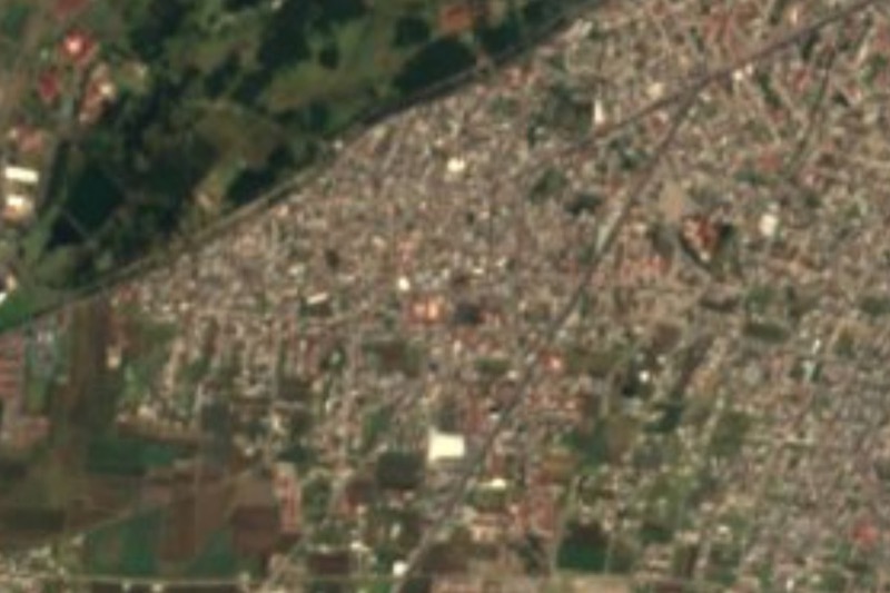
Potatoes, maize, fava beans, barley and peas grow around San Juan de las Huertas, and each October the village throws a Feria de la Papa: the fourth, in 2025, had dancing horses, ribbon races, children's escaramuza riders and a jaripeo, and this year's was the fifth. At 2,862 m, it is one of the big villages of Zinacantepec, with 14,230 people in 2020 (INEGI), about 4 km from the municipal seat and about 12 km from Toluca.
Spanish Wikipedia puts its founding in 1603 and says it was once called San Juan Cuauxocotla, roughly "place by the tejocote grove"; "de las Huertas" refers to the many fruit trees around it. The old Camino Real from Toluca south toward the Sultepec mines ran through, and what was the royal road is now calle Porfirio Díaz. A station on the Toluca–Tenango del Valle railway once stood where the kiosk is today. In October 1914 Governor Gustavo Baz Prada signed the surrender of the state government to the Constitutionalist army here, in a private house.
There are two feasts of Saint John the Baptist, 24 June (his birth) and 29 August (his martyrdom); the June one comes with a fair and rides. The church of San Isidro Labrador stands on the road to Tejalpa.
How to get to San Juan de las Huertas
Drive from Toluca: 15 min, 16 km
From Toluca, the Xinantécatl route "Puente Pilares via Terminal Toluca to San Juan de las Huertas" covers 19.4 km in about 65 minutes without traffic, roughly every 5 minutes at 14 pesos cash (MisRutas directory data, GTFS feed of July 2026). It runs along Paseo Tollocan, Venustiano Carranza and Calzada al Pacífico and ends at Morelos and Hidalgo. Other Xinantécatl lines run from Calixtlahuaca and to Puerta Tollotzin. During the 2026 Feria del Alfeñique the AlfeñiqueBus also leaves the Toluca terminal (Andén 1, green, via San Luis Mextepec and Zinacantepec).
By car it is about 12 km in a straight line from Toluca toward Zinacantepec, roughly 15 to 25 minutes; the village is about 4 km from the municipal seat, near the middle of the municipality. From Mexico City, take the El Insurgente train to Zinacantepec station (the western terminus, opened September 2023) and continue by bus or taxi. Metepec, the nearest pueblo on our list, is about 17 km away in a straight line.
Directions to San Juan de las Huertas on Google Maps
Distances are in a straight line; the road is usually longer.
Links open a partner site. We may earn a commission if you book, at no cost to you.
From the nearest cities to San Juan de las Huertas
- Toluca · 16 km by road, 15 min
- Zitácuaro · 87 km by road, 1 h 10 min
- Mexico City · 79 km by road, 1 h 20 min
Drive times by road from OpenStreetMap, without traffic or stops. Times marked ~ are estimated from the straight-line distance.
Before you go to San Juan de las Huertas: hours, prices and tips
- Best time of day
- The main fiesta is 24 June (the second, on 29 August); the Feria de la Papa is held in October (fifth edition in 2026). Wikipedia; Entidad MX; Diario Puntual · checked Oct 2026
Hours and prices change, especially around holidays. Each fact links to where we checked it.
Visiting San Juan de las Huertas: what to see and do
Go in October for the Feria de la Papa, with potato dishes, charreada and escaramuza riding.
Walk calle Porfirio Díaz, the old Camino Real toward Sultepec, and the plaza kiosk where the railway station stood.
Step into the parish of San Juan Bautista and the church of San Isidro Labrador on the Tejalpa road.
Join the 24 June fiesta, with a fair and rides.
Look at the potato and maize fields around the village.
Plan your trip
Places to stay in San Juan de las Huertas
Compare hotels, posadas, and rentals in and around San Juan de las Huertas.
Tours & activities
Day trips and guided outings from Metepec often include San Juan de las Huertas; with a local guide you can get there without a car.
Rental cars
Pick up a car at TLC (Toluca): about 17 min by road to Metepec, then 17 km more to San Juan de las Huertas, on your own schedule.
Flights
The nearest airport with scheduled flights is Toluca (TLC), about 17 min by road from Metepec, the base for San Juan de las Huertas.
Mobile data
Signal can drop away from Metepec: download a map of the way to San Juan de las Huertas before you set out, or carry an eSIM with data.
Links open a partner site. We may earn a commission if you book, at no cost to you.
When to go to San Juan de las Huertas cool
San Juan de las Huertas shares the climate of Metepec, 17 km away. The best months to visit are January, February, March, and December.
See the month-by-month climate of Metepec
Weather in San Juan de las Huertas now and the next 7 days
Live forecast from Open-Meteo. Chance of rain is the day's highest.
The closest Pueblo Mágico: Metepec

Metepec is the Pueblo Mágico closest to San Juan de las Huertas, with places to stay, food, and more to see.
Also close to
- Valle de Bravo · Estado de México · 40 km away
- Malinalco · Estado de México · 43 km away
- Ixtapan de la Sal · Estado de México · 46 km away
- Tonatico · Estado de México · 50 km away
- Villa del Carbón · Estado de México · 62 km away
Closest to San Juan de las Huertas
-
Ex Convento de Zinacantepec · Landmark · 5 km away
-
Cacalomacán · Town · 6 km away
-
San Antonio Buenavista · Village · 7 km away
-
San Mateo Oxtotitlán · Village · 9 km away
-
Parque Estatal Sierra Morelos · Nature reserve · 10 km away
-
Raíces · Village · 11 km away
-
San Juan Tilapa · Village · 11 km away
-
Zona Arqueológica de Calixtlahuaca · Archaeological site · 11 km away


Near San Juan de las Huertas


Drive times by road from OpenStreetMap, without traffic. Times marked ~ are estimated from the straight-line distance.
Location from OpenStreetMap. Written by Puebloteca.