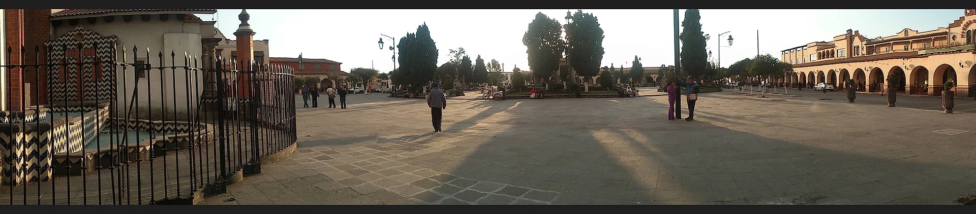
Village Almoloya de Juárez, Estado de México Toluca Valley
Housing development in Almoloya de Juárez that grew from 1,693 to 11,505 residents in fifteen years; no sights of its own, 2 km from Almoloya's centre.
From Toluca: 15 min by car (17 km by road) How to get there ↓
Near here
See everything nearby ↓


Plan your visit to Colinas del Sol
Where to stay near Colinas del Sol
Compare hotels, posadas and guest houses in Colinas del Sol.
Tours to Colinas del Sol
Day trips and guided outings from Metepec often include Colinas del Sol; with a local guide you can get there without a car.
 Tours from Mexico City
Teotihuacan pyramids morning or afternoon without tourist traps
★ 4.9 (10,269) · From US$59
How to get to Colinas del Sol
- From Toluca: about 15 min by road (~17 km)
- Nearest airport: Toluca (TLC), 17 min by car to Metepec
Links open a partner site. We may earn a commission if you book, at no cost to you.
Tours from Mexico City, near Colinas del Sol


Tours, prices and ratings from Viator, checked weekly. We may earn a commission if you book.
About Colinas del Sol
Colinas del Sol is a locality of Almoloya de Juárez that INEGI lists as a fraccionamiento, a housing development rather than an old village. The numbers tell the story: 1,693 residents in 2005, 6,640 in 2010 and 11,505 in 2020, making it the municipality's third most populous locality, behind San Francisco Tlalcilalcalpan (17,235) and Santiaguito Tlalcilalcalli (11,746). It stands at about 2,615 m in a temperate highland climate: 13.3 °C annual average and roughly 1,250 mm of rain.
To be plain about it, there are no monuments, historic church, traditional market or sights to visit. There is no published sources on a square, festivals of its own or tourist trade, and I will not make any up. What it does have is position. It lies about 2 km south of the village of Almoloya de Juárez, the municipal seat with 3,021 inhabitants, and that closeness is the practical reason to come.
Almoloya is where the visitable things are: the baroque sanctuary of San Pedro del Ojo de Agua and the spring it is named for, the Ignacio Ramírez reservoir with its Isla de los Patos, the hacienda La Gavia dating to 1539, and the feast of San José on 19 March. Colinas del Sol is better read as a reference point for people staying, working or visiting someone in this part of the Toluca valley.
How to get to Colinas del Sol
Drive from Toluca: 15 min, 17 km
From Mexico City: buses leave every few minutes from the Observatorio terminal (end of Metro Line 1) and from the Terminal Norte (Flecha Roja) for the Terminal de Toluca at Felipe Berriozábal 101, open 24 hours. By car, take the México-Toluca toll highway. Colinas del Sol is in the municipality of Almoloya de Juárez, about 12 km straight-line north-west of central Toluca: roughly 20 to 30 minutes by car. According to Wikivoyage, you reach Almoloya de Juárez from Toluca by taxi or bus; the village is about 2 km north of the development, so it is a few more minutes from there. Pueblos América puts it at about 33 km and 40 minutes from Metepec. There is no published public transport line specific to Colinas del Sol.
Directions to Colinas del Sol on Google Maps
Distances are in a straight line; the road is usually longer.
Links open a partner site. We may earn a commission if you book, at no cost to you.
From the nearest cities to Colinas del Sol
- Toluca · 17 km by road, 15 min
- Zitácuaro · 74 km by road, 1 h
- Mexico City · 87 km by road, 1 h 20 min
Drive times by road from OpenStreetMap, without traffic or stops. Times marked ~ are estimated from the straight-line distance.
Visiting Colinas del Sol: what to see and do
Colinas del Sol has no sights of its own; the visitable things are in Almoloya de Juárez
Sanctuary of San Pedro del Ojo de Agua and its spring, in Almoloya
Ignacio Ramírez reservoir and the Isla de los Patos
La Gavia hacienda, dating to 1539
Feast of San José in Almoloya village, 19 March
Plan your trip
Places to stay in Colinas del Sol
Compare hotels, posadas, and rentals in and around Colinas del Sol.
Tours & activities
Day trips and guided outings from Metepec often include Colinas del Sol; with a local guide you can get there without a car.
Rental cars
Pick up a car at TLC (Toluca): about 17 min by road to Metepec, then 20 km more to Colinas del Sol, on your own schedule.
Flights
The nearest airport with scheduled flights is Toluca (TLC), about 17 min by road from Metepec, the base for Colinas del Sol.
Mobile data
Signal can drop away from Metepec: download a map of the way to Colinas del Sol before you set out, or carry an eSIM with data.
Links open a partner site. We may earn a commission if you book, at no cost to you.
When to go to Colinas del Sol cool
Colinas del Sol shares the climate of Metepec, 20 km away. The best months to visit are January, February, March, and December.
See the month-by-month climate of Metepec
Weather in Colinas del Sol now and the next 7 days
Live forecast from Open-Meteo. Chance of rain is the day's highest.
The closest Pueblo Mágico: Metepec

Metepec is the Pueblo Mágico closest to Colinas del Sol, with places to stay, food, and more to see.
Also close to
- Valle de Bravo · Estado de México · 46 km away
- Villa del Carbón · Estado de México · 49 km away
- Malinalco · Estado de México · 53 km away
- Ixtapan de la Sal · Estado de México · 59 km away
- Angangueo · Michoacán · 63 km away
Closest to Colinas del Sol
-
Almoloya de Juárez · Village · 2 km away
-
San Martín Toltepec · Village · 4 km away
-
Zona Arqueológica de Calixtlahuaca · Archaeological site · 7 km away
-
Parque Estatal Sierra Morelos · Nature reserve · 8 km away
-
San Marcos Yachihuacaltepec · Village · 8 km away
-
Ex Convento de Zinacantepec · Landmark · 10 km away
-
San Mateo Oxtotitlán · Village · 10 km away
-
San Antonio Buenavista · Village · 13 km away

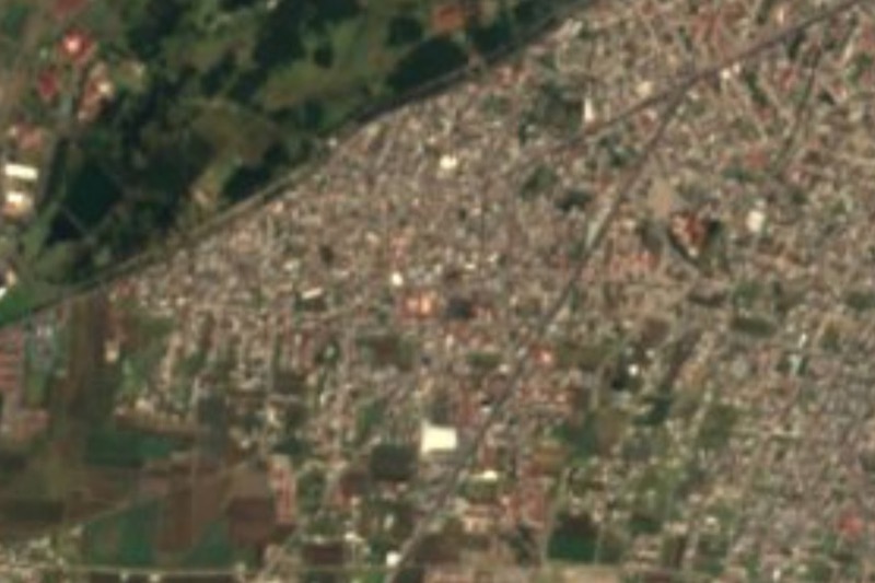
Near Colinas del Sol


Drive times by road from OpenStreetMap, without traffic. Times marked ~ are estimated from the straight-line distance.
Location from OpenStreetMap. Written by Puebloteca.