

Village Ixtlahuaca, Estado de México Municipality of Ixtlahuaca Northern Estado de México
A colony of about 2,255 people next to Ixtlahuaca de Rayón, at 2,540 m, on the Toluca-Atlacomulco corridor; not to be confused with namesakes elsewhere.
From Toluca: 30 min by car (37 km by road) How to get there ↓
Near here
See everything nearby ↓



Plan your visit to San Francisco de Asís
Where to stay near San Francisco de Asís
Compare hotels, posadas and guest houses in San Francisco de Asís.
Tours to San Francisco de Asís
Day trips and guided outings from Villa del Carbón often include San Francisco de Asís; with a local guide you can get there without a car.
 Tours from Mexico City
Teotihuacan pyramids morning or afternoon without tourist traps
★ 4.9 (10,269) · From US$59
How to get to San Francisco de Asís
- From Toluca: about 30 min by road (~37 km)
- Nearest airport: Toluca (TLC), 1 h 12 min by car to Villa del Carbón
Links open a partner site. We may earn a commission if you book, at no cost to you.
Tours from Mexico City, near San Francisco de Asís


Tours, prices and ratings from Viator, checked weekly. We may earn a commission if you book.
About San Francisco de Asís
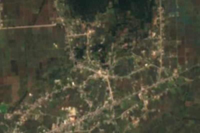
This San Francisco de Asís is a colony in the municipality of Ixtlahuaca, in the north of the State of Mexico, and not the namesake in Villa de Allende or those in other states. INEGI recorded 2,255 residents in 2020. It sits at about 2,540 metres, less than 2 km northeast of the centre of Ixtlahuaca de Rayón, the municipal seat, and the list of communities under the seat's jurisdiction includes it as Colonia San Francisco de Asís. In practice it is part of the urban area growing around that city, not a separate village with sights of its own.
That makes it best understood as a doorway into Ixtlahuaca, which has more to tell. The original Mazahua town stood about 6 km to the east; in 1545 it was decided to move the centre so a parish church of its own could be built, finished in 1552. Ixtlahuaca became a city in 1992. General Manuel Mondragón, designer of the rifle that bears his name, was born here, and on 18 September 1858 the Battle of Ixtlahuaca between liberals and conservatives was fought in the Reform War. Francisco López Rayón was shot beside the municipal palace in 1815.
Commerce is what drives the region: the Monday tianguis market has been the engine of the city's growth, and there is a municipal market and a bus terminal. The municipality also holds the Hacienda La Purísima. Wikimedia photos show a Templo de San Francisco de Asís listed as a monument about 1.8 km away, in Ixtlahuaca.
How to get to San Francisco de Asís
Drive from Toluca: 30 min, 37 km
The colony is about 30 km from Toluca (Wikipedia gives that approximate distance between the municipality and the state capital) on the Toluca-Atlacomulco corridor that runs through Ixtlahuaca; allow roughly 40 minutes from Toluca. From Mexico City the normal way is to reach Toluca first and continue north to Ixtlahuaca de Rayón; the colony is under 2 km northeast of its centre, a short taxi ride or walk from the plaza.
By bus, Ixtlahuaca has a bus terminal (Wikipedia), with service from Toluca; ask there about combi or taxi routes to the colony. Villa del Carbón, the nearest Pueblo Mágico, is about 36 km away according to Pueblos América (40 minutes by car).
Directions to San Francisco de Asís on Google Maps
Distances are in a straight line; the road is usually longer.
Links open a partner site. We may earn a commission if you book, at no cost to you.
From the nearest cities to San Francisco de Asís
- Toluca · 37 km by road, 30 min
- Zitácuaro · 100 km by road, 1 h 15 min
- Mexico City · 104 km by road, 1 h 30 min
Drive times by road from OpenStreetMap, without traffic or stops. Times marked ~ are estimated from the straight-line distance.
Before you go to San Francisco de Asís: hours, prices and tips
- Hours
- Ixtlahuaca's tianguis market runs on Mondays. Wikipedia: Ixtlahuaca de Rayón · checked Oct 2026
Hours and prices change, especially around holidays. Each fact links to where we checked it.
Visiting San Francisco de Asís: what to see and do
Ixtlahuaca's Monday tianguis, the region's commercial engine
Parish church and historic centre of Ixtlahuaca de Rayón, under 2 km away
Municipal palace, where Francisco López Rayón was shot
Templo de San Francisco de Asís, listed as a monument, in Ixtlahuaca
Ixtlahuaca municipal market
Plan your trip
Places to stay in San Francisco de Asís
Compare hotels, posadas, and rentals in and around San Francisco de Asís.
Tours & activities
Day trips and guided outings from Villa del Carbón often include San Francisco de Asís; with a local guide you can get there without a car.
Rental cars
Pick up a car at TLC (Toluca): about 1 h 12 min by road to Villa del Carbón, then 35 km more to San Francisco de Asís, on your own schedule.
Flights
The nearest airport with scheduled flights is Toluca (TLC), about 1 h 12 min by road from Villa del Carbón, the base for San Francisco de Asís.
Mobile data
Signal can drop away from Villa del Carbón: download a map of the way to San Francisco de Asís before you set out, or carry an eSIM with data.
Links open a partner site. We may earn a commission if you book, at no cost to you.
When to go to San Francisco de Asís cool
San Francisco de Asís shares the climate of Villa del Carbón, 35 km away. The best months to visit are January, February, March, and December.
See the month-by-month climate of Villa del Carbón
Weather in San Francisco de Asís now and the next 7 days
Live forecast from Open-Meteo. Chance of rain is the day's highest.
The closest Pueblo Mágico: Villa del Carbón

Villa del Carbón is the Pueblo Mágico closest to San Francisco de Asís, with places to stay, food, and more to see.
Also close to
- Metepec · Estado de México · 40 km away
- El Oro · Estado de México · 47 km away
- Jilotepec · Estado de México · 48 km away
- Tlalpujahua · Michoacán · 51 km away
- Angangueo · Michoacán · 56 km away
Closest to San Francisco de Asís
-
Ixtlahuaca de Rayón · Town · 2 km away
-
San Miguel Enyege · Village · 11 km away
-
San Felipe y Santiago · Village · 12 km away
-
Ciudad de Jocotitlán · Town · 15 km away
-
San Bartolo Oxtotitlán · Village · 15 km away
-
Jiquipilco · Town · 16 km away
-
Jocotitlán · Mountain · 18 km away
-
Temoaya · Village · 21 km away


Near San Francisco de Asís


Drive times by road from OpenStreetMap, without traffic. Times marked ~ are estimated from the straight-line distance.
Location from OpenStreetMap. Written by Puebloteca.