Village Morelos, Estado de México Northern Estado de México
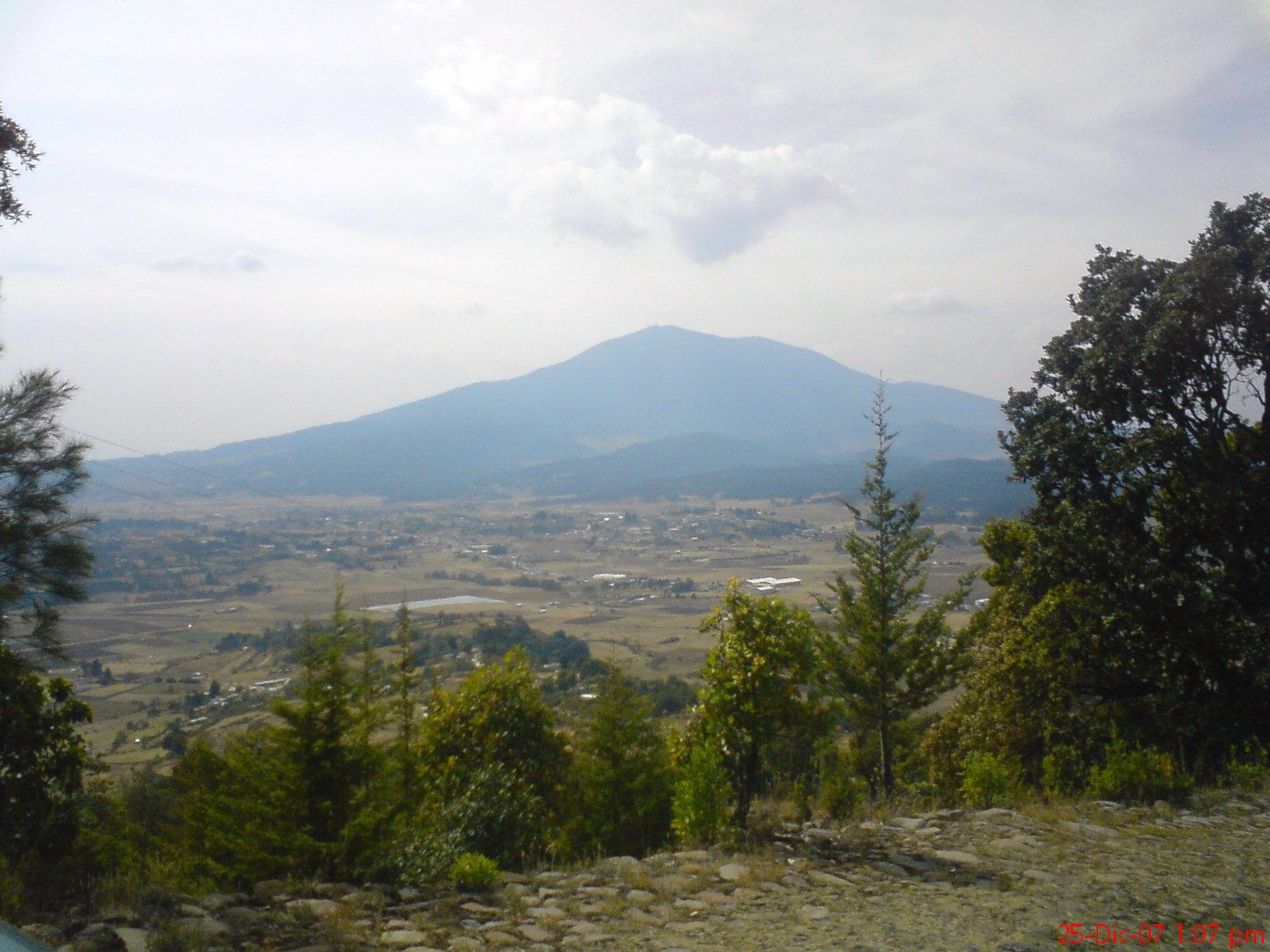
Seat of Morelos municipality in northern Edomex: a plaza with the San Bartolomé church, wooded hills and a giant Morelos statue on Las Peñitas.
From Toluca: 55 min by car (67 km by road) How to get there ↓
Near here
See everything nearby ↓
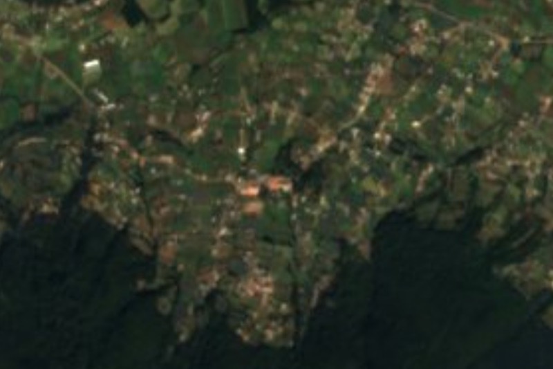


Plan your visit to San Bartolo Morelos
Where to stay near San Bartolo Morelos
Compare hotels, posadas and guest houses in San Bartolo Morelos.
Tours to San Bartolo Morelos
Day trips and guided outings from Villa del Carbón often include San Bartolo Morelos; with a local guide you can get there without a car.
 Tours from Mexico City
Teotihuacan pyramids morning or afternoon without tourist traps
★ 4.9 (10,269) · From US$59
How to get to San Bartolo Morelos
- From Toluca: about 55 min by road (~67 km)
- Nearest airport: Toluca (TLC), 1 h 12 min by car to Villa del Carbón
Links open a partner site. We may earn a commission if you book, at no cost to you.
Tours from Mexico City, near San Bartolo Morelos


Tours, prices and ratings from Viator, checked weekly. We may earn a commission if you book.
About San Bartolo Morelos
San Bartolo Morelos is the seat of Morelos municipality in the northwest of the State of Mexico; it has nothing to do with the state of Morelos. It sits at 2,729 m, and INEGI counted 1,981 residents here in 2020. It began as an Otomí settlement, and its older Nahuatl name comes from nochtli, prickly pear: "where tunas are plentiful". In 1572 it was granted 600 varas measured from the church toward the four compass points; in colonial times it was San Bartolomé de las Tunas, and on 8 October 1874 it was made a municipality as San Bartolomé de Morelos. The present name came after the Revolution.
A visit here is slow and simple. The road climbs into town past tiled-roof houses with wooden gates, and cobbled streets lead to the plaza with the church, the arch that frames it, the atrial cross, a few small portales and the Palacio Municipal. Behind town rises Cerro de La Bufa, covered in pine, with the lookouts La Peñuela and El Mirador. The thing you see from far off is the monumental statue of José María Morelos y Pavón on top of Cerro Las Peñitas.
Farming and cattle are the main livelihoods, and in the Otomí areas people still make pottery, tools and household ware, and woollen weaving. The municipal monograph suggests rounding out the day at the El Tigre dam, Boxheguí park and the Las Chichipicas spring, or at the old hacienda houses of Santa Cruz and La Epifanía and the colonial church of San Gregorio Macapexco.
How to get to San Bartolo Morelos
Drive from Toluca: 55 min, 67 km
San Bartolo Morelos lies in the northwest of the State of Mexico, about 22 km in a straight line from Villa del Carbón and about 55 km from Toluca. By road expect more: roughly 1 hour from Toluca (an estimate). There is no published published bus or colectivo timetables, so ask at the Toluca or Atlacomulco terminals about the route to Morelos. The municipality borders Chapa de Mota, Villa del Carbón, Timilpan, Jiquipilco, Atlacomulco and Jocotitlán and belongs to the Atlacomulco region; the last stretch climbs a hill up to the plaza. The municipality has a temperate climate, semi-cold in winter, with a 15 °C annual mean.
Directions to San Bartolo Morelos on Google Maps
Distances are in a straight line; the road is usually longer.
Links open a partner site. We may earn a commission if you book, at no cost to you.
From the nearest cities to San Bartolo Morelos
- Toluca · 67 km by road, 55 min
- San Juan del Río · 94 km by road, 1 h 40 min
- Zitácuaro · 129 km by road, 1 h 40 min
Drive times by road from OpenStreetMap, without traffic or stops. Times marked ~ are estimated from the straight-line distance.
Visiting San Bartolo Morelos: what to see and do
Walk the plaza: the church of San Bartolomé Apóstol, its arch, the atrial cross and the portales.
Spot the monumental Morelos statue on Cerro Las Peñitas.
Climb Cerro de La Bufa and its lookouts La Peñuela and El Mirador, among pines.
Visit the El Tigre dam, Boxheguí park or the Las Chichipicas spring.
See the colonial church of San Gregorio Macapexco and the hacienda houses of Santa Cruz and La Epifanía.
Plan your trip
Places to stay in San Bartolo Morelos
Compare hotels, posadas, and rentals in and around San Bartolo Morelos.
Tours & activities
Day trips and guided outings from Villa del Carbón often include San Bartolo Morelos; with a local guide you can get there without a car.
Rental cars
Pick up a car at TLC (Toluca): about 1 h 12 min by road to Villa del Carbón, then 22 km more to San Bartolo Morelos, on your own schedule.
Flights
The nearest airport with scheduled flights is Toluca (TLC), about 1 h 12 min by road from Villa del Carbón, the base for San Bartolo Morelos.
Mobile data
Signal can drop away from Villa del Carbón: download a map of the way to San Bartolo Morelos before you set out, or carry an eSIM with data.
Links open a partner site. We may earn a commission if you book, at no cost to you.
When to go to San Bartolo Morelos cool
San Bartolo Morelos shares the climate of Villa del Carbón, 22 km away. The best months to visit are January, February, March, and December.
See the month-by-month climate of Villa del Carbón
Weather in San Bartolo Morelos now and the next 7 days
Live forecast from Open-Meteo. Chance of rain is the day's highest.
The closest Pueblo Mágico: Villa del Carbón

Villa del Carbón is the Pueblo Mágico closest to San Bartolo Morelos, with places to stay, food, and more to see.
Also close to
- Jilotepec · Estado de México · 23 km away
- Aculco · Estado de México · 42 km away
- Tepotzotlán · Estado de México · 47 km away
- El Oro · Estado de México · 49 km away
- Tlalpujahua · Michoacán · 53 km away
Closest to San Bartolo Morelos
-
Bioparque Estrella · Landmark · 9 km away
-
San Juan Tuxtepec · Village · 9 km away
-
Jocotitlán · Mountain · 11 km away
-
San Andrés Timilpan · Town · 11 km away
-
Chapa de Mota · Town · 15 km away
-
Ciudad de Jocotitlán · Town · 15 km away
-
México Chiquito · Nature reserve · 15 km away
-
Presa Danxhó · Lake · 15 km away
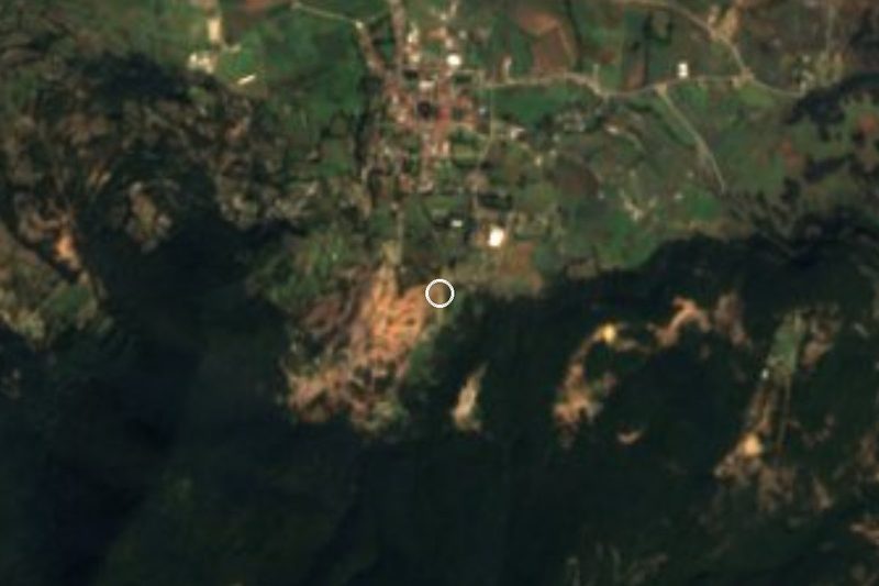
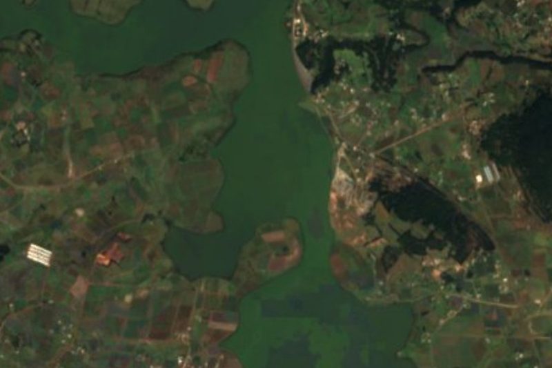
Near San Bartolo Morelos
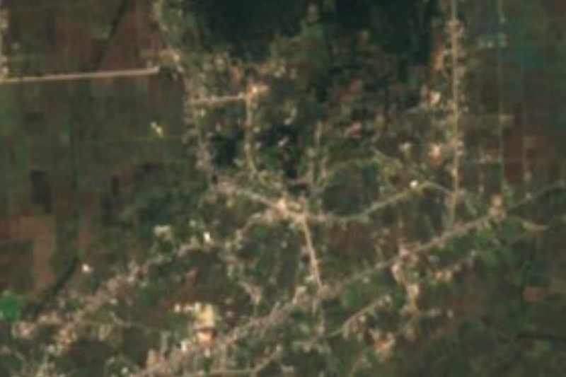


Drive times by road from OpenStreetMap, without traffic. Times marked ~ are estimated from the straight-line distance.
Location from OpenStreetMap. Written by Puebloteca.