Town Timilpan, Estado de México Northern Estado de México
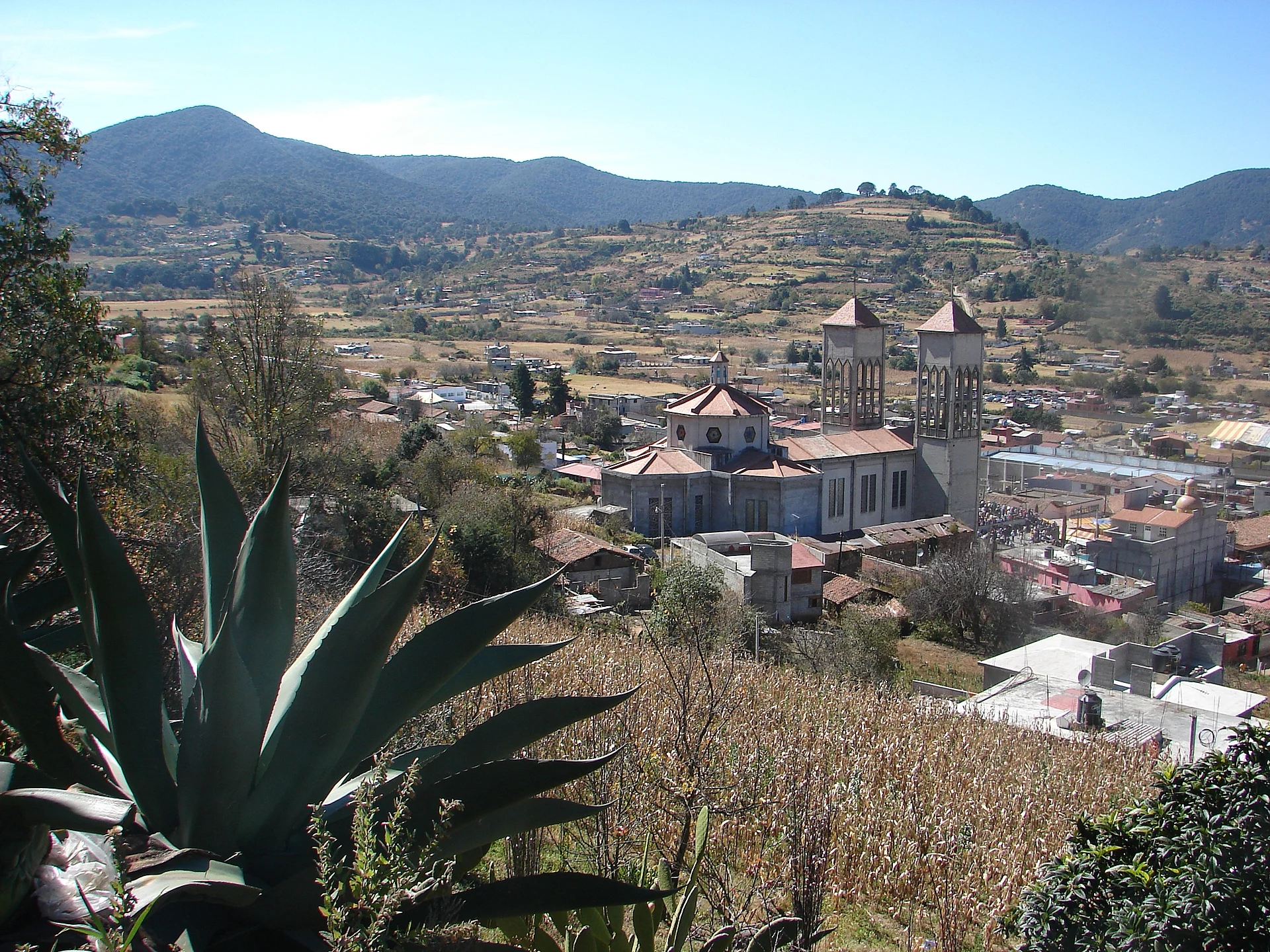
A small Otomí seat at the foot of the San Andrés hills, above the Huapango reservoir valley; feast of Saint Andrew on 30 November and "chito" barbacoa.
From Toluca: 1 h 15 min by car (80 km by road) How to get there ↓
Near here
See everything nearby ↓



Plan your visit to San Andrés Timilpan
Where to stay near San Andrés Timilpan
Compare hotels, posadas and guest houses in San Andrés Timilpan.
Tours to San Andrés Timilpan
Day trips around Jilotepec sometimes stop in San Andrés Timilpan; a tour is the easy way to see it without a car.
 Tours from Mexico City
Teotihuacan pyramids morning or afternoon without tourist traps
★ 4.9 (10,269) · From US$59
How to get to San Andrés Timilpan
- From Toluca: about 1 h 15 min by road (~80 km)
- Nearest airport: Mexico City (Felipe Ángeles) (NLU), 1 h 20 min by car to Jilotepec
Links open a partner site. We may earn a commission if you book, at no cost to you.
Tours from Mexico City, near San Andrés Timilpan


Tours, prices and ratings from Viator, checked weekly. We may earn a commission if you book.
About San Andrés Timilpan
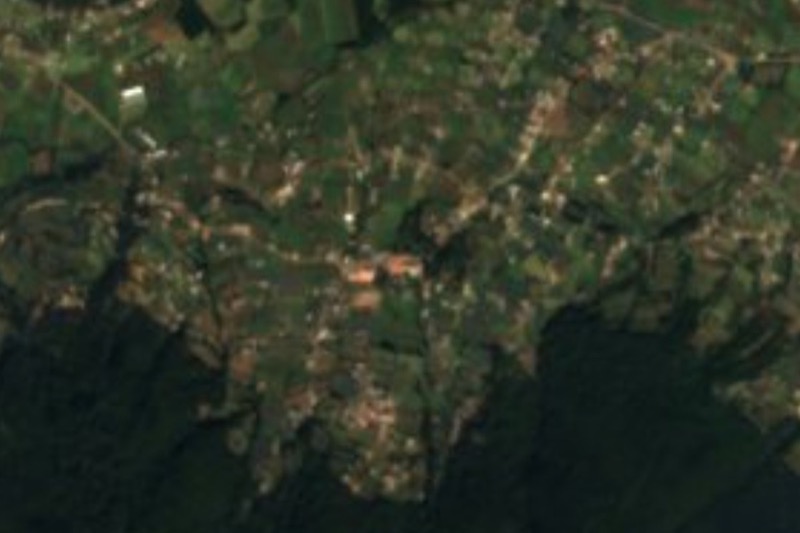
San Andrés Timilpan is a small place, with 794 people in 2020, though it is the seat of a municipality of more than 15,000 in the north of the State of Mexico, between Jilotepec, Aculco, Acambay, Atlacomulco and Chapa de Mota. It sits at about 2,770 m against the Sierra de San Andrés Timilpan, whose hills wrap around it in a horseshoe and open to the north onto a broad valley that was once a lake; what remains of that water is held in the Huapango and La Huaracha reservoirs. The Nahuatl name translates as "in the stony cornfield".
This was Otomí land, subject to Xilotepec, the seat of Otomí power in the region. Franciscans from the Jilotepec friary, founded in 1529, built the first chapels around here, and the first recorded land grant in San Andrés is dated 24 December 1591. In 1889 the whole municipality had 3,035 inhabitants growing maize, wheat, barley, peas and fava beans.
There are no grand monuments. What there is to see is the church of San Andrés Apóstol, the town hall and the cultural centre, and out in the countryside the chapel of the former Huapango hacienda and the old colonial-looking houses of Santiaguito Maxdá. The Huapango reservoir irrigates land in six municipalities and parts of Hidalgo and Querétaro. The big event is the feast of Saint Andrew on 30 November, after a novena that starts on the 22nd: an 8 am Mass, dances by santiagueros and arrieros, and a fair with livestock, crafts and a dance. To eat, try the local barbacoa, called "chito" here, with pulque.
How to get to San Andrés Timilpan
Drive from Toluca: 1 h 15 min, 80 km
From Mexico City take the México–Querétaro highway (57) to the Jilotepec exit, then the Jilotepec–Ixtlahuaca road southwest for about 20 km through hills and farmland to the Timilpan turn. From the Terminal Norte it is about 110 km, roughly 1 hour 50 minutes. Jilotepec, the nearest of our pueblos, is about 28 km away, roughly 40 minutes. From Atlacomulco it is about 35 km via the Arco Norte and the Ixtlahuaca–Jilotepec road, roughly 35 minutes.
There is no direct bus from the capital: Autovías La Línea and Pegasso run from the Terminal Central del Norte to Jilotepec (about 1 hour 40 to 50 minutes, a few departures a day), and local buses leave Jilotepec along the Ixtlahuaca road every 15 to 20 minutes, about 40 minutes; taxis are also available.
Directions to San Andrés Timilpan on Google Maps
Distances are in a straight line; the road is usually longer.
Links open a partner site. We may earn a commission if you book, at no cost to you.
From the nearest cities to San Andrés Timilpan
- Toluca · 80 km by road, 1 h 15 min
- San Juan del Río · 80 km by road, 1 h 25 min
- Ciudad Hidalgo · 127 km by road, 1 h 50 min
Drive times by road from OpenStreetMap, without traffic or stops. Times marked ~ are estimated from the straight-line distance.
Before you go to San Andrés Timilpan: hours, prices and tips
- Best season
- Feast of San Andrés Apóstol on 30 November, with a novena from the 22nd, santiaguero and arriero dances and a fair. Holy Week brings a Palm Sunday procession and Stations of the Cross on Good Friday. Enciclopedia de los Municipios de México (INAFED) · checked Oct 2026
Hours and prices change, especially around holidays. Each fact links to where we checked it.
Visiting San Andrés Timilpan: what to see and do
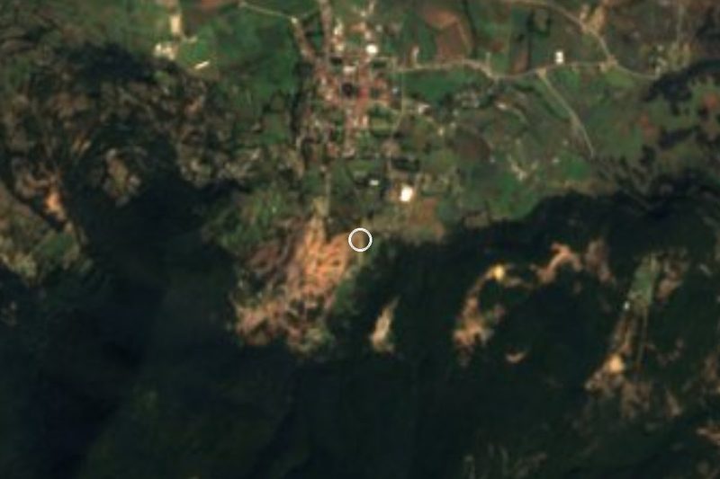
The church of San Andrés Apóstol in town.
The town hall and cultural centre.
The chapel of the former Huapango hacienda.
The old colonial-style houses of Santiaguito Maxdá.
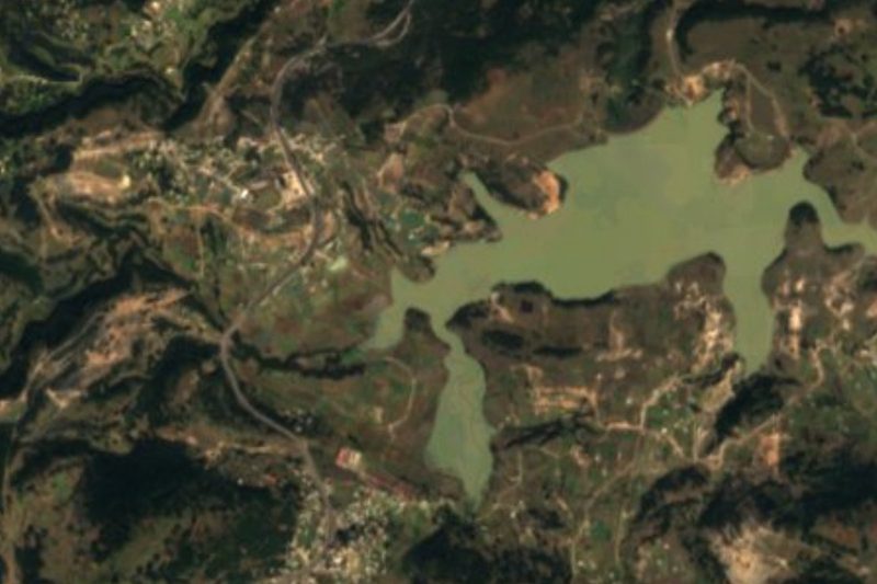
The Huapango reservoir valley north of town.
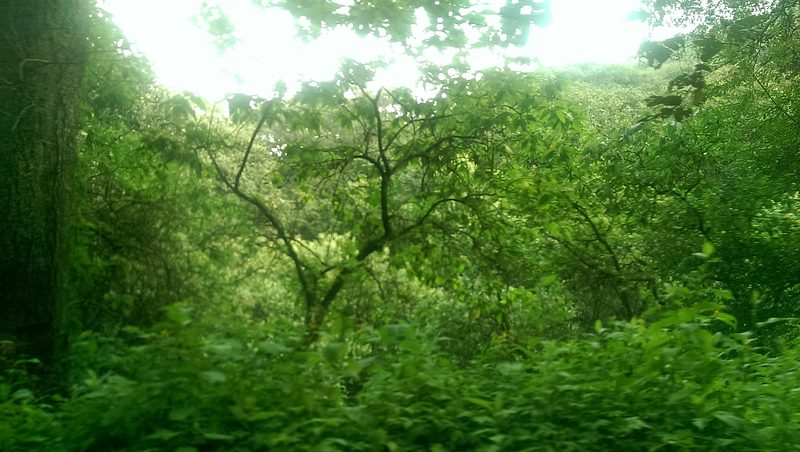
El Ocotal recreation park, with a hotel and cabins, on the communal lands of Santiaguito Maxdá.
Plan your trip
Places to stay in San Andrés Timilpan
Compare hotels, posadas, and rentals in and around San Andrés Timilpan.
Tours & activities
Day trips around Jilotepec sometimes stop in San Andrés Timilpan; a tour is the easy way to see it without a car.
Rental cars
Pick up a car at NLU (Mexico City (Felipe Ángeles)): about 1 h 20 min by road to Jilotepec, then 23 km more to San Andrés Timilpan, on your own schedule.
Flights
The nearest airport with scheduled flights is Mexico City (Felipe Ángeles) (NLU), about 1 h 20 min by road from Jilotepec, the base for San Andrés Timilpan.
Mobile data
Signal can drop away from Jilotepec: download a map of the way to San Andrés Timilpan before you set out, or carry an eSIM with data.
Links open a partner site. We may earn a commission if you book, at no cost to you.
When to go to San Andrés Timilpan cool
San Andrés Timilpan shares the climate of Jilotepec, 23 km away. The best months to visit are January, February, March, and December.
See the month-by-month climate of Jilotepec
Weather in San Andrés Timilpan now and the next 7 days
Live forecast from Open-Meteo. Chance of rain is the day's highest.
The closest Pueblo Mágico: Jilotepec

Jilotepec is the Pueblo Mágico closest to San Andrés Timilpan, with places to stay, food, and more to see.
Also close to
- Aculco · Estado de México · 32 km away
- Villa del Carbón · Estado de México · 32 km away
- El Oro · Estado de México · 42 km away
- Tlalpujahua · Michoacán · 47 km away
- Tepotzotlán · Estado de México · 56 km away
Closest to San Andrés Timilpan
-
Bioparque Estrella · Landmark · 8 km away
-
San Bartolo Morelos · Village · 11 km away
-
San Juan Tuxtepec · Village · 11 km away
-
Jocotitlán · Mountain · 14 km away
-
San Pedro de los Metates · Village · 14 km away
-
Acambay · Town · 15 km away
-
Atlacomulco de Fabela · Town · 16 km away
-
Ciudad de Jocotitlán · Town · 18 km away


Near San Andrés Timilpan

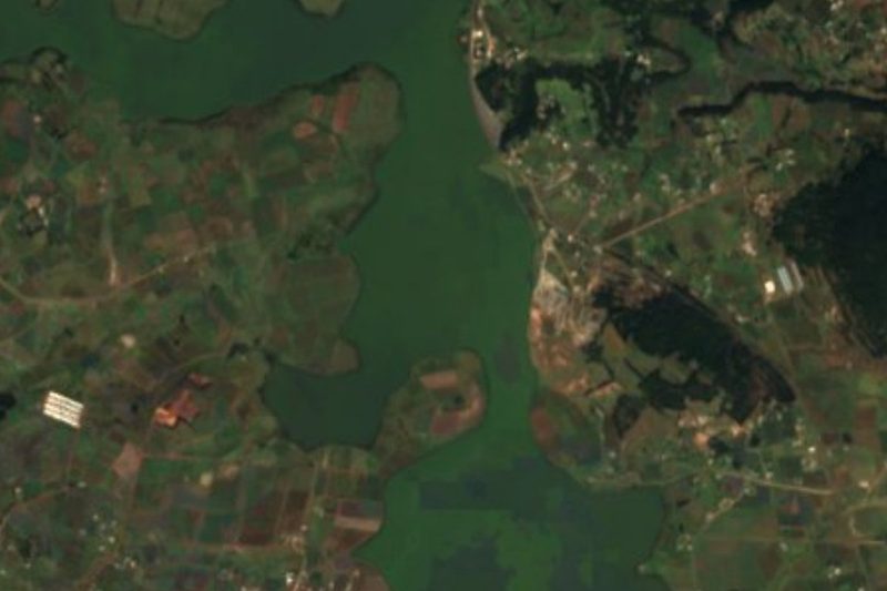





Drive times by road from OpenStreetMap, without traffic. Times marked ~ are estimated from the straight-line distance.
Location from OpenStreetMap. Written by Puebloteca.