

Village Aculco, Estado de México Municipality of Aculco Northern Estado de México
Otomí community in Aculco with a 16th-century atrial cross, the San Lucas fiesta on 18 October and a canyon with a waterfall nearby.
From San Juan del Río: 45 min by car (35 km by road) How to get there ↓
Near here
See everything nearby ↓


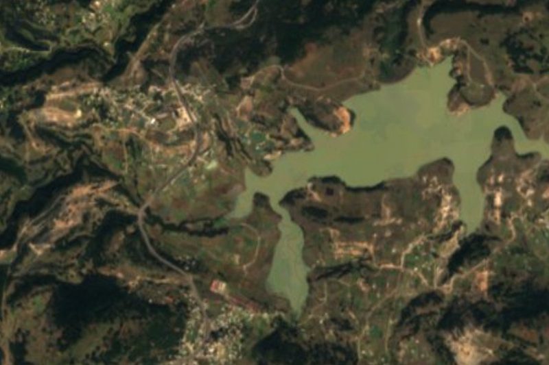


Plan your visit to San Lucas Totolmaloya
Where to stay near San Lucas Totolmaloya
Compare hotels, posadas and guest houses in San Lucas Totolmaloya.
Tours to San Lucas Totolmaloya
Day trips and guided outings from Aculco often include San Lucas Totolmaloya; with a local guide you can get there without a car.
How to get to San Lucas Totolmaloya
- From San Juan del Río: about 45 min by road (~35 km)
- Nearest airport: Querétaro (QRO), 1 h 29 min by car to Aculco
Links open a partner site. We may earn a commission if you book, at no cost to you.
About San Lucas Totolmaloya
San Lucas Totolmaloya is a community in the municipality of Aculco, in the north of the State of Mexico, at about 2,380 m. The 2020 census counted 2,832 people, down from 3,770 in 2010. The name comes from Nahuatl and is explained as "place where birds are hunted", while Saint Luke the Evangelist is the patron. It is an Otomí community; according to a local blog Otomí is spoken a little less with each generation, and 23% of adults still speak an Indigenous language.
The church of San Lucas is old: it already appears on a 1611 map held in the Archivo General de la Nación. Its main attraction is the monolithic atrial cross from the 16th century, which a local historian calls extremely old; it used to stand on a crenellated pedestal, and around the Feast of the Holy Cross, near 3 May, it is carried inside the church to be venerated. The interior keeps a neoclassical baldachin.
The patron-saint fiesta is on 18 October. The Days of the Dead here have an unusual record: the anthropologists Isabel Lagarriga and Juan Manuel Sandoval documented in 1972 and 1973 household altars with milk, coffee, mole, tamales, bread and pulque, bells ringing from the night of 31 October and no visits to the cemetery, unlike other villages. Per the local blog, graves are now decorated with flowers on 2 November. About 2 km south-west, a small canyon in the area of the La Concepción waterfall is photographed on Wikimedia Commons.
How to get to San Lucas Totolmaloya
Drive from San Juan del Río: 45 min, 35 km
San Lucas Totolmaloya is about 8 km north-west of Aculco, a Pueblo Mágico, and about 27 km in a straight line from San Juan del Río. To reach Aculco from Mexico City, take the Mexico–Querétaro 57D and leave at the Aculco turn-off around km 116, then follow the signs to the centre; from Toluca, take the 55 toward Palmillas, follow the signs for the Arco Norte and then on to Aculco. We found no published route for the stretch from Aculco to the community, nor any transport service, so the last 8 km or so are best asked about in Aculco or checked on a map before you set out. Allow roughly 2 h from Mexico City and about 30 minutes from San Juan del Río, depending on traffic (our estimates).
Directions to San Lucas Totolmaloya on Google Maps
Distances are in a straight line; the road is usually longer.
Links open a partner site. We may earn a commission if you book, at no cost to you.
From the nearest cities to San Lucas Totolmaloya
- San Juan del Río · 35 km by road, 45 min
- Querétaro · 85 km by road, 1 h 20 min
- Zitácuaro · about 120 km by road, ~1 h 50 min
Drive times by road from OpenStreetMap, without traffic or stops. Times marked ~ are estimated from the straight-line distance.
Before you go to San Lucas Totolmaloya: hours, prices and tips
- Best season
- The San Lucas fiesta is on 18 October; the Holy Cross is venerated around 3 May; and the Day of the Dead offerings run from 31 October to 2 November. Blogs locales (El Aculco Auténtico; San Lucas Totolmaloya) · checked Oct 2026
Hours and prices change, especially around holidays. Each fact links to where we checked it.
Visiting San Lucas Totolmaloya: what to see and do
The church of San Lucas, already on a 1611 map, with its neoclassical baldachin.
The monolithic atrial cross from the 16th century, venerated inside the church at the Holy Cross feast.
The San Lucas fiesta on 18 October.
Altars and bell-ringing of the Days of the Dead (31 October to 2 November).
The small canyon near the La Concepción waterfall, about 2 km to the south-west.
Plan your trip
Places to stay in San Lucas Totolmaloya
Compare hotels, posadas, and rentals in and around San Lucas Totolmaloya.
Tours & activities
Day trips and guided outings from Aculco often include San Lucas Totolmaloya; with a local guide you can get there without a car.
Rental cars
Pick up a car at QRO (Querétaro): about 1 h 29 min by road to Aculco, then 8 km more to San Lucas Totolmaloya, on your own schedule.
Flights
The nearest airport with scheduled flights is Querétaro (QRO), about 1 h 29 min by road from Aculco, the base for San Lucas Totolmaloya.
Mobile data
Signal can drop away from Aculco: download a map of the way to San Lucas Totolmaloya before you set out, or carry an eSIM with data.
Links open a partner site. We may earn a commission if you book, at no cost to you.
When to go to San Lucas Totolmaloya cool
San Lucas Totolmaloya shares the climate of Aculco, 8 km away. The best months to visit are January, February, March, and April.
See the month-by-month climate of Aculco
Weather in San Lucas Totolmaloya now and the next 7 days
Live forecast from Open-Meteo. Chance of rain is the day's highest.
The closest Pueblo Mágico: Aculco

Aculco is the Pueblo Mágico closest to San Lucas Totolmaloya, with places to stay, food, and more to see.
Also close to
- Amealco · Querétaro · 26 km away
- Huichapan · Hidalgo · 35 km away
- Tequisquiapan · Querétaro · 40 km away
- Jilotepec · Estado de México · 45 km away
- El Oro · Estado de México · 47 km away
Closest to San Lucas Totolmaloya
-
Cascada de la Concepción · Waterfall · 2 km away
-
San Ildefonso Tultepec · Town · 7 km away
-
Polotitlán · Town · 11 km away
-
Presa Ñadó · Lake · 15 km away
-
Arroyo Zarco Pueblo · Village · 19 km away
-
Zona Arqueológica de Huamango · Archaeological site · 21 km away
-
Santiago Mexquititlán · Town · 22 km away
-
Acambay · Town · 24 km away


Near San Lucas Totolmaloya


Drive times by road from OpenStreetMap, without traffic. Times marked ~ are estimated from the straight-line distance.
Location from OpenStreetMap. Written by Puebloteca.