Town Tlatlaya, Estado de México Southern Estado de México
Tiny seat in the far southwest of the State of Mexico, by the Guerrero border, with a Santiago Apóstol parish.
From Cuernavaca: about 2 h 5 min by road (~140 km) How to get there ↓
Near here
See everything nearby ↓


Plan your visit to Tlatlaya
Where to stay near Tlatlaya
Compare hotels, posadas and guest houses in Tlatlaya.
Tours to Tlatlaya
Day trips around Ixcateopan sometimes stop in Tlatlaya; a tour is the easy way to see it without a car.
How to get to Tlatlaya
- From Cuernavaca: about 2 h 5 min by road (~140 km)
- Nearest airport: Toluca (TLC), 2 h 40 min by car to Ixcateopan
Links open a partner site. We may earn a commission if you book, at no cost to you.
About Tlatlaya
Few municipal seats in the State of Mexico are this small: Tlatlaya had 595 residents in 2020, though it heads a municipality of 31,762 people spread over 165 localities, the largest being San Pedro Limón. It sits in the far southwest of the state, right against Guerrero, at about 1,800 m. The Nahuatl name is usually read as "place of fire-land" or "hot country", yet the seat itself is cool; the heat belongs to the low country further down.
Before the Conquest this was a frontier between the Matlatzinca and the Mexica, raided by the Tarascans. Missionaries arrived in 1526 at El Veladero, Juan Saucedo took the encomienda a year later and the Spanish opened mines around 1532. Tlatlaya split from Amatepec on 21 September 1849 and became a free municipality on 17 September 1919; Zapatista fighting was so intense that by 1914 there were no town authorities left.
A visit is short: the parish of Santiago Apóstol, the main square with its Antigua Pila monument (1994) and the town hall built in 1972–75. Farms across the municipality grow maize, beans, squash, sesame and sugarcane for piloncillo, plus oranges, bananas and papaya, and there are remains of the Mezcala culture at Las Parotas.
How to get to Tlatlaya
Tlatlaya is a long way from anywhere: Rome2Rio puts it at about 144 km and 2 hours 33 minutes by car from Toluca (approx.), on mountain roads heading southwest. The Amatepec–Tlatlaya road dates from 1956, and a 2014 Sultepec municipal document warned that the road linking the area with Tejupilco, Amatepec, Tlatlaya and Luvianos had potholes and landslides, so check conditions first.
There is no direct bus from Toluca. Rome2Rio lists an Autobuses Zina service to San Francisco de Asís (about 3 hours 50 minutes, every four hours) with local transport onward; allow more than four hours in all. Ixcateopan, the nearest Pueblo Mágico, is about 46 km away in a straight line, in Guerrero, and Iguala about 77 km.
Directions to Tlatlaya on Google Maps
Distances are in a straight line; the road is usually longer.
Links open a partner site. We may earn a commission if you book, at no cost to you.
From the nearest cities to Tlatlaya
- Cuernavaca · about 140 km by road, ~2 h 5 min
- Toluca · 146 km by road, 2 h 55 min
- Taxco · 161 km by road, 3 h 5 min
Drive times by road from OpenStreetMap, without traffic or stops. Times marked ~ are estimated from the straight-line distance.
Visiting Tlatlaya: what to see and do
Parish of Santiago Apóstol.
Main square with the Antigua Pila de Tlatlaya monument (1994).
Town hall built between 1972 and 1975.
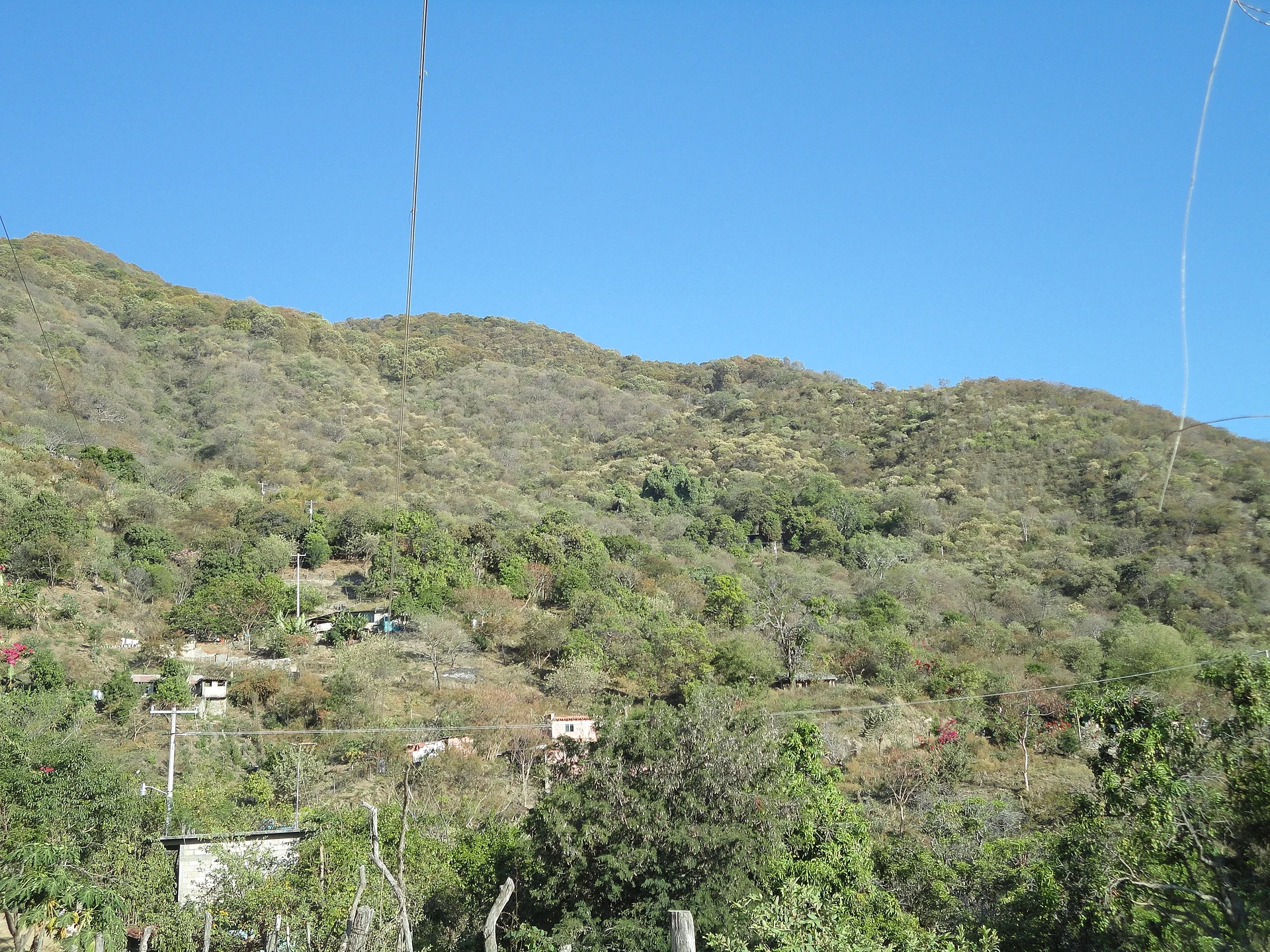
The Pie del Cerro neighbourhood, at the foot of the hill.
Remains of the Mezcala culture at Las Parotas, San Pedro Limón.
La Goleta State Park, shared with Amatepec and Sultepec.
Plan your trip
Places to stay in Tlatlaya
Compare hotels, posadas, and rentals in and around Tlatlaya.
Tours & activities
Day trips around Ixcateopan sometimes stop in Tlatlaya; a tour is the easy way to see it without a car.
Rental cars
Pick up a car at TLC (Toluca): about 2 h 40 min by road to Ixcateopan, then 46 km more to Tlatlaya, on your own schedule.
Flights
The nearest airport with scheduled flights is Toluca (TLC), about 2 h 40 min by road from Ixcateopan, the base for Tlatlaya.
Mobile data
Signal can drop away from Ixcateopan: download a map of the way to Tlatlaya before you set out, or carry an eSIM with data.
Links open a partner site. We may earn a commission if you book, at no cost to you.
When to go to Tlatlaya mild
Tlatlaya shares the climate of Ixcateopan, 46 km away. The best months to visit are January, February, March, and December.
See the month-by-month climate of Ixcateopan
Weather in Tlatlaya now and the next 7 days
Live forecast from Open-Meteo. Chance of rain is the day's highest.
The closest Pueblo Mágico: Ixcateopan

Ixcateopan is the Pueblo Mágico closest to Tlatlaya, with places to stay, food, and more to see.
Also close to
- Tonatico · Estado de México · 60 km away
- Ixtapan de la Sal · Estado de México · 61 km away
- Taxco · Guerrero · 64 km away
- Valle de Bravo · Estado de México · 65 km away
Closest to Tlatlaya
-
Amatepec · Village · 8 km away
-
Sierra de Nanchititla · Nature reserve · 33 km away
-
Almoloya de Alquisiras · Village · 43 km away
-
Texcaltitlán · Town · 45 km away
-
Zacualpan · Town · 47 km away
-
Temascaltepec · Town · 50 km away
Near Tlatlaya


Drive times by road from OpenStreetMap, without traffic. Times marked ~ are estimated from the straight-line distance.
Location from OpenStreetMap. Written by Puebloteca.