Town Texcaltitlán, Estado de México Southern Estado de México
Hill-country seat in the south of the State of Mexico, at 2,400 m, with a Santiago Apóstol parish and a Tuesday market.
From Toluca: 1 h 35 min by car (67 km by road) How to get there ↓
Near here
See everything nearby ↓


Plan your visit to Texcaltitlán
Where to stay near Texcaltitlán
Compare hotels, posadas and guest houses in Texcaltitlán.
Tours to Texcaltitlán
Day trips around Ixtapan de la Sal sometimes stop in Texcaltitlán; a tour is the easy way to see it without a car.
How to get to Texcaltitlán
- From Toluca: about 1 h 35 min by road (~67 km)
- Nearest airport: Toluca (TLC), 1 h 2 min by car to Ixtapan de la Sal
Links open a partner site. We may earn a commission if you book, at no cost to you.
About Texcaltitlán
In Nahuatl Texcaltitlán means "among the rocks", from texcalli, rock, and the name fits the first settlement: a stony height that served as a defence against the Purépecha. The seat now has 2,915 residents (INEGI 2020) and sits at about 2,400 m in the south of the State of Mexico, at the head of a municipality of 35 localities.
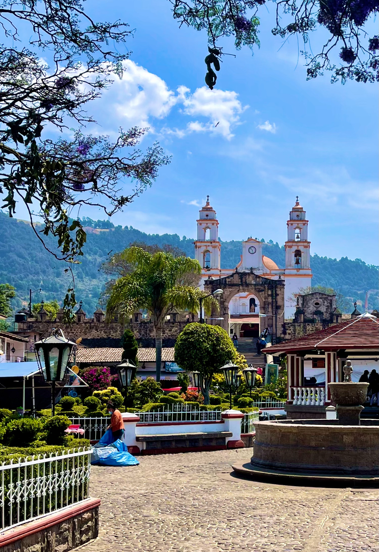
Its first people were Matlatzinca, and from the 13th century until 1520 the town paid tribute to the Mexica in henequen cloth, pine-resin ink and mushrooms. Under Spanish rule it became an encomienda held by Antonio de Caicedo. Franciscan friars built a first church at San Francisco Coaxusco and later, in the centre, the parish of Santiago Apóstol. In the 1800s General Laureano Valdés put up the first town hall and the fountain that still stands in the main garden.
Come for the market rather than for museums. On Tuesdays the tianguis fills up with flowers, fruit, vegetables, cooked food and live animals such as chickens and rabbits. Nearby are old chapels, including Santa María and San Francisco, and the El Pedregal ranch, which has a lake for fishing.
How to get to Texcaltitlán
Drive from Toluca: 1 h 35 min, 67 km
From Toluca it is about 69 km by road; Rome2Rio puts it at around 1 hour 27 minutes by car (approx.), heading south into the hills. Ixtapan de la Sal, the nearest Pueblo Mágico, is about 29 km away in a straight line.
By public transport, Autobuses Zina runs hourly departures from Toluca to Texcaltitlán, taking about 1 hour 40 minutes according to Rome2Rio. From Mexico City the practical way is to reach Toluca first and change to the Zina bus there. Check times with the bus line before you go.
Directions to Texcaltitlán on Google Maps
Distances are in a straight line; the road is usually longer.
Links open a partner site. We may earn a commission if you book, at no cost to you.
From the nearest cities to Texcaltitlán
- Toluca · 67 km by road, 1 h 35 min
- Taxco · 84 km by road, 1 h 40 min
- Iguala · 119 km by road, 2 h 15 min
Drive times by road from OpenStreetMap, without traffic or stops. Times marked ~ are estimated from the straight-line distance.
Before you go to Texcaltitlán: hours, prices and tips
- Hours
- Market day: Tuesday. Wikipedia (es): Municipio de Texcaltitlán · checked Oct 2026
Hours and prices change, especially around holidays. Each fact links to where we checked it.
Visiting Texcaltitlán: what to see and do
Parish of Santiago Apóstol, in the centre.
Main garden with its 19th-century fountain.
Tuesday market: flowers, fruit, cooked food and live animals.
Chapels of Santa María and San Francisco.
El Pedregal ranch, with a fishing lake.
Plan your trip
Places to stay in Texcaltitlán
Compare hotels, posadas, and rentals in and around Texcaltitlán.
Tours & activities
Day trips around Ixtapan de la Sal sometimes stop in Texcaltitlán; a tour is the easy way to see it without a car.
Rental cars
Pick up a car at TLC (Toluca): about 1 h 2 min by road to Ixtapan de la Sal, then 29 km more to Texcaltitlán, on your own schedule.
Flights
The nearest airport with scheduled flights is Toluca (TLC), about 1 h 2 min by road from Ixtapan de la Sal, the base for Texcaltitlán.
Mobile data
Signal can drop away from Ixtapan de la Sal: download a map of the way to Texcaltitlán before you set out, or carry an eSIM with data.
Links open a partner site. We may earn a commission if you book, at no cost to you.
When to go to Texcaltitlán mild
Texcaltitlán shares the climate of Ixtapan de la Sal, 29 km away. The best months to visit are January, February, March, and December.
See the month-by-month climate of Ixtapan de la Sal
Weather in Texcaltitlán now and the next 7 days
Live forecast from Open-Meteo. Chance of rain is the day's highest.
The closest Pueblo Mágico: Ixtapan de la Sal

Ixtapan de la Sal is the Pueblo Mágico closest to Texcaltitlán, with places to stay, food, and more to see.
Also close to
- Tonatico · Estado de México · 32 km away
- Valle de Bravo · Estado de México · 35 km away
- Malinalco · Estado de México · 46 km away
- Metepec · Estado de México · 50 km away
- Ixcateopan · Guerrero · 50 km away
Closest to Texcaltitlán
-
Almoloya de Alquisiras · Village · 9 km away
-
Real de Arriba · Town · 14 km away
-
Temascaltepec · Town · 16 km away
-
Coatepec Harinas · Town · 18 km away
-
Santuario Piedra Herrada · Nature reserve · 27 km away
-
Nevado de Toluca · Mountain · 28 km away
-
Raíces · Village · 29 km away
-
Zacualpan · Town · 29 km away


Near Texcaltitlán


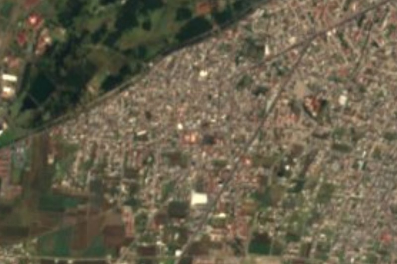

Drive times by road from OpenStreetMap, without traffic. Times marked ~ are estimated from the straight-line distance.
Location from OpenStreetMap. Written by Puebloteca.