


Town Valle de Bravo, Estado de México Municipality of Valle de Bravo
A wooded village next to Valle de Bravo with weekend homes, a golf club, waterfalls, and the site of Mexico's famous 1971 rock festival.
From Toluca: 1 h 5 min by car (77 km by road) How to get there ↓
Near here
See everything nearby ↓


Plan your visit to Avándaro
Tours to Avándaro
Day trips around Valle de Bravo sometimes stop in Avándaro; a tour is the easy way to see it without a car.
 Private Valle de Bravo Day Trip from Mexico City (TOP RATED)
★ 5.0 (2) · From US$558
How to get to Avándaro
- From Toluca: about 1 h 5 min by road (~77 km)
- 3 km south of Valle de Bravo
- Nearest airport: Toluca (TLC), 1 h 10 min by car to Valle de Bravo
Links open a partner site. We may earn a commission if you book, at no cost to you.
Popular tours to Avándaro

Tours, prices and ratings from Viator, checked weekly. We may earn a commission if you book.
About Avándaro
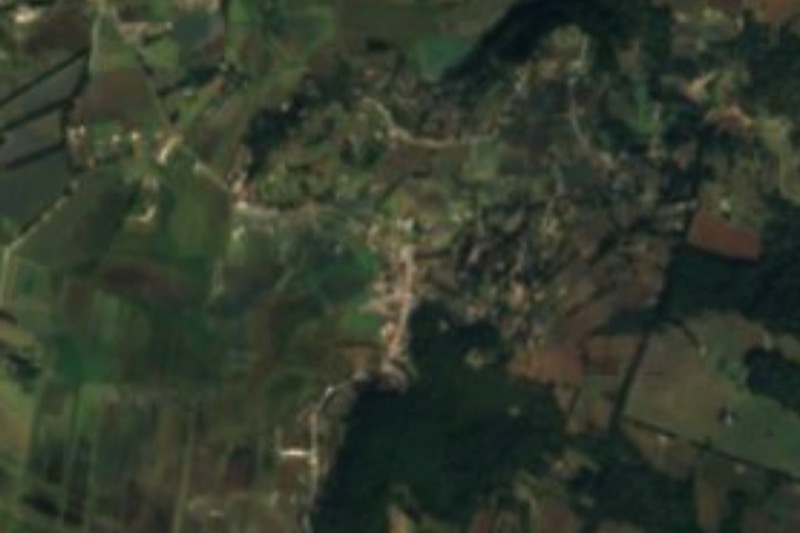
Avándaro is the wooded village just southeast of Valle de Bravo, and for many visitors it is half the reason to come. Its cobbled lanes wind under tall pines past weekend houses, small hotels, restaurants and spas, and the air is noticeably cooler and greener than down by the lake. The Club de Golf Avándaro has made the name familiar to golfers since the mid-20th century.
The name is also a landmark in Mexican music. On September 11 and 12, 1971, the Festival Rock y Ruedas de Avándaro was held near the golf club, in the hamlet of Tenantongo. What was planned as a car race with music turned into a huge rock gathering, with estimates ranging from 100,000 to half a million people and around 18 bands playing through a rainy weekend. It has been called Mexico's Woodstock, and the backlash that followed shaped the country's rock scene for years.
Today Avándaro is mostly about nature. The Velo de Novia waterfall lies right on its edge, smaller falls drop through the forest nearby, and the woods are full of walking and cycling routes. It is easy to visit on foot or by bike from Valle de Bravo, or to stay among the trees and go into town for the lake.
How to get to Avándaro
Drive from Toluca: 1 h 5 min, 77 km
Avándaro is about 4 km from the centre of Valle de Bravo, roughly 10 minutes by car or taxi and an easy bike ride; local taxis run between the two all day. To reach Valle de Bravo by car from Toluca, take Highway 55 to the north side of the city, then the Toluca–Valle de Bravo road west for about 60 km. By bus, several companies run hourly services from Mexico City's western terminal (Observatorio, Metro line 1), and buses leave Toluca's terminal about every hour between 6 am and 6 pm; from the Valle de Bravo bus station take a taxi on to Avándaro.
3 km south of Valle de Bravo
Directions from Valle de Bravo on Google Maps
Distances are in a straight line; the road is usually longer.
Links open a partner site. We may earn a commission if you book, at no cost to you.
From the nearest cities to Avándaro
- Toluca · 77 km by road, 1 h 5 min
- Zitácuaro · 79 km by road, 1 h 10 min
- Taxco · about 115 km by road, ~1 h 40 min
Drive times by road from OpenStreetMap, without traffic or stops. Times marked ~ are estimated from the straight-line distance.
Before you go to Avándaro: hours, prices and tips
- Time needed
- Works well as a short day outing: a long forest walk, a meal and a look at the local projects. Camping at Monte Alto is an option if you want to stay a few days. México Desconocido · checked Oct 2026
- What to bring
- For the walk to the Velo de Novia waterfall: sneakers, water, sunscreen, hat, repellent, a light sweater, cash (parking about 50 pesos, toilets 10) and a bag to carry out your trash. The trail is steep and slippery. México Desconocido Escapadas · checked Oct 2026
Hours and prices change, especially around holidays. Each fact links to where we checked it.
Visiting Avándaro: what to see and do
Wander the pine-shaded lanes and stop for lunch or a spa afternoon.
Walk to the Velo de Novia waterfall on the village's edge.
Cycle or hike the forest trails around the golf course.
Look for the area where the 1971 Avándaro rock festival took place.
Plan your trip
Tours & activities
Day trips around Valle de Bravo sometimes stop in Avándaro; a tour is the easy way to see it without a car.
Rental cars
Pick up a car at TLC (Toluca): about 1 h 10 min by road to Valle de Bravo, then 3 km more to Avándaro, on your own schedule.
Flights
The nearest airport with scheduled flights is Toluca (TLC), about 1 h 10 min by road from Valle de Bravo, the base for Avándaro.
Mobile data
Signal can drop away from Valle de Bravo: download a map of the way to Avándaro before you set out, or carry an eSIM with data.
Links open a partner site. We may earn a commission if you book, at no cost to you. Hotel names from OpenStreetMap.
Photos
When to go to Avándaro mild
Avándaro shares the climate of Valle de Bravo, 3 km away. The best months to visit are January, March, April, and December.
See the month-by-month climate of Valle de Bravo
Weather in Avándaro now and the next 7 days
Live forecast from Open-Meteo. Chance of rain is the day's highest.
Make Valle de Bravo your base

Avándaro is an easy trip from Valle de Bravo, a Pueblo Mágico with places to stay, food, and more to see.
Also close to
- Angangueo · Michoacán · 53 km away
- Metepec · Estado de México · 56 km away
- Ixtapan de la Sal · Estado de México · 59 km away
- Tonatico · Estado de México · 63 km away
- Malinalco · Estado de México · 70 km away
Closest to Avándaro
-
Cascada Velo de Novia · Waterfall · 1 km away
-
Santo Tomás de los Plátanos · Town · 14 km away · Estado de México
-
Amanalco de Becerra · Town · 15 km away
-
Temascaltepec · Town · 16 km away
-
Zacazonapan · Town · 17 km away · Estado de México
-
Ixtapan del Oro · Town · 18 km away · Estado de México
-
San Martín Obispo · Village · 18 km away · Estado de México
-
Santuario Piedra Herrada · Nature reserve · 18 km away

Near Avándaro


Drive times by road from OpenStreetMap, without traffic. Times marked ~ are estimated from the straight-line distance.
Something wrong or missing on this page? Suggest a fix or addition
Location from OpenStreetMap. Written by Puebloteca.