Town Zacazonapan, Estado de México Monarch Butterfly country Valle de Bravo and Avándaro
A small municipal seat in the south of the State of Mexico, known for aged cheese and its year-end cheese fair.
From Zitácuaro: 1 h 40 min by car (73 km by road) How to get there ↓
Near here
See everything nearby ↓


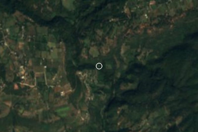

Plan your visit to Zacazonapan
Where to stay near Zacazonapan
Compare hotels, posadas and guest houses in Zacazonapan.
Tours to Zacazonapan
Day trips around Valle de Bravo sometimes stop in Zacazonapan; a tour is the easy way to see it without a car.
How to get to Zacazonapan
- From Zitácuaro: about 1 h 40 min by road (~73 km)
- Nearest airport: Toluca (TLC), 1 h 10 min by car to Valle de Bravo
Links open a partner site. We may earn a commission if you book, at no cost to you.
About Zacazonapan
Zacazonapan is the municipal seat of a small municipality in the south of the State of Mexico, at about 1,360 m. The 2020 census counted 3,477 people in the town and 5,109 in the whole municipality. It became a seat in its own right, split from Otzoloapan, on 5 April 1879. The parish church is dedicated to San Juan Bautista. In the municipality you can also find the 16th-century former hacienda of Santa María, declared a historic monument in 1994, and the Victoriano Arroyo Garibay house of 1900, noted for its architecture.
People come for the table and for the fair. Zacazonapan's aged cheese (queso añejo) is the local claim to fame, and the Expoferia del Queso Añejo takes place every year in the last week of December, with a livestock show, a milk-yield contest for the cows and plenty of tasting. The town also makes a red mole thinner than the versions from other regions, and tecuí, a drink of orange juice and mezcal, with the best citrus from November to April. Wikipedia notes three hills named after the Three Kings and the Peña Colorada rock nearby. Livelihoods mix cattle, corn, tomatoes and fish farming, and the Tizapa mine (zinc, lead, copper) operates in the municipality.
How to get to Zacazonapan
Drive from Zitácuaro: 1 h 40 min, 73 km
By car from Toluca, take MEX 55 north and then the Valle de Bravo-Toluca highway, about 60 km, to Valle de Bravo. Zacazonapan lies south-west of Valle de Bravo, about 19 km as the crow flies; the road is longer and winding, so check the route on a map before leaving. Allow roughly two hours from Toluca and more from Mexico City. By public transport, go to Valle de Bravo first: buses run hourly from Toluca's terminal (about 6:00 to 18:00) and from the Observatorio terminal in Mexico City (Metro Line 1), and the Valle de Bravo bus station is on Calle 16 de Septiembre. From there you need local transport on to Zacazonapan; we found no source with timetables, so ask at the station.
Directions to Zacazonapan on Google Maps
Distances are in a straight line; the road is usually longer.
Links open a partner site. We may earn a commission if you book, at no cost to you.
From the nearest cities to Zacazonapan
- Zitácuaro · 73 km by road, 1 h 40 min
- Toluca · 112 km by road, 2 h
- Cuernavaca · about 140 km by road, ~2 h 5 min
Drive times by road from OpenStreetMap, without traffic or stops. Times marked ~ are estimated from the straight-line distance.
Before you go to Zacazonapan: hours, prices and tips
- Best time of day
- Liveliest in the last week of December, during the Expoferia del Queso Añejo; the livestock show runs 24 to 31 December. Milenio · checked Oct 2026
- Best season
- The best oranges for tecuí are available from November to April. Milenio · checked Oct 2026
Hours and prices change, especially around holidays. Each fact links to where we checked it.
Visiting Zacazonapan: what to see and do
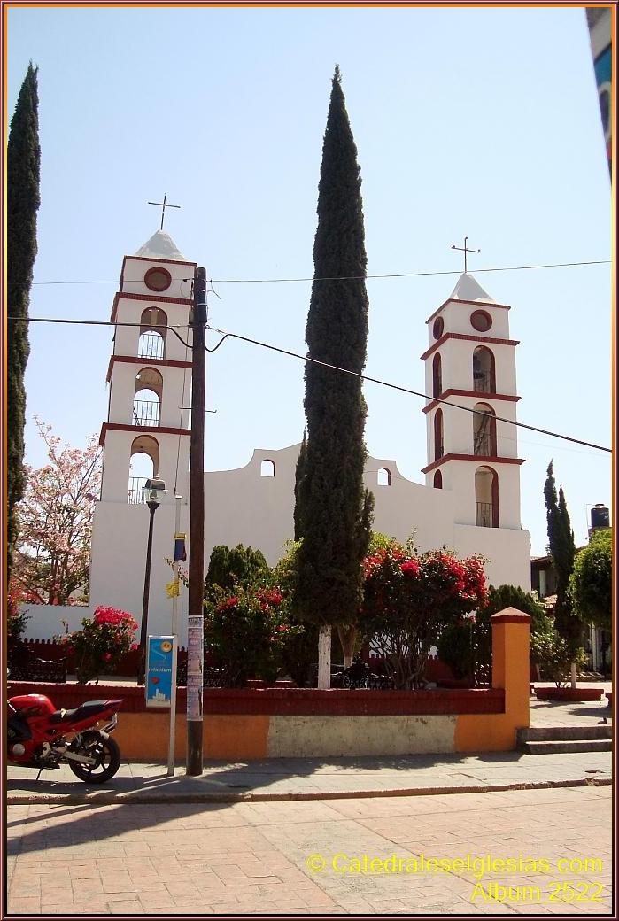
Parish church of San Juan Bautista, in the centre of town.
The 16th-century former hacienda of Santa María, a historic monument since 1994.
The Victoriano Arroyo Garibay house, built in 1900.
Expoferia del Queso Añejo and its livestock show, at year-end.
Aged cheese, red mole and tecuí to try in town.
The three Kings hills and the Peña Colorada in the surroundings.
Plan your trip
Places to stay in Zacazonapan
Compare hotels, posadas, and rentals in and around Zacazonapan.
Tours & activities
Day trips around Valle de Bravo sometimes stop in Zacazonapan; a tour is the easy way to see it without a car.
Rental cars
Pick up a car at TLC (Toluca): about 1 h 10 min by road to Valle de Bravo, then 19 km more to Zacazonapan, on your own schedule.
Flights
The nearest airport with scheduled flights is Toluca (TLC), about 1 h 10 min by road from Valle de Bravo, the base for Zacazonapan.
Mobile data
Signal can drop away from Valle de Bravo: download a map of the way to Zacazonapan before you set out, or carry an eSIM with data.
Links open a partner site. We may earn a commission if you book, at no cost to you.
When to go to Zacazonapan mild
Zacazonapan shares the climate of Valle de Bravo, 19 km away. The best months to visit are January, March, April, and December.
See the month-by-month climate of Valle de Bravo
Weather in Zacazonapan now and the next 7 days
Live forecast from Open-Meteo. Chance of rain is the day's highest.
The closest Pueblo Mágico: Valle de Bravo

Valle de Bravo is the Pueblo Mágico closest to Zacazonapan, with places to stay, food, and more to see.
Also close to
- Angangueo · Michoacán · 60 km away
- Ixtapan de la Sal · Estado de México · 66 km away
- Tonatico · Estado de México · 69 km away
- Metepec · Estado de México · 72 km away
- Ixcateopan · Guerrero · 80 km away
Closest to Zacazonapan
-
Santo Tomás de los Plátanos · Town · 12 km away
-
Cascada Velo de Novia · Waterfall · 16 km away
-
Avándaro · Town · 17 km away
-
Ixtapan del Oro · Town · 21 km away
-
Salto de Chihuahua · Waterfall · 23 km away
-
Temascaltepec · Town · 23 km away
-
Real de Arriba · Town · 27 km away
-
Sierra de Nanchititla · Nature reserve · 31 km away


Near Zacazonapan


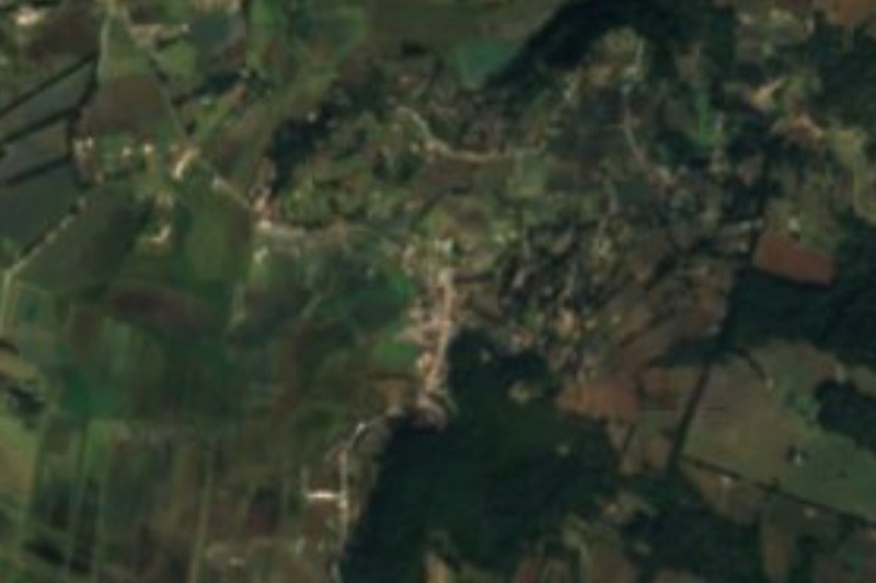


Drive times by road from OpenStreetMap, without traffic. Times marked ~ are estimated from the straight-line distance.
Location from OpenStreetMap. Written by Puebloteca.