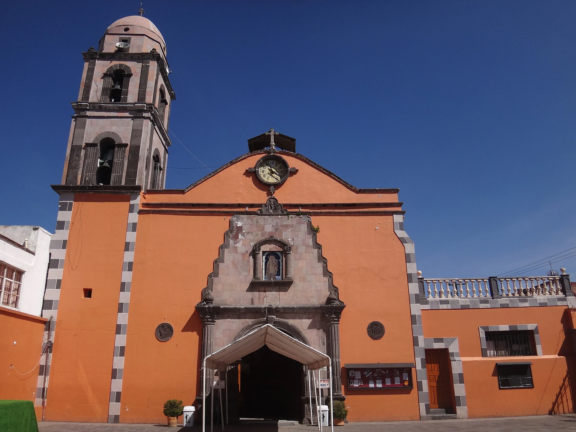
Town Villa Victoria, Estado de México
Municipal seat beside the Villa Victoria dam: boat rides, fishing, the El Salto waterfall and fried charales.
From Zitácuaro: 45 min by car (49 km by road) How to get there ↓
Near here
See everything nearby ↓



Plan your visit to Villa Victoria
Where to stay near Villa Victoria
Compare hotels, posadas and guest houses in Villa Victoria.
Tours to Villa Victoria
Day trips around Valle de Bravo sometimes stop in Villa Victoria; a tour is the easy way to see it without a car.
How to get to Villa Victoria
- From Zitácuaro: about 45 min by road (~49 km)
- Nearest airport: Toluca (TLC), 1 h 10 min by car to Valle de Bravo
Links open a partner site. We may earn a commission if you book, at no cost to you.
About Villa Victoria
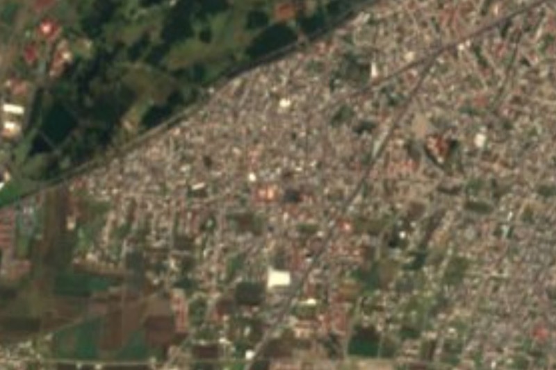
Villa Victoria is the seat of the municipality of the same name, in the Quencio Valley in the west of the State of Mexico. It is the municipality's largest locality, with 4,656 people in 2020, at about 2,605 m; the whole municipality has 108,196. It is cool and rains in summer: the annual mean is around 13 °C, the lowest recorded temperature is -8 °C, and June and July are the wettest months. It was once called Pueblo Nuevo and is named after Guadalupe Victoria, Mexico's first president.
What draws people is the water. The Villa Victoria dam is one of three feeding the Cutzamala System, and at the Centro Turístico Las Peñas (El Embarcadero) you can take boat rides, fish or row. In town, near the centre, are the Plaza Cívica Roja, a Mazahua mural and the parish church of Nuestra Señora de la Merced; the shops around it sell textiles and pottery. On the outskirts the El Salto eco-park has a waterfall of a little over 30 m, and Nuevo Bosque offers camping, trails and a lake. On the table, look for fried charales and barbacoa al hoyo.
How to get to Villa Victoria
Drive from Zitácuaro: 45 min, 49 km
By car from Mexico City it is about 2 hours on the Toluca–Naucalpan autopista (134D), per Mexico Desconocido; from Valle de Bravo, close to an hour. From Toluca, Rome2Rio gives about 47 minutes and roughly 48 km by road. There is no direct bus: Autobuses Zina runs from Toluca about four times a day to the Desviación Villa Victoria (about 1 hour), and you then change, around 1 h 30 in all. In Mexico City, buses to Toluca leave from the Terminal Poniente (Metro Observatorio). Check times with the company before you go.
Directions to Villa Victoria on Google Maps
Distances are in a straight line; the road is usually longer.
Links open a partner site. We may earn a commission if you book, at no cost to you.
From the nearest cities to Villa Victoria
- Zitácuaro · 49 km by road, 45 min
- Toluca · 60 km by road, 55 min
- Ciudad Hidalgo · 94 km by road, 1 h 30 min
Drive times by road from OpenStreetMap, without traffic or stops. Times marked ~ are estimated from the straight-line distance.
Visiting Villa Victoria: what to see and do
Take a boat ride or fish on the Villa Victoria dam at Centro Turístico Las Peñas (El Embarcadero).
Walk the centre: Plaza Cívica Roja, the Mazahua mural and the parish church of Nuestra Señora de la Merced.
Look for textiles, pottery and ceramics in the shops near the centre.
Hike or ride a horse to the 30-plus-metre waterfall in El Salto eco-park.
Camp or hike at Nuevo Bosque park, which has a lake.
Try fried charales and barbacoa al hoyo.
Plan your trip
Places to stay in Villa Victoria
Compare hotels, posadas, and rentals in and around Villa Victoria.
Tours & activities
Day trips around Valle de Bravo sometimes stop in Villa Victoria; a tour is the easy way to see it without a car.
Rental cars
Pick up a car at TLC (Toluca): about 1 h 10 min by road to Valle de Bravo, then 33 km more to Villa Victoria, on your own schedule.
Flights
The nearest airport with scheduled flights is Toluca (TLC), about 1 h 10 min by road from Valle de Bravo, the base for Villa Victoria.
Mobile data
Signal can drop away from Valle de Bravo: download a map of the way to Villa Victoria before you set out, or carry an eSIM with data.
Links open a partner site. We may earn a commission if you book, at no cost to you.
When to go to Villa Victoria mild
Villa Victoria shares the climate of Valle de Bravo, 33 km away. The best months to visit are January, March, April, and December.
See the month-by-month climate of Valle de Bravo
Weather in Villa Victoria now and the next 7 days
Live forecast from Open-Meteo. Chance of rain is the day's highest.
The closest Pueblo Mágico: Valle de Bravo

Valle de Bravo is the Pueblo Mágico closest to Villa Victoria, with places to stay, food, and more to see.
Also close to
- Angangueo · Michoacán · 35 km away
- El Oro · Estado de México · 40 km away
- Tlalpujahua · Michoacán · 42 km away
- Metepec · Estado de México · 48 km away
- Villa del Carbón · Estado de México · 64 km away
Closest to Villa Victoria
-
Parque Nacional Bosencheve · Nature reserve · 12 km away
-
San Martín Obispo · Village · 17 km away
-
San Miguel Enyege · Village · 20 km away
-
Amanalco de Becerra · Town · 23 km away
-
Santuario de la Mariposa Monarca La Mesa · Nature reserve · 23 km away
-
Almoloya de Juárez · Village · 27 km away
-
Ixtlahuaca de Rayón · Town · 27 km away
-
San José del Rincón · Town · 27 km away


Near Villa Victoria



Drive times by road from OpenStreetMap, without traffic. Times marked ~ are estimated from the straight-line distance.
Location from OpenStreetMap. Written by Puebloteca.