


Beach Aquila, Michoacán Municipality of Aquila Michoacán coast
Nahua fishing village with three beaches among white rock islets, the Dedo de Dios sea stack, beach camping and a key black turtle nesting site.
From Tecomán: 1 h 20 min by car (109 km by road) How to get there ↓
Near here
See everything nearby ↓


Plan your visit to Maruata
Where to stay near Maruata
Compare hotels, posadas and guest houses in Maruata.
Tours to Maruata
Day trips and guided outings from Michoacán often include Maruata; with a local guide you can get there without a car.
Links open a partner site. We may earn a commission if you book, at no cost to you.
About Maruata
Maruata is a village of about 1,100 people (2020) on the coast of the municipality of Aquila, and it is often called the most beautiful beach in Michoacán. It belongs to the Nahua indigenous community of Pómaro, which, like its neighbours Coire and Ostula, still holds its land communally and has so far turned down outside proposals for large tourist developments. The coast highway only reached Maruata in 1980 and electricity in 1996, so the village has grown slowly into a small, locally run ecotourism centre. Fishing and farming are still the main livelihoods, and older people speak both Nahuatl and Spanish. The name is said to come from an old word, Maruatio, 'place of precious things'.
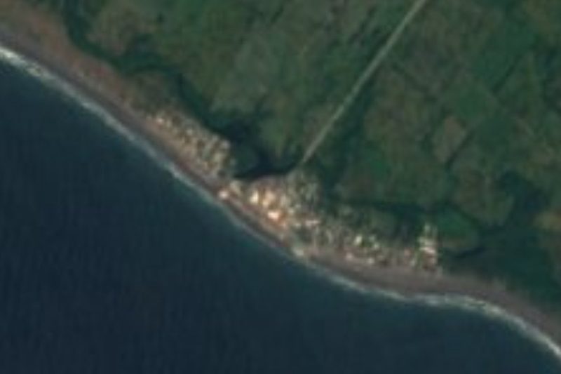
The landscape is sea and stone. The sand is split into three beaches by big pale rock formations, and in front of them stand seven rocky islets that take the full force of the swell, throwing spray up to 10 m high and leaving the water near shore noticeably calmer; some of the rocks have been bored through by the waves. The best known is the Dedo de Dios, a pointed sea stack like a finger raised to the sky, which you reach by walking around a headland or crawling through a narrow tunnel in it. Behind the main beach a lagoon forms where the Escobillero and Chipana streams meet the sea, with the mouth of the Motín del Oro river beyond, and herons, pelicans, cormorants and ibis fish there.
Maruata is also one of the most important nesting beaches on the Pacific for the black turtle, a dark form of the green turtle, as well as for olive ridleys and the odd leatherback. Its fishermen stopped catching turtles in 1975, and since 1982 the community has worked with the Universidad Michoacana to protect the nests; around 2,500 black turtle females were estimated to nest here, and the beach has been a Ramsar wetland of international importance since 2008. Most visitors camp: families rent space under palapas along the sand, with meals and bathrooms, and there are rustic cabins and a community-built ecotourism centre on a hill with views over the bays. Simple palapa kitchens cook fish, shrimp and lobster to order.
How to get to Maruata
Drive from Tecomán: 1 h 20 min, 109 km
Most people drive. Maruata is on coastal Federal Highway 200 (around km 150), roughly 4 hours north-west of Lázaro Cárdenas and 2 hours from Tecomán in Colima; Guadalajara is about 6 hours away via Tecomán. Second-class buses run along the coast from Lázaro Cárdenas and Tecomán and stop at the turn-off, from where you walk through the village to the beach. The nearest airport is Lázaro Cárdenas. The US State Department rates all of Michoacán, its coast included, at Level 4, 'Do not travel'; regular visitors advise driving the coast road only by day.
Directions to Maruata on Google Maps
Distances are in a straight line; the road is usually longer.
Links open a partner site. We may earn a commission if you book, at no cost to you.
From the nearest cities to Maruata
- Tecomán · 109 km by road, 1 h 20 min
- Manzanillo · 169 km by road, 2 h
- Lázaro Cárdenas · 169 km by road, 2 h 5 min
Drive times by road from OpenStreetMap, without traffic or stops. Times marked ~ are estimated from the straight-line distance.
Before you go to Maruata: hours, prices and tips
- Entry
- A boat trip to the natural jacuzzi and Carecitos beach costs around 100 pesos. México Desconocido · checked Oct 2026
- Best season
- June to November is hurricane season on this stretch of the Pacific; the last storm to hit nearby, in 2002, reshaped one of the beaches. Wikivoyage · checked Oct 2026
- What to bring
- Cash, a tent or hammock, and a small daypack for valuables: services are minimal and there are few or no ATMs on the coast. México Desconocido · checked Oct 2026
- Rules
- If camping, never leave money, passports or electronics unattended, and hang food from the palapa roof: free-roaming pigs will tear into tents for it. Wikivoyage · checked Oct 2026
Hours and prices change, especially around holidays. Each fact links to where we checked it.
Visiting Maruata: what to see and do
Walk around the headland, or crawl through the tunnel, to see the Dedo de Dios sea stack.
Watch the waves explode against the seven islets off the beaches.
Take a boat to the natural rock pools known as the jacuzzi and to the empty beach of Carecitos.
Walk or drive to Maruata Viejo, a small sheltered bay for snorkelling, boat trips and fishing.
Join a night walk with Nahua turtle guardians or a hatchling release in nesting season.
Birdwatch at the lagoon behind the beach.
Plan your trip
Places to stay in Maruata
Compare hotels, posadas, and rentals in and around Maruata.
Tours & activities
Day trips and guided outings from Michoacán often include Maruata; with a local guide you can get there without a car.
Travel insurance
If you plan on swimming or surfing at Maruata, check that your policy covers it: some plans leave adventure activities out.
Mobile data
Signal can drop away from Michoacán: download a map of the way to Maruata before you set out, or carry an eSIM with data.
Links open a partner site. We may earn a commission if you book, at no cost to you.
Photos
Closest to Maruata
-
Colola · Beach · 7 km away
-
Faro de Bucerías · Beach · 19 km away
-
La Ticla · Beach · 30 km away
-
San Juan de Alima · Village · 48 km away
Near Maruata



Drive times by road from OpenStreetMap, without traffic. Times marked ~ are estimated from the straight-line distance.
Lists with Maruata
Beaches in Michoacán · 5Location from OpenStreetMap. Written by Puebloteca.