Town Ixtlahuacán, Colima Colima coast
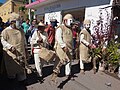
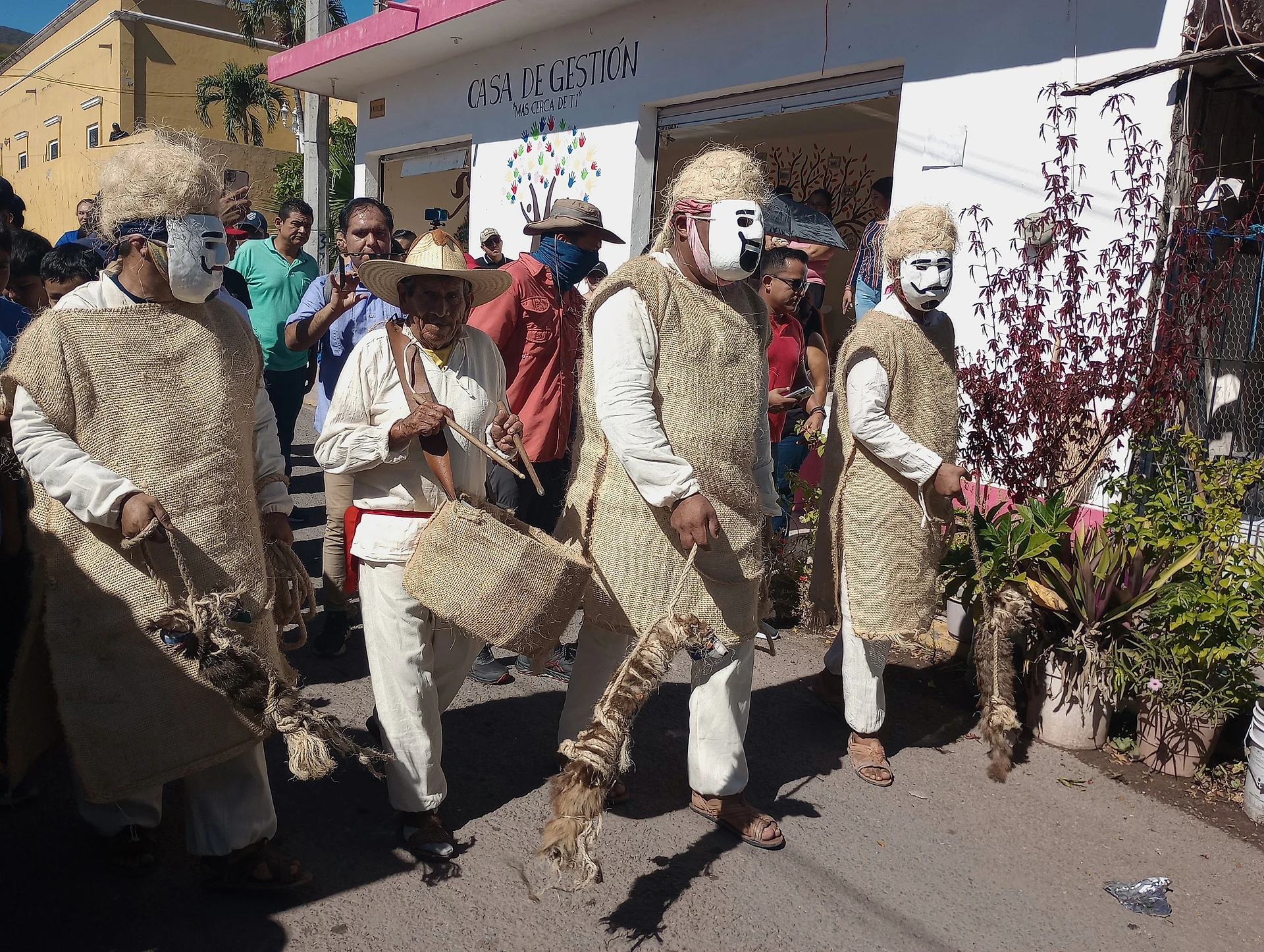
An old Indigenous town in the hills of south-east Colima, known for the masked Chayacates every 5-6 January. 30 minutes from Tecomán.
From Tecomán: about 20 min by road (~20 km) How to get there ↓
Near here
See everything nearby ↓


Plan your visit to Ixtlahuacán
Where to stay near Ixtlahuacán
Compare hotels, posadas and guest houses in Ixtlahuacán.
Tours to Ixtlahuacán
Day trips around Comala sometimes stop in Ixtlahuacán; a tour is the easy way to see it without a car.
 Tours from Manzanillo
Private Chichen Itza & Yaxunah Ruins with Cenote
★ 4.8 (111) · From US$518
How to get to Ixtlahuacán
- From Tecomán: about 20 min by road (~20 km)
- Nearest airport: Colima (CLQ), 32 min by car to Comala
Links open a partner site. We may earn a commission if you book, at no cost to you.
Tours from Manzanillo, near Ixtlahuacán


Tours, prices and ratings from Viator, checked weekly. We may earn a commission if you book.
About Ixtlahuacán
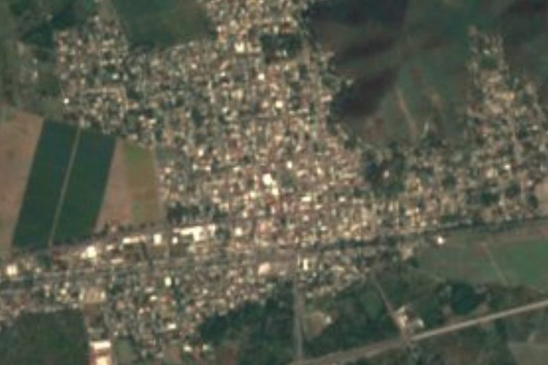
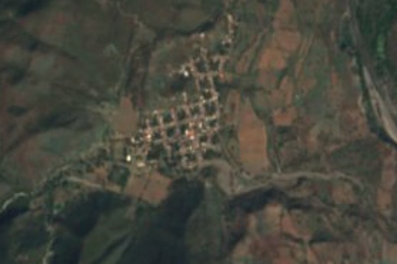
Ixtlahuacán is the seat of Colima's least populous municipality: the town had 2,985 people in 2020 and sits at 167 metres among low, forested hills in the south-east of the state. Its Nahuatl name translates as "flat land, valley", and because its parish is dedicated to the Three Kings it was once called Ixtlahuacán de los Reyes.
By 1566 it belonged to the Crown and paid tribute in cloth and maize. In 1685 its people bought salt wells at La Manzanilla, and for a century, 1664 to 1774, they fought Tecomán over the salt flats of Lo de Vega. In June 1811, as the town prepared to join the independence rising, royalist troops from Colima burned it, and the priest of nearby Tamala later coaxed the families back. Its first town council sat on 22 January 1826; the municipality was abolished in 1928 and restored on 15 June 1932.
The town is famous for the Chayacates: four old Indigenous men, guardians of the four directions, in carved wooden masks and ixtle-fibre clothes, carrying "dogs" made of badger skin. Around midday on 5 January they leave the main square and roam the streets to spirit the Christ Child away from Herod's soldiers; households feed them and are blessed with the "old song", verses in Nahuatl. On the 6th, back in the square, they die at the soldiers' hands after making sure the Holy Family escapes.
The community museum holds more than 240 pieces, from pre-Hispanic grinding stones to 18th-century parish registers and Chayacate masks. Local crafts include acapán-fibre hammocks and otate baskets, and the kitchen runs to sweet hen mole and ash tamales.
How to get to Ixtlahuacán
From Tecomán, take federal highway 110 toward Colima and at the Turla junction turn east onto state highway 19, which climbs about 8 km through the hills to the town: 30 minutes and 30 km by road. From Colima city, come down the same highway 110 to Turla. The nearest Pueblo Mágico by road is Comala, 45 minutes away (46 km). Without a car, locals take a taxi to the Turla junction to catch buses on the highway, and direct buses to Colima are few, one in the morning and one in the afternoon; mobile signal is weak among the hills. For the Grutas de San Gabriel, ask for a guide in town and drive 14 km of dirt road from the La Virgen turn-off. The UK government advises against all but essential travel to Colima state, except the city of Manzanillo.
Directions to Ixtlahuacán on Google Maps
Distances are in a straight line; the road is usually longer.
Links open a partner site. We may earn a commission if you book, at no cost to you.
From the nearest cities to Ixtlahuacán
- Tecomán · about 20 km by road, ~20 min
- Colima · about 35 km by road, ~30 min
- Manzanillo · about 80 km by road, ~1 h 10 min
Drive times by road from OpenStreetMap, without traffic or stops. Times marked ~ are estimated from the straight-line distance.
Before you go to Ixtlahuacán: hours, prices and tips
- Hours
- The community museum, in the Casa de la Cultura, opens Monday to Saturday, 9 am to 3 pm. Programa Destinos México · checked Oct 2026
- Best season
- The Chayacates fiesta for the Three Kings is on 5 and 6 January. Gobierno del Estado de Colima · checked Oct 2026
- Guide or tour
- To visit the Grutas de San Gabriel, ask for a guide in Ixtlahuacán. Programa Destinos México · checked Oct 2026
- What to bring
- Mobile signal is weak because of the surrounding hills. Wikipedia · checked Oct 2026
- Rules
- The UK advises against all but essential travel to Colima state, except the city of Manzanillo. GOV.UK · checked Oct 2026
Hours and prices change, especially around holidays. Each fact links to where we checked it.
Visiting Ixtlahuacán: what to see and do
Watch the Chayacates roam the town on 5 and 6 January, for the feast of the Three Kings.
Visit the community museum in the Casa de la Cultura, with pre-Hispanic pieces, parish registers and Chayacate masks.
Step into the Three Kings parish church and sit in the main square where the fiesta plays out.
Come for the Feria del Melón, held a week before Holy Week.
Go with a guide to the Grutas de San Gabriel, with a shaft of about 15 m and a large chamber of stalactites.
See Chamila, near the town, with its pre-Hispanic shaft-tomb cemetery.
Buy an acapán-fibre hammock or an otate basket.
Plan your trip
Places to stay in Ixtlahuacán
Compare hotels, posadas, and rentals in and around Ixtlahuacán.
Tours & activities
Day trips around Comala sometimes stop in Ixtlahuacán; a tour is the easy way to see it without a car.
Rental cars
Pick up a car at CLQ (Colima): about 32 min by road to Comala, then 36 km more to Ixtlahuacán, on your own schedule.
Flights
The nearest airport with scheduled flights is Colima (CLQ), about 32 min by road from Comala, the base for Ixtlahuacán.
Mobile data
Signal can drop away from Comala: download a map of the way to Ixtlahuacán before you set out, or carry an eSIM with data.
Links open a partner site. We may earn a commission if you book, at no cost to you.
When to go to Ixtlahuacán warm
Ixtlahuacán shares the climate of Comala, 36 km away. The best months to visit are January, February, November, and December.
See the month-by-month climate of Comala
Weather in Ixtlahuacán now and the next 7 days
Live forecast from Open-Meteo. Chance of rain is the day's highest.
The closest Pueblo Mágico: Comala

Comala is the Pueblo Mágico closest to Ixtlahuacán, with places to stay, food, and more to see.
Closest to Ixtlahuacán
-
Tecomán · City · 17 km away
-
Armería · Town · 25 km away
-
Centro Histórico de Colima · Landmark · 27 km away
-
Colima · City · 27 km away
-
Boca de Pascuales · Beach · 28 km away
-
Villa de Álvarez · City · 29 km away
-
El Paraíso · Village · 30 km away
-
Zona Arqueológica La Campana · Archaeological site · 30 km away
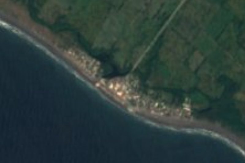

Near Ixtlahuacán




Drive times by road from OpenStreetMap, without traffic. Times marked ~ are estimated from the straight-line distance.
Location from OpenStreetMap. Written by Puebloteca.