

Town Comala, Colima Municipality of Comala Colima and its volcanoes
An indigenous village above Comala known for its carved wooden masks and the Danza de los Morenos.
From Colima: 25 min by car (20 km by road) How to get there ↓
Near here
See everything nearby ↓



Plan your visit to Suchitlán
Tours to Suchitlán
Day trips around Comala sometimes stop in Suchitlán; a tour is the easy way to see it without a car.
 Tours from Manzanillo
Private Chichen Itza & Yaxunah Ruins with Cenote
★ 4.8 (111) · From US$518
How to get to Suchitlán
- From Colima: about 25 min by road (~20 km)
- 8 km northeast of Comala
- Nearest airport: Colima (CLQ), 32 min by car to Comala
Links open a partner site. We may earn a commission if you book, at no cost to you.
Tours from Manzanillo, near Suchitlán


Tours, prices and ratings from Viator, checked weekly. We may earn a commission if you book.
About Suchitlán
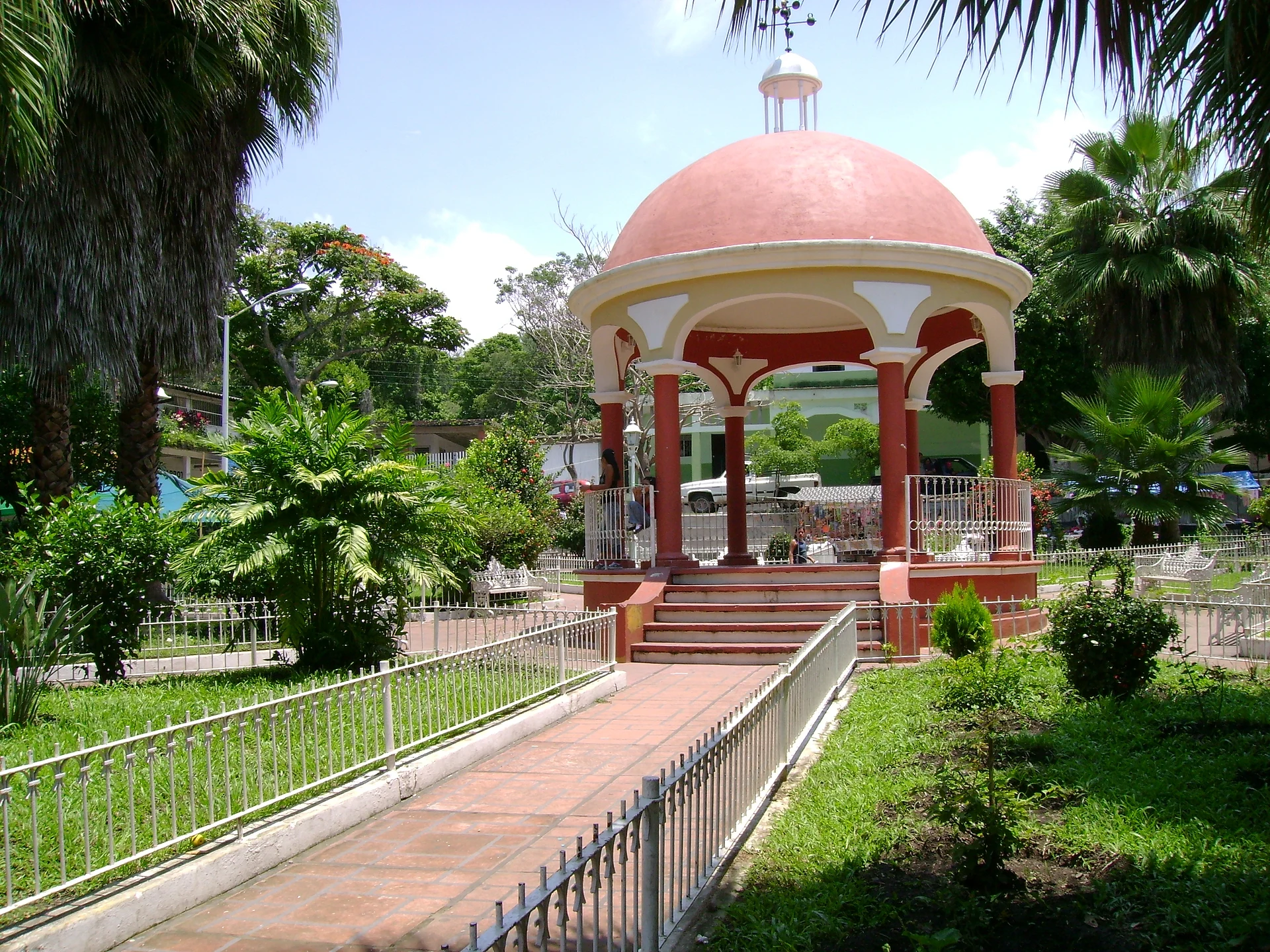
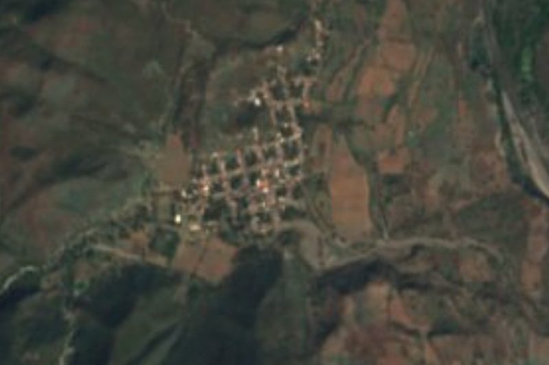
Suchitlán is a village a few kilometers north of Comala, on the road that climbs toward the volcanoes, and a community that keeps its indigenous roots close. It is best known for its mask makers, who carve and paint wooden masks by hand in family workshops, a craft passed down through generations.
The masks are made for the Danza de los Morenos, a dance that blends Nahua and Christian symbolism. The dancers wear brightly painted animal faces, such as coyotes, goats, donkeys, owls and jaguars, along with characters from local stories, and fill the plaza with music and color on Easter Sunday, on Pentecost Sunday, and on the Day of the Holy Cross in May.
The carvers usually work with tzompantle wood, which they cut, hollow out and shape with traditional tools before sanding and painting it. Visiting a workshop is the best way to see the process up close, and buying a mask directly from the person who made it is the best souvenir you can take home from the Comala area.
How to get to Suchitlán
Drive from Colima: 25 min, 20 km
Suchitlán is about 10 minutes north of Comala by car or taxi on the road toward the volcanoes. Local buses and colectivos connect the villages around Comala, but schedules are irregular, so ask in the plaza. Workshops are family homes, so visit at a reasonable hour and ask before taking photos.
8 km northeast of Comala
Directions from Comala on Google Maps
Distances are in a straight line; the road is usually longer.
Links open a partner site. We may earn a commission if you book, at no cost to you.
From the nearest cities to Suchitlán
- Colima · 20 km by road, 25 min
- Tecomán · 66 km by road, 1 h 5 min
- Ciudad Guzmán · 77 km by road, 1 h 10 min
Drive times by road from OpenStreetMap, without traffic or stops. Times marked ~ are estimated from the straight-line distance.
Before you go to Suchitlán: hours, prices and tips
- Best season
- Come for the Danza de los Morenos, danced in masks on the town square on Easter Sunday, Pentecost Sunday and Holy Cross Day (May 3). Milenio · checked Oct 2026
Hours and prices change, especially around holidays. Each fact links to where we checked it.
Visiting Suchitlán: what to see and do
Visit a mask-making workshop and watch the carving and painting.
Buy a mask directly from the artisan who made it.
Come on Easter Sunday, Pentecost Sunday or May 3 to see the Danza de los Morenos in the plaza.
Stop here on the way to Laguna La María, which is farther up the same road.
Plan your trip
Tours & activities
Day trips around Comala sometimes stop in Suchitlán; a tour is the easy way to see it without a car.
Rental cars
Pick up a car at CLQ (Colima): about 32 min by road to Comala, then 8 km more to Suchitlán, on your own schedule.
Flights
The nearest airport with scheduled flights is Colima (CLQ), about 32 min by road from Comala, the base for Suchitlán.
Mobile data
Signal can drop away from Comala: download a map of the way to Suchitlán before you set out, or carry an eSIM with data.
Links open a partner site. We may earn a commission if you book, at no cost to you. Hotel names from OpenStreetMap.
Photos
When to go to Suchitlán warm
Suchitlán shares the climate of Comala, 8 km away. The best months to visit are January, February, November, and December.
See the month-by-month climate of Comala
Weather in Suchitlán now and the next 7 days
Live forecast from Open-Meteo. Chance of rain is the day's highest.
Make Comala your base

Suchitlán is an easy trip from Comala, a Pueblo Mágico with places to stay, food, and more to see.
Also close to
Closest to Suchitlán
-
Laguna Carrizalillos · Lake · 6 km away
-
Nogueras · Town · 7 km away
-
Zona Arqueológica El Chanal · Archaeological site · 9 km away
-
Laguna La María · Lake · 10 km away
-
Zacualpan · Town · 12 km away
-
Zona Arqueológica La Campana · Archaeological site · 12 km away
-
Villa de Álvarez · City · 13 km away · Colima
-
Centro Histórico de Colima · Landmark · 15 km away · Colima


Near Suchitlán


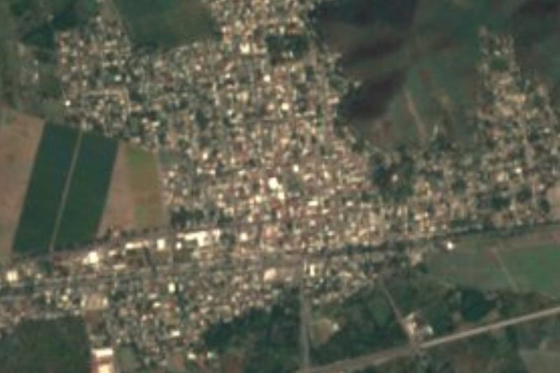

Drive times by road from OpenStreetMap, without traffic. Times marked ~ are estimated from the straight-line distance.
Something wrong or missing on this page? Suggest a fix or addition
Location from OpenStreetMap. Written by Puebloteca.