

Lake Comala, Colima Municipality of Comala Colima and its volcanoes
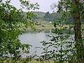
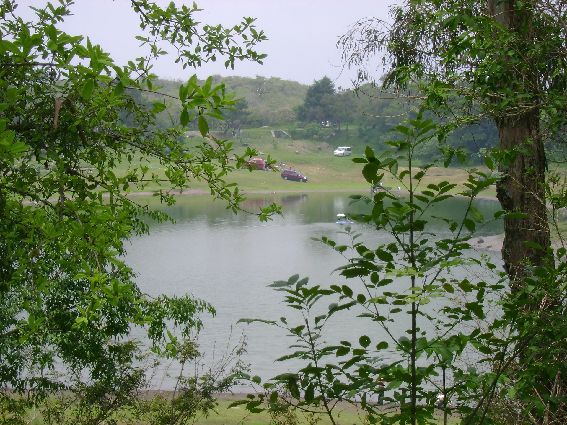
A lake in the pine and oak forest on the volcano's slopes, with boats, kayaks, horses, cabins and camping.
From Colima: 30 min by car (30 km by road) How to get there ↓
Near here
See everything nearby ↓


Plan your visit to Laguna Carrizalillos
Where to stay near Laguna Carrizalillos
Reserva La Cofradia Hotel · 2.2 km from the center Prices Hacienda de San Antonio Hotel · 6.2 km from the center PricesTours to Laguna Carrizalillos
Day trips and guided outings from Comala often include Laguna Carrizalillos; with a local guide you can get there without a car.
 Tours from Manzanillo
Private Chichen Itza & Yaxunah Ruins with Cenote
★ 4.8 (111) · From US$518
How to get to Laguna Carrizalillos
- From Colima: about 30 min by road (~30 km)
- 14 km northeast of Comala
- Nearest airport: Colima (CLQ), 32 min by car to Comala
Links open a partner site. We may earn a commission if you book, at no cost to you.
Tours from Manzanillo, near Laguna Carrizalillos


Tours, prices and ratings from Viator, checked weekly. We may earn a commission if you book.
About Laguna Carrizalillos
Laguna Carrizalillos is a lake on the lower slopes of the Volcán de Colima, at about 1,425 meters above sea level and roughly 25 minutes from Comala. Pines, oaks and eucalyptus surround the water, and the air is pleasantly mild for most of the day.
A recreation center on the shore rents rowboats, kayaks and horses, and there are cabins, a camping area and a restaurant. The lake is stocked with largemouth bass, so it is a popular spot for fishing, and a short forest trail loops around the shore with views of the lake and of the volcano.
Carrizalillos is a good alternative or complement to the better-known Laguna La María, a little farther up the mountain. It is closer to town, easy for families, and on clear days offers some of the best views of the Volcán de Fuego, which is why photographers come here at dawn.
How to get to Laguna Carrizalillos
Drive from Colima: 30 min, 30 km
From Comala, take the road north-east toward the volcano; the lake is about 25 minutes away by car. Public transport is limited, so a car or taxi is best. An entrance fee is usually charged; check hours and cabin availability before going.
14 km northeast of Comala
Directions from Comala on Google Maps
Distances are in a straight line; the road is usually longer.
Links open a partner site. We may earn a commission if you book, at no cost to you.
From the nearest cities to Laguna Carrizalillos
- Colima · 30 km by road, 30 min
- Ciudad Guzmán · 65 km by road, 55 min
- Tecomán · 76 km by road, 1 h 15 min
Drive times by road from OpenStreetMap, without traffic or stops. Times marked ~ are estimated from the straight-line distance.
Visiting Laguna Carrizalillos: what to see and do
Rent a rowboat or kayak and paddle across the lake.
Walk the short forest trail around the shore.
Fish for largemouth bass.
Ride a horse through the surrounding woods.
Stay overnight in a cabin or campsite to see the volcano at dawn.
Plan your trip
Places to stay in Laguna Carrizalillos
Reserva La Cofradia Hotel · 2.2 km from the center Find on Expedia Hacienda de San Antonio Hotel · 6.2 km from the center Find on ExpediaTours & activities
Day trips and guided outings from Comala often include Laguna Carrizalillos; with a local guide you can get there without a car.
Rental cars
Pick up a car at CLQ (Colima): about 32 min by road to Comala, then 14 km more to Laguna Carrizalillos, on your own schedule.
Flights
The nearest airport with scheduled flights is Colima (CLQ), about 32 min by road from Comala, the base for Laguna Carrizalillos.
Travel insurance
If you plan on swimming or kayaking at Laguna Carrizalillos, check that your policy covers it: some plans leave adventure activities out.
Mobile data
Signal can drop away from Comala: download a map of the way to Laguna Carrizalillos before you set out, or carry an eSIM with data.
Links open a partner site. We may earn a commission if you book, at no cost to you. Hotel names from OpenStreetMap.
Photos
When to go to Laguna Carrizalillos warm
Laguna Carrizalillos shares the climate of Comala, 14 km away. The best months to visit are January, February, November, and December.
Laguna Carrizalillos is best for swimming and time on the water in the warmest months (March, April, and May); in the rainiest ones (July, August, and September) expect storms in the afternoon.
See the month-by-month climate of Comala
Weather in Laguna Carrizalillos now and the next 7 days
Live forecast from Open-Meteo. Chance of rain is the day's highest.
Make Comala your base

Laguna Carrizalillos is an easy trip from Comala, a Pueblo Mágico with places to stay, food, and more to see.
Also close to
Closest to Laguna Carrizalillos
-
Laguna La María · Lake · 6 km away
-
Suchitlán · Town · 6 km away
-
Nogueras · Town · 12 km away
-
Tonila · Town · 13 km away · Jalisco
-
Volcán de Colima · Mountain · 13 km away
-
Zona Arqueológica El Chanal · Archaeological site · 14 km away
-
Zacualpan · Town · 17 km away
-
Zona Arqueológica La Campana · Archaeological site · 17 km away
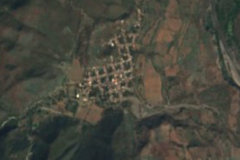

Near Laguna Carrizalillos


Drive times by road from OpenStreetMap, without traffic. Times marked ~ are estimated from the straight-line distance.
Lists with Laguna Carrizalillos
Lakes and Lagoons in Colima · 3 Lakes and Lagoons near Ciudad Guzmán · 4Something wrong or missing on this page? Suggest a fix or addition
Location from OpenStreetMap. Written by Puebloteca.