

Mountain Colima Colima and its volcanoes
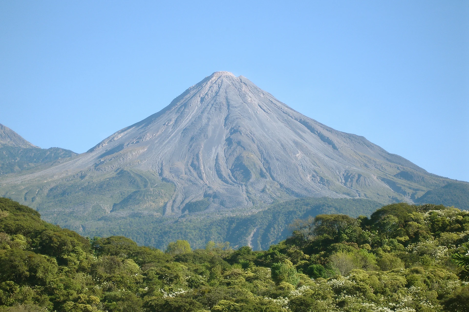
One of Mexico's most active volcanoes, towering over Comala; the summit area is off-limits, but it is a dramatic sight from the valley.
From Ciudad Guzmán: 1 h 10 min by car (36 km by road) How to get there ↓
Near here
See everything nearby ↓


Plan your visit to Volcán de Colima
Where to stay near Volcán de Colima
Comala, 26 km away, is the closest town with places to stay.
Hostal el Naranjo Guest house · 360 m from the center Prices Hostal El Naranjo Guest house · 430 m from the center PricesTours to Volcán de Colima
Day trips and guided outings from Comala often include Volcán de Colima; with a local guide you can get there without a car.
 Tours from Manzanillo
Private Chichen Itza & Yaxunah Ruins with Cenote
★ 4.8 (111) · From US$518
How to get to Volcán de Colima
- From Ciudad Guzmán: about 1 h 10 min by road (~36 km)
- 26 km northeast of Comala
- Nearest airport: Colima (CLQ), 32 min by car to Comala
Links open a partner site. We may earn a commission if you book, at no cost to you.
Tours from Manzanillo, near Volcán de Colima


Tours, prices and ratings from Viator, checked weekly. We may earn a commission if you book.
About Volcán de Colima
The Volcán de Colima, also called the Volcán de Fuego, is the volcano that dominates the view north of Comala. At about 4,260 meters it is one of the most active volcanoes in Mexico and North America, and it has erupted more than 40 times since 1576; one of its largest eruptions was in January 1913. Its taller, extinct neighbor, the Nevado de Colima, rises about 5 kilometers to the north.
Despite its name, most of the volcano lies in the state of Jalisco. Its activity has shaped the whole region: the eruption of 1576 destroyed the old town of Amula, and its ash has made the soils of the Comala valley so fertile for coffee and sugar cane.
The summit area of the Volcán de Fuego is closed to visitors because of the risk, so the way to enjoy it is from below. On clear mornings it rises above Comala's rooftops, and some of the best views are from Laguna La María, Laguna Carrizalillos and the roads that climb from Comala toward the volcano.
How to get to Volcán de Colima
Drive from Ciudad Guzmán: 1 h 10 min, 36 km
The volcano is about 25 kilometers north-north-east of Comala. You can see it from town on clear days; for closer views, drive 30 to 40 minutes north to Laguna La María or about 25 minutes to Laguna Carrizalillos. The summit area of the Volcán de Fuego is restricted; the Nevado de Colima national park is reached from the Jalisco side, a much longer trip.
26 km northeast of Comala
Directions from Comala on Google Maps
Distances are in a straight line; the road is usually longer.
Links open a partner site. We may earn a commission if you book, at no cost to you.
From the nearest cities to Volcán de Colima
- Ciudad Guzmán · 36 km by road, 1 h 10 min
- Colima · 103 km by road, 2 h
- Autlán · 131 km by road, 2 h 40 min
Drive times by road from OpenStreetMap, without traffic or stops. Times marked ~ are estimated from the straight-line distance.
Before you go to Volcán de Colima: hours, prices and tips
- Rules
- Still an active volcano under round-the-clock watch by the University of Colima volcano observatory and state civil protection. Climbing toward the crater is not allowed: a permanent exclusion zone around the summit applies, so stay out of unauthorised areas and keep to the access restrictions. Azteca Jalisco (Protección Civil Colima / CUEV) · checked Oct 2026
Hours and prices change, especially around holidays. Each fact links to where we checked it.
Visiting Volcán de Colima: what to see and do
Watch the volcano at dawn from Comala, when the sky is usually clearest.
Get closer views from Laguna La María or Laguna Carrizalillos.
Drive the roads that climb north from Comala through coffee country toward the volcano.
Check Civil Protection notices for current activity and restrictions before any trip toward the volcano.
Plan your trip
Places to stay in Volcán de Colima
Compare hotels, posadas, and rentals in and around Volcán de Colima.
Tours & activities
Day trips and guided outings from Comala often include Volcán de Colima; with a local guide you can get there without a car.
Rental cars
Pick up a car at CLQ (Colima): about 32 min by road to Comala, then 26 km more to Volcán de Colima, on your own schedule.
Flights
The nearest airport with scheduled flights is Colima (CLQ), about 32 min by road from Comala, the base for Volcán de Colima.
Travel insurance
If you plan on hiking at altitude at Volcán de Colima, check that your policy covers it: some plans leave adventure activities out.
Mobile data
Signal can drop away from Comala: download a map of the way to Volcán de Colima before you set out, or carry an eSIM with data.
Links open a partner site. We may earn a commission if you book, at no cost to you.
Photos
When to go to Volcán de Colima warm
Volcán de Colima shares the climate of Comala, 26 km away. The best months to visit are January, February, November, and December.
For the clearest views from Volcán de Colima, go in the driest months (March, April, May, and December); in the rains, clouds tend to build up by midday.
See the month-by-month climate of Comala
Weather in Volcán de Colima now and the next 7 days
Live forecast from Open-Meteo. Chance of rain is the day's highest.
Make Comala your base

Volcán de Colima is an easy trip from Comala, a Pueblo Mágico with places to stay, food, and more to see.
Also close to
Closest to Volcán de Colima
-
Nevado de Colima · Mountain · 6 km away · Jalisco
-
Laguna La María · Lake · 11 km away
-
Laguna Carrizalillos · Lake · 13 km away
-
Tonila · Town · 13 km away · Jalisco
-
Suchitlán · Town · 18 km away
-
Copala · Village · 20 km away · Jalisco
-
Zapotitlán de Vadillo · Village · 21 km away · Jalisco
-
Nogueras · Town · 25 km away


Near Volcán de Colima
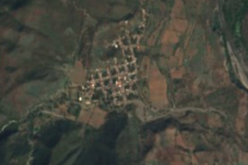


Drive times by road from OpenStreetMap, without traffic. Times marked ~ are estimated from the straight-line distance.
Something wrong or missing on this page? Suggest a fix or addition
Location from OpenStreetMap. Written by Puebloteca.