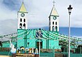
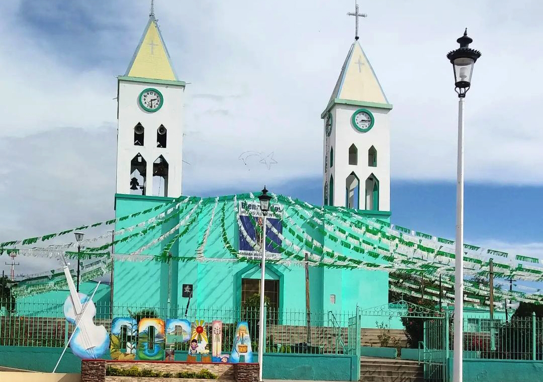
Village Tolimán, Jalisco
Village in Tolimán near the Nevado de Colima, with petroglyphs, caves and a San Martín de Tours fiesta that runs through early November.
From Ciudad Guzmán: 50 min by car (50 km by road) How to get there ↓
Near here
See everything nearby ↓


Plan your visit to Copala
Where to stay near Copala
Compare hotels, posadas and guest houses in Copala.
Tours to Copala
Day trips and guided outings from Comala often include Copala; with a local guide you can get there without a car.
 Tours from Manzanillo
Private Chichen Itza & Yaxunah Ruins with Cenote
★ 4.8 (111) · From US$518
How to get to Copala
- From Ciudad Guzmán: about 50 min by road (~50 km)
- Nearest airport: Colima (CLQ), 32 min by car to Comala
Links open a partner site. We may earn a commission if you book, at no cost to you.
Tours from Manzanillo, near Copala


Tours, prices and ratings from Viator, checked weekly. We may earn a commission if you book.
About Copala
Copala (also written Cópala) is a village in the municipality of Tolimán in southern Jalisco, at about 1,420 metres above sea level with the Nevado de Colima for a neighbour. The name comes from Nahuatl and refers to a place where copal, a tree resin, is plentiful. The 2010 census counted 2,709 people. The climate is semi-dry and temperate, with a mean temperature of 17.5 °C and about 676 mm of rain a year, mostly from June to October, and the hills carry pine, cedar and oak.
Before the Spanish arrived the region was home to Toltec, Otomí and Nahua peoples, within the Amula domain. In 1533 the Franciscan friar Juan de Padilla began evangelisation and founded the village of San Pedro, which an earthquake destroyed in 1539. A plague in 1575 and 1576 killed many residents, and the 1576 eruption of the Volcán de Fuego flattened Amula, whose people moved to Zapotitlán and Jiquilpan.
The biggest event in village life is the fiesta of San Martín de Tours, which opens on the penultimate Sunday of October with the handing out of décimas, starts the fair on the last Sunday and ends on 11 November with a mass attended by the bishop of Colima. Around the village are a cave about 2 km to the west, a ravine with petroglyphs of spirals, circles and stylised figures, the hermitage of the Virgen del Camino to the east, and two giant footprints at the edge of town tied to local legends. Farmers grow maize, beans, squash, chile and agave, and the village makes mezcal, dairy products, clay pots, molcajetes, huaraches and palm goods.
How to get to Copala
Drive from Ciudad Guzmán: 50 min, 50 km
Copala is reached from the Guadalajara–Colima highway. After Ciudad Guzmán, take the turn-off toward El Grullo and, once down from the Nevado de Colima range, the road that branches left toward Zapotitlán. The village lies northeast of the municipal seat of Tolimán. Ciudad Guzmán is the nearest city, about 34 km in a straight line (approx.), and there are no published bus lines straight to Copala; the practical way is to get to Ciudad Guzmán or Tolimán and continue by taxi or local transport.
Directions to Copala on Google Maps
Distances are in a straight line; the road is usually longer.
Links open a partner site. We may earn a commission if you book, at no cost to you.
From the nearest cities to Copala
- Ciudad Guzmán · 50 km by road, 50 min
- Colima · 83 km by road, 1 h 20 min
- Autlán · 85 km by road, 1 h 20 min
Drive times by road from OpenStreetMap, without traffic or stops. Times marked ~ are estimated from the straight-line distance.
Before you go to Copala: hours, prices and tips
- Best season
- San Martín de Tours: penultimate Sunday of October to 11 November; Day of the Dead 2 November; San Isidro Labrador 15 May; Three Kings 6 January. Wikipedia: Copala (Jalisco) · checked Oct 2026
Hours and prices change, especially around holidays. Each fact links to where we checked it.
Visiting Copala: what to see and do
Visit the village church and plaza.
Come for the San Martín de Tours fiesta, late October to 11 November.
Look for the petroglyphs in the ravine, with spirals, circles and stylised figures.
Climb to the Ermita de la Virgen del Camino, east of the village.
See the two giant footprints at the edge of town and hear their legends.
Plan your trip
Places to stay in Copala
Compare hotels, posadas, and rentals in and around Copala.
Tours & activities
Day trips and guided outings from Comala often include Copala; with a local guide you can get there without a car.
Rental cars
Pick up a car at CLQ (Colima): about 32 min by road to Comala, then 32 km more to Copala, on your own schedule.
Flights
The nearest airport with scheduled flights is Colima (CLQ), about 32 min by road from Comala, the base for Copala.
Mobile data
Signal can drop away from Comala: download a map of the way to Copala before you set out, or carry an eSIM with data.
Links open a partner site. We may earn a commission if you book, at no cost to you.
When to go to Copala warm
Copala shares the climate of Comala, 32 km away. The best months to visit are January, February, November, and December.
See the month-by-month climate of Comala
Weather in Copala now and the next 7 days
Live forecast from Open-Meteo. Chance of rain is the day's highest.
The closest Pueblo Mágico: Comala

Comala is the Pueblo Mágico closest to Copala, with places to stay, food, and more to see.
Also close to
Closest to Copala
-
Zapotitlán de Vadillo · Village · 8 km away
-
San Gabriel · Town · 15 km away
-
Tolimán · Town · 15 km away
-
Laguna La María · Lake · 18 km away
-
Nevado de Colima · Mountain · 18 km away
-
Volcán de Colima · Mountain · 20 km away
-
Laguna Carrizalillos · Lake · 24 km away
-
Tuxcacuesco · Village · 24 km away


Near Copala


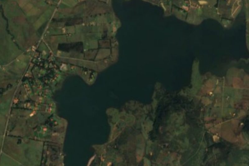


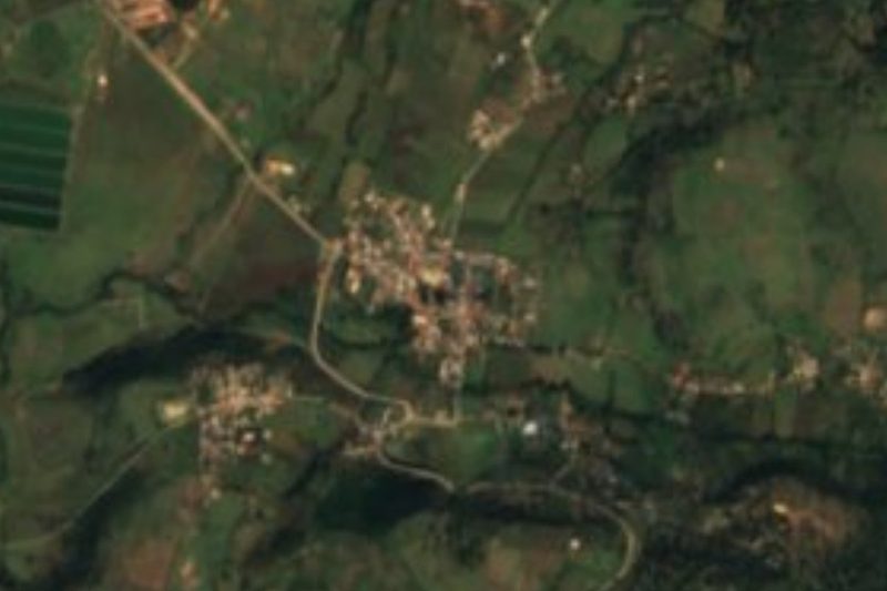


Drive times by road from OpenStreetMap, without traffic. Times marked ~ are estimated from the straight-line distance.
Location from OpenStreetMap. Written by Puebloteca.