Town Tolimán, Jalisco
Municipal seat in southern Jalisco at 740 m, below the Sierra de Manantlán; its church of the Asunción holds the town fair in August.
From Ciudad Guzmán: 1 h 25 min by car (67 km by road) How to get there ↓
Near here
See everything nearby ↓


Plan your visit to Tolimán
Where to stay near Tolimán
Compare hotels, posadas and guest houses in Tolimán.
Tours to Tolimán
Day trips around Comala sometimes stop in Tolimán; a tour is the easy way to see it without a car.
 Tours from Manzanillo
Private Chichen Itza & Yaxunah Ruins with Cenote
★ 4.8 (111) · From US$518
How to get to Tolimán
- From Ciudad Guzmán: about 1 h 25 min by road (~67 km)
- Nearest airport: Colima (CLQ), 32 min by car to Comala
Links open a partner site. We may earn a commission if you book, at no cost to you.
Tours from Manzanillo, near Tolimán


Tours, prices and ratings from Viator, checked weekly. We may earn a commission if you book.
About Tolimán
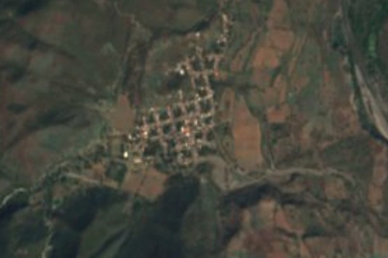
Tolimán is the seat of the municipality of the same name in southern Jalisco, at 740 metres above sea level. The name is Nahuatl and means "where the tule is cut" or "place where tule reeds abound". The 2020 census counted 1,451 people in the town, out of 11,219 in the municipality, which has 39 localities; the largest in the municipality is Copala. More than half the municipal territory, 55.9%, is protected natural area, part of it in the Sierra de Manantlán, which lies to the west and south.
The first inhabitants were Otomí people subject to the lordship of Zapotitlán, and the Spaniards on their way to conquer the Colima region took these lands between 1523 and 1525. In 1890 it was a commissariat with the rank of pueblo under the department of San Gabriel, and on the initiative of Father Ávila Orozco it became a municipality by decree of 5 April 1895. In 1928 its territory grew with part of Cerro Grande, lost by Tuxcacuesco, and with the commissariat of Santa Elena, Copala and other areas ceded by Zapotitlán de Vadillo.
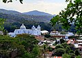
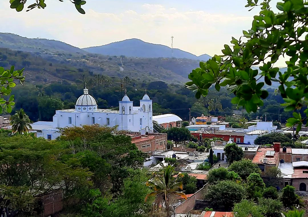
In town stand the church of the Asunción, visible against the hills that ring the settlement, and the main garden. The main fiesta is that of the Virgen de la Asunción, listed for 6 to 15 August, with the 15th as the main day: masses, processions, chirimía music, a parade and the crowning of the fair queen. Other dates in the calendar are San Francisco de Asís on 4 October, the Virgen de Guadalupe on 12 December and the pastorelas from 24 December to 6 January in Tolimán, Teutlán and Copala.
The municipality makes mezcal and dairy products on a small scale, raises cattle and grows maize, sorghum, tomato, chile and beans. Its attractions include the church of San Francisco in Teutlán, the Grutas del Torín, the San Pedro and Paso Real beaches, which fill up in Holy Week, and the hills El Muñeco, Toxín and El Petacal.
How to get to Tolimán
Drive from Ciudad Guzmán: 1 h 25 min, 67 km
Tolimán is about 62 km from Ciudad Guzmán by road, roughly 1 hour 17 minutes by car. From Guadalajara it is about 193 km and 2 hours 30 minutes: take federal highway 54/54D toward Colima and Manzanillo, then the Ciudad Guzmán–La Mesa y El Fresnito road (JAL-428) and state roads through San Gabriel to Tolimán (JAL-427 and 429 on one route planner's layout; check a map before leaving). There are no published schedules for direct buses to Tolimán; long-distance services reach Ciudad Guzmán, and from there you continue by local transport or taxi. In a straight line the town is about 44 km from Colima and 35 km from Comala (a Pueblo Mágico in Colima).
Directions to Tolimán on Google Maps
Distances are in a straight line; the road is usually longer.
Links open a partner site. We may earn a commission if you book, at no cost to you.
From the nearest cities to Tolimán
- Ciudad Guzmán · 67 km by road, 1 h 25 min
- Colima · 89 km by road, 1 h 40 min
- Autlán · 87 km by road, 1 h 45 min
Drive times by road from OpenStreetMap, without traffic or stops. Times marked ~ are estimated from the straight-line distance.
Before you go to Tolimán: hours, prices and tips
- Best season
- Fiesta of the Virgen de la Asunción 6-15 August (main day the 15th); San Francisco de Asís on 4 October; Virgen de Guadalupe on 12 December; pastorelas 24 December to 6 January. Wikipedia, Municipio de Tolimán (Jalisco) · checked Oct 2026
Hours and prices change, especially around holidays. Each fact links to where we checked it.
Visiting Tolimán: what to see and do
The church of the Asunción and the main garden.
The fair of the Virgen de la Asunción, 6 to 15 August.
The church of San Francisco in Teutlán, in the same municipality.
The Grutas del Torín and the San Pedro and Paso Real beaches, in the municipality.
The pastorelas from 24 December to 6 January.
Plan your trip
Places to stay in Tolimán
Compare hotels, posadas, and rentals in and around Tolimán.
Tours & activities
Day trips around Comala sometimes stop in Tolimán; a tour is the easy way to see it without a car.
Rental cars
Pick up a car at CLQ (Colima): about 32 min by road to Comala, then 35 km more to Tolimán, on your own schedule.
Flights
The nearest airport with scheduled flights is Colima (CLQ), about 32 min by road from Comala, the base for Tolimán.
Mobile data
Signal can drop away from Comala: download a map of the way to Tolimán before you set out, or carry an eSIM with data.
Links open a partner site. We may earn a commission if you book, at no cost to you.
When to go to Tolimán warm
Tolimán shares the climate of Comala, 35 km away. The best months to visit are January, February, November, and December.
See the month-by-month climate of Comala
Weather in Tolimán now and the next 7 days
Live forecast from Open-Meteo. Chance of rain is the day's highest.
The closest Pueblo Mágico: Comala

Comala is the Pueblo Mágico closest to Tolimán, with places to stay, food, and more to see.
Also close to
Closest to Tolimán
-
Zapotitlán de Vadillo · Village · 12 km away
-
Tuxcacuesco · Village · 13 km away
-
Copala · Village · 15 km away
-
San Gabriel · Town · 23 km away
-
Laguna La María · Lake · 26 km away
-
Zacualpan · Town · 28 km away
-
Nevado de Colima · Mountain · 32 km away
-
Laguna Carrizalillos · Lake · 33 km away


Near Tolimán


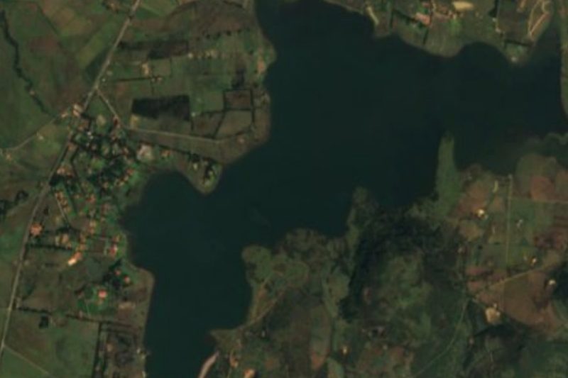


Drive times by road from OpenStreetMap, without traffic. Times marked ~ are estimated from the straight-line distance.
Location from OpenStreetMap. Written by Puebloteca.