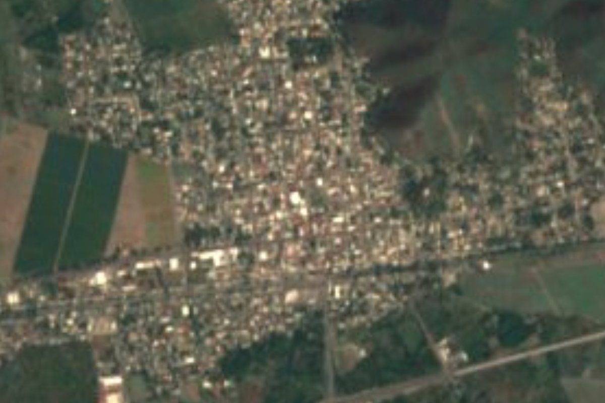
Town Armería, Colima Municipality of Armería Colima coast
Farm town on the Armería river, the seat of Colima's youngest municipality and the gateway to the beaches of Cuyutlán and El Paraíso.
From Tecomán: 10 min by car (14 km by road) How to get there ↓
Near here
See everything nearby ↓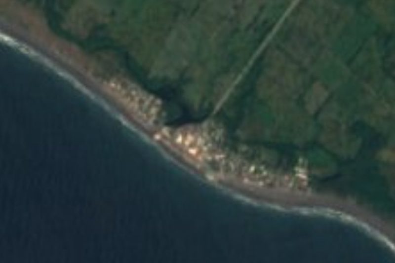


Plan your visit to Armería
Where to stay near Armería
Compare hotels, posadas and guest houses in Armería.
Tours to Armería
Day trips around Comala sometimes stop in Armería; a tour is the easy way to see it without a car.
 Tours from Manzanillo
Private Chichen Itza & Yaxunah Ruins with Cenote
★ 4.8 (111) · From US$518
How to get to Armería
- From Tecomán: about 10 min by road (~14 km)
- Nearest airport: Colima (CLQ), 32 min by car to Comala
Links open a partner site. We may earn a commission if you book, at no cost to you.
Tours from Manzanillo, near Armería


Tours, prices and ratings from Viator, checked weekly. We may earn a commission if you book.
About Armería
Armería, officially Ciudad de Armería, is a small city on Colima's coastal plain, beside the river of the same name and about 13 km west of Tecomán, with whose metropolitan area it is counted. It had 15,368 people at the 2020 census (27,626 in the whole municipality), making it the fifth-largest community in the state, and it stands only about 20 metres above sea level. The climate is hot, with an average of about 26 °C and most rain in July, August and September. Around it lie fields and orchards of limes, mangoes, papayas, bananas, tamarind, sorghum, maize and coconut palms; the local agro-industry packs limes and turns coconuts into grated coconut and fibre, and salt is still taken from the beds around the Laguna de Cuyutlán.
The origin of the name is disputed. One story says boats were fitted out here; another, that in colonial times a post of viceregal guards stood here to protect travellers on the Camino Real between Colima and the coast from bandits; a third points to a hacienda of that name, which later became the core of the town. Older names recorded for the place include Nagualapa and Mahuala. The railway arrived in 1882, and the area suffered badly in the earthquake and tsunami of 22 June 1932, which wrecked Cuyutlán. Armería became a pueblo within the municipality of Manzanillo by a decree of 29 April 1935, was made a municipality in its own right on 3 June 1967, making it the youngest in Colima, and was raised to city status on 1 October 1988.
Most visitors pass through on their way to the sea. Armería's two beach towns lie in the municipality: Cuyutlán, with its salt museum, turtle camp and the famous Ola Verde swells of spring, and El Paraíso, a hamlet of a few hundred people about 7 km from town where more than 30 ramadas serve ceviche, pescado zarandeado, garlic prawns and octopus on a dark-sand beach. El Paraíso fills up above all at Easter, its waves draw surfers and windsurfers, and boat trips run through the nearby mangrove estuary to see birds. On a hill at the edge of Armería stands a monumental head of Benito Juárez.
How to get to Armería
Drive from Tecomán: 10 min, 14 km
Armería is about 50 km from the city of Colima, roughly 40–50 minutes by car on the highway toward Tecomán and Manzanillo, and about 13 km from Tecomán. Buses between Manzanillo and Tecomán often stop here, and Nuevo Horizonte and Sur de Jalisco buses connect Armería with Colima, Manzanillo and Tecomán. From town, taxis and local vans run to Cuyutlán.
Directions to Armería on Google Maps
Distances are in a straight line; the road is usually longer.
Links open a partner site. We may earn a commission if you book, at no cost to you.
From the nearest cities to Armería
- Tecomán · 14 km by road, 10 min
- Manzanillo · 47 km by road, 35 min
- Colima · 52 km by road, 50 min
Drive times by road from OpenStreetMap, without traffic or stops. Times marked ~ are estimated from the straight-line distance.
Before you go to Armería: hours, prices and tips
- Best season
- Easter week (Semana Santa) is the busiest time at El Paraíso beach; the Ola Verde can be seen at Cuyutlán in late May; the rainiest months are July to September. Wikipedia (es) · checked Oct 2026
Hours and prices change, especially around holidays. Each fact links to where we checked it.
Visiting Armería: what to see and do
See the monumental head of Benito Juárez on the hill at the edge of town.
Eat seafood in the ramadas of El Paraíso beach, about 7 km away.
Take a boat through the mangrove estuary near El Paraíso to watch birds.
Visit Cuyutlán for its salt museum, turtle camp and black-sand beach, about 14 km west.
Watch the surf contest at El Paraíso in October.
Plan your trip
Places to stay in Armería
Compare hotels, posadas, and rentals in and around Armería.
Tours & activities
Day trips around Comala sometimes stop in Armería; a tour is the easy way to see it without a car.
Rental cars
Pick up a car at CLQ (Colima): about 32 min by road to Comala, then 48 km more to Armería, on your own schedule.
Flights
The nearest airport with scheduled flights is Colima (CLQ), about 32 min by road from Comala, the base for Armería.
Mobile data
Signal can drop away from Comala: download a map of the way to Armería before you set out, or carry an eSIM with data.
Links open a partner site. We may earn a commission if you book, at no cost to you.
When to go to Armería warm
Armería shares the climate of Comala, 48 km away. The best months to visit are January, February, November, and December.
See the month-by-month climate of Comala
Weather in Armería now and the next 7 days
Live forecast from Open-Meteo. Chance of rain is the day's highest.
The closest Pueblo Mágico: Comala

Comala is the Pueblo Mágico closest to Armería, with places to stay, food, and more to see.
Closest to Armería
-
El Paraíso · Village · 7 km away
-
Boca de Pascuales · Beach · 9 km away
-
Tecomán · City · 10 km away
-
Cuyutlán · Village · 11 km away
-
Laguna de Cuyutlán · Lagoon · 35 km away
-
Manzanillo · City · 39 km away
-
Centro Histórico de Colima · Landmark · 42 km away
-
Colima · City · 42 km away


Near Armería


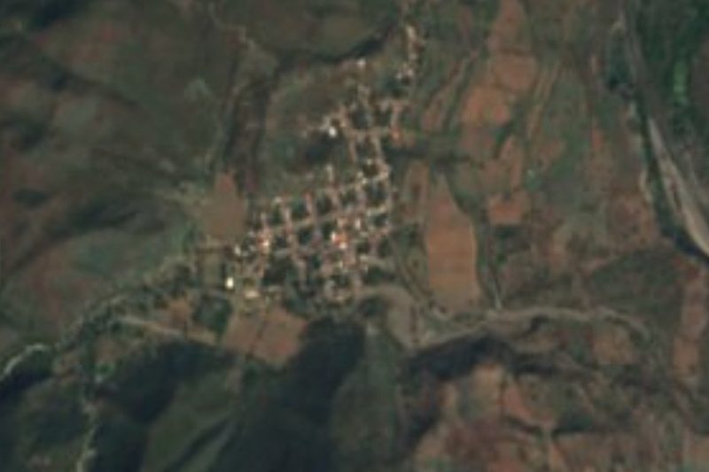
Drive times by road from OpenStreetMap, without traffic. Times marked ~ are estimated from the straight-line distance.
Location from OpenStreetMap. Written by Puebloteca.