Town Cihuatlán, Jalisco Municipality of Cihuatlán
Market town and seat of Jalisco's southern coast on the Marabasco River, minutes from Barra de Navidad and Manzanillo airport.
From Manzanillo: 40 min by car (49 km by road) How to get there ↓
Near here
See everything nearby ↓


Plan your visit to Cihuatlán
Where to stay near Cihuatlán
Compare hotels, posadas and guest houses in Cihuatlán.
Tours to Cihuatlán
Day trips around Comala sometimes stop in Cihuatlán; a tour is the easy way to see it without a car.
 Tours from Manzanillo
Private Chichen Itza & Yaxunah Ruins with Cenote
★ 4.8 (111) · From US$518
How to get to Cihuatlán
- From Manzanillo: about 40 min by road (~49 km)
- Nearest airport: Colima (CLQ), 32 min by car to Comala
Links open a partner site. We may earn a commission if you book, at no cost to you.
Tours from Manzanillo, near Cihuatlán


Tours, prices and ratings from Viator, checked weekly. We may earn a commission if you book.
About Cihuatlán
Cihuatlán is the seat of the southernmost municipality on the Jalisco coast, set on the flood plain of the Marabasco River, which forms the border with Colima here. It sits only 13 metres above sea level but inland, about 17 km from Barra de Navidad, and coastal Highway 200 runs straight through town. The 2020 census counted 18,787 people. The municipality also takes in Barra de Navidad, San Patricio Melaque and Jaluco, so Cihuatlán is the working town of the Bahía de Navidad, where people come to shop, sell produce and deal with paperwork. It is hot all year, averaging about 26.5 °C, with rain from June to August.
The name comes from Nahuatl and is translated as "place of women". Conquest-era accounts say the town, which answered to the chiefdom of Cuzalapa, had some 500 women and only 20 men, and in 1528 Hernán Cortés described it to the king as an island of women rich in pearls and gold. Before the Spanish arrived, Cihuatlán paid tribute in cacao, cotton cloth and seashells. Gonzalo de Sandoval reached this coast in 1523, and in 1564 the fleet of Legazpi and Urdaneta sailed for the Philippines from the Navidad shipyard, inside today's municipality.
Today's Cihuatlán is not where the original stood. On 29 September 1865 a huge flood, remembered as "la borrasca", swept across the valley and destroyed the town; when the water went down the river was running through the middle of the plaza. In 1867 the parish priest Rafael N. Murguía chose higher, healthier ground, and the chapel of La Purísima he began there is now the parish church. It has had to be rebuilt several times: earthquakes in 1904 and on 3 July 1932 damaged it, its clock was inaugurated on 2 May 1944, and it was rebuilt again after the earthquake of 9 October 1995. Cihuatlán became a municipality on 12 September 1904. In the late 19th and early 20th centuries the valley was planted with cotton, led by Heliodoro Trujillo, whose name the main street carrying the highway still bears.
Farming still runs the place: the valley is given over to crops and cattle, and local cooking means pozole, birria, fish and seafood, with coconut and tamarind sweets and fresh coconut water. Local craftspeople carve fine woods, work coconut fibre and leather, and make clay water jars. Townspeople still tell the story of the US steamer Golden Gate, which caught fire and sank near the mouth of the Marabasco on 21 July 1862 carrying a cargo of gold that, so the legend goes, was never fully recovered.
How to get to Cihuatlán
Drive from Manzanillo: 40 min, 49 km
Cihuatlán lies on federal Highway 200 (Manzanillo–Puerto Vallarta), which runs through town along Calle Heliodoro Trujillo and Calle Ocampo; there is also a bypass. Barra de Navidad is about 17 km away, roughly 15 minutes, and Manzanillo's Playa de Oro International Airport about 13 km south, roughly 15 minutes. Manzanillo is 30 to 45 minutes away depending on where you start, and Guadalajara about 330 km, roughly 4 hours via the highway to Colima and Manzanillo.
By bus from Manzanillo, Autocamiones del Pacífico runs about every hour (around 45 minutes), and Primera Plus and ETN Turistar have a few departures a day. From Guadalajara, Primera Plus runs direct from the Nueva Central Camionera (module 1) about three times a day, taking around 5 h 25 min; alternatively take Autocamiones del Pacífico or Autovías to Manzanillo (about 4 hours) and change to a coastal bus. Cihuatlán's bus station is at Calle Melchor Ocampo 51 in the centre. The nearest Pueblo Mágico is Comala, in Colima, about 146 km by road, roughly 2 hours.
Directions to Cihuatlán on Google Maps
Distances are in a straight line; the road is usually longer.
Links open a partner site. We may earn a commission if you book, at no cost to you.
From the nearest cities to Cihuatlán
- Manzanillo · 49 km by road, 40 min
- Tecomán · 99 km by road, 1 h 10 min
- Colima · 138 km by road, 1 h 50 min
Drive times by road from OpenStreetMap, without traffic or stops. Times marked ~ are estimated from the straight-line distance.
Before you go to Cihuatlán: hours, prices and tips
- Best season
- Spring Fair and Holy Cross feast 24 April–3 May, with jaripeos, bullfights, dances, serenades, fireworks and the crowning of the fair queen; cultural week in April; Our Lady of Guadalupe on 12 December. Enciclopedia de los Municipios de México (INAFED) · checked Oct 2026
Hours and prices change, especially around holidays. Each fact links to where we checked it.
Visiting Cihuatlán: what to see and do
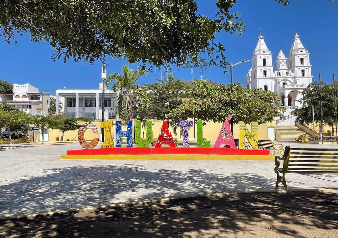
The parish church, built over the 1867 chapel of La Purísima and rebuilt after several earthquakes, facing the main plaza.
The Marabasco River, the border with Colima, which wiped out the old town in 1865.
Pozole, birria, seafood, coconut and tamarind sweets and coconut water.
Crafts in carved wood, coconut fibre, leather and clay jars.
The beaches of Barra de Navidad and Melaque, about 15 minutes away.
Plan your trip
Places to stay in Cihuatlán
Compare hotels, posadas, and rentals in and around Cihuatlán.
Tours & activities
Day trips around Comala sometimes stop in Cihuatlán; a tour is the easy way to see it without a car.
Rental cars
Pick up a car at CLQ (Colima): about 32 min by road to Comala, then 85 km more to Cihuatlán, on your own schedule.
Flights
The nearest airport with scheduled flights is Colima (CLQ), about 32 min by road from Comala, the base for Cihuatlán.
Mobile data
Signal can drop away from Comala: download a map of the way to Cihuatlán before you set out, or carry an eSIM with data.
Links open a partner site. We may earn a commission if you book, at no cost to you.
When to go to Cihuatlán warm
Cihuatlán shares the climate of Comala, 85 km away. The best months to visit are January, February, November, and December.
See the month-by-month climate of Comala
Weather in Cihuatlán now and the next 7 days
Live forecast from Open-Meteo. Chance of rain is the day's highest.
The closest Pueblo Mágico: Comala

Comala is the Pueblo Mágico closest to Cihuatlán, with places to stay, food, and more to see.
Closest to Cihuatlán
-
Barra de Navidad · Village · 13 km away
-
San Patricio · Town · 14 km away
-
La Boquita · Beach · 23 km away
-
Playa Miramar · Beach · 23 km away
-
La Manzanilla · Village · 24 km away
-
Playa La Audiencia · Beach · 27 km away
-
Cuautitlán de García Barragán · Town · 32 km away
-
Manzanillo · City · 33 km away


Near Cihuatlán


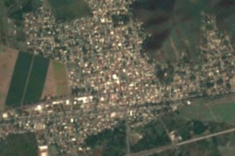
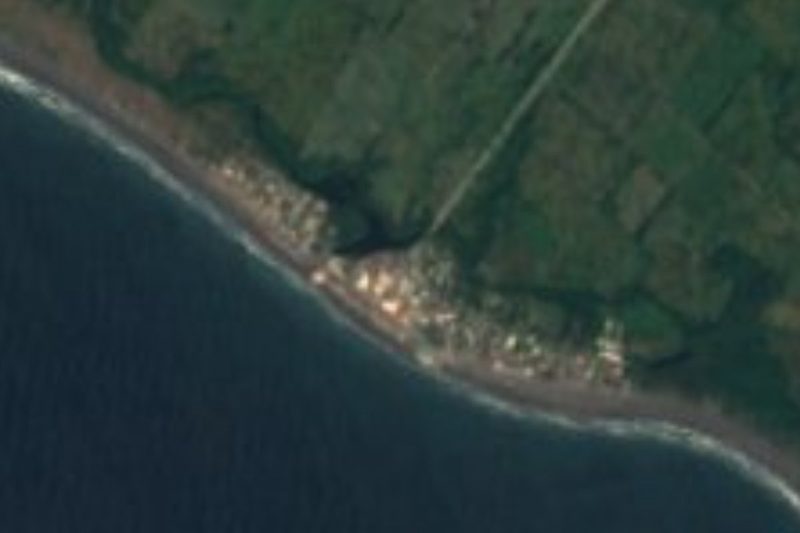


Drive times by road from OpenStreetMap, without traffic. Times marked ~ are estimated from the straight-line distance.
Location from OpenStreetMap. Written by Puebloteca.