

Beach Manzanillo, Colima Municipality of Manzanillo Colima coast
Calm beach at the far end of Santiago Bay where the Juluapan lagoon meets the sea, known for snorkelling over a sunken cargo ship.
From Manzanillo: 25 min by car (21 km by road) How to get there ↓
Near here
See everything nearby ↓


Plan your visit to La Boquita
Where to stay near La Boquita
Compare hotels, posadas and guest houses in La Boquita.
Tours to La Boquita
Day trips and guided outings from Comala often include La Boquita; with a local guide you can get there without a car.
 Tours from Manzanillo
Private Chichen Itza & Yaxunah Ruins with Cenote
★ 4.8 (111) · From US$518
How to get to La Boquita
- From Manzanillo: about 25 min by road (~21 km)
- Nearest airport: Colima (CLQ), 32 min by car to Comala
Links open a partner site. We may earn a commission if you book, at no cost to you.
Tours from Manzanillo, near La Boquita


Tours, prices and ratings from Viator, checked weekly. We may earn a commission if you book.
About La Boquita
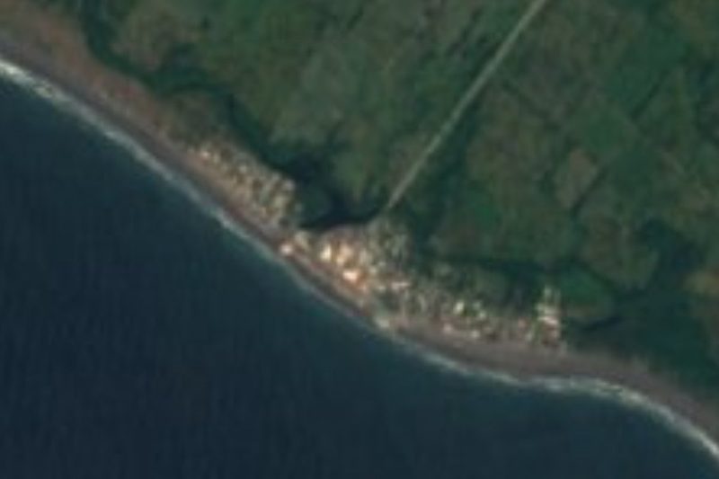
La Boquita is the beach at the far western end of Santiago Bay in Manzanillo, about 2 km beyond the main stretch of Playa Miramar, where the long sweep of sand ends below the green hill of Xoloapan. Its name means the little mouth, and it sits beside the channel that links the bay with the Laguna de Juluapan behind it; the lagoon reaches the sea through an artificial cut, and its shallow, sheltered water is popular with families with small children. The bay itself is calm here, with golden sand and a moderate slope, and by day fishermen lay out their nets to dry on the beach before heading out at night.
The beach is best known for the wreck of a cargo ship that lies just offshore in about 9 m of water, so close to the surface that it can be seen from above. Accounts disagree on its history: it is commonly identified as the San Luciano, a 1950s freighter, and is said either to have been lost in the hurricane of 27 October 1959, which came ashore just northwest of Manzanillo and killed about 1,800 people, or to have run aground on the rocks in 1965. Coral and algae now cover the hull, which shelters reef fish, turtles, octopuses and seahorses.
The Laguna de Juluapan is a mangrove wetland important for water birds: a year of monthly counts from June 2017 to May 2018 recorded 53 species and more than 5,700 individuals, mostly shorebirds and waders. Profepa, the federal environmental agency, has stepped in to halt the clearing of mangrove at La Boquita that was meant to make room for a car park. On the beach, enramadas such as La Eureka, Tanilos and Silvestre rent shade, tables and chairs and serve pescado zarandeado, seafood cocktails and Colima-style ceviche, while vendors sell mango with chile, ice cream and, in the evening, sweet bread.
How to get to La Boquita
Drive from Manzanillo: 25 min, 21 km
La Boquita is at the end of Santiago Bay, reached from Manzanillo by the coastal Boulevard Miguel de la Madrid past Santiago and on beyond Playa Miramar, which is about 16 km from the historic centre. Local buses marked Miramar run from downtown along the bay. Boat tours to the wreck leave from the beach itself.
Directions to La Boquita on Google Maps
Distances are in a straight line; the road is usually longer.
Links open a partner site. We may earn a commission if you book, at no cost to you.
From the nearest cities to La Boquita
- Manzanillo · 21 km by road, 25 min
- Tecomán · 77 km by road, 1 h
- Colima · 115 km by road, 1 h 35 min
Drive times by road from OpenStreetMap, without traffic or stops. Times marked ~ are estimated from the straight-line distance.
Before you go to La Boquita: hours, prices and tips
- Guide or tour
- The wreck can be reached by kayak or with a snorkel or dive, but most visitors take a boat tour from the beach; no advanced skills are needed. Do not swim into the enclosed parts of the hull. Tours: Viator GetYourGuide Food and Pleasure · checked Oct 2026
Hours and prices change, especially around holidays. Each fact links to where we checked it.
Visiting La Boquita: what to see and do
Snorkel or dive over the sunken cargo ship just offshore, or see it from a boat or kayak.
Swim in the calm water of the bay or the sheltered channel to the Laguna de Juluapan.
Take a boat ride or banana ride, or ride horses along the beach.
Watch herons and shorebirds around the Juluapan mangroves.
Eat pescado zarandeado at one of the enramadas on the sand.
Plan your trip
Places to stay in La Boquita
Compare hotels, posadas, and rentals in and around La Boquita.
Tours & activities
Day trips and guided outings from Comala often include La Boquita; with a local guide you can get there without a car.
Rental cars
Pick up a car at CLQ (Colima): about 32 min by road to Comala, then 71 km more to La Boquita, on your own schedule.
Flights
The nearest airport with scheduled flights is Colima (CLQ), about 32 min by road from Comala, the base for La Boquita.
Travel insurance
If you plan on swimming or surfing at La Boquita, check that your policy covers it: some plans leave adventure activities out.
Mobile data
Signal can drop away from Comala: download a map of the way to La Boquita before you set out, or carry an eSIM with data.
Links open a partner site. We may earn a commission if you book, at no cost to you.
When to go to La Boquita warm
La Boquita shares the climate of Comala, 71 km away. The best months to visit are January, February, November, and December.
La Boquita is best for swimming and time on the water in the warmest months (March, April, and May); in the rainiest ones (July, August, and September) expect storms in the afternoon.
See the month-by-month climate of Comala
Weather in La Boquita now and the next 7 days
Live forecast from Open-Meteo. Chance of rain is the day's highest.
The closest Pueblo Mágico: Comala

Comala is the Pueblo Mágico closest to La Boquita, with places to stay, food, and more to see.
Closest to La Boquita
-
Playa Miramar · Beach · 2 km away
-
Playa Olas Altas · Beach · 4 km away
-
Playa La Audiencia · Beach · 5 km away
-
Playa Salagua · Beach · 6 km away
-
Manzanillo · City · 10 km away
-
Laguna de Cuyutlán · Lagoon · 15 km away
-
El Colomo · Town · 16 km away
-
Camotlán de Miraflores · Town · 21 km away
Near La Boquita




Drive times by road from OpenStreetMap, without traffic. Times marked ~ are estimated from the straight-line distance.
Lists with La Boquita
Beaches in Colima · 6Location from OpenStreetMap. Written by Puebloteca.