Beach Manzanillo, Colima Municipality of Manzanillo Colima coast
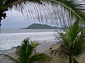
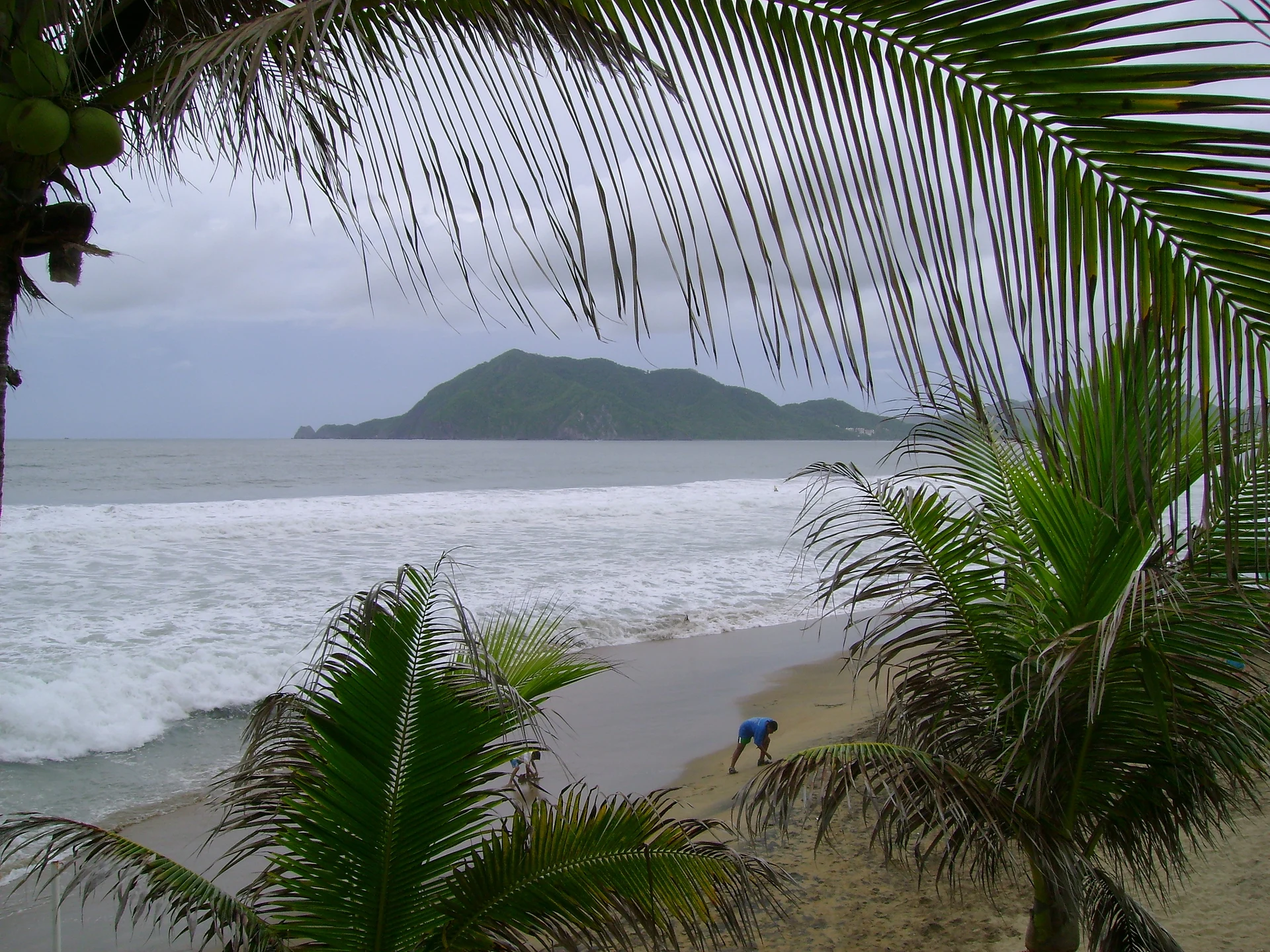
A strong-surf beach on Manzanillo's Santiago Bay: the city's favourite surf break and home of the Clásico de Manzanillo contest.
From Manzanillo: about 10 min by road (~10 km) How to get there ↓
Near here
See everything nearby ↓


Plan your visit to Playa Olas Altas
Where to stay near Playa Olas Altas
Compare hotels, posadas and guest houses in Playa Olas Altas.
Tours to Playa Olas Altas
Day trips and guided outings from Comala often include Playa Olas Altas; with a local guide you can get there without a car.
 Tours from Manzanillo
Private Chichen Itza & Yaxunah Ruins with Cenote
★ 4.8 (111) · From US$518
How to get to Playa Olas Altas
- From Manzanillo: about 10 min by road (~10 km)
- Nearest airport: Colima (CLQ), 32 min by car to Comala
Links open a partner site. We may earn a commission if you book, at no cost to you.
Tours from Manzanillo, near Playa Olas Altas


Tours, prices and ratings from Viator, checked weekly. We may earn a commission if you book.
About Playa Olas Altas
Playa Olas Altas sits at the eastern end of Santiago Bay, the western of Manzanillo's two bays, in front of the Santiago neighbourhood and next to Playa Miramar, which carries on west to La Boquita. This is open sea: waves break parallel to the sand all year, the water gets deep quickly and currents are common, so the name, 'high waves', is earned.
Along with Playa de Oro it is the most popular surf spot around Santiago. Locals make up most of the line-up, and the wave suits surfers moving beyond the beginner stage; Miramar next door is gentler for a first lesson. Surf schools on the beach run one-hour classes with board, rash vest and instructor, every day from 8 am to 6 pm.
Each summer the beach opens Colima's surf and bodyboard circuit with the Clásico de Manzanillo, run by the state tourism office and the Colima surfing association and sanctioned by the Mexican Surfing Federation. In 2026 it was held on 17 to 19 July, with a prize pool of more than 500,000 pesos split equally between women and men; the circuit then moved to Playa El Paraíso in Armería and Boca de Pascuales in Tecomán.
Hotels, bungalows and condos stand behind the sand, and plenty of visitors come just to sunbathe or play beach volleyball and football. If you are not a surfer, go in carefully.
How to get to Playa Olas Altas
Olas Altas is in the Santiago neighbourhood, 20 minutes from downtown Manzanillo, 16 km by road. From downtown follow the coastal Boulevard Miguel de la Madrid west towards Santiago Bay, and in Santiago take the neighbourhood streets down to the beach. City buses marked Miramar run from downtown along Santiago Bay and pass through the area. From Comala, the nearest Pueblo Mágico, it is 1 h 35 min (114 km), by way of Colima city.
Directions to Playa Olas Altas on Google Maps
Distances are in a straight line; the road is usually longer.
Links open a partner site. We may earn a commission if you book, at no cost to you.
From the nearest cities to Playa Olas Altas
- Manzanillo · about 10 km by road, ~10 min
- Tecomán · about 75 km by road, ~1 h 5 min
- Colima · about 90 km by road, ~1 h 20 min
Drive times by road from OpenStreetMap, without traffic or stops. Times marked ~ are estimated from the straight-line distance.
Before you go to Playa Olas Altas: hours, prices and tips
- Best season
- Clásico de Manzanillo surf and bodyboard contest: 17 to 19 July 2026. Milenio · checked Oct 2026
- Guide or tour
- Surf schools on the beach give one-hour lessons (board, rash vest, wax and instructor) daily from 8 am to 6 pm, from about 500 pesos per person. Tours: Viator GetYourGuide Yumping (Colima Surfing Academy) · checked Oct 2026
- Rules
- The surf is strong, the water deepens quickly and currents are common; non-surfers should go in with care. Mexico Travel & Leisure · checked Oct 2026
Hours and prices change, especially around holidays. Each fact links to where we checked it.
Visiting Playa Olas Altas: what to see and do
The beach break, with waves all year
One-hour surf lessons with board and instructor
The Clásico de Manzanillo, first stop of the state surf and bodyboard circuit (July)
Views across Santiago Bay and its headlands from the sand
Beach volleyball and football
A walk along the shore to Playa Miramar
Plan your trip
Places to stay in Playa Olas Altas
Compare hotels, posadas, and rentals in and around Playa Olas Altas.
Tours & activities
Day trips and guided outings from Comala often include Playa Olas Altas; with a local guide you can get there without a car.
Rental cars
Pick up a car at CLQ (Colima): about 32 min by road to Comala, then 67 km more to Playa Olas Altas, on your own schedule.
Flights
The nearest airport with scheduled flights is Colima (CLQ), about 32 min by road from Comala, the base for Playa Olas Altas.
Travel insurance
If you plan on swimming or surfing at Playa Olas Altas, check that your policy covers it: some plans leave adventure activities out.
Mobile data
Signal can drop away from Comala: download a map of the way to Playa Olas Altas before you set out, or carry an eSIM with data.
Links open a partner site. We may earn a commission if you book, at no cost to you.
When to go to Playa Olas Altas warm
Playa Olas Altas shares the climate of Comala, 67 km away. The best months to visit are January, February, November, and December.
Playa Olas Altas is best for swimming and time on the water in the warmest months (March, April, and May); in the rainiest ones (July, August, and September) expect storms in the afternoon.
See the month-by-month climate of Comala
Weather in Playa Olas Altas now and the next 7 days
Live forecast from Open-Meteo. Chance of rain is the day's highest.
The closest Pueblo Mágico: Comala

Comala is the Pueblo Mágico closest to Playa Olas Altas, with places to stay, food, and more to see.
Closest to Playa Olas Altas
-
Playa La Audiencia · Beach · 2 km away
-
Playa Miramar · Beach · 3 km away
-
Playa Salagua · Beach · 3 km away
-
La Boquita · Beach · 4 km away
-
Manzanillo · City · 9 km away
-
El Colomo · Town · 12 km away
-
Laguna de Cuyutlán · Lagoon · 13 km away
-
Camotlán de Miraflores · Town · 17 km away

Near Playa Olas Altas


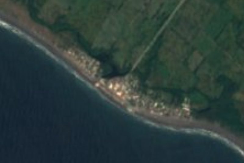

Drive times by road from OpenStreetMap, without traffic. Times marked ~ are estimated from the straight-line distance.
Lists with Playa Olas Altas
Beaches in Colima · 6Location from OpenStreetMap. Written by Puebloteca.