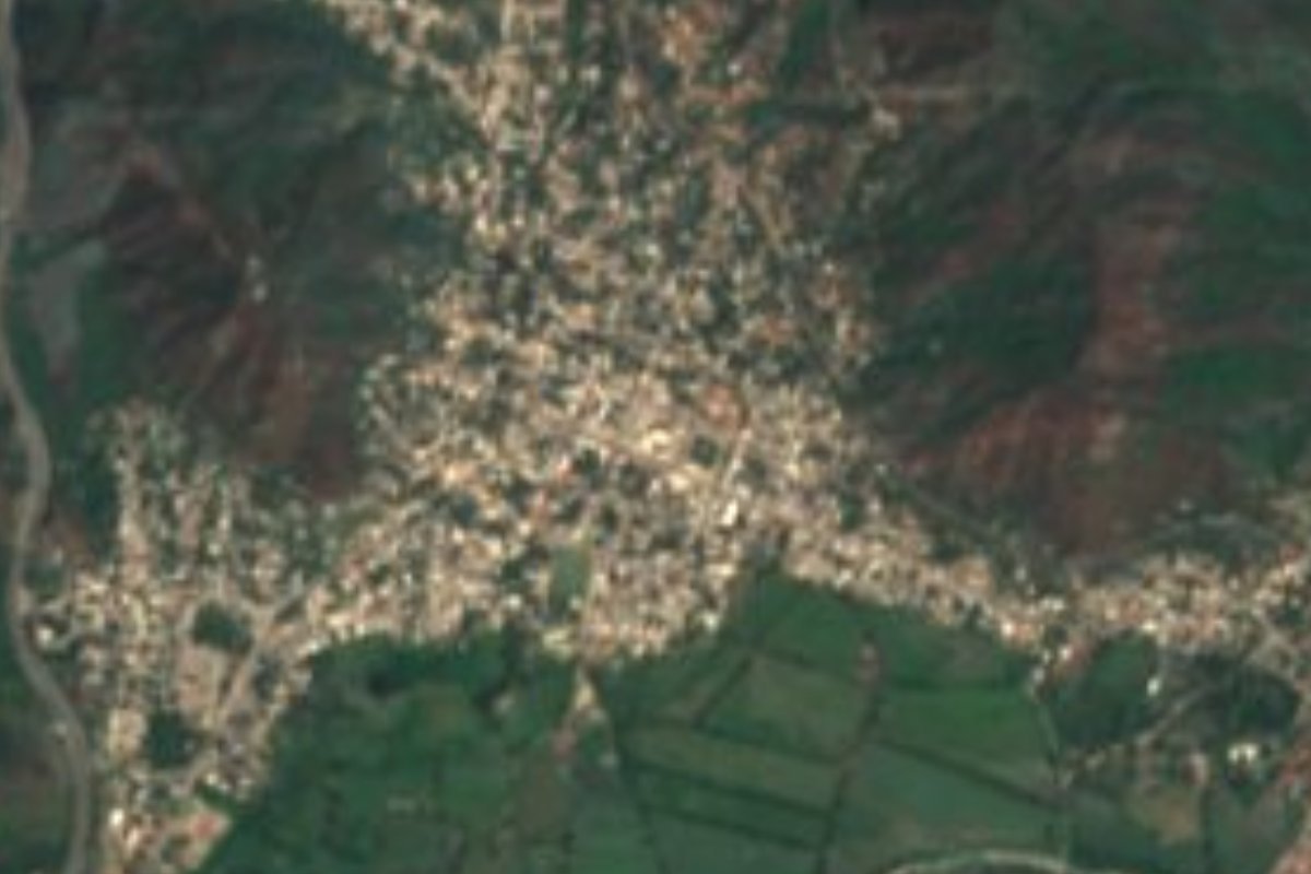
Town Manzanillo, Colima Municipality of Manzanillo Colima coast
A large Manzanillo town on the north shore of the Laguna de Cuyutlán, 10 minutes from the port, with ejido fiestas and pre-Hispanic sites nearby.
From Manzanillo: about 5 min by road (~10 km) How to get there ↓
Near here
See everything nearby ↓


Plan your visit to El Colomo
Where to stay near El Colomo
Compare hotels, posadas and guest houses in El Colomo.
Tours to El Colomo
Day trips around Comala sometimes stop in El Colomo; a tour is the easy way to see it without a car.
 Tours from Manzanillo
Private Chichen Itza & Yaxunah Ruins with Cenote
★ 4.8 (111) · From US$518
How to get to El Colomo
- From Manzanillo: about 5 min by road (~10 km)
- Nearest airport: Colima (CLQ), 32 min by car to Comala
Links open a partner site. We may earn a commission if you book, at no cost to you.
Tours from Manzanillo, near El Colomo


Tours, prices and ratings from Viator, checked weekly. We may earn a commission if you book.
About El Colomo
El Colomo is a town in the southeast of Manzanillo municipality, about 18 metres above sea level and covering 3.25 km². It is the ninth-largest locality in Colima: the 2020 census counted 9,664 people (4,913 women and 4,751 men), slightly fewer than the 10,255 of 2010, in 3,742 homes, 2,768 of them occupied. The climate is warm and semi-humid, with summer rain.
The town sits on the inland shore of the Laguna de Cuyutlán, the first of a string of communities running southeast along it: San Buenaventura, Venustiano Carranza (La Cualata), Nuevo Cuyutlán, Santa Rita and Armería. The lagoon is about 35 km long and up to 3 km wide, and between 1980 and 1982 nearly half of its 7,200 hectares had silted up. That led to the Tepalcates canal, which brings seawater into Vaso II, now an industrial port zone.
Port works have also uncovered the pre-Hispanic past of the surrounding hills. In 2009, when an 8.5 km power line for the liquefied natural gas terminal was laid out from the Tapeixtles–Colomo junction, INAH archaeologists recorded four sites along the route, among them Cerro Tepalcatepec, registered since 1987, with house and farming terraces on its lower slopes. The town's fiestas mark the anniversary of the founding of its ejido, with singing contests held in honour of the agrarian leader Homobono Llamas García.
How to get to El Colomo
El Colomo lies east of the city of Manzanillo, between the port and the Laguna de Cuyutlán: 10 minutes from central Manzanillo, 7 km by road. The route is the Libramiento de Manzanillo, on its Colomos–Tapeixtles stretch, one of the roads linking the port with the rest of the state, and paved Avenida Adolfo López Mateos runs into town. The nearest Pueblo Mágico is Comala, 1 h 25 min away (101 km by road). Long-distance buses arrive at Manzanillo's Central de Autobuses on Calle Obras Marítimas, and Playa de Oro airport, about 32 km west of the city, has no public transport. Canada advises against non-essential travel to Colima state, except the city of Manzanillo when reached by air.
Directions to El Colomo on Google Maps
Distances are in a straight line; the road is usually longer.
Links open a partner site. We may earn a commission if you book, at no cost to you.
From the nearest cities to El Colomo
- Manzanillo · about 10 km by road, ~5 min
- Tecomán · about 55 km by road, ~50 min
- Colima · about 75 km by road, ~1 h 10 min
Drive times by road from OpenStreetMap, without traffic or stops. Times marked ~ are estimated from the straight-line distance.
Visiting El Colomo: what to see and do
Look out over the north shore of the Laguna de Cuyutlán, right beside the town.
Walk Avenida Adolfo López Mateos, the main street through El Colomo.
Catch the ejido anniversary fiestas and their singing contests.
Follow the lagoon shore southeast through San Buenaventura and La Cualata.
Plan your trip
Places to stay in El Colomo
Compare hotels, posadas, and rentals in and around El Colomo.
Tours & activities
Day trips around Comala sometimes stop in El Colomo; a tour is the easy way to see it without a car.
Rental cars
Pick up a car at CLQ (Colima): about 32 min by road to Comala, then 60 km more to El Colomo, on your own schedule.
Flights
The nearest airport with scheduled flights is Colima (CLQ), about 32 min by road from Comala, the base for El Colomo.
Mobile data
Signal can drop away from Comala: download a map of the way to El Colomo before you set out, or carry an eSIM with data.
Links open a partner site. We may earn a commission if you book, at no cost to you.
When to go to El Colomo warm
El Colomo shares the climate of Comala, 60 km away. The best months to visit are January, February, November, and December.
See the month-by-month climate of Comala
Weather in El Colomo now and the next 7 days
Live forecast from Open-Meteo. Chance of rain is the day's highest.
The closest Pueblo Mágico: Comala

Comala is the Pueblo Mágico closest to El Colomo, with places to stay, food, and more to see.
Closest to El Colomo
-
Laguna de Cuyutlán · Lagoon · 5 km away
-
Manzanillo · City · 6 km away
-
Playa Salagua · Beach · 10 km away
-
Playa La Audiencia · Beach · 11 km away
-
Playa Olas Altas · Beach · 12 km away
-
Playa Miramar · Beach · 15 km away
-
La Boquita · Beach · 16 km away
-
Camotlán de Miraflores · Town · 18 km away

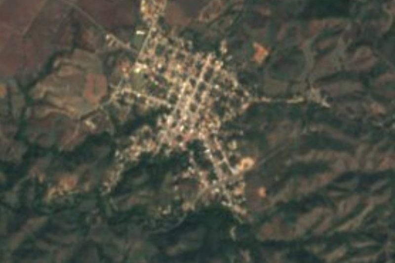
Near El Colomo


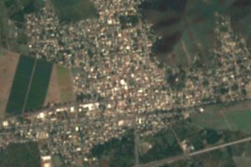
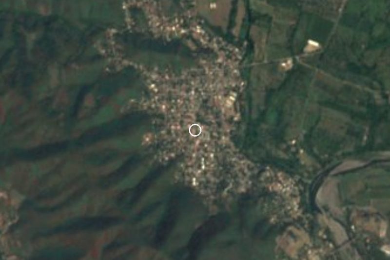
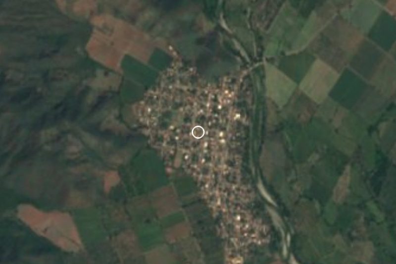
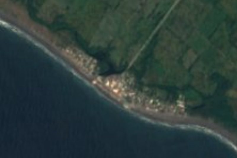


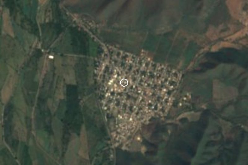
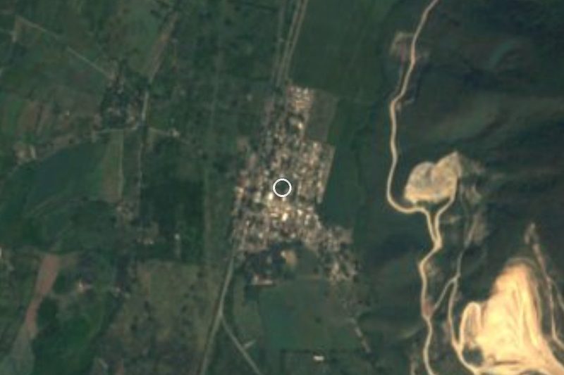


Drive times by road from OpenStreetMap, without traffic. Times marked ~ are estimated from the straight-line distance.
Location from OpenStreetMap. Written by Puebloteca.