Town Minatitlán, Colima Colima coast
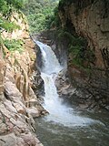
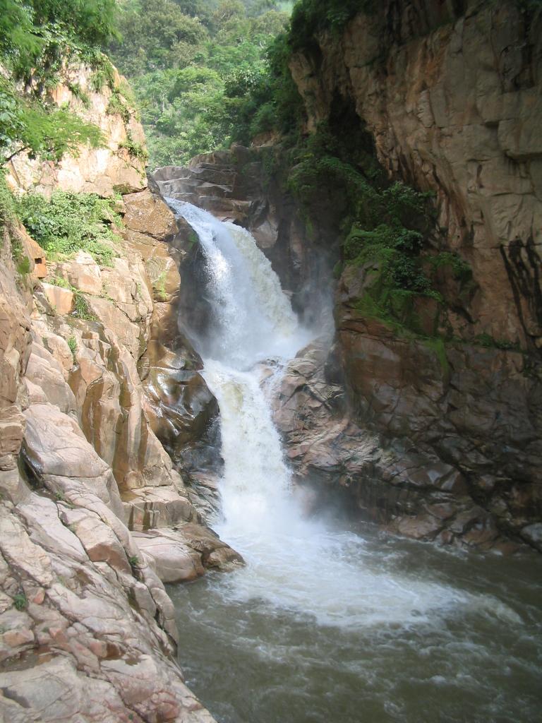
A mining and coffee town in Colima's western hills at 740 m, near El Salto, the state's biggest waterfall. One hour from Colima city.
From Colima: about 45 min by road (~50 km) How to get there ↓
Near here
See everything nearby ↓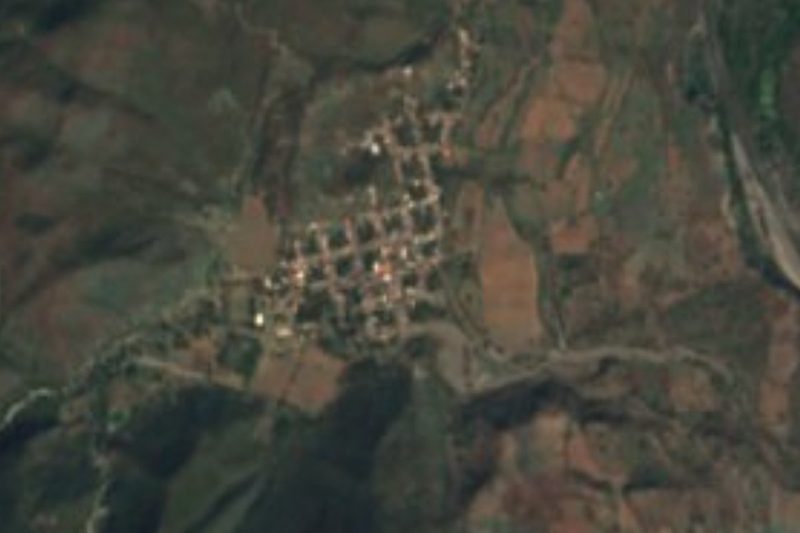


Plan your visit to Minatitlán
Where to stay near Minatitlán
Compare hotels, posadas and guest houses in Minatitlán.
Tours to Minatitlán
Day trips around Comala sometimes stop in Minatitlán; a tour is the easy way to see it without a car.
 Tours from Manzanillo
Private Chichen Itza & Yaxunah Ruins with Cenote
★ 4.8 (111) · From US$518
How to get to Minatitlán
- From Colima: about 45 min by road (~50 km)
- Nearest airport: Colima (CLQ), 32 min by car to Comala
Links open a partner site. We may earn a commission if you book, at no cost to you.
Tours from Manzanillo, near Minatitlán


Tours, prices and ratings from Viator, checked weekly. We may earn a commission if you book.
About Minatitlán
Minatitlán is the seat of the municipality of the same name in northwestern Colima, on the border with Jalisco. It sits at about 740 metres among hills, valleys and ravines, and had 6,075 people in 2020. The name joins the Spanish word "mina" with the Nahuatl suffix -tlan, "place": a place of mines, for the iron in the surrounding hills.
It began as the El Mamey ranch and later hacienda. In 1833 the Figueroa family arrived from Zacatecas, leased the ranch and drew in other settlers until a small village took shape. Under the Reform Laws the land passed to the state, and in 1891 the priest Víctor Álvarez bought half of the hacienda with help from local residents. The village became a municipality in 1917, its first council took office in January 1918, and in 1920 El Mamey was renamed Minatitlán. During the Cristero War, in 1927, the municipality split into two armed camps.
The local economy runs from the fields to the mine. The slopes grow coffee, maize and mango, along with rice, jalapeño chiles, tomatoes, oranges, sugar cane and mamey. On the Astilla hill lies Peña Colorada, a large iron mine; a company village, Peña Colorada, known locally as El Poblado, was built for its workers in the 1970s. The climate is warm and sub-humid, averaging 23 °C with summer rain; oak and pine cover the higher ground such as Cerro Grande, and the wildlife of the hills includes jaguar, puma and deer.
How to get to Minatitlán
Minatitlán is 1 hour from Colima city, 58 km by road: leave through Villa de Álvarez and follow the state highway to Minatitlán, paved but very winding through the hills. Comala, the nearest Pueblo Mágico, is also 1 hour away (60 km). Another road runs down toward Manzanillo past Peña Colorada and Camotlán de Miraflores; the turn-off for El Salto is on that road, about 8 km past town and 1 km before Peña Colorada, on the left. By bus, there are daytime departures from Colima, and buses to Minatitlán leave from Manzanillo's central bus station; you can ask the driver to drop you at the El Salto entrance. The UK advises against all but essential travel to Colima state outside the city of Manzanillo, so check current advisories before you go.
Directions to Minatitlán on Google Maps
Distances are in a straight line; the road is usually longer.
Links open a partner site. We may earn a commission if you book, at no cost to you.
From the nearest cities to Minatitlán
- Colima · about 50 km by road, ~45 min
- Manzanillo · about 60 km by road, ~55 min
- Autlán · about 70 km by road, ~1 h
Drive times by road from OpenStreetMap, without traffic or stops. Times marked ~ are estimated from the straight-line distance.
Before you go to Minatitlán: hours, prices and tips
- Hours
- El Salto bathing park: open daily, 9 am to 6 pm; it has closed temporarily after heavy storms. México Desconocido · checked Oct 2026
- Entry
- El Salto entry: 20 pesos per person, cash only; Minatitlán residents enter free. México Desconocido · checked Oct 2026
- Best season
- Feast of the Immaculate Conception from 31 December to 8 January, followed by charro and bullfighting festivities until 17 January. EcuRed · checked Oct 2026
- Rules
- There is no lifeguard at El Salto and the pool is deep; stay out of the river after heavy rain, when the current rises fast. México Desconocido · checked Oct 2026
Hours and prices change, especially around holidays. Each fact links to where we checked it.
Visiting Minatitlán: what to see and do
Swim at El Salto, 8 km from town: a drop of about 20 metres at the bottom of a ravine, with a deep pool that stays cool all year.
Spend a day at the El Salto bathing park, with pools, a slide, covered grills and a camping area.
Head up to El Terrero, a cool wooded area with good camping spots.
See El Poblado de Peña Colorada, the village built in the 1970s for the iron mine's workers.
Walk among the coffee plots and mango orchards on the slopes around town.
Plan your trip
Places to stay in Minatitlán
Compare hotels, posadas, and rentals in and around Minatitlán.
Tours & activities
Day trips around Comala sometimes stop in Minatitlán; a tour is the easy way to see it without a car.
Rental cars
Pick up a car at CLQ (Colima): about 32 min by road to Comala, then 31 km more to Minatitlán, on your own schedule.
Flights
The nearest airport with scheduled flights is Colima (CLQ), about 32 min by road from Comala, the base for Minatitlán.
Mobile data
Signal can drop away from Comala: download a map of the way to Minatitlán before you set out, or carry an eSIM with data.
Links open a partner site. We may earn a commission if you book, at no cost to you.
When to go to Minatitlán warm
Minatitlán shares the climate of Comala, 31 km away. The best months to visit are January, February, November, and December.
See the month-by-month climate of Comala
Weather in Minatitlán now and the next 7 days
Live forecast from Open-Meteo. Chance of rain is the day's highest.
The closest Pueblo Mágico: Comala

Comala is the Pueblo Mágico closest to Minatitlán, with places to stay, food, and more to see.
Also close to
Closest to Minatitlán
-
Zacualpan · Town · 24 km away
-
Tolimán · Town · 28 km away
-
Zapotitlán de Vadillo · Village · 31 km away
-
Cuautitlán de García Barragán · Town · 33 km away
-
Nogueras · Town · 33 km away
-
Tuxcacuesco · Village · 35 km away
-
Villa de Álvarez · City · 35 km away
-
Suchitlán · Town · 36 km away


Near Minatitlán


Drive times by road from OpenStreetMap, without traffic. Times marked ~ are estimated from the straight-line distance.
Location from OpenStreetMap. Written by Puebloteca.