Beach Manzanillo, Colima Municipality of Manzanillo Colima coast
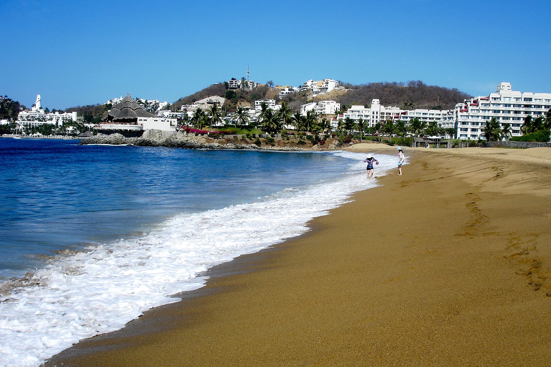
Dark-sand beach in the middle of Manzanillo Bay, by the town of Salagua, the 16th-century anchorage that once gave the port its name.
From Manzanillo: about 5 min by road (~10 km) How to get there ↓
Near here
See everything nearby ↓


Plan your visit to Playa Salagua
Where to stay near Playa Salagua
Compare hotels, posadas and guest houses in Playa Salagua.
Tours to Playa Salagua
Day trips and guided outings from Comala often include Playa Salagua; with a local guide you can get there without a car.
 Tours from Manzanillo
Private Chichen Itza & Yaxunah Ruins with Cenote
★ 4.8 (111) · From US$518
How to get to Playa Salagua
- From Manzanillo: about 5 min by road (~10 km)
- Nearest airport: Colima (CLQ), 32 min by car to Comala
Links open a partner site. We may earn a commission if you book, at no cost to you.
Tours from Manzanillo, near Playa Salagua


Tours, prices and ratings from Viator, checked weekly. We may earn a commission if you book.
About Playa Salagua
Playa Salagua lies in the middle of Manzanillo Bay, at the foot of the Santiago Peninsula, between the Las Hadas golf course and the sea. Behind it is Salagua, or Tzalahua, a town of the municipality now absorbed into the port's urban area, between Santiago and the Valle de las Garzas. Like the rest of the bay, which curves for about 6.5 km, the beach has dark sand of volcanic origin.
Before it was called Manzanillo, this harbour was called Salagua. Around 1527 the brigantine Espíritu Santo, part of Álvaro de Saavedra Cerón's expedition, anchored by a freshwater stream that its sailors named the Salagua river, and from 1560 the name was used throughout New Spain for Colima's port. Álvaro de Mendaña anchored here on 22 January 1569, Francis Drake called in May 1579, Thomas Cavendish hid here in August 1587, Sebastián Vizcaíno picked up soldiers in 1596, and the Dutchman Joris van Spilbergen landed on 11 November 1615 for water, firewood and food. Tradition holds that Salagua supplied pearls to the Mexica in the 15th century.
From about 1700 the name Manzanillo gradually replaced Salagua, and the anchorage was all but abandoned. Today the town honours the Virgen del Rosario in October, alongside its ejido festivities, and a statue of the Manzanillo-born Diego Soto D'Urzo stands in its centre.
How to get to Playa Salagua
From central Manzanillo, head west on the coastal Boulevard Miguel de la Madrid, which follows the bay through Las Brisas and El Tajo to Salagua and Santiago: 15 minutes and 13 km by road to the beach. The nearest Pueblo Mágico is Comala, 1 h 35 min away (112 km by road). Long-distance buses arrive at Manzanillo's Central de Autobuses on Calle Obras Marítimas, served by lines including Primera Plus, ETN, Estrella Blanca and Autovías. Playa de Oro airport, about 32 km west of the city, has no public transport, so take a taxi or a rental car. Canada advises against non-essential travel to Colima state, except the city of Manzanillo when reached by air.
Directions to Playa Salagua on Google Maps
Distances are in a straight line; the road is usually longer.
Links open a partner site. We may earn a commission if you book, at no cost to you.
From the nearest cities to Playa Salagua
- Manzanillo · about 10 km by road, ~5 min
- Tecomán · about 70 km by road, ~1 h
- Colima · about 85 km by road, ~1 h 15 min
Drive times by road from OpenStreetMap, without traffic or stops. Times marked ~ are estimated from the straight-line distance.
Visiting Playa Salagua: what to see and do
Walk the dark sand of the beach in the middle of Manzanillo Bay.
Take in the Santiago Peninsula and Las Hadas from the shore.
Stroll Salagua's centre, with its church and the statue of Diego Soto D'Urzo.
Catch the Virgen del Rosario fiesta in October.
Carry on around the bay to Playa La Audiencia on the peninsula.
Plan your trip
Places to stay in Playa Salagua
Compare hotels, posadas, and rentals in and around Playa Salagua.
Tours & activities
Day trips and guided outings from Comala often include Playa Salagua; with a local guide you can get there without a car.
Rental cars
Pick up a car at CLQ (Colima): about 32 min by road to Comala, then 65 km more to Playa Salagua, on your own schedule.
Flights
The nearest airport with scheduled flights is Colima (CLQ), about 32 min by road from Comala, the base for Playa Salagua.
Travel insurance
If you plan on swimming or surfing at Playa Salagua, check that your policy covers it: some plans leave adventure activities out.
Mobile data
Signal can drop away from Comala: download a map of the way to Playa Salagua before you set out, or carry an eSIM with data.
Links open a partner site. We may earn a commission if you book, at no cost to you.
When to go to Playa Salagua warm
Playa Salagua shares the climate of Comala, 65 km away. The best months to visit are January, February, November, and December.
Playa Salagua is best for swimming and time on the water in the warmest months (March, April, and May); in the rainiest ones (July, August, and September) expect storms in the afternoon.
See the month-by-month climate of Comala
Weather in Playa Salagua now and the next 7 days
Live forecast from Open-Meteo. Chance of rain is the day's highest.
The closest Pueblo Mágico: Comala

Comala is the Pueblo Mágico closest to Playa Salagua, with places to stay, food, and more to see.
Closest to Playa Salagua
-
Playa La Audiencia · Beach · 1 km away
-
Playa Miramar · Beach · 5 km away
-
La Boquita · Beach · 6 km away
-
Manzanillo · City · 6 km away
-
Laguna de Cuyutlán · Lagoon · 11 km away
-
Cihuatlán · Town · 28 km away
-
Cuyutlán · Village · 35 km away
-
Museo Comunitario de la Sal · Landmark · 35 km away


Near Playa Salagua


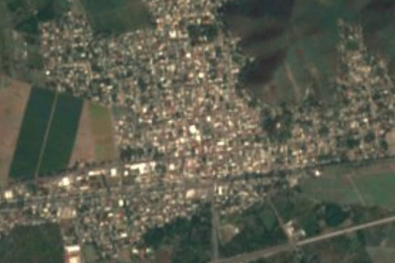

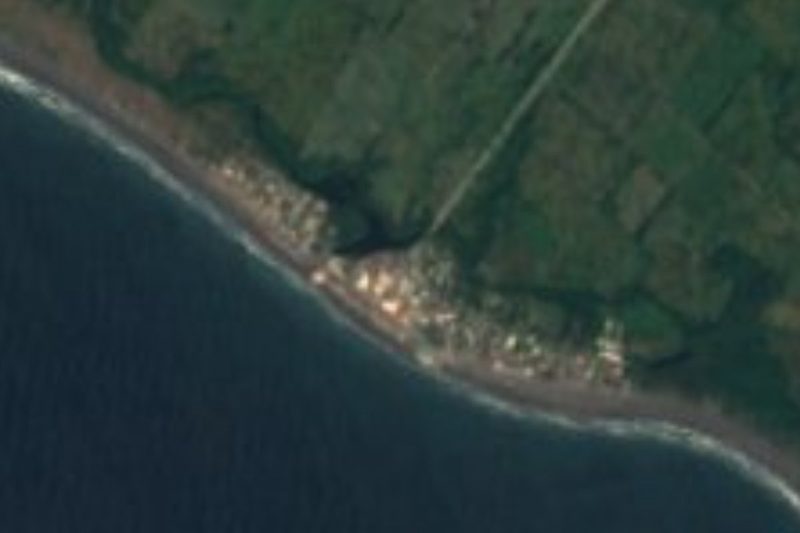


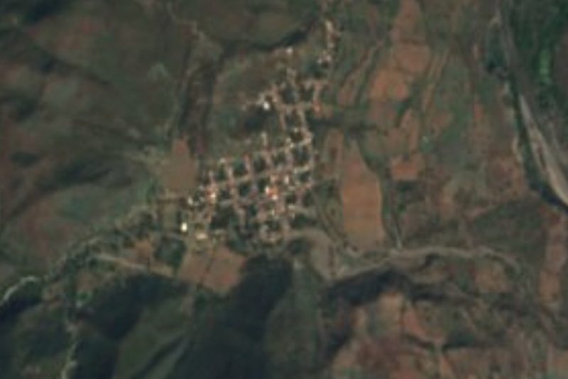
Drive times by road from OpenStreetMap, without traffic. Times marked ~ are estimated from the straight-line distance.
Lists with Playa Salagua
Beaches in Colima · 5Location from OpenStreetMap. Written by Puebloteca.