Village Armería, Colima Municipality of Armería Colima coast
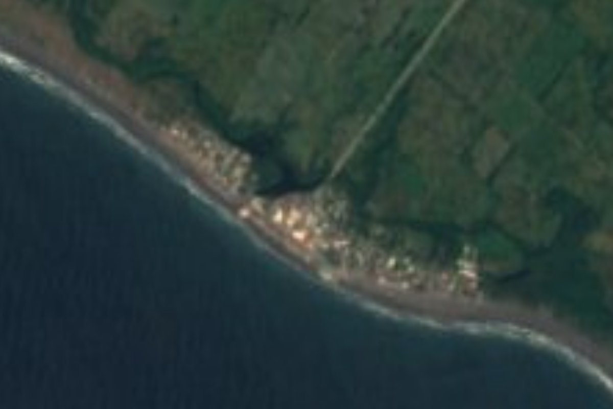
Small beach village about 7 km from Armería, lined with more than 30 seafood enramadas on dark volcanic sand facing a strong open-sea surf.
From Tecomán: 15 min by car (19 km by road) How to get there ↓
Near here
See everything nearby ↓


Plan your visit to El Paraíso
Where to stay near El Paraíso
Compare hotels, posadas and guest houses in El Paraíso.
Tours to El Paraíso
Day trips and guided outings from Comala often include El Paraíso; with a local guide you can get there without a car.
 Tours from Manzanillo
Private Chichen Itza & Yaxunah Ruins with Cenote
★ 4.8 (111) · From US$518
How to get to El Paraíso
- From Tecomán: about 15 min by road (~19 km)
- Nearest airport: Colima (CLQ), 32 min by car to Comala
Links open a partner site. We may earn a commission if you book, at no cost to you.
Tours from Manzanillo, near El Paraíso


Tours, prices and ratings from Viator, checked weekly. We may earn a commission if you book.
About El Paraíso
El Paraíso is a small beach village on the Pacific coast of the municipality of Armería, about 7 km south of the city of Armería and about 15 km from Tecomán. INEGI lists it as El Paraíso, a balneario or beach resort, and at the 2020 census it had 171 inhabitants in 59 occupied homes. It lies about 3.5 km west of Boca de Pascuales and the mouth of the Armería River, whose sediment, carried down from the Volcán de Colima, gives the beach its dark, medium-grained volcanic sand. Together with Cuyutlán, about 10 km to the northwest, it is one of the two beach resorts of Armería, and it is among the busiest spots on the state's coast during Semana Santa.
Armería itself grew up around a hacienda, on the railway line down to Manzanillo. It was a town within the municipality of Manzanillo until it became Colima's youngest municipality, by decree on 3 June 1967, and its seat received city status in 1988. The plain behind the coast is farmland: lime, coconut, mango, papaya, corn and sorghum, with a lime packing plant and coconut processing, while salt is still harvested at the nearby Laguna de Cuyutlán.
The village is essentially one long row of enramadas, open-sided restaurants under palm-leaf roofs set on the sand; more than 30 of them serve fresh fish and seafood, including pescado zarandeado, ceviche, garlic shrimp and octopus a la diabla. They typically open from about 9 am to 7 pm, and a meal costs roughly 150 to 400 pesos per person. The sea is open, deep and rough: locals advise against swimming, but the waves draw surfers and windsurfers, and the stretch of coast between El Real and El Paraíso has some of the biggest surf in Colima. Boat trips go into the nearby mangrove estuary and the Laguna de Alcuzahue to see resident and migratory birds, and a rustic eco-hotel, Las Delicias del Paraíso, offers rooms, pools and camping facing the sea.
How to get to El Paraíso
Drive from Tecomán: 15 min, 19 km
El Paraíso is about 7 km south of the city of Armería by a local road through farmland to the coast, and about 15 km from Tecomán. Armería lies on the coastal highway between Manzanillo and Tecomán, and buses between Manzanillo and Tecomán sometimes stop there; from Armería the easiest way to the beach is by car or taxi.
Directions to El Paraíso on Google Maps
Distances are in a straight line; the road is usually longer.
Links open a partner site. We may earn a commission if you book, at no cost to you.
From the nearest cities to El Paraíso
- Tecomán · 19 km by road, 15 min
- Manzanillo · 46 km by road, 40 min
- Colima · 57 km by road, 55 min
Drive times by road from OpenStreetMap, without traffic or stops. Times marked ~ are estimated from the straight-line distance.
Before you go to El Paraíso: hours, prices and tips
- Hours
- The beach is free and open all day; the enramadas usually serve from about 9 am to 7 pm, with meals around 150–400 pesos per person. Programa Destinos México · checked Oct 2026
- Best season
- Semana Santa is the busiest time of year. The Colima surf and bodyboard circuit holds its Playa El Paraíso stop on 23–25 October 2026. Milenio · checked Oct 2026
- Rules
- The sea is open, deep and rough; locals advise against swimming. Meteored México · checked Oct 2026
Hours and prices change, especially around holidays. Each fact links to where we checked it.
Visiting El Paraíso: what to see and do
Eat pescado zarandeado or ceviche at one of the more than 30 enramadas on the sand.
Watch surfers and windsurfers in the heavy open-sea waves.
Take a boat trip through the mangrove estuary and the Laguna de Alcuzahue to see water birds.
Come for the Playa El Paraíso stop of the Colima surf and bodyboard circuit (23–25 October 2026).
Combine it with Boca de Pascuales, about 3.5 km east, and Cuyutlán, about 10 km northwest.
Plan your trip
Places to stay in El Paraíso
Compare hotels, posadas, and rentals in and around El Paraíso.
Tours & activities
Day trips and guided outings from Comala often include El Paraíso; with a local guide you can get there without a car.
Rental cars
Pick up a car at CLQ (Colima): about 32 min by road to Comala, then 55 km more to El Paraíso, on your own schedule.
Flights
The nearest airport with scheduled flights is Colima (CLQ), about 32 min by road from Comala, the base for El Paraíso.
Mobile data
Signal can drop away from Comala: download a map of the way to El Paraíso before you set out, or carry an eSIM with data.
Links open a partner site. We may earn a commission if you book, at no cost to you.
When to go to El Paraíso warm
El Paraíso shares the climate of Comala, 55 km away. The best months to visit are January, February, November, and December.
See the month-by-month climate of Comala
Weather in El Paraíso now and the next 7 days
Live forecast from Open-Meteo. Chance of rain is the day's highest.
The closest Pueblo Mágico: Comala

Comala is the Pueblo Mágico closest to El Paraíso, with places to stay, food, and more to see.
Closest to El Paraíso
-
Boca de Pascuales · Beach · 4 km away
-
Armería · Town · 7 km away
-
Cofradía de Juárez · Village · 10 km away
-
Cuyutlán · Village · 10 km away
-
Museo Comunitario de la Sal · Landmark · 10 km away
-
Tecomán · City · 13 km away
-
Caleras · Village · 18 km away
-
Rincón de López · Village · 21 km away
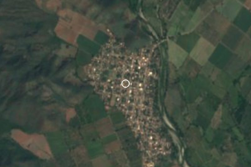
Near El Paraíso




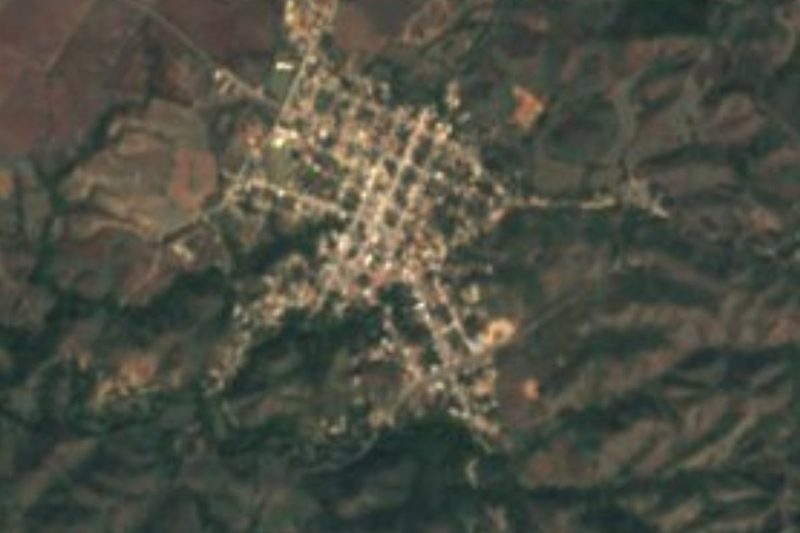
Drive times by road from OpenStreetMap, without traffic. Times marked ~ are estimated from the straight-line distance.
Location from OpenStreetMap. Written by Puebloteca.