Town Tecomán, Colima Municipality of Tecomán Colima coast
Tecomán's second-largest town, out on the hot coastal plain by the Michoacán line and the Coahuayana river.
From Tecomán: about 30 min by road (~30 km) How to get there ↓
Near here
See everything nearby ↓


Plan your visit to Cerro de Ortega
Where to stay near Cerro de Ortega
Compare hotels, posadas and guest houses in Cerro de Ortega.
Tours to Cerro de Ortega
Day trips around Comala sometimes stop in Cerro de Ortega; a tour is the easy way to see it without a car.
 Tours from Manzanillo
Private Chichen Itza & Yaxunah Ruins with Cenote
★ 4.8 (111) · From US$518
How to get to Cerro de Ortega
- From Tecomán: about 30 min by road (~30 km)
- Nearest airport: Colima (CLQ), 32 min by car to Comala
Links open a partner site. We may earn a commission if you book, at no cost to you.
Tours from Manzanillo, near Cerro de Ortega


Tours, prices and ratings from Viator, checked weekly. We may earn a commission if you book.
About Cerro de Ortega
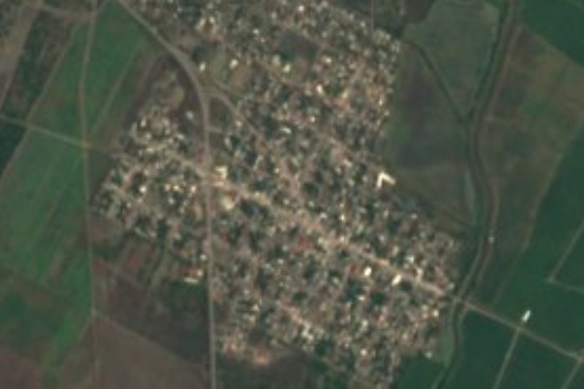
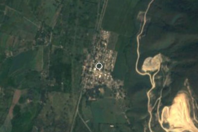
Cerro de Ortega sits at the far southeastern end of Tecomán municipality, right up against the Michoacán border: Coahuayana Viejo, on the other side, is about 5 km south. With 9,309 people at the 2020 census it is the municipality's second town after Tecomán itself, and it has grown quickly, from 5,214 in 2005 and 7,598 in 2010. Nearly half its residents were born outside Colima, the mark of a farm-labour town that draws families from other states.
The town stands about 17 metres above sea level on the flat plain laid down by floods of the Armería and Coahuayana rivers. It is hot and subhumid, averaging 26 °C over the year; the rain comes in summer, with September the wettest month at around 227 mm, while April is almost completely dry. The hills that give the area its name are low rises: Cerro El Muerto, to the north, is barely 48 metres high.
This is not a tourist town but a service centre for the surrounding orchards and hamlets, with a plaza and plenty of seafood stalls, ceviche, taco stands and loncherías. In heavy rain the state has opened temporary shelters here, and the road to Tecomán has a record of serious crashes. Visitors should also know the area saw violent incidents in 2026.
How to get to Cerro de Ortega
From Tecomán, take federal highway 200, the road to Lázaro Cárdenas, southeast across the coastal plain: it is 20 minutes and 25 km by road to Cerro de Ortega. From Comala, the nearest Pueblo Mágico, the drive is 1 h 15 min and 83 km, down through Colima city and the motorway to Tecomán. The road is flat and straight but busy with trucks and has a record of fatal crashes, so drive in daylight and take it slowly. The US State Department rates Colima state Level 4, Do Not Travel, except the tourist area of Manzanillo, and the UK advises against all but essential travel to the state.
Directions to Cerro de Ortega on Google Maps
Distances are in a straight line; the road is usually longer.
Links open a partner site. We may earn a commission if you book, at no cost to you.
From the nearest cities to Cerro de Ortega
- Tecomán · about 30 km by road, ~30 min
- Colima · about 70 km by road, ~1 h 5 min
- Manzanillo · about 90 km by road, ~1 h 20 min
Drive times by road from OpenStreetMap, without traffic or stops. Times marked ~ are estimated from the straight-line distance.
Visiting Cerro de Ortega: what to see and do
The main plaza, remodelled in the late 2000s
The town's seafood and ceviche stalls
The orchards and farm plain between Tecomán and the Coahuayana river
Coahuayana Viejo, across the line in Michoacán, about 5 km south
Plan your trip
Places to stay in Cerro de Ortega
Compare hotels, posadas, and rentals in and around Cerro de Ortega.
Tours & activities
Day trips around Comala sometimes stop in Cerro de Ortega; a tour is the easy way to see it without a car.
Rental cars
Pick up a car at CLQ (Colima): about 32 min by road to Comala, then 63 km more to Cerro de Ortega, on your own schedule.
Flights
The nearest airport with scheduled flights is Colima (CLQ), about 32 min by road from Comala, the base for Cerro de Ortega.
Mobile data
Signal can drop away from Comala: download a map of the way to Cerro de Ortega before you set out, or carry an eSIM with data.
Links open a partner site. We may earn a commission if you book, at no cost to you.
When to go to Cerro de Ortega warm
Cerro de Ortega shares the climate of Comala, 63 km away. The best months to visit are January, February, November, and December.
See the month-by-month climate of Comala
Weather in Cerro de Ortega now and the next 7 days
Live forecast from Open-Meteo. Chance of rain is the day's highest.
The closest Pueblo Mágico: Comala

Comala is the Pueblo Mágico closest to Cerro de Ortega, with places to stay, food, and more to see.
Closest to Cerro de Ortega
-
Estero El Chupadero · Nature reserve · 6 km away
-
San Juan de Alima · Village · 20 km away
-
Tecomán · City · 24 km away
-
Boca de Pascuales · Beach · 28 km away
-
Ixtlahuacán · Town · 28 km away
-
Caleras · Village · 32 km away
-
El Paraíso · Village · 32 km away
-
Armería · Town · 33 km away
Near Cerro de Ortega
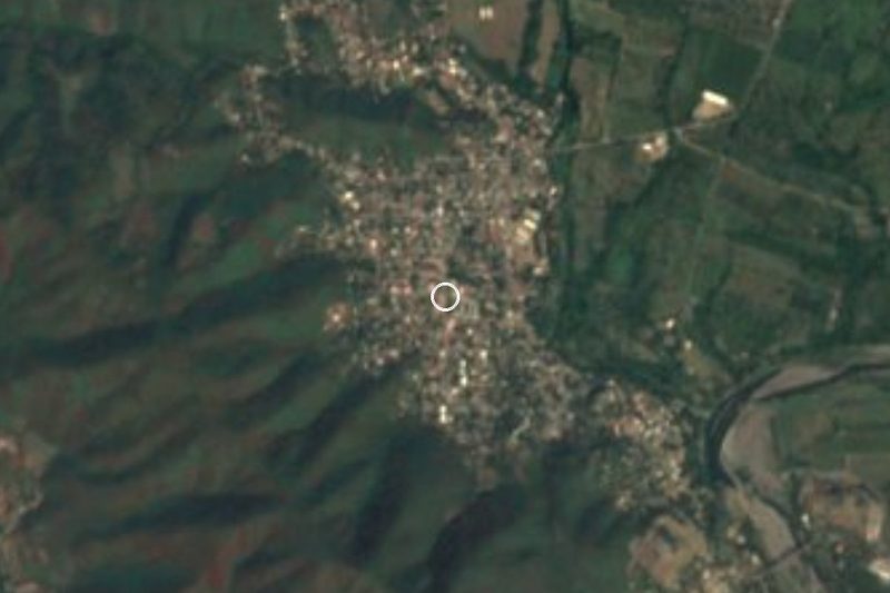

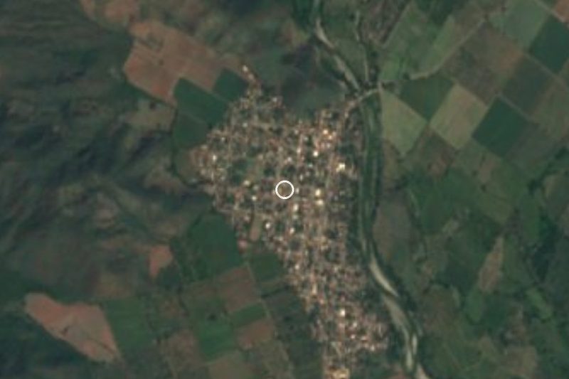
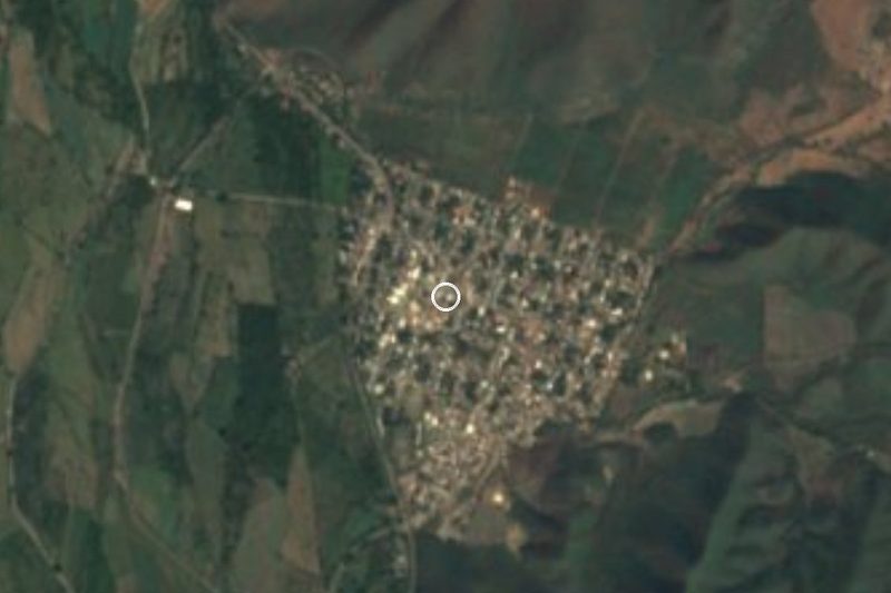


Drive times by road from OpenStreetMap, without traffic. Times marked ~ are estimated from the straight-line distance.
Location from OpenStreetMap. Written by Puebloteca.