Nature reserve Tecomán, Colima Municipality of Tecomán Colima coast
A little-disturbed mangrove estuary on the Tecomán coast, beside one of the Pacific's key olive ridley turtle nesting beaches.
From Tecomán: about 25 min by road (~30 km) How to get there ↓
Near here
See everything nearby ↓



Plan your visit to Estero El Chupadero
Where to stay near Estero El Chupadero
Compare hotels, posadas and guest houses in Estero El Chupadero.
Tours to Estero El Chupadero
Day trips and guided outings from Comala often include Estero El Chupadero; with a local guide you can get there without a car.
 Tours from Manzanillo
Private Chichen Itza & Yaxunah Ruins with Cenote
★ 4.8 (111) · From US$518
How to get to Estero El Chupadero
- From Tecomán: about 25 min by road (~30 km)
- Nearest airport: Colima (CLQ), 32 min by car to Comala
Links open a partner site. We may earn a commission if you book, at no cost to you.
Tours from Manzanillo, near Estero El Chupadero


Tours, prices and ratings from Viator, checked weekly. We may earn a commission if you book.
About Estero El Chupadero
Estero El Chupadero is a brackish lagoon ringed by mangroves on the coast of Tecomán municipality, in southeastern Colima. Four mangrove species grow around it: red, white, buttonwood and the one locals call caballero. Because the forest is so little disturbed, the estuary has been put forward as a protected natural area, and it lies within the Cuyutlán-Chupadero priority marine region. Older residents say the name comes from the custom of bringing cattle here to drink.
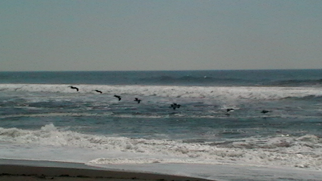
The mangroves shelter herons, pelicans, diving ducks, ospreys, wood storks and the bare-throated tiger heron, along with American crocodiles, green and black iguanas, armadillos, raccoons, coatis and white-tailed deer. Mojarra, tarpon and carp fill the water, and a boat ride is the usual way to see it.
The beach in front, together with Boca de Apiza and El Tecuanillo, makes up the Ramsar site Santuario Playa Boca de Apiza-El Chupadero-El Tecuanillo, listed on 2 February 2008. These are Colima's main sea turtle nesting beaches, used by olive ridley, leatherback and black turtles. As late as the 1970s egg collectors staked out stretches of sand with poles, and some 300 turtles were said to come ashore in a single night. The El Chupadero turtle camp opened in 1987 and is now a sea turtle conservation centre; in its first fifteen years it released 710,817 hatchlings, almost all olive ridleys, and it has hosted school groups and families at releases.
How to get to Estero El Chupadero
The estuary is 30 minutes from Tecomán, 29 km by road. Take the Tecomán–Cerro de Ortega road and turn off towards El Ahijadero; from there it is about 9 km to the estuary, and the village has a paved road down to the beach. From Comala, the nearest Pueblo Mágico, it is 1 h 25 min (88 km) by way of Colima and Tecomán. We found no confirmed public transport to El Ahijadero, so plan on a car or a taxi from Tecomán. The US State Department rates all of Colima outside the Manzanillo corridor at Level 4, 'Do not travel'; travel by day.
Directions to Estero El Chupadero on Google Maps
Distances are in a straight line; the road is usually longer.
Links open a partner site. We may earn a commission if you book, at no cost to you.
From the nearest cities to Estero El Chupadero
- Tecomán · about 30 km by road, ~25 min
- Colima · about 75 km by road, ~1 h 5 min
- Manzanillo · about 85 km by road, ~1 h 15 min
Drive times by road from OpenStreetMap, without traffic or stops. Times marked ~ are estimated from the straight-line distance.
Visiting Estero El Chupadero: what to see and do
Boat ride through red, white, buttonwood and caballero mangroves
Birdwatching: herons, pelicans, ospreys and wood storks
American crocodiles and iguanas along the banks
El Chupadero beach, grey sand facing the open Pacific
The El Chupadero sea turtle conservation centre, running since 1987
Fishing for mojarra and tarpon in the estuary
Plan your trip
Places to stay in Estero El Chupadero
Compare hotels, posadas, and rentals in and around Estero El Chupadero.
Tours & activities
Day trips and guided outings from Comala often include Estero El Chupadero; with a local guide you can get there without a car.
Rental cars
Pick up a car at CLQ (Colima): about 32 min by road to Comala, then 66 km more to Estero El Chupadero, on your own schedule.
Flights
The nearest airport with scheduled flights is Colima (CLQ), about 32 min by road from Comala, the base for Estero El Chupadero.
Travel insurance
If you plan on hiking at Estero El Chupadero, check that your policy covers it: some plans leave adventure activities out.
Mobile data
Signal can drop away from Comala: download a map of the way to Estero El Chupadero before you set out, or carry an eSIM with data.
Links open a partner site. We may earn a commission if you book, at no cost to you.
When to go to Estero El Chupadero warm
Estero El Chupadero shares the climate of Comala, 66 km away. The best months to visit are January, February, November, and December.
See the month-by-month climate of Comala
Weather in Estero El Chupadero now and the next 7 days
Live forecast from Open-Meteo. Chance of rain is the day's highest.
The closest Pueblo Mágico: Comala

Comala is the Pueblo Mágico closest to Estero El Chupadero, with places to stay, food, and more to see.
Closest to Estero El Chupadero
-
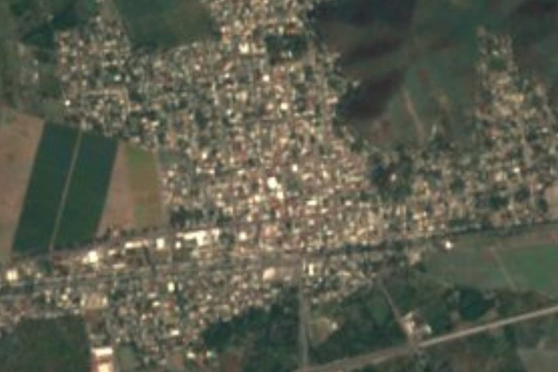
Cerro de Ortega · Town · 6 km away
-
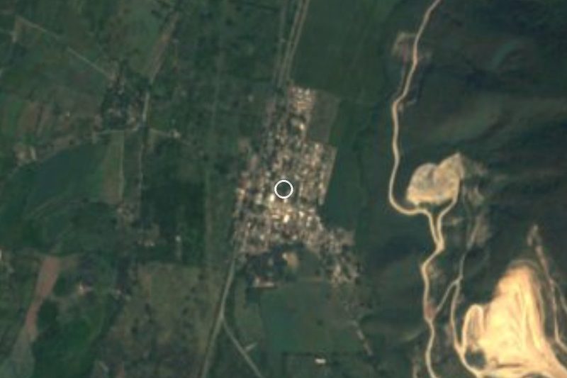
San Juan de Alima · Village · 20 km away
-
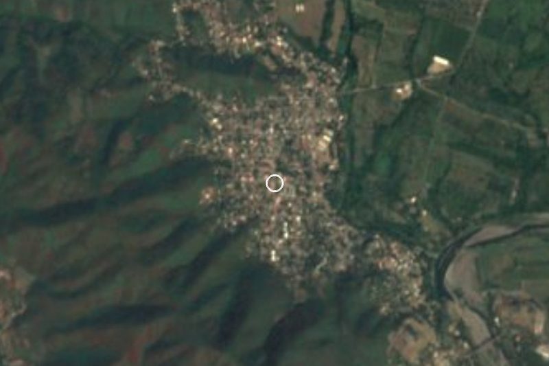
Tecomán · City · 23 km away
-
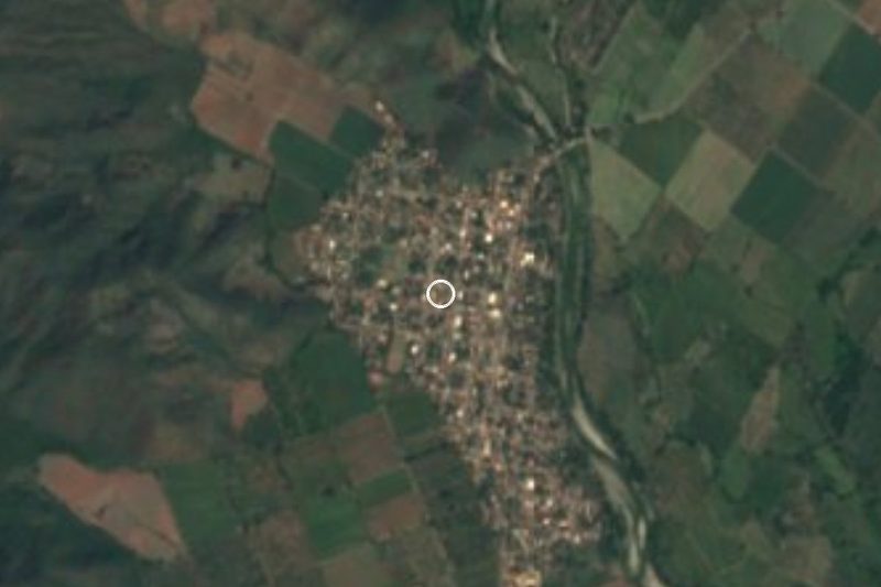
Boca de Pascuales · Beach · 25 km away
-
El Paraíso · Village · 28 km away
-
Ixtlahuacán · Town · 30 km away
-
Armería · Town · 31 km away
-
Caleras · Village · 32 km away
Near Estero El Chupadero


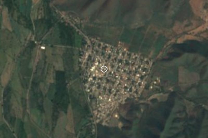


Drive times by road from OpenStreetMap, without traffic. Times marked ~ are estimated from the straight-line distance.
Location from OpenStreetMap. Written by Puebloteca.