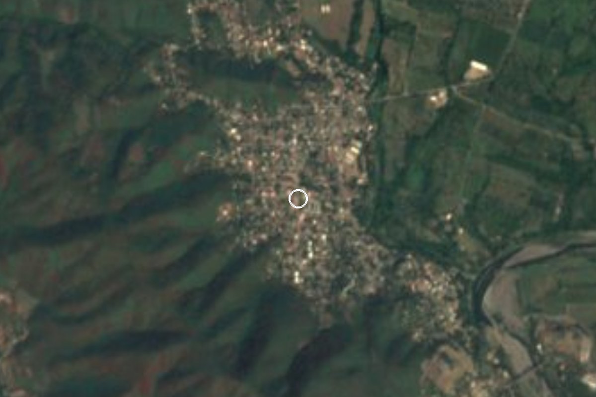
Village Armería, Colima Municipality of Armería Colima coast
An ejido town on the Colima coastal plain, born in 1960 from the lands of the Paso del Río hacienda. Guadalupe fiesta January 1 to 12.
From Tecomán: about 10 min by road (~15 km) How to get there ↓
Near here
See everything nearby ↓


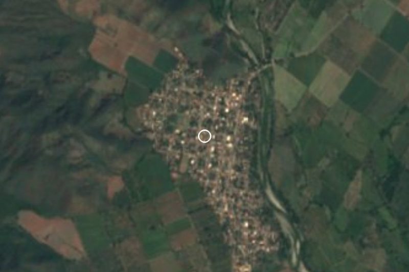
Plan your visit to Cofradía de Juárez
Where to stay near Cofradía de Juárez
Compare hotels, posadas and guest houses in Cofradía de Juárez.
Tours to Cofradía de Juárez
Day trips and guided outings from Comala often include Cofradía de Juárez; with a local guide you can get there without a car.
 Tours from Manzanillo
Private Chichen Itza & Yaxunah Ruins with Cenote
★ 4.8 (111) · From US$518
How to get to Cofradía de Juárez
- From Tecomán: about 10 min by road (~15 km)
- Nearest airport: Colima (CLQ), 32 min by car to Comala
Links open a partner site. We may earn a commission if you book, at no cost to you.
Tours from Manzanillo, near Cofradía de Juárez


Tours, prices and ratings from Viator, checked weekly. We may earn a commission if you book.
About Cofradía de Juárez
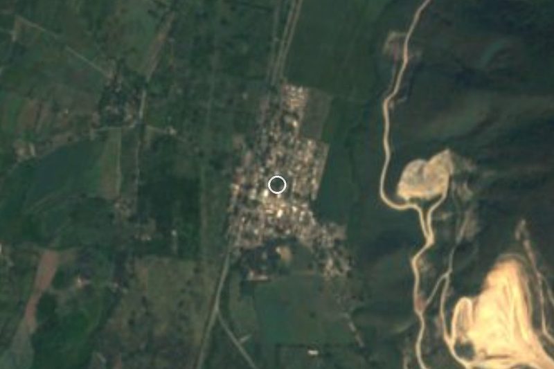
Cofradía de Juárez is the second-largest community in the municipality of Armería, on Colima's coastal plain, about 5 km from the municipal seat and only 51 metres above sea level. It had 3,776 residents in 2020, living in some 1,150 homes. It is hot most of the year, with a municipal average of about 26 °C and most rain falling from July to September.
The town is a product of land reform. Its fields once belonged to the vast Paso del Río hacienda, bought in 1778 by the Count of Regla and taken over in 1902 by a company of the Chicago surgeon Albert J. Ochsner. Run by the Italian manager Stephano Gherzi, it grew thousands of coconut palms, raised zebu cattle and shipped coconut oil out through Manzanillo. In the 1950s several groups of farmworkers petitioned for land, one of them under the name Cofradía de Juárez. A presidential resolution creating the "Ejido Cofradía de Juárez y sus anexos" was published on December 7, 1960, and three days later the new ejido members occupied the estate buildings known as El Molino. A new town was laid out in the early 1960s, and President Adolfo López Mateos handed over the titles to the house lots.
The town has its own local board, and its big event is the January fiesta for the Virgin of Guadalupe: twelve days, January 1 to 12, with a fiesta queen, bands, a giant Three Kings bread in the main square and a pilgrimage on the last day. Around 3,000 people came to the 2019 closing night.
How to get to Cofradía de Juárez
Cofradía de Juárez is about 5 km from Ciudad Armería on state road 135, the road that continues north to Rincón de López. From Tecomán, the nearest city, it is 15 minutes and 13 km by road; from Comala, the nearest Pueblo Mágico, 1 hour and 60 km, heading down through Colima. Armería sits on federal highways 110 and 200 and the toll road to Manzanillo. Buses between Colima, Tecomán and Manzanillo run all day and may stop in Armería; Tecomán's bus station is at Calle Progreso 725. The US State Department rates Colima state Level 4, "Do not travel", except for the Manzanillo tourist zone, and the UK advises against all but essential travel to the state.
Directions to Cofradía de Juárez on Google Maps
Distances are in a straight line; the road is usually longer.
Links open a partner site. We may earn a commission if you book, at no cost to you.
From the nearest cities to Cofradía de Juárez
- Tecomán · about 15 km by road, ~10 min
- Manzanillo · about 50 km by road, ~45 min
- Colima · about 50 km by road, ~45 min
Drive times by road from OpenStreetMap, without traffic or stops. Times marked ~ are estimated from the straight-line distance.
Before you go to Cofradía de Juárez: hours, prices and tips
- Best season
- Virgin of Guadalupe fiesta from January 1 to 12, with a queen, bands and a pilgrimage on the last day. Colima Noticias · checked Oct 2026
Hours and prices change, especially around holidays. Each fact links to where we checked it.
Visiting Cofradía de Juárez: what to see and do
Visit the main square, the heart of the January Guadalupe fiesta.
Catch the fair from January 1 to 12, with the crowning of a queen and a closing pilgrimage.
See an ejido town laid out in the early 1960s after the Paso del Río hacienda was broken up.
Drive across the coastal plain of coconut palms and orchards between Armería and Tecomán.
Try the local white pozole, cocada and tuba, the drink made from palm sap.
Plan your trip
Places to stay in Cofradía de Juárez
Compare hotels, posadas, and rentals in and around Cofradía de Juárez.
Tours & activities
Day trips and guided outings from Comala often include Cofradía de Juárez; with a local guide you can get there without a car.
Rental cars
Pick up a car at CLQ (Colima): about 32 min by road to Comala, then 45 km more to Cofradía de Juárez, on your own schedule.
Flights
The nearest airport with scheduled flights is Colima (CLQ), about 32 min by road from Comala, the base for Cofradía de Juárez.
Mobile data
Signal can drop away from Comala: download a map of the way to Cofradía de Juárez before you set out, or carry an eSIM with data.
Links open a partner site. We may earn a commission if you book, at no cost to you.
When to go to Cofradía de Juárez warm
Cofradía de Juárez shares the climate of Comala, 45 km away. The best months to visit are January, February, November, and December.
See the month-by-month climate of Comala
Weather in Cofradía de Juárez now and the next 7 days
Live forecast from Open-Meteo. Chance of rain is the day's highest.
The closest Pueblo Mágico: Comala

Comala is the Pueblo Mágico closest to Cofradía de Juárez, with places to stay, food, and more to see.
Closest to Cofradía de Juárez
-
Armería · Town · 3 km away
-
Caleras · Village · 9 km away
-
El Paraíso · Village · 10 km away
-
Tecomán · City · 10 km away
-
Boca de Pascuales · Beach · 11 km away
-
Rincón de López · Village · 11 km away
-
Cuyutlán · Village · 13 km away
-
Museo Comunitario de la Sal · Landmark · 13 km away


Near Cofradía de Juárez
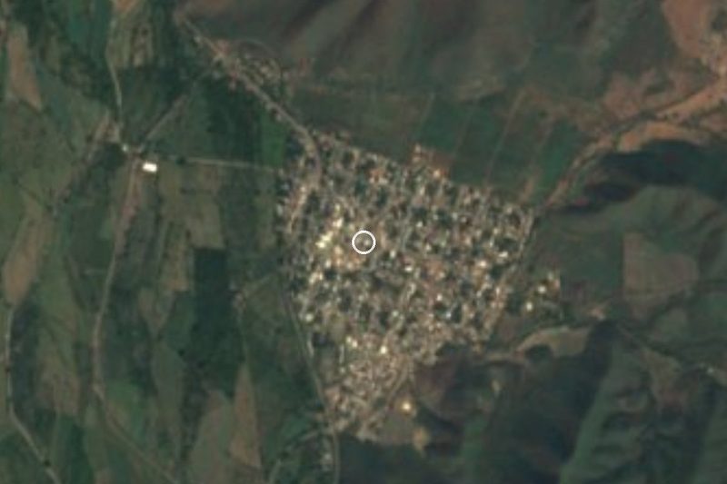


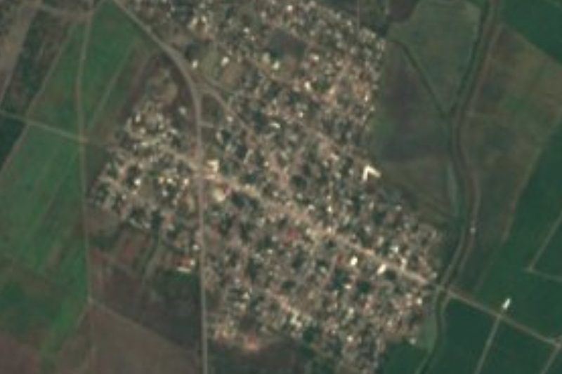
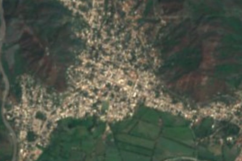


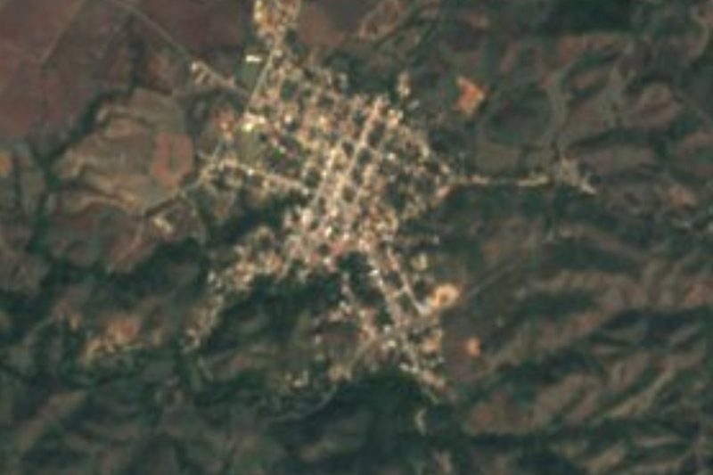

Drive times by road from OpenStreetMap, without traffic. Times marked ~ are estimated from the straight-line distance.
Location from OpenStreetMap. Written by Puebloteca.