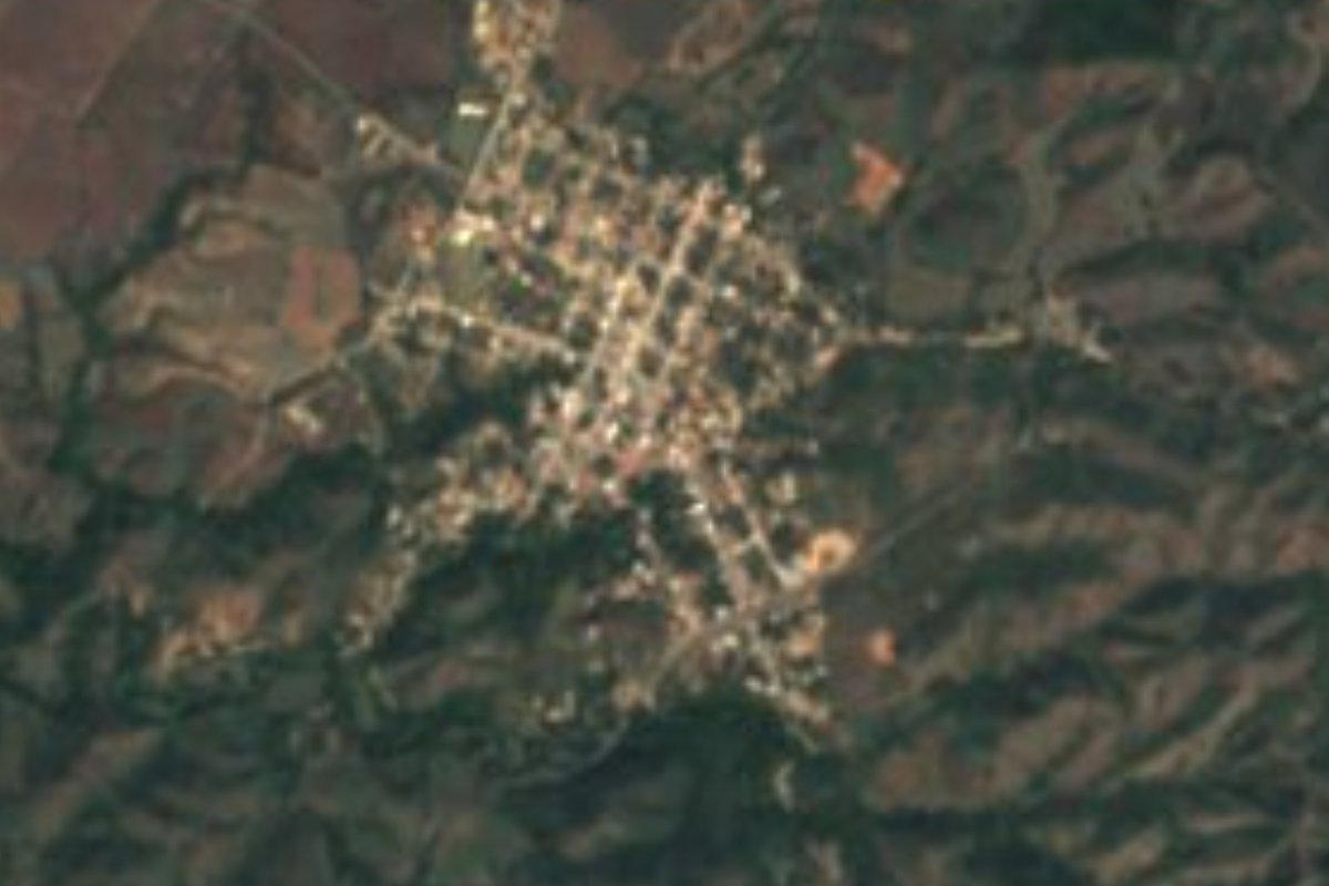
Town Manzanillo, Colima Municipality of Manzanillo Colima coast
A farming and cattle town in Manzanillo's hills at 370 m, on the road to Minatitlán; Candelaria fiesta on February 2.
From Manzanillo: about 25 min by road (~25 km) How to get there ↓
Near here
See everything nearby ↓



Plan your visit to Camotlán de Miraflores
Where to stay near Camotlán de Miraflores
Compare hotels, posadas and guest houses in Camotlán de Miraflores.
Tours to Camotlán de Miraflores
Day trips around Comala sometimes stop in Camotlán de Miraflores; a tour is the easy way to see it without a car.
 Tours from Manzanillo
Private Chichen Itza & Yaxunah Ruins with Cenote
★ 4.8 (111) · From US$518
How to get to Camotlán de Miraflores
- From Manzanillo: about 25 min by road (~25 km)
- Nearest airport: Colima (CLQ), 32 min by car to Comala
Links open a partner site. We may earn a commission if you book, at no cost to you.
Tours from Manzanillo, near Camotlán de Miraflores


Tours, prices and ratings from Viator, checked weekly. We may earn a commission if you book.
About Camotlán de Miraflores
Camotlán de Miraflores belongs to the municipality of Manzanillo, but it is nowhere near the sea: it sits inland, in the hill country of the municipality's north, at about 370 metres. With close to 2,000 people it is one of the municipality's most important villages outside the port city.
Life here runs on cattle and crops. Fields are sown in the rainy season and, in the dry months, watered from the El Carrizo river: maize, beans, rice, chillies, tomatoes, sorghum and watermelon. Camotlán is the service centre for a dozen surrounding ranches, among them El Huizcolote, Cedros, La Rosa, Puertecito de Lajas, Veladero de Camotlán, San José de Lúmber, Punta de Agua de Camotlán and Paticajo, whose teenagers come here for school up to high-school level.
The big day is February 2, the feast of the Virgen de la Candelaria, with pilgrimages and a dawn serenade of mañanitas joined by the whole village and its neighbours. After the Virgin's day come the ejido fiestas, with jaripeo bull riding and other public events. For visitors staying on the coast it is a look at Manzanillo's ranching side, all pasture and hills, half an hour from the beaches.
How to get to Camotlán de Miraflores
Camotlán de Miraflores lies on federal highway 98, the paved road from Manzanillo to Minatitlán, which runs right through the village. From Manzanillo it is 30 minutes by car, 26 km by road, climbing northeast into the hills. Comala, the nearest Pueblo Mágico, is 1 h 35 min away (92 km by road). The UK government advises against all but essential travel to Colima state except Manzanillo city reached by sea, by air or directly on road 200 from the airport; Camotlán lies outside that exception.
Directions to Camotlán de Miraflores on Google Maps
Distances are in a straight line; the road is usually longer.
Links open a partner site. We may earn a commission if you book, at no cost to you.
From the nearest cities to Camotlán de Miraflores
- Manzanillo · about 25 km by road, ~25 min
- Tecomán · about 65 km by road, ~1 h
- Colima · about 70 km by road, ~1 h
Drive times by road from OpenStreetMap, without traffic or stops. Times marked ~ are estimated from the straight-line distance.
Before you go to Camotlán de Miraflores: hours, prices and tips
- Best season
- Virgen de la Candelaria fiesta on February 2, followed by the ejido fiestas with jaripeos. Wikipedia (es) · checked Oct 2026
Hours and prices change, especially around holidays. Each fact links to where we checked it.
Visiting Camotlán de Miraflores: what to see and do
Join the Virgen de la Candelaria fiesta on February 2, with pilgrimages and mañanitas.
Watch the jaripeo bull riding at the ejido fiestas that follow Candelaria.
See the irrigated fields fed by the El Carrizo river.
Drive on along federal highway 98 through the hills toward Minatitlán.
Plan your trip
Places to stay in Camotlán de Miraflores
Compare hotels, posadas, and rentals in and around Camotlán de Miraflores.
Tours & activities
Day trips around Comala sometimes stop in Camotlán de Miraflores; a tour is the easy way to see it without a car.
Rental cars
Pick up a car at CLQ (Colima): about 32 min by road to Comala, then 51 km more to Camotlán de Miraflores, on your own schedule.
Flights
The nearest airport with scheduled flights is Colima (CLQ), about 32 min by road from Comala, the base for Camotlán de Miraflores.
Mobile data
Signal can drop away from Comala: download a map of the way to Camotlán de Miraflores before you set out, or carry an eSIM with data.
Links open a partner site. We may earn a commission if you book, at no cost to you.
When to go to Camotlán de Miraflores warm
Camotlán de Miraflores shares the climate of Comala, 51 km away. The best months to visit are January, February, November, and December.
See the month-by-month climate of Comala
Weather in Camotlán de Miraflores now and the next 7 days
Live forecast from Open-Meteo. Chance of rain is the day's highest.
The closest Pueblo Mágico: Comala

Comala is the Pueblo Mágico closest to Camotlán de Miraflores, with places to stay, food, and more to see.
Closest to Camotlán de Miraflores
-
Playa Olas Altas · Beach · 17 km away
-
Playa Salagua · Beach · 17 km away
-
El Colomo · Town · 18 km away
-
Playa La Audiencia · Beach · 18 km away
-
Playa Miramar · Beach · 19 km away
-
Manzanillo · City · 20 km away
-
La Boquita · Beach · 21 km away
-
Laguna de Cuyutlán · Lagoon · 22 km away


Near Camotlán de Miraflores



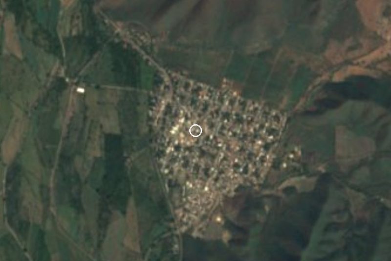

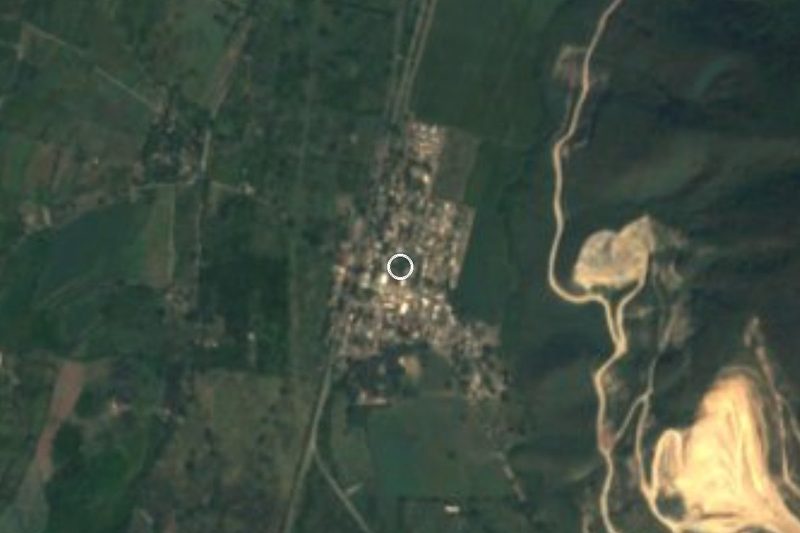
Drive times by road from OpenStreetMap, without traffic. Times marked ~ are estimated from the straight-line distance.
Location from OpenStreetMap. Written by Puebloteca.