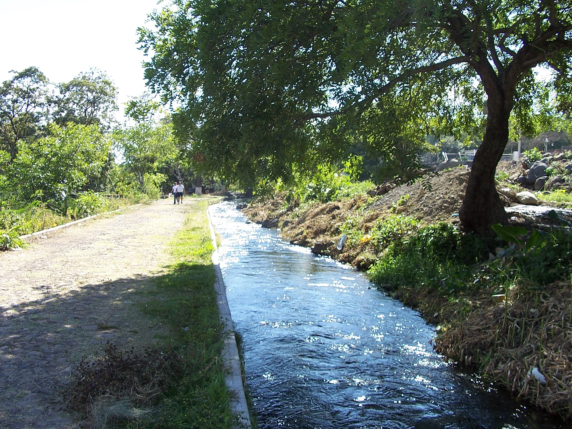
Town Parácuaro, Michoacán Tierra Caliente
Tierra Caliente town where Juan Gabriel was born in 1950 and the 1913 Plan of Parácuaro was signed. 30 minutes from Apatzingán.
From Apatzingán: about 15 min by road (~20 km) How to get there ↓
Near here
See everything nearby ↓


Plan your visit to Parácuaro
Where to stay near Parácuaro
Compare hotels, posadas and guest houses in Parácuaro.
Tours to Parácuaro
Day trips around Paracho sometimes stop in Parácuaro; a tour is the easy way to see it without a car.
How to get to Parácuaro
- From Apatzingán: about 15 min by road (~20 km)
- Nearest airport: Uruapan (UPN), 42 min by car to Paracho
Links open a partner site. We may earn a commission if you book, at no cost to you.
About Parácuaro
Parácuaro is the seat of the municipality of the same name in Michoacán's Tierra Caliente, at 381 metres and about 200 km from Morelia. It had 3,898 people in 2020 and lives from crops and cattle. Its name has two readings: "where fields are tilled" and "place with good poles for roofs".
Nahua peoples lived here before the area fell under Purépecha rule. In colonial times haciendas such as La Guadalupe, El Valle and La Perla grew up around it. It was a dependency of Apatzingán from 1831, became a municipality in November 1861, and in 1862 its seat was made a villa, Villa de Parácuaro de Morelos. On April 21, 1913 the Plan of Parácuaro was signed here and Colonel Cenobio Moreno Bucio, born in the town, took up arms against Victoriano Huerta. In 1917 the bandit Luis Gutiérrez, "El Chivo Encantado", burned it. In 1942 Nueva Italia, by then the larger town, split off to form its own municipality.
Alberto Aguilera Valadez, the singer Juan Gabriel, was born here on January 7, 1950. His family moved to Ciudad Juárez when he was a child, but he later bought the house where he was born, which carries a plaque in his honour, and his mother, Victoria Valadez, has lain in the municipal cemetery since 1974. When he died in 2016 neighbours covered the street in flowers, and anniversaries of his death have brought a mass, flowers and music. Actress Elpidia Carrillo and actor Agustín Bernal also come from Parácuaro.
How to get to Parácuaro
Parácuaro lies in the Apatzingán valley, west of Nueva Italia. From Apatzingán it is 30 minutes by car (22 km by road). From Morelia, about 200 km away, the route runs Morelia-Uruapan-Nueva Italia-Parácuaro. The nearest Pueblo Mágico by road is Santa Clara del Cobre, 2 hours away (119 km). Long-distance buses such as Parhikuni serve Apatzingán and Cuatro Caminos in Nueva Italia; from there you continue by taxi or local transport. The US State Department rates Michoacán at Level 4, 'Do not travel', and in 2018 town officials said violence was keeping visitors away; drive by day only.
Directions to Parácuaro on Google Maps
Distances are in a straight line; the road is usually longer.
Links open a partner site. We may earn a commission if you book, at no cost to you.
From the nearest cities to Parácuaro
- Apatzingán · about 20 km by road, ~15 min
- Uruapan · about 45 km by road, ~40 min
- Pátzcuaro · about 100 km by road, ~1 h 25 min
Drive times by road from OpenStreetMap, without traffic or stops. Times marked ~ are estimated from the straight-line distance.
Before you go to Parácuaro: hours, prices and tips
- Best season
- The Virgin of the Assumption is celebrated August 1-15; November 20 marks the municipality's anniversary and the Revolution; carnival comes early in the year. Enciclopedia de los Municipios de México (INAFED) · checked Oct 2026
Hours and prices change, especially around holidays. Each fact links to where we checked it.
Visiting Parácuaro: what to see and do
See Juan Gabriel's birth house and its commemorative plaque.
Visit the grave of his mother, Victoria Valadez, in the municipal cemetery.
Step into the parish church.
See the monument to Colonel Cenobio Moreno, who rose against Huerta in 1913.
Cool off at the balneario in town.
Try morisqueta, uchepos, corundas and tamarind pulp sweets.
Come August 1-15 for the Virgin of the Assumption feast, or on January 7, Juan Gabriel's birthday.
Plan your trip
Places to stay in Parácuaro
Compare hotels, posadas, and rentals in and around Parácuaro.
Tours & activities
Day trips around Paracho sometimes stop in Parácuaro; a tour is the easy way to see it without a car.
Rental cars
Pick up a car at UPN (Uruapan): about 42 min by road to Paracho, then 59 km more to Parácuaro, on your own schedule.
Flights
The nearest airport with scheduled flights is Uruapan (UPN), about 42 min by road from Paracho, the base for Parácuaro.
Mobile data
Signal can drop away from Paracho: download a map of the way to Parácuaro before you set out, or carry an eSIM with data.
Links open a partner site. We may earn a commission if you book, at no cost to you.
When to go to Parácuaro cool
Parácuaro shares the climate of Paracho, 59 km away. The best months to visit are January, March, April, and November.
See the month-by-month climate of Paracho
Weather in Parácuaro now and the next 7 days
Live forecast from Open-Meteo. Chance of rain is the day's highest.
The closest Pueblo Mágico: Paracho

Paracho is the Pueblo Mágico closest to Parácuaro, with places to stay, food, and more to see.
Also close to
- Santa Clara del Cobre · Michoacán · 68 km away
- Pátzcuaro · Michoacán · 76 km away
Closest to Parácuaro
-
Apatzingán · City · 15 km away
-
Nueva Italia · Town · 19 km away
-
La Tzaráracua · Waterfall · 27 km away
-
Barrio de San Pedro · Landmark · 34 km away
-
La Huatápera (Museo de los Cuatro Pueblos Indios) · Landmark · 35 km away
-
Parque Nacional Barranca del Cupatitzio · Nature reserve · 35 km away
-
Uruapan · City · 35 km away
-
Buenavista Tomatlán · Village · 39 km away


Near Parácuaro


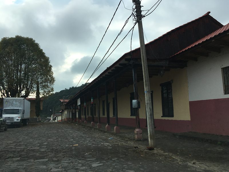


Drive times by road from OpenStreetMap, without traffic. Times marked ~ are estimated from the straight-line distance.
Location from OpenStreetMap. Written by Puebloteca.