Town Múgica, Michoacán Tierra Caliente
Seat of Múgica in the Tierra Caliente, born from Italian Dante Cusi's rice hacienda and handed out as an ejido in 1938.
From Apatzingán: about 30 min by road (~35 km) How to get there ↓
Near here
See everything nearby ↓


Plan your visit to Nueva Italia
Where to stay near Nueva Italia
Compare hotels, posadas and guest houses in Nueva Italia.
Tours to Nueva Italia
Day trips around Santa Clara del Cobre sometimes stop in Nueva Italia; a tour is the easy way to see it without a car.
How to get to Nueva Italia
- From Apatzingán: about 30 min by road (~35 km)
- Nearest airport: Uruapan (UPN), 53 min by car to Santa Clara del Cobre
Links open a partner site. We may earn a commission if you book, at no cost to you.
About Nueva Italia
Nueva Italia de Ruiz is the seat of Múgica municipality and, with 32,328 people in 2020, the second-largest town of Michoacán's Tierra Caliente after Apatzingán. It sits at about 420 metres in the Balsas depression, hot all year, with temperatures from 10 to 41 °C and an average near 26 °C.
In the early 1900s this was the Ojo de Agua hacienda, home to some twenty families growing rain-fed maize and raising a few cattle. In 1903 it passed to the family of the Italian Dante Cusi, who renamed it Nueva Italia, brought water from the Marqués river through a steel-pipe siphon and turned the grassland into fields of rice, cotton, melon and lime; Italian workers he hired were among the first settlers. In 1938 Lázaro Cárdenas's government expropriated the hacienda and handed it out as an ejido of over 22,000 hectares. In 1942 the town broke away from Parácuaro as the seat of a new municipality, Zaragoza, renamed Múgica in 1969; "de Ruiz" honours the Michoacán historian Eduardo Ruiz.
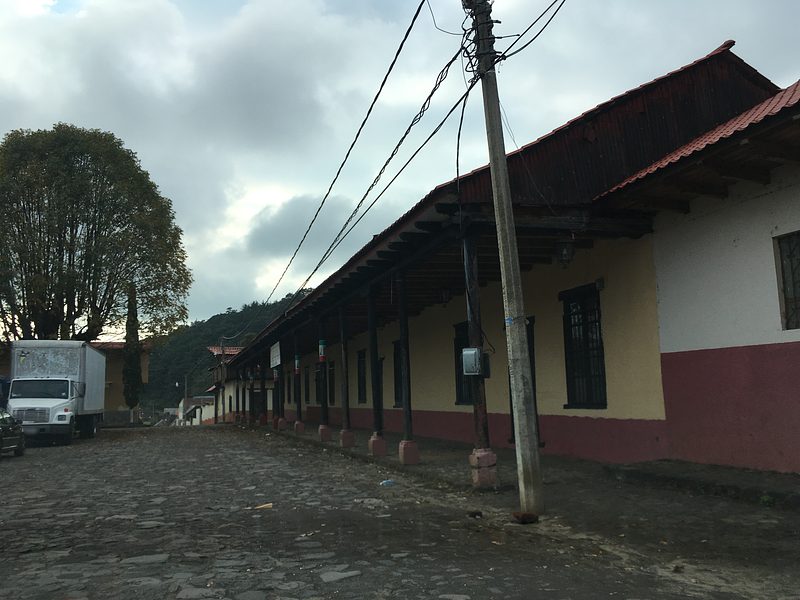
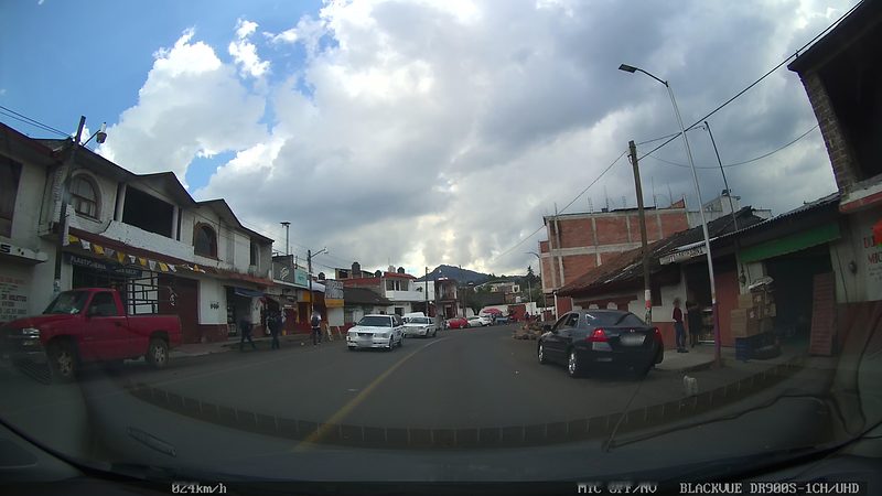
Avenida Lázaro Cárdenas, four lanes wide, is federal highway 37 as it passes through town. At Cuatro Caminos on the south side, roads to Uruapan, Apatzingán, Lázaro Cárdenas and Morelia meet, which is why locals call it the road hub of Michoacán. Farming still drives the place: maize, cucumber, mango and lime. Local dishes are morisqueta, enchiladas, goat birria and mojarra. In January 2014 the self-defence militias took the town after hours of fighting with the Knights Templar cartel.
How to get to Nueva Italia
Nueva Italia lies on federal highway 37, which comes down from Uruapan through Lombardía and carries on to Arteaga and Playa Azul. At Cuatro Caminos, south of town, it meets the road to Apatzingán, the Siglo XXI toll road to Morelia (165 km) and the road to Lázaro Cárdenas. From Apatzingán it is 35 minutes by car (35 km by road); the nearest Pueblo Mágico by road is Santa Clara del Cobre, 1 h 20 min away (86 km). By bus, Parhikuni stops at Cuatro Caminos on its routes between Morelia, Uruapan, Apatzingán and the coast. The US State Department rates Michoacán at Level 4, 'Do not travel'; keep driving to daylight hours.
Directions to Nueva Italia on Google Maps
Distances are in a straight line; the road is usually longer.
Links open a partner site. We may earn a commission if you book, at no cost to you.
From the nearest cities to Nueva Italia
- Apatzingán · about 35 km by road, ~30 min
- Uruapan · about 55 km by road, ~50 min
- Pátzcuaro · about 100 km by road, ~1 h 25 min
Drive times by road from OpenStreetMap, without traffic or stops. Times marked ~ are estimated from the straight-line distance.
Before you go to Nueva Italia: hours, prices and tips
- Best season
- November 17 marks the anniversary of the ejido land grant and December 12 the Virgin of Guadalupe feast; April 10 commemorates Emiliano Zapata. Enciclopedia de los Municipios de México (INAFED) · checked Oct 2026
Hours and prices change, especially around holidays. Each fact links to where we checked it.
Visiting Nueva Italia: what to see and do
Walk Avenida Lázaro Cárdenas and the main square, with the bust of General Francisco J. Múgica in the municipal pergola.
See the Emiliano Zapata monument at Cuatro Caminos, the highway junction south of town.
Spot the Patas del Diablo from the Uruapan road, two rock formations in the Cupatitzio canyon shaped like giant feet.
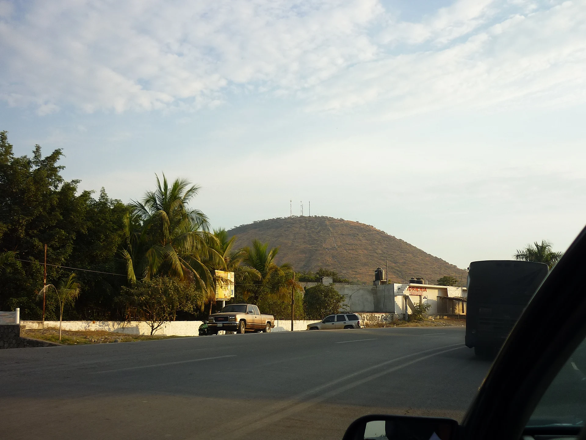
Pick out Cerro Nueva Italia, the hill that rises over the town entrance.
Try morisqueta, goat birria and mojarra.
Come on November 17, anniversary of the ejido land grant, or December 12, the Virgin of Guadalupe feast.
Plan your trip
Places to stay in Nueva Italia
Compare hotels, posadas, and rentals in and around Nueva Italia.
Tours & activities
Day trips around Santa Clara del Cobre sometimes stop in Nueva Italia; a tour is the easy way to see it without a car.
Rental cars
Pick up a car at UPN (Uruapan): about 53 min by road to Santa Clara del Cobre, then 64 km more to Nueva Italia, on your own schedule.
Flights
The nearest airport with scheduled flights is Uruapan (UPN), about 53 min by road from Santa Clara del Cobre, the base for Nueva Italia.
Mobile data
Signal can drop away from Santa Clara del Cobre: download a map of the way to Nueva Italia before you set out, or carry an eSIM with data.
Links open a partner site. We may earn a commission if you book, at no cost to you.
When to go to Nueva Italia cool
Nueva Italia shares the climate of Santa Clara del Cobre, 64 km away. The best months to visit are January, February, March, and April.
See the month-by-month climate of Santa Clara del Cobre
Weather in Nueva Italia now and the next 7 days
Live forecast from Open-Meteo. Chance of rain is the day's highest.
The closest Pueblo Mágico: Santa Clara del Cobre

Santa Clara del Cobre is the Pueblo Mágico closest to Nueva Italia, with places to stay, food, and more to see.
Also close to
Closest to Nueva Italia
-
Parácuaro · Town · 19 km away
-
Apatzingán · City · 28 km away
-
La Tzaráracua · Waterfall · 37 km away
-
Barrio de San Pedro · Landmark · 44 km away
-
La Huatápera (Museo de los Cuatro Pueblos Indios) · Landmark · 44 km away
-
Uruapan · City · 44 km away
-
Ario de Rosales · Town · 45 km away
-
Parque Nacional Barranca del Cupatitzio · Nature reserve · 45 km away


Near Nueva Italia


Drive times by road from OpenStreetMap, without traffic. Times marked ~ are estimated from the straight-line distance.
Location from OpenStreetMap. Written by Puebloteca.